The best mountain hikes around Romano D'Ezzelino
4.7
(11)
128
hikers
11
hikes
Mountaineering routes around Romano D'Ezzelino are characterized by rugged mountainous landscapes, offering challenging ascents and panoramic views. The region features varied terrain, including steep inclines and rocky paths, typical of the pre-Alpine environment. These routes often lead through forested areas and open mountain ridges, providing diverse experiences for mountaineers.
Best mountaineering routes around Romano D'Ezzelino
- The most popular mountaineering route is Via Ferrata Sass Brusai – Monte Grappa War Memorial loop from Pieve del Grappa, an 8.9 miles (14.3…
Last updated: May 25, 2026
4.9
(7)
43
hikers
8.82km
04:59
880m
880m
Hard mountaineering route. Good fitness required. Sure-footedness, sturdy shoes and alpine experience required.
5.0
(2)
32
hikers
14.3km
07:24
1,280m
1,280m
Hard mountaineering route. Very good fitness required. Sure-footedness, sturdy shoes and alpine experience required.

Sign up for free
28
hikers
12.1km
06:31
1,110m
1,110m
Hard mountaineering route. Very good fitness required. Sure-footedness, sturdy shoes and alpine experience required.
7
hikers
13.6km
04:17
480m
480m
Hard mountaineering route. Good fitness required. Sure-footedness, sturdy shoes and alpine experience required.
4
hikers
Moderate mountaineering route. Good fitness required. Mostly accessible paths. Sure-footedness required.
Get access to more routes and recommendations from other explorers.
Sign up for free
Already have an account?
Our route recommendations are based on thousands of hikes, rides, and runs completed by other people on komoot.
Start today with a free account
Your next adventure awaits.
Login or Signup
Popular around Romano D'Ezzelino

Other adventures around Romano D'Ezzelino

Tips from the Community

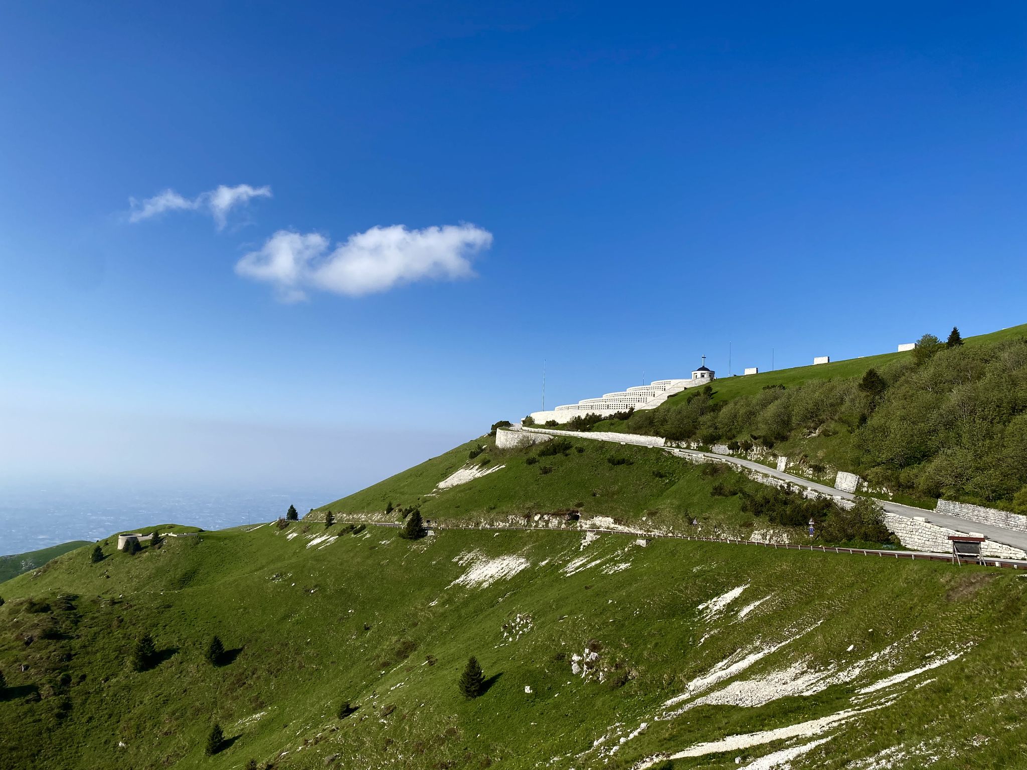
The Sentiero delle Meatte is one of the most spectacular and frequented hiking routes in the Grappa Massif, located on the Treviso side above the town of San Liberale. This path, which winds at an altitude of about 1,300-1,500 meters, is a masterpiece of military engineering from the Great War, entirely carved into the rock to allow the movement of troops and supplies at high altitude. Characterized by a moderate slope and a series of tunnels and aerial passages, the trail offers dizzying views ranging from the Venetian plain to the peaks of the Dolomites. Walking along the Meatte means crossing an open-air museum, where the wild beauty of the grassy ridges blends with the historical memory of the fortifications, barracks, and trenches still visible along the route.
0
0


One of the few via ferratas in the Brenta Massif. This C/D climb runs along a ridge on the southeast flank of Monte Grappa and runs above a tunnel on the SP141. An exit is also available there.
0
0

Beautiful via ferrata of medium difficulty, lasting about two hours and with a difference in altitude of about 250 m. It has a long and steep approach path that can exhaust your energy a bit for the via ferrata itself. The via ferrata ends with a beautiful bridge suspended between two rock pillars. For the descent I recommend taking the beautiful path 152 delle Meatte and then 151, but there are also other options, including the via ferrata Guzzella downhill for those who still have strength. Finally, be careful that the exposure is south so always under the sun's rays: hence the name 'Sass Brusai'.
1
0

The question is: why is this place worth visiting? The answer is only one: because the landscape is wonderful, because there is a spectacular view, because it is a site of historical importance, because in this place emotions and thoughts are unleashed. Getting there by the route I took is not difficult or dangerous and with the snow it is a spectacle. Good legs and in a few hours you can get there.
1
0

be careful when you walk on it, always in the sun and watch out for ticks
1
0

Beautiful and exciting, the suspension bridge is the icing on the cake of the Sass Brusai via ferrata.
0
0

The Bassano refuge is located on the top of Monte Grappa, at 1,750 meters above sea level, and is the only refreshment point near the Sacrario. The structure offers a panoramic view that ranges from the Veneto plain to the Dolomites and offers typical dishes of Venetian cuisine, such as pappardelle with wild boar and gnocchi with mountain cheeses. The refuge is a resting place for hikers and cyclists, and is open all year round, with closures on Mondays and Tuesdays during the winter. Monte Grappa is known for its historical and natural importance. An ideal destination for mountain and history lovers, it offers a 360-degree view and numerous trails, as well as being a point of reference for the memory of the world wars. The summit is accessible via trails, asphalt roads and cycle paths.
1
0
Frequently Asked Questions
How many mountaineering routes are available around Romano D'Ezzelino?
There are over 10 dedicated mountaineering routes in the Romano D'Ezzelino area, offering a range of challenging experiences for those seeking mountain adventures.
Are there any easy mountaineering routes suitable for beginners in Romano D'Ezzelino?
The mountaineering routes around Romano D'Ezzelino are primarily designed for experienced mountaineers, with most routes rated as difficult. However, there are a few moderate options, such as the Rifugio Monte Grappa loop from Romano d'Ezzelino, which offers a less strenuous ascent while still providing a rewarding mountain experience.
Where can I find advanced mountaineering trails near Romano D'Ezzelino?
The region is known for its challenging terrain. Many routes feature via ferratas and significant elevation gains. For instance, the Via Ferrata Sass Brusai loop from Pieve del Grappa is a difficult 8.7 km path offering an engaging via ferrata experience through mountainous terrain.
What is the longest mountaineering trail in the area?
One of the longer and more challenging routes is the Mountaineering loop from Pieve del Grappa, which spans 17.3 km and typically takes around 7 hours and 52 minutes to complete, leading through varied mountainous terrain.
What kind of geological features can be observed on mountaineering routes near Romano D'Ezzelino?
The pre-Alpine environment around Romano D'Ezzelino features rugged mountainous landscapes, including steep inclines and rocky paths. You'll encounter diverse terrain, from forested areas to open mountain ridges, characteristic of the Monte Grappa massif.
What are some scenic viewpoints along the mountaineering trails?
Many routes offer panoramic views of the surrounding pre-Alps. The Via Ferrata Sass Brusai – Monte Grappa War Memorial loop from Pieve del Grappa, for example, combines a challenging via ferrata with historical landmarks and expansive vistas from Monte Grappa.
Are there any family-friendly options for hiking with kids in the Romano D'Ezzelino area?
While most mountaineering routes are challenging, the broader Romano D'Ezzelino area offers various outdoor activities. For family-friendly options, consider exploring easier walking trails or visiting nearby attractions like the Ezzelini Trail, which is suitable for cycling and walking.
What is the best time of year for mountaineering in Romano D'Ezzelino?
The best time for mountaineering in this pre-Alpine region is typically from late spring to early autumn (May to October), when the weather is more stable and trails are clear of snow. Always check local weather forecasts before heading out.
What should I pack for mountaineering in Romano D'Ezzelino?
Given the challenging nature of these routes, it's essential to pack appropriate mountaineering gear, including sturdy hiking boots, layers of clothing, rain gear, a helmet and via ferrata set if tackling such routes, sufficient water, snacks, a map, and a first-aid kit.
Are there any interesting landmarks or attractions near the mountaineering routes?
Yes, the area is rich in history and natural beauty. Along some routes, you might encounter the significant Monte Grappa War Memorial. Other nearby attractions include the Oliero Caves and the picturesque settlements of Valstagna and Ponte Vecchio on the Brenta.
What do other mountaineers enjoy most about the routes in Romano D'Ezzelino?
The area is highly rated by the komoot community, with an average score of 4.7 stars. Reviewers often praise the challenging nature of the routes, the engaging via ferrata experiences, and the rewarding panoramic views from the mountain ridges.
Are there any less crowded mountaineering routes around Romano D'Ezzelino?
While popular routes like those involving Via Ferrata Sass Brusai can see more traffic, exploring routes slightly off the main paths or during off-peak times can offer a more solitary experience. Consider routes like the Monte Grappa – Val delle Mure loop from Albergo Forcelletto for a potentially quieter adventure.
Most popular routes around Romano D'Ezzelino
Most popular attractions around Romano D'Ezzelino

Get inspired with the komoot mobile app


Explore more
Browse the best Mountain Hikes & Routes in other regions.
