The best walks and hikes around Carbonera
4.4
(816)
7,417
hikers
308
hikes
Hiking around Carbonera reveals a landscape characterized by flat terrain, often following riverbanks and paths through local parks. The area features accessible trails around water bodies like Lago delle Bandie and within green spaces such as Parco dello Storga. These routes typically offer minimal elevation changes, making them suitable for leisurely walks and exploring the local natural environment.
Best hiking trails around Carbonera
- The most popular hiking route is Lago delle Bandie loop from Lovadina, a 4.7 miles (7.5…
Last updated: August 28, 2026
4.6
(45)
422
hikers
8.33km
02:07
20m
20m
Moderate hike. Good fitness required. Easily-accessible paths. Suitable for all skill levels.
4.5
(44)
158
hikers
7.54km
01:56
30m
30m
Easy hike. Great for any fitness level. Easily-accessible paths. Suitable for all skill levels.

Sign up for free
4.6
(12)
115
hikers
14.0km
03:34
40m
40m
Moderate hike. Good fitness required. Easily-accessible paths. Suitable for all skill levels.
4.5
(22)
91
hikers
Easy hike. Great for any fitness level. Easily-accessible paths. Suitable for all skill levels.
4.3
(11)
44
hikers
14.3km
03:37
40m
40m
Moderate hike. Good fitness required. Easily-accessible paths. Suitable for all skill levels.
Get access to more routes and recommendations from other explorers.
Sign up for free
Already have an account?
Our route recommendations are based on thousands of hikes, rides, and runs completed by other people on komoot.
Start today with a free account
Your next adventure awaits.
Login or Signup

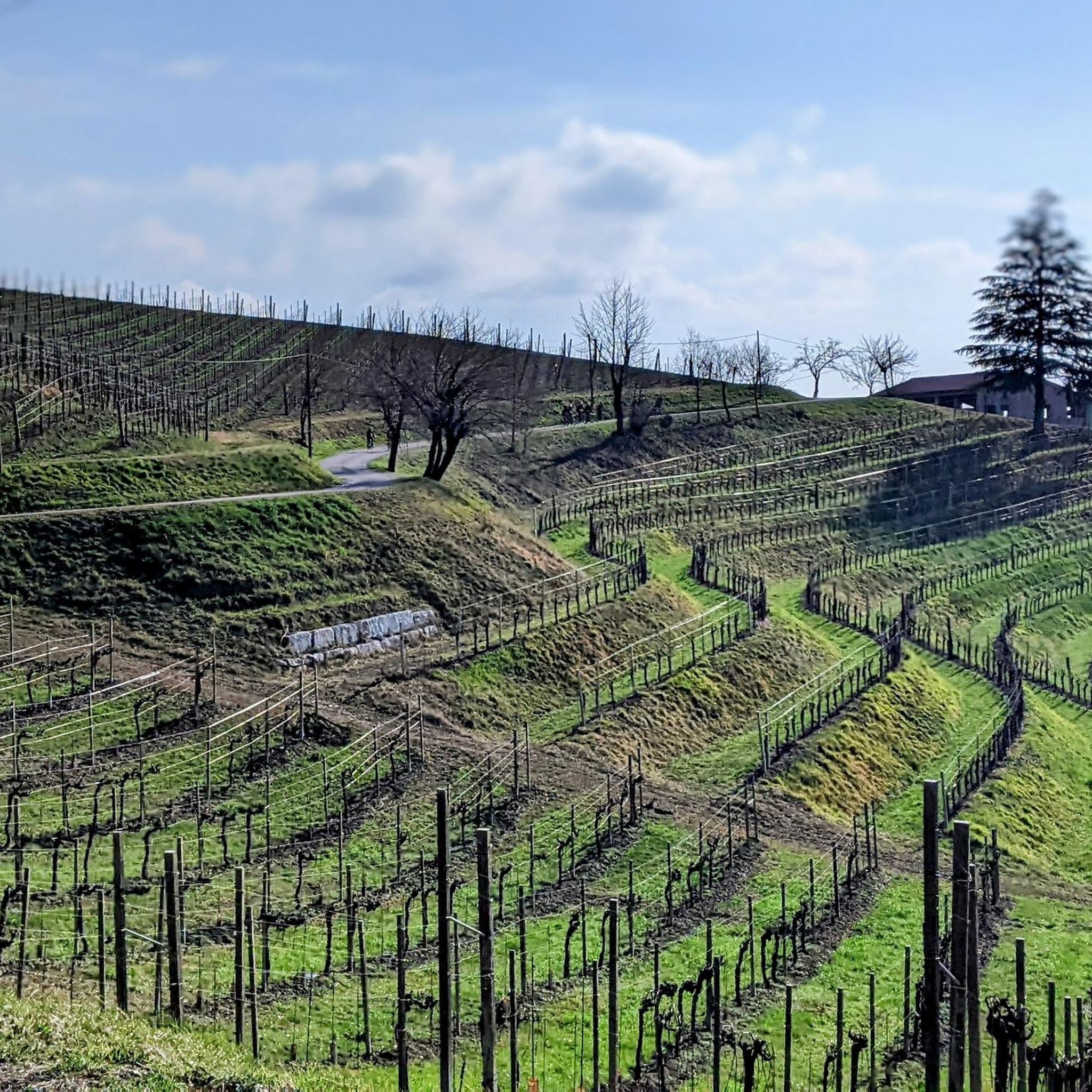
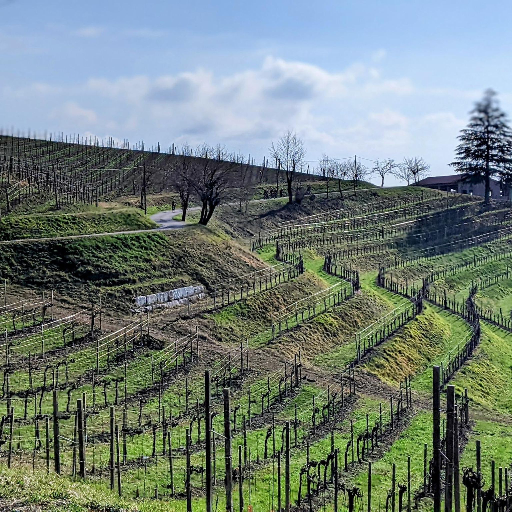
Tips from the Community

A bit hidden, but worth searching for ☺️
0
0

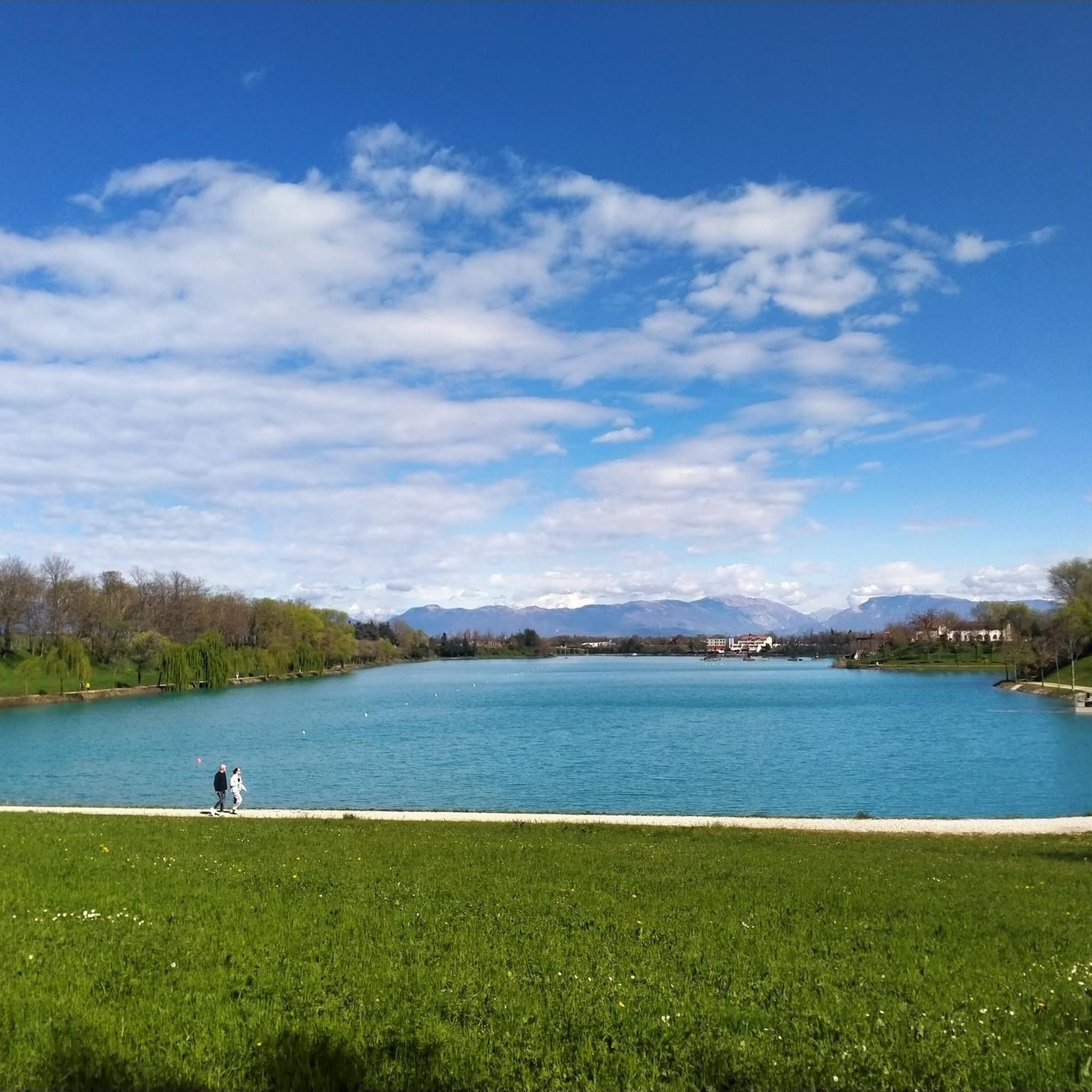
The Green Lake of Casier is a charming natural oasis located in Dosson, fortunately born from the environmental recovery of a former clay quarry. This body of water, surrounded by dense riparian vegetation, has become over time a true refuge for local biodiversity and a beloved destination for those seeking a peaceful corner just a stone's throw from Treviso. Today, the area is mainly managed for sport fishing and is frequented by families and walkers who take advantage of the shaded paths along its banks to relax or engage in outdoor activities. Together with the nearby stretch of the Sile Park, the Green Lake represents a fundamental green lung for the municipal territory, demonstrating how nature can splendidly reclaim spaces once linked to industrial activity.
5
0

Excellent place to relax between the bends of the Sile river.
13
0
L'Isola della Pescheria is the beating, scenic heart of Treviso, a small artificial islet lapped by the waters of the Cagnan Grando. Created in the mid-19th century to move the fish market from the monumental center, it today represents one of the most authentic corners of the city. In the morning, the island comes alive with the historic market, a ritual that blends the scents of the sea with the chatter of vendors under the arcades. Beyond the commercial aspect, the place enchants with its architectural beauty: it is surrounded by frescoed palaces and weeping willows that are reflected in the canal, creating an atmosphere reminiscent of nearby Venice. Walking on the wrought-iron bridges or admiring the ancient mill wheels still present nearby, one can feel Treviso's ancient bond with water. It is the ideal place for an evening aperitif, enjoying the tranquility that envelops the canals.
1
0
Dominating Piazza dei Signori, the Torre Civica represents the symbol of municipal authority and the highest point of Treviso's urban profile. Its construction dates back to the 13th century, parallel to the building of the Palazzo dei Trecento, but its current appearance is the result of important restoration work carried out between the late 19th and early 20th centuries. Characterized by a massive brick structure, the tower is crowned with Ghibelline battlements and houses a bell tower that still marks the solemn moments of city life today. A large clock stands out on the facade, while at the base is the shrine dedicated to the fallen. With its 48 meters in height, it towers over the Palazzo del Podestà, testifying to centuries of Treviso's history, from medieval struggles to post-war reconstruction.
0
0
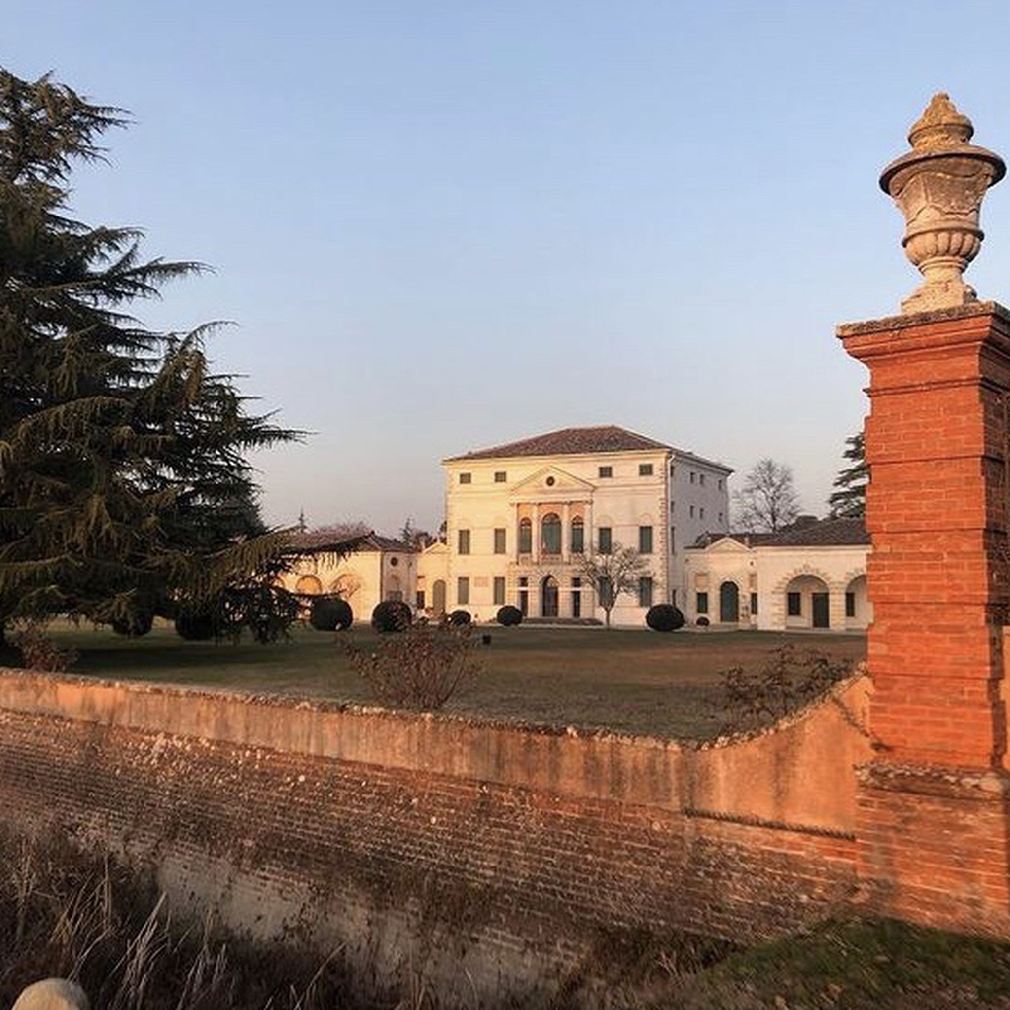
Villa Carlotta in Casier is one of the most striking residences overlooking the Sile river, located along the famous "Ramo Morto". Built in the 17th century by the Brolo-Lanza family, the villa testifies to the elegance of the Venetian nobility who chose the Treviso hinterland for their holidays. It became particularly famous at the end of the 19th century thanks to Countess Annina Morosini, who made it a center of social and cultural life. During World War II, the building played a crucial role by hosting the civil hospital of Treviso. Today the villa is a private property admired mainly from the outside along the Restera, offering an iconic view between the tranquil waters of the river and the lush vegetation of the Sile Park.
1
0
The Dante Bridge, located in Treviso at the point where the Sile receives the waters of the Cagnan, is one of the most famous and symbolic places in the city. Originally called Ponte dell'Impossibile (Bridge of the Impossible) due to construction difficulties related to the current, it owes its current name to Dante Alighieri's quote in the 9th canto of Paradiso: «dove Sile e Cagnan s'accompagna» (where Sile and Cagnan accompany each other). To celebrate the sixth centenary of the supreme poet's birth, a commemorative stele was erected next to the bridge in 1865. The area, known as "Riviera Santa Margherita", offers one of the most picturesque views of Treviso, characterized by the evocative meeting of the two rivers that defines the hydrographic and poetic identity of the historic center. Even today, it represents a fundamental stop for anyone wishing to discover the inseparable link between literature and the Treviso landscape.
0
0
The stone bridge of Villapendola represents the natural completion of the ring path that crosses the islet of the same name. This masonry structure retains a rustic and historical charm, integrating perfectly with the surrounding river landscape. Located at the eastern end of the island, the bridge spans the secondary canal, allowing visitors to rejoin the Alzaia path and the main flow of the Restera. It is a privileged observation point for admiring the riparian flora and wildlife, such as turtles and aquatic birds, that inhabit the calm waters of the dead branch of the Sile. This passage transforms a simple walk into an immersive experience, suspended between the tranquility of the island and the liveliness of the most beloved cycle-pedestrian path by the people of Treviso. Hand-cranked.
1
0
Frequently Asked Questions
What are the general characteristics of hiking trails in Carbonera?
Hiking trails around Carbonera are typically characterized by flat terrain, often following riverbanks and paths through local parks. Routes like the one around Lago delle Bandie or within Parco dello Storga feature minimal elevation changes, making them ideal for leisurely walks and exploring the local natural environment.
How many hiking routes are available in Carbonera?
There are over 260 hiking routes available in Carbonera, offering a wide range of options for different preferences. The majority of these, about 160, are classified as easy, with a good selection of moderate trails and a few more challenging options.
Are there easy and family-friendly hiking options in Carbonera?
Yes, Carbonera is very well-suited for easy and family-friendly hikes. With over 160 easy routes, many of which are flat paths through parks or along rivers, they are perfect for all ages and fitness levels. Trails like the Lago delle Bandie loop are popular choices for a relaxed outing.
Are there circular hiking routes around Carbonera?
Many of the hiking routes in Carbonera are designed as circular paths, allowing you to start and end at the same point. Examples include the Parco dello Storga loop from Carbonera and the Park with a River View loop from Silea, which are convenient for exploring the area without retracing your steps.
What kind of nature and wildlife can I expect to see on Carbonera hikes?
When hiking in Carbonera, you can expect to encounter serene natural settings, particularly along riverbanks and within local parks like Parco dello Storga. The area's flat terrain and green spaces provide opportunities to observe local flora and perhaps some common bird species and small wildlife typical of a temperate, park-like environment.
What do other hikers enjoy most about hiking in Carbonera?
The komoot community highly rates hiking in Carbonera, with an average score of 4.4 stars from over 600 reviews. Hikers often praise the area for its accessible, flat paths, the tranquility of the park trails, and the pleasant views along river routes, making it ideal for relaxed walks.
Are there any challenging trails for experienced hikers in Carbonera?
While Carbonera is primarily known for its easy and moderate trails, there are a few more challenging options available for experienced hikers. There are 5 routes classified as difficult, offering a bit more intensity for those seeking a greater physical challenge within the region's generally flat landscape.
What interesting places can I explore near the hiking trails?
Near Carbonera's hiking trails, you can explore several interesting attractions. These include historical sites like the Burci Boat Cemetery and various castles such as the Tower of the Castello dei Carraresi in Casale sul Sile or Castello Romano. Many trails also run alongside the Sile River, offering scenic views and connecting to cycle paths like Along the Sile.
How long do hikes near Carbonera typically take?
The duration of hikes in Carbonera varies, but many popular routes are designed for shorter outings. For example, the Lago delle Bandie loop takes approximately 1 hour 55 minutes, while the Parco dello Storga loop from Fontane Chiesa Vecchia can be completed in about 1 hour 30 minutes. Most easy trails are suitable for a half-day or shorter excursion.
What gear do I need for hiking in Carbonera?
Given the generally flat terrain and well-maintained paths in Carbonera, standard comfortable walking shoes or light hiking boots are usually sufficient. Depending on the weather, layers of clothing, a water bottle, and sun protection are advisable. For park and river walks, specialized gear is typically not required.
Can I bring my dog on hikes in Carbonera?
Many of the trails in Carbonera, especially those through local parks and along riverbanks, are generally dog-friendly. However, it's always recommended to keep your dog on a leash and to check for any specific local regulations or signage within particular parks or protected areas to ensure a pleasant experience for everyone.
Most popular routes around Carbonera
Most popular attractions around Carbonera

Get inspired with the komoot mobile app


Explore more
Browse the best Hikes in other regions.
