The best walks and hikes around Salgareda
4.4
(270)
2,139
hikers
236
hikes
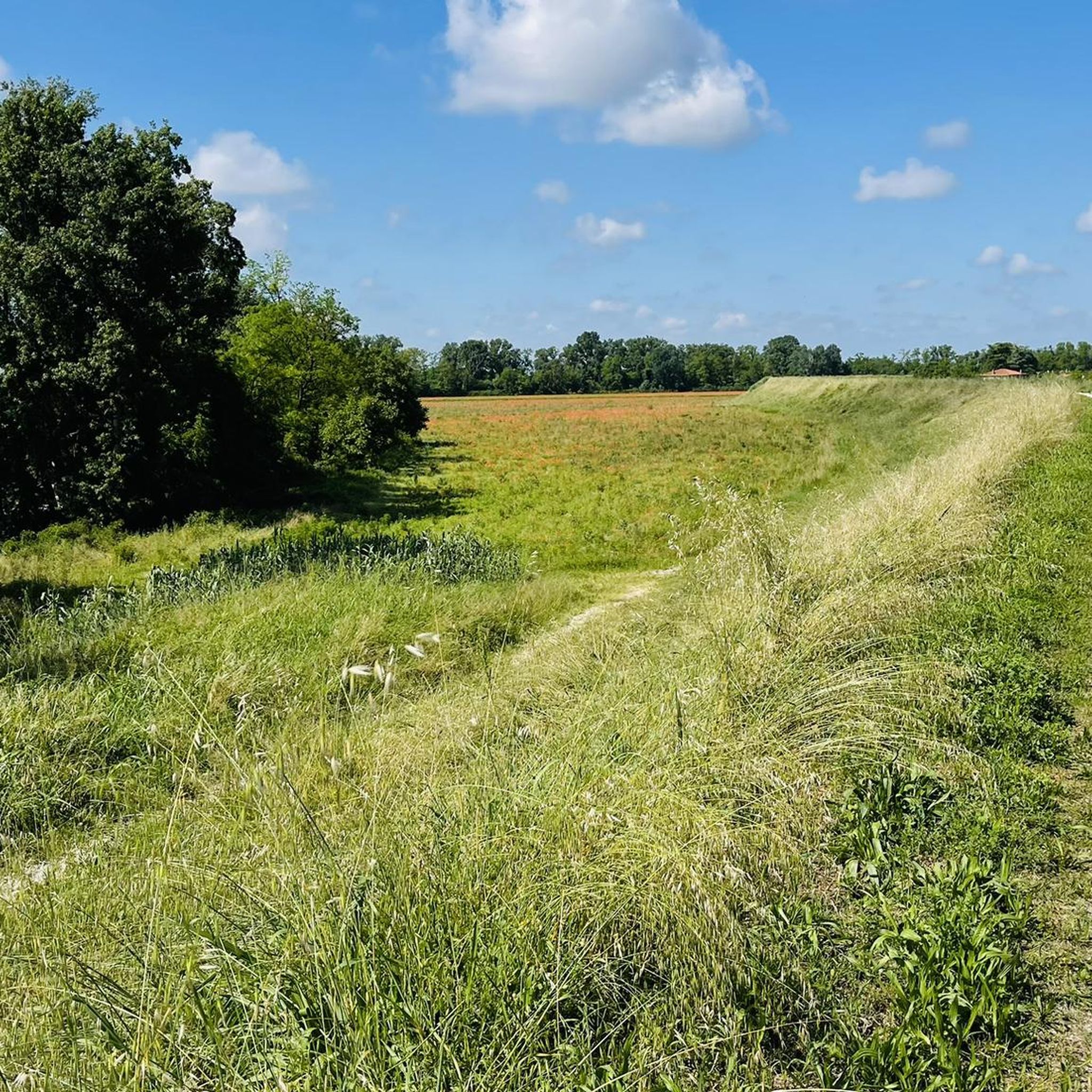
Hiking around Salgareda, Italy, offers routes primarily centered around the Piave River, a significant natural feature of the region. The terrain is characterized by former river courses, shaded forests, and varied surfaces including sand and gravel. Elevation changes are generally minimal, making many trails accessible. Hikers can explore paths that traverse woodlands and offer occasional views of the historic riverbed.
Best hiking trails around Salgareda
- The most popular hiking route is Piave River at Noventa – Trail Along the Piave…
Last updated: October 8, 2026
4.5
(2)
6
hikers
11.0km
02:47
20m
20m
Moderate hike. Good fitness required. Easily-accessible paths. Suitable for all skill levels.
4.0
(2)
9
hikers
7.31km
01:51
10m
10m
Easy hike. Great for any fitness level. Easily-accessible paths. Suitable for all skill levels.

4.0
(2)
7
hikers
12.2km
03:05
20m
20m
Moderate hike. Good fitness required. Easily-accessible paths. Suitable for all skill levels.
10
hikers
8.76km
02:13
10m
10m
Moderate hike. Good fitness required. Easily-accessible paths. Suitable for all skill levels.
8
hikers
8.19km
02:04
10m
10m
Moderate hike. Good fitness required. Easily-accessible paths. Suitable for all skill levels.
Get access to more routes and recommendations from other explorers.
Already have an account?
Our route recommendations are based on thousands of hikes, rides, and runs completed by other people on komoot.
Start today with a free account
Your next adventure awaits.

Tips from the Community

Seat of the municipality of Ponte di Piave.
25
0
Seat of the municipality of Ponte di Piave, a very important structure.
24
0
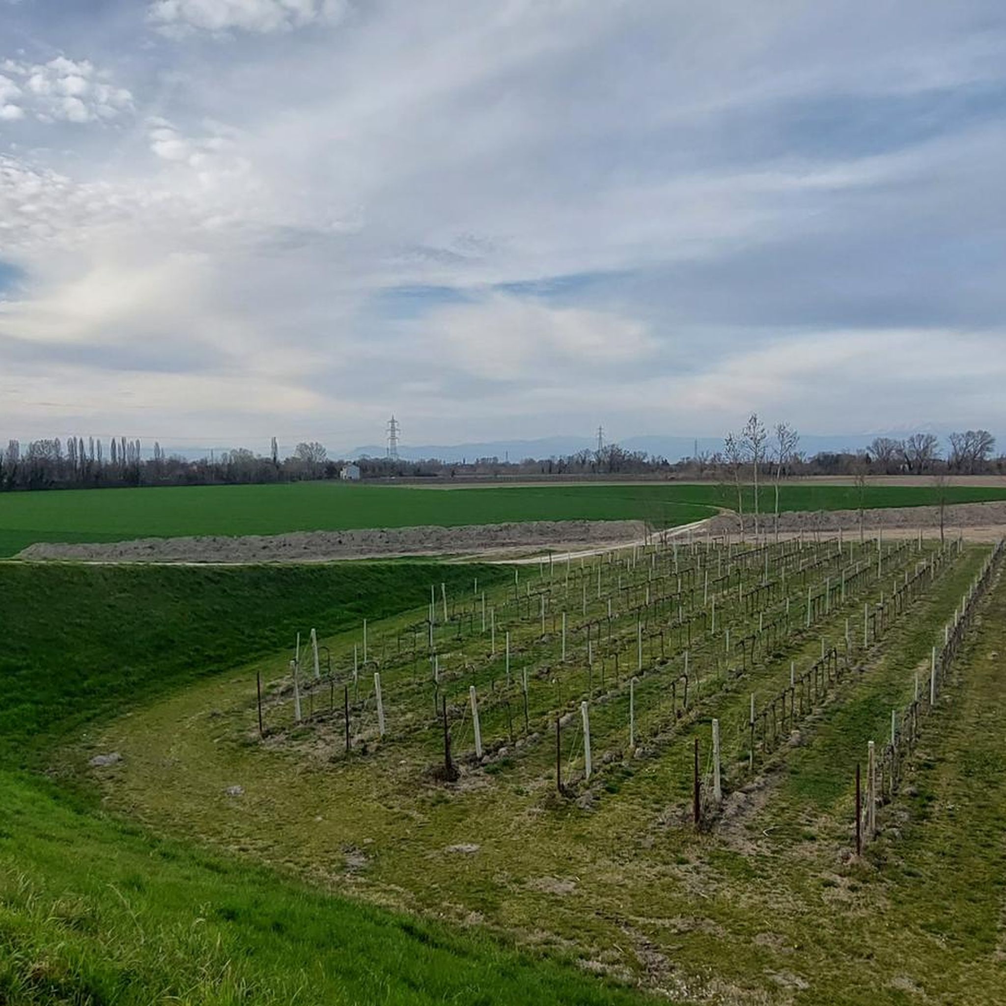
View of beautiful vineyards near the Piave river in Negrisia.
19
0
Beautiful and pleasant road that runs along the Piave river surrounded by vineyards and where DOC wines are produced.
22
0
Municipality of Ponte di Piave in via Roma.
28
0
The town hall of Ponte di Piave with a beautiful fountain in front of it.
32
0

now private house
0
0

The Piave is a 220 km long river in Northern Italy. https://de.wikipedia.org/wiki/Piave Numerous, sunny beaches invite you to rest and splash around on the banks and side bays.
2
0
Frequently Asked Questions
How many hiking trails are available around Salgareda?
Salgareda offers a wide selection of hiking routes, with over 170 trails available. These range from easy walks to more challenging excursions, ensuring options for various fitness levels.
What is the typical terrain like on hiking trails near Salgareda?
The terrain around Salgareda is primarily defined by the Piave River. You'll find paths winding through former river courses, shaded forests, and varied surfaces including sand and gravel. Elevation changes are generally minimal, making many trails quite accessible.
Are there hiking routes suitable for beginners in Salgareda?
Yes, Salgareda is well-suited for beginners and those looking for easier walks. Over 100 of the available routes are classified as easy, such as the Nordic Walking Park La Piave – Piave River at Noventa loop from Noventa di Piave, which is 4.0 miles (6.5 km) long and takes about 1 hour 38 minutes.
What natural features or landmarks can I expect to see while hiking near Salgareda?
The Piave River is the central natural feature, offering views of its historic riverbed. You can also explore highlights like the Piave Vecchia Cycle Path, which follows the river's ancient course, or discover natural monuments such as the Majestic Black Poplar and various river confluences.
Are there any historical sites accessible from the hiking trails?
Yes, a notable historical site is the Old River Port of Noventa di Piave, which has been transformed into a park. This site, dating back to the 10th century, provides a cultural point of interest amidst the natural surroundings and is accessible from various trails.
What do other hikers enjoy most about the trails in Salgareda?
The hiking trails around Salgareda are highly rated by the komoot community, with an average score of 4.1 stars from over 170 reviews. Hikers often praise the serene river views, the shaded forest paths, and the historical elements found along routes like The Tunnel of Noventa di Piave loop from Zenson di Piave.
Are the hiking trails around Salgareda suitable for families with children?
Many trails in Salgareda are suitable for families, especially the numerous easy and moderate routes with minimal elevation changes. The varied terrain and historical points of interest along the Piave River can make for an engaging outing for all ages.
Can I bring my dog on the hiking trails in Salgareda?
Generally, dogs are welcome on hiking trails in the Salgareda area. However, it's always recommended to keep your dog on a leash, especially in more populated areas or near wildlife, and to respect local signage regarding pet regulations.
Are there circular hiking routes available in Salgareda?
Yes, many of the hiking routes in Salgareda are circular, allowing you to start and end at the same point. An example is the popular Piave River at Noventa – Trail Along the Piave loop from Noventa di Piave, a 5.1 miles (8.2 km) trail that follows the river.
Where can I find parking for hiking trails in Salgareda?
Parking is generally available near trailheads, particularly in towns like Noventa di Piave or Zenson di Piave, which serve as common starting points for many routes along the Piave River. Specific parking information can often be found on individual route pages.
Is it possible to access hiking trails in Salgareda using public transport?
While Salgareda itself is a smaller town, nearby larger centers like Noventa di Piave may offer better public transport connections. From these points, you can often access trails along the Piave River. It's advisable to check local bus schedules for specific access points.
What is the best time of year to go hiking in Salgareda?
The spring and autumn months are generally ideal for hiking in Salgareda. The weather is milder, and the natural scenery along the Piave River is particularly beautiful. Summer can be pleasant, but it's best to start early to avoid the midday heat.
Are there any challenging hikes in the Salgareda area?
While many routes are easy to moderate, there are a few more challenging options for experienced hikers. For instance, the Piave Embankment – Pontoon Bridge of Barche loop from Zenson di Piave is a difficult 25.7 km (16 miles) route, offering a longer and more demanding experience.
Most popular routes around Salgareda
Most popular attractions around Salgareda

Get inspired with the komoot mobile app


Explore more
Browse the best Hikes in other regions.
