The best walks and hikes around Musile Di Piave
4.0
(278)
2,408
hikers
36
hikes
Hiking trails around Musile Di Piave are primarily characterized by the flat terrain of the Venetian plain, with routes often following the Piave River and its tributaries. The region offers a blend of natural landscapes and historical context, providing accessible paths for various activity levels. Elevations are minimal, making the area suitable for leisurely walks and longer excursions along waterways. The proximity to the Adriatic coast also influences some trails, offering views of lagoons and riverine environments.
Best hiking trails…
Last updated: August 28, 2026
4.2
(6)
38
hikers
11.6km
02:55
0m
0m
Moderate hike. Good fitness required. Easily-accessible paths. Suitable for all skill levels.
4.0
(9)
37
hikers
Easy hike. Great for any fitness level. Easily-accessible paths. Suitable for all skill levels.

Sign up for free
5.0
(1)
20
hikers
Easy hike. Great for any fitness level. Easily-accessible paths. Suitable for all skill levels.
3.6
(5)
31
hikers
Moderate hike. Good fitness required. Easily-accessible paths. Suitable for all skill levels.
4.3
(3)
14
hikers
Easy hike. Great for any fitness level. Easily-accessible paths. Suitable for all skill levels.
Get access to more routes and recommendations from other explorers.
Sign up for free
Already have an account?
Our route recommendations are based on thousands of hikes, rides, and runs completed by other people on komoot.
Start today with a free account
Your next adventure awaits.
Login or Signup
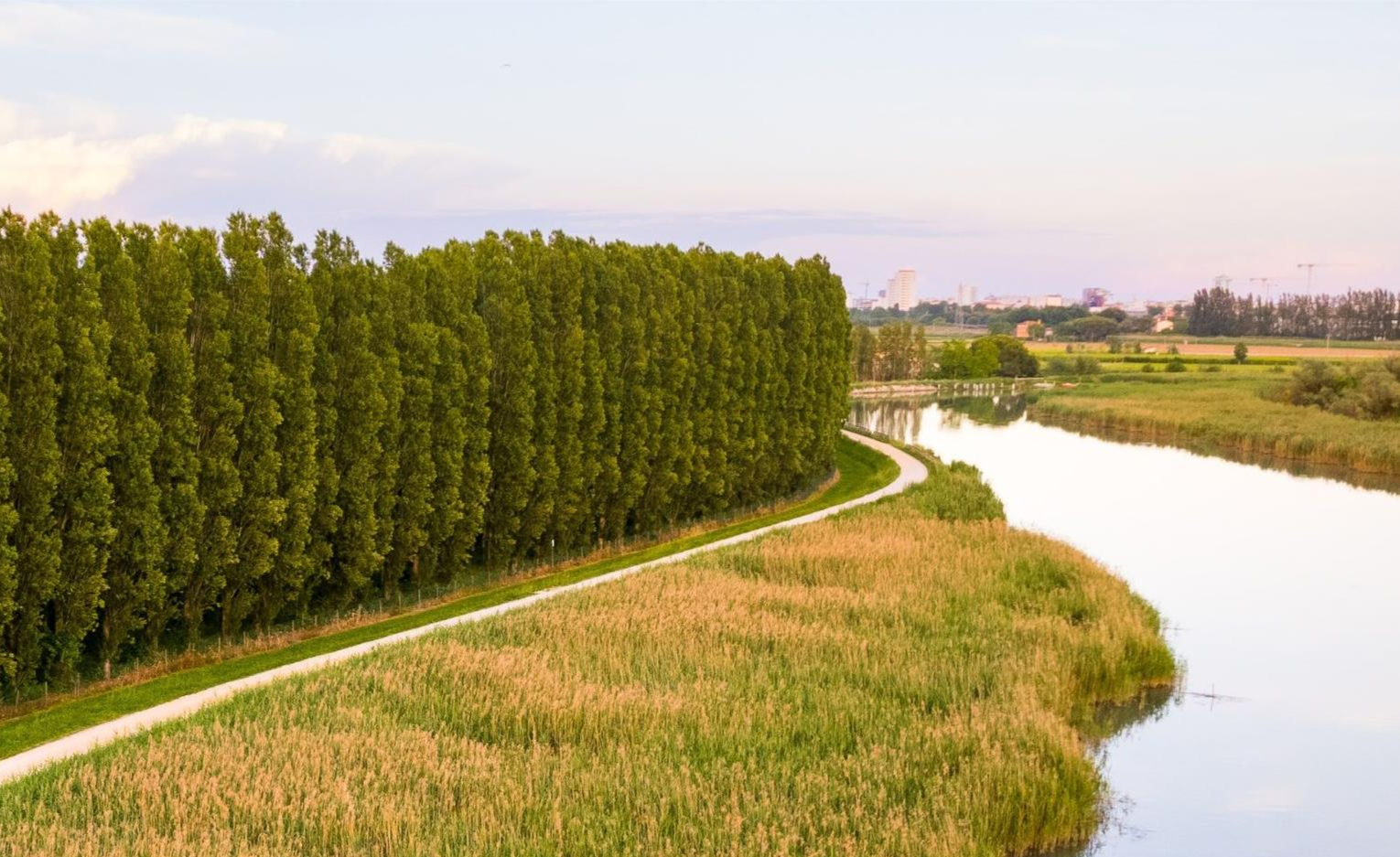
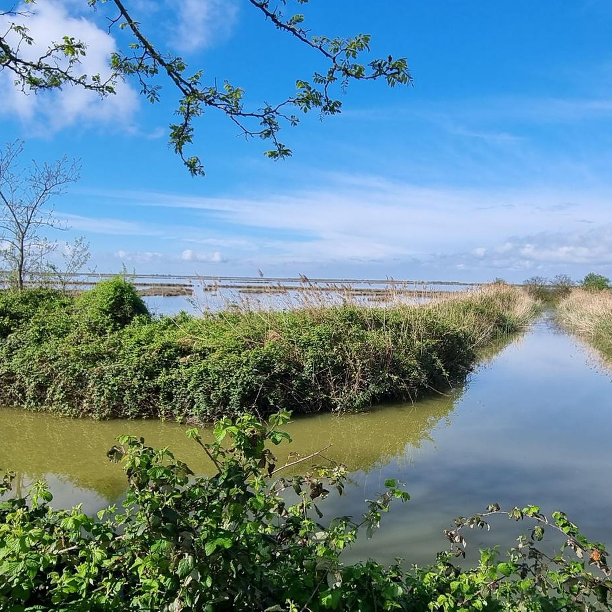

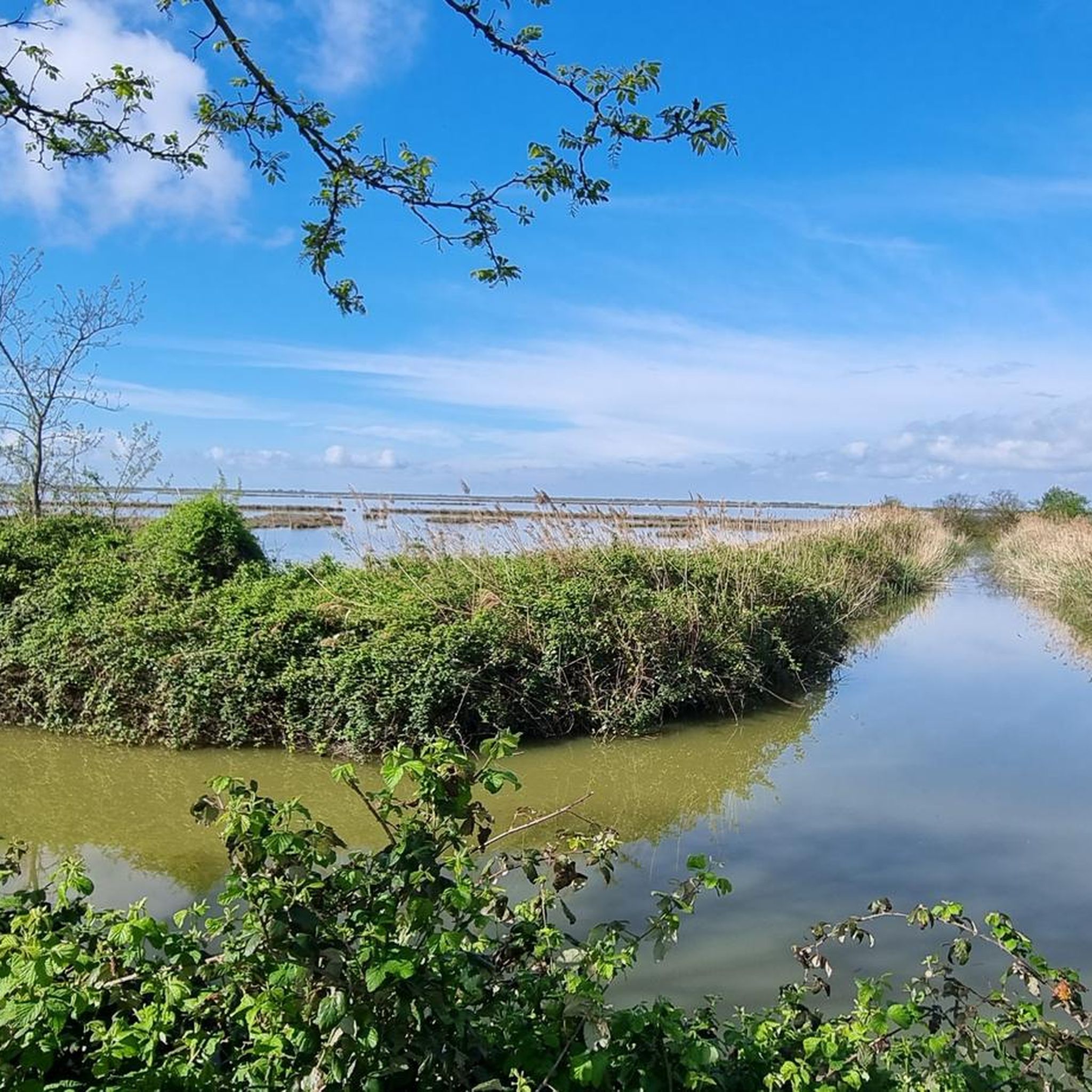
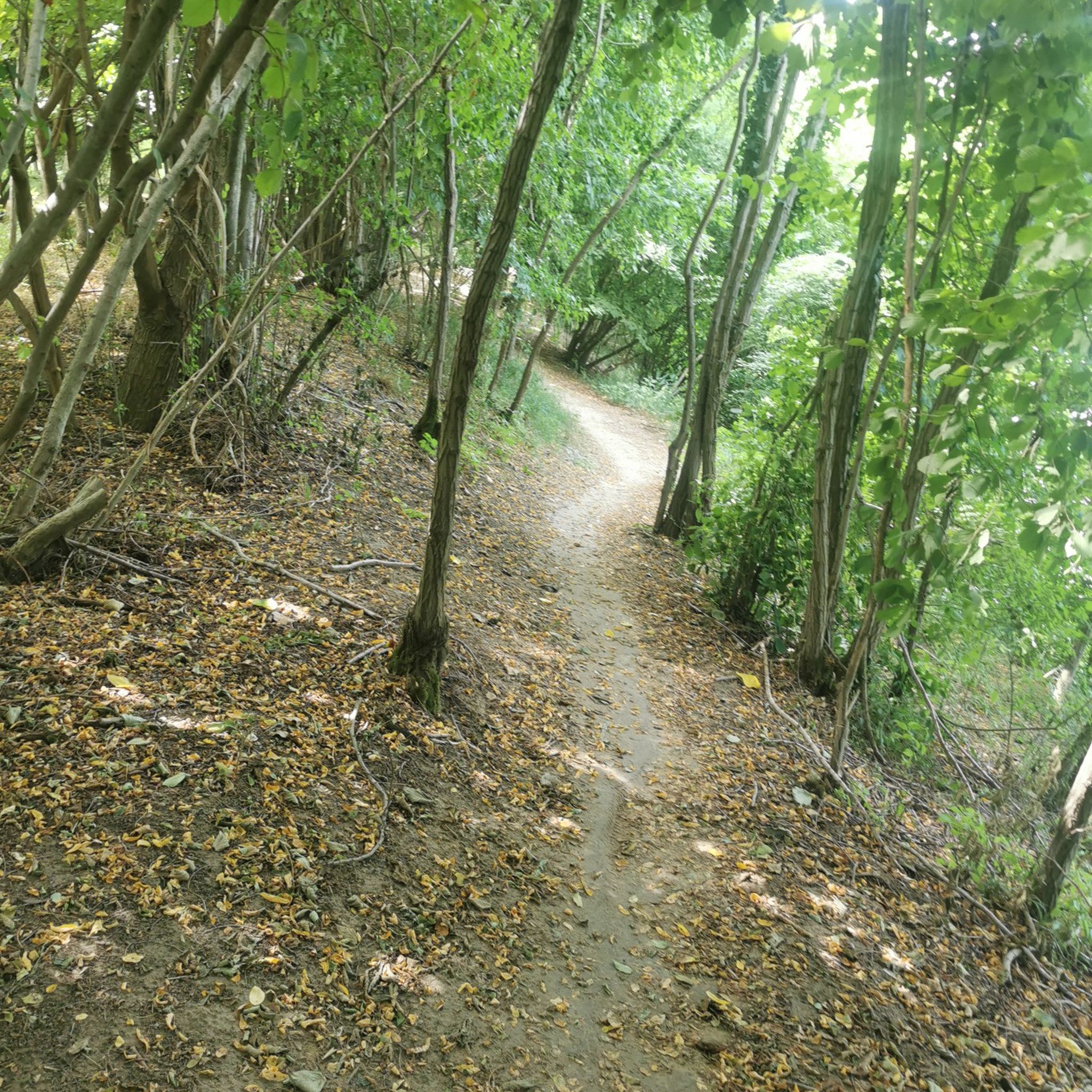
Other adventures around Musile Di Piave

Tips from the Community

A beautiful view of the Piave River from the Ponte della Vittoria.
1
0

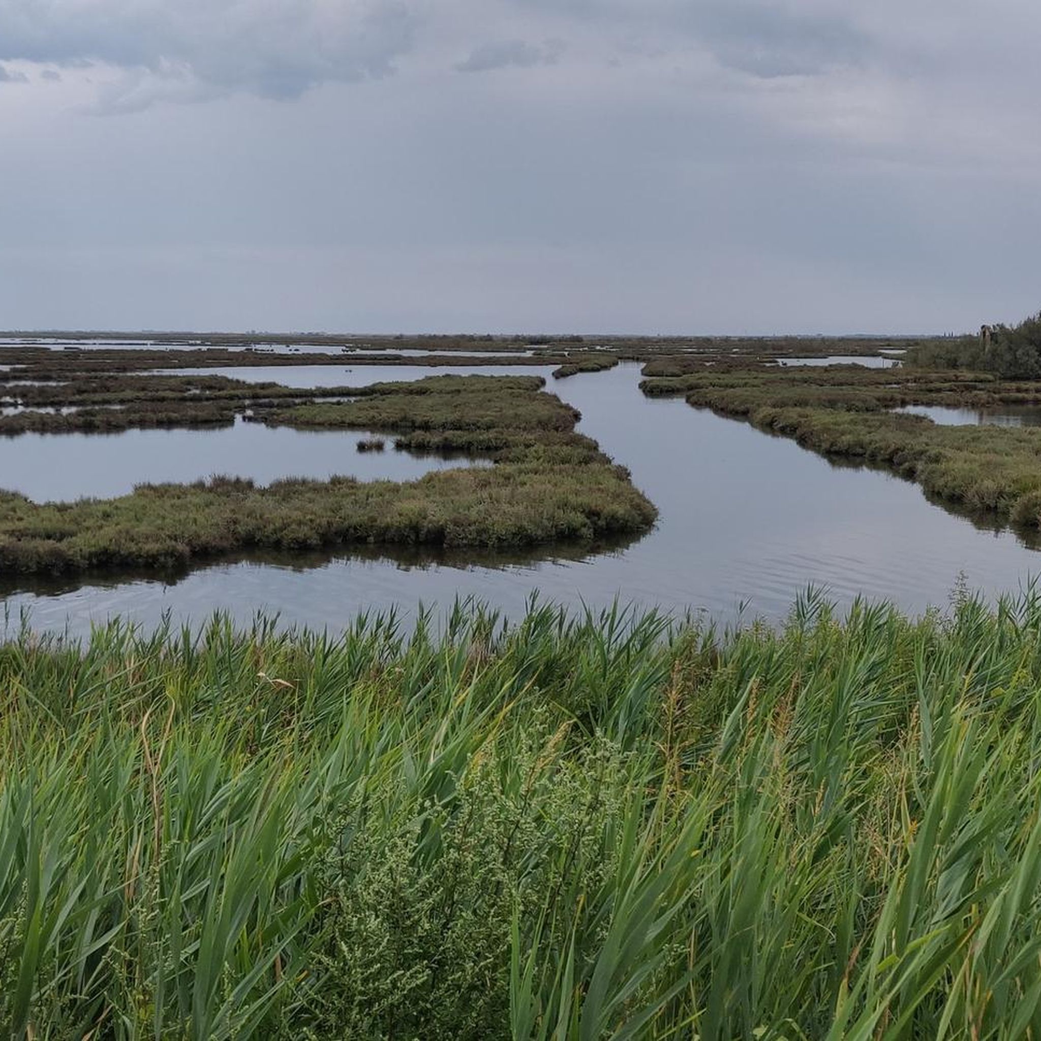
The entire Portegrandi Caposile cycle path is a magical mirror when there's no wind. You can admire flamingos, swans, herons, waders and ducks galore.
0
0

Great view of the lagoon and great photos.
3
1
The sky reflected in the Venice lagoon along the stretch connecting Portegrandi with Caposile.
15
0

A straight dirt road with a compact surface that runs alongside the beautiful Venice lagoon between Portegrandi and Caposile.
22
0
A beautiful view of the Venice lagoon from the dirt road connecting Portegrandi and Caposile.
22
0
The Taglio del Sile embankment allows you to reach the town of Caposile from Portegrandi, skirting the beautiful Venice lagoon.
18
0
Frequently Asked Questions
What kind of terrain can I expect on hikes near Musile Di Piave?
Hiking trails around Musile Di Piave are primarily characterized by the flat terrain of the Venetian plain. You can expect routes that often follow the Piave River and its tributaries, offering a blend of natural landscapes and historical context. Elevations are minimal, making the area suitable for leisurely walks and longer excursions along waterways. Some trails also offer views of lagoons and riverine environments.
How many hiking trails are available around Musile Di Piave?
There are over 30 hiking trails available around Musile Di Piave. The network offers options for different ability levels, with 17 easy and 17 moderate routes, ensuring there's something for everyone.
Are there any circular hiking routes in the area?
Yes, many routes around Musile Di Piave are designed as loops. For example, you can explore the Ponte della Vittoria – Piave River loop from Fossalta di Piave, which offers a scenic 10.3 km hike.
Are the hiking trails around Musile Di Piave suitable for families?
Absolutely. Given the predominantly flat terrain and the availability of 17 easy routes, many trails are well-suited for families. These paths often follow rivers or offer gentle strolls through natural settings, making them enjoyable for all ages. An easy option is the Piave Vecchia loop from Musile di Piave.
Can I bring my dog on the hiking trails?
Generally, dogs are welcome on most hiking trails in the Musile Di Piave area, provided they are kept on a leash and you clean up after them. It's always a good idea to check specific local regulations or signage at trailheads, especially in protected natural areas.
What natural attractions can I see while hiking near Musile Di Piave?
While hiking, you can discover several natural attractions. You might encounter the Sile River mouth, explore the tranquil Bosco Olmè, or spot the unique Lone Tree of Via Barbaranella. The region's focus on riverine and lagoon environments offers unique natural beauty.
Are there any historical sites or landmarks to explore along the trails?
Yes, the area blends natural beauty with historical context. You can find landmarks such as the Old River Port of Noventa di Piave. Many routes also follow historical waterways like the Piave Vecchia, offering a glimpse into the region's past.
What do other hikers say about the trails in Musile Di Piave?
The routes in Musile Di Piave are highly rated by the komoot community, with an average score of 4.0 stars from more than 250 reviews. Hikers often praise the accessible paths, the peaceful riverine environments, and the scenic views of the lagoons and the Piave River.
What is the best time of year to hike in Musile Di Piave?
The best time to hike in Musile Di Piave is typically during spring and autumn when the weather is mild and pleasant. Summer can be warm, but riverside and shaded routes still offer enjoyable experiences. Winter hikes are also possible, especially on the flat terrain, though you should be prepared for cooler temperatures.
Are there any trails with scenic viewpoints?
Yes, several trails offer picturesque views, particularly those along the Piave River and near the lagoons. For instance, the Caposile Boat Bridge – View of the Barena Lagoon loop from Caposile provides lovely vistas of the Barena Lagoon area.
How can I reach the hiking trails using public transport?
While specific public transport connections to every trailhead can vary, Musile Di Piave is generally accessible within the broader Venetian plain. It's advisable to check local bus schedules or regional train services to nearby towns like San Donà di Piave, from which some trailheads might be reachable on foot or via short local connections.
Where can I find parking near the trailheads?
Parking availability varies by trailhead. In smaller towns and villages that serve as starting points for hikes, you can often find public parking areas. It's recommended to check maps or local information for designated parking spots near your chosen route's starting point.
Most popular routes around Musile Di Piave
Most popular attractions around Musile Di Piave

Get inspired with the komoot mobile app


Explore more
Browse the best Hikes in other regions.
