The best walks and hikes around Quarto D'Altino
4.4
(296)
2,430
hikers
19
hikes
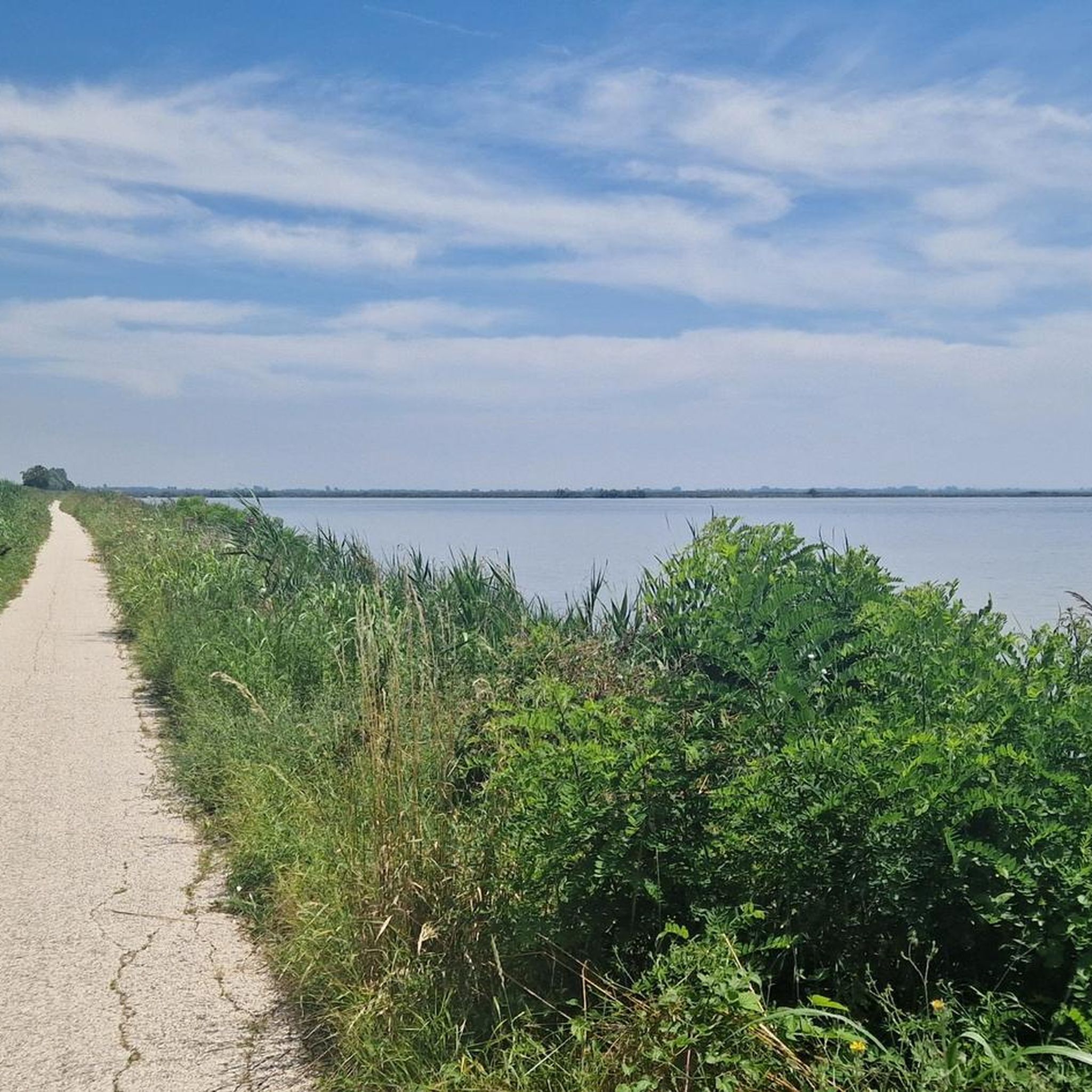
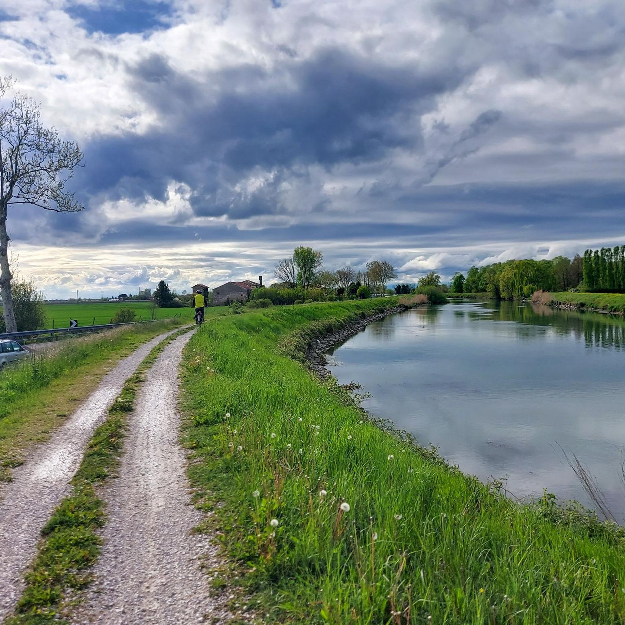
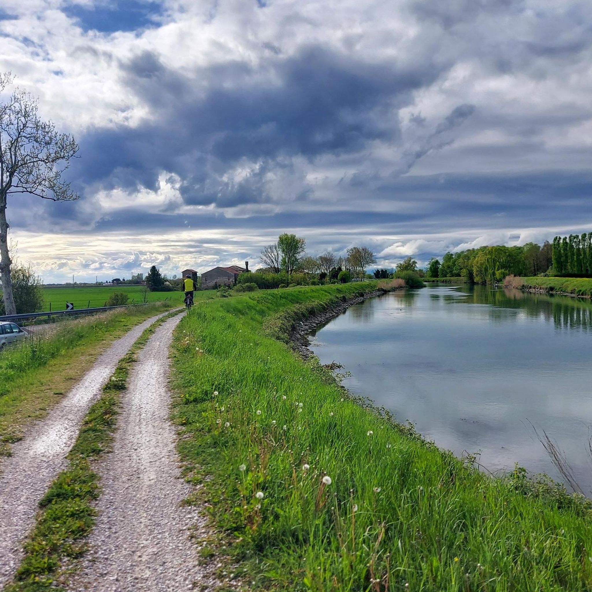
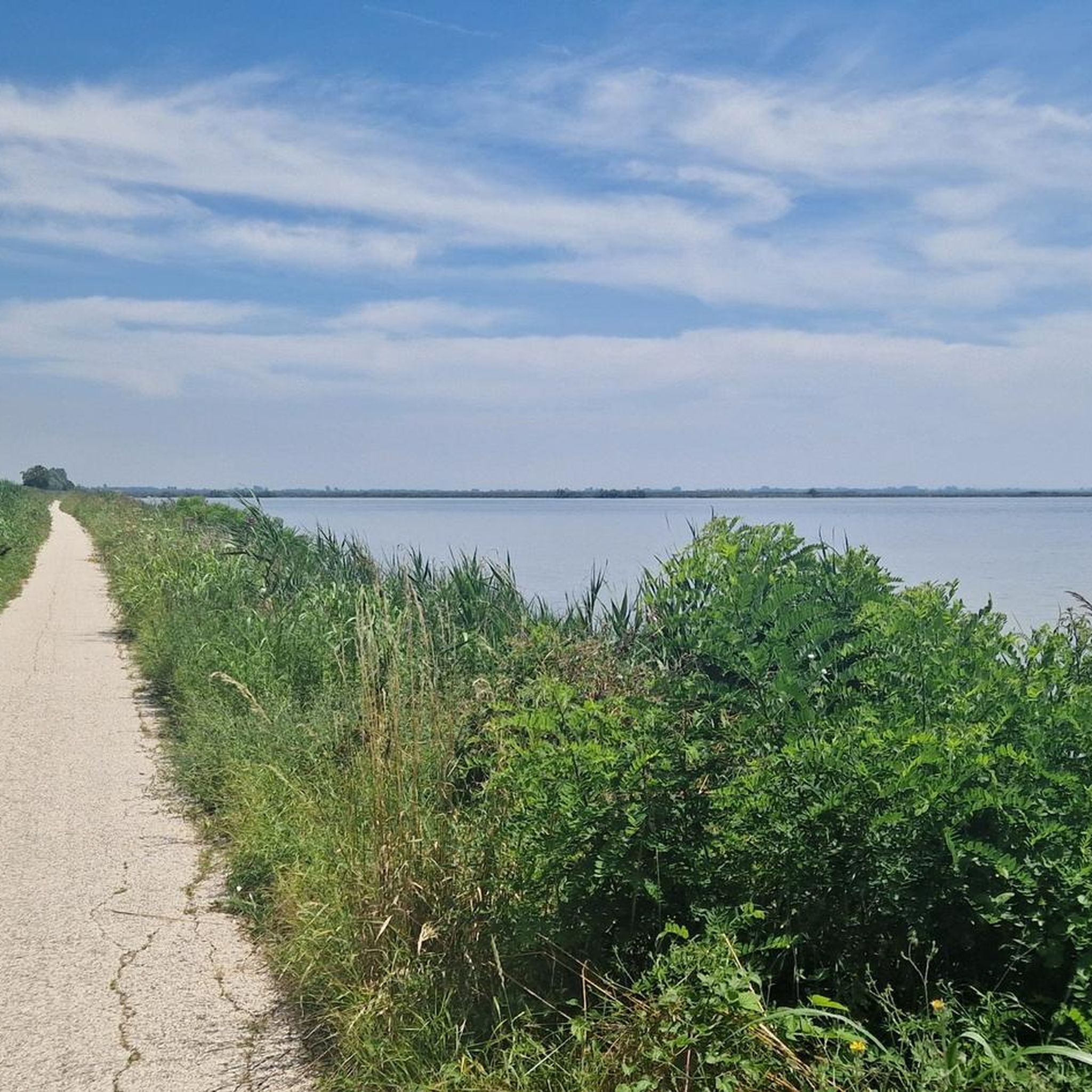
Hiking around Quarto D'Altino offers exploration within the Venetian Lagoon's natural landscape, characterized by the River Sile, one of Europe's longest spring rivers. The area features diverse ecosystems including green forests, meadows, and wetlands, with "fontanassi" springs and former quarries transformed into small lakes. Terrain is generally flat, making it accessible for various hiking abilities, and includes elevated banks known as "Restere" along the Sile. The region also encompasses the Oasis of Trepalade and the historical archaeological area of Altino.
…Last updated: May 12, 2026
4.5
(14)
69
hikers
16.5km
04:10
30m
30m
Moderate hike. Good fitness required. Easily-accessible paths. Suitable for all skill levels.
4.4
(9)
35
hikers
Moderate hike. Good fitness required. Easily-accessible paths. Suitable for all skill levels.

Sign up for free
4.7
(3)
34
hikers
Hard hike. Very good fitness required. Easily-accessible paths. Suitable for all skill levels.
4.3
(7)
20
hikers
Moderate hike. Good fitness required. Easily-accessible paths. Suitable for all skill levels.
4.5
(4)
27
hikers
19.1km
04:50
30m
30m
Moderate hike. Good fitness required. Easily-accessible paths. Suitable for all skill levels.
Get access to more routes and recommendations from other explorers.
Sign up for free
Already have an account?
Our route recommendations are based on thousands of hikes, rides, and runs completed by other people on komoot.
Start today with a free account
Your next adventure awaits.
Login or Signup

Tips from the Community

From Treviso center to Torre Cajgo on a comfortable and protected dirt cycle path (junction for Lio Maggiore) then unprotected asphalt to Jesolo
0
0
From here, at the start of the Via Claudia Augusta (which in Roman times reached Augsburg in Bavaria), the Path of Memory begins, but also the beautiful 5 Rivers tour.
0
0
Up to Torre Cajgo it is unpaved then it is asphalted and mixed with motor vehicles
0
0
Confluence of the Zero into the Dese, enhanced by the new cable-stayed bridge connecting Zuccarello to the Path of Memory, also known as the Path of the 5 Rivers.
0
0
Because it is on one of the most beautiful flat cycle paths that connects Treviso with Jesolo up to Punta Sabbioni
0
0

The Museum of Altino preserves the legacy of what was one of the richest cities of the Roman Empire, the fundamental ancestor of Venice. Located between the countryside and the lagoon, the museum's path winds through exceptional finds: finely crafted glassware, floor mosaics, and funerary stelae stand out, narrating the life of a crucial commercial port along the Via Annia. The exhibition is not limited to objects, but also extends to the external archaeological area, where the traces of the urban gates and the decumanus maximus allow one to perceive the grandeur of the ancient center. It is a place of silence and beauty, where the lagoon landscape provides a backdrop to a millennia-old story that explains how, from the ashes of this earthly power, the civilization of water could be born.
0
0

The Musestre river and its banks offer a suggestive glimpse of the Venetian countryside between the provinces of Treviso and Venice. Historically known as the "washerwomen's river", the Musestre originates in Breda di Piave and concludes its course by flowing into the Sile river precisely at the hamlet of Musestre, in the municipality of Roncade.
0
0
The Musestre kilns, located in the municipality of Roncade along the river of the same name, represent an important testimony of industrial archaeology in the Treviso area. Their presence is linked to the abundance of clay in the subsoil and the proximity of the Sile river, which allowed the transport of materials towards Venice. During the 20th century, these structures saw the introduction of Hoffmann continuous kilns, which drastically increased their production for the construction industry. Today, the "Vecia Fornase" remains a historical landmark before entering the village of Musestre, preserving its original structure as a symbol of a past when earth, water, and fire were the engine of the local economy.
0
0
Frequently Asked Questions
What is the typical terrain and difficulty level for hiking trails around Quarto D'Altino?
The terrain around Quarto D'Altino is generally flat, making it accessible for a wide range of hiking abilities. Most routes follow the River Sile along elevated banks known as "Restere," or traverse green forests, meadows, and wetlands. While many trails are easy, there are also moderate routes available. Out of 17 tours, 4 are easy and 13 are moderate, with no difficult trails.
What natural features or landmarks can I expect to see while hiking in Quarto D'Altino?
Hiking in Quarto D'Altino offers views of the River Sile, one of Europe's longest spring rivers, with its unique "fontanassi" springs. You'll also encounter former quarries transformed into small lakes, and the luxuriant vegetation of the Oasis of Trepalade. Keep an eye out for diverse birdlife, including peacocks, kingfishers, and owls, especially along the tranquil riverbanks.
Are there any historical sites or attractions near the hiking trails?
Yes, the area holds historical interest with the archaeological area of Altino, the ancient Roman city after which Quarto D'Altino is named. While not directly on every trail, its context enriches the region. You might also encounter historical structures like the Tower of the Castello dei Carraresi in Casale sul Sile or Fort Treporti, which are part of the broader historical landscape.
Is parking available near the main hiking trailheads in Quarto D'Altino?
While specific parking locations are not detailed for every trailhead, areas like Portegrandi, a common starting point for Sile River loops, generally offer parking facilities. For routes starting directly from Quarto D'Altino, local parking options are typically available within the town or near popular access points to the river paths.
What is the best time of year to go hiking in Quarto D'Altino?
The flat terrain and mild climate of the Venetian Lagoon region make Quarto D'Altino suitable for hiking for much of the year. Spring and autumn generally offer the most pleasant temperatures for exploring the riverbanks and natural areas. Summer can be warm, but the shaded paths along the Sile River provide some relief. Winter hikes are also possible, offering a different, tranquil perspective of the landscape.
Are the hiking trails in Quarto D'Altino suitable for families with children?
Yes, many of the trails in Quarto D'Altino are suitable for families. The generally flat and well-maintained paths along the River Sile, such as those in the Regional Natural Park, are ideal for easy walks. The varied natural habitats and opportunities for birdwatching can also be engaging for children.
Are there any circular hiking routes available in Quarto D'Altino?
Yes, circular routes are a popular option in the area. For example, the Conca di Portegrandi – Sile River loop from Quarto d'Altino is a moderate 19.3 km trail that offers a full circuit through the natural environment. Another option is the Conca di Portegrandi Marina – Caposile Pontoon Bridge loop from Portegrandi, which is also a circular route.
Can I bring my dog on the hiking trails in Quarto D'Altino?
Generally, dogs are welcome on many of the hiking trails in natural areas like the River Sile Park and the Oasis of Trepalade, provided they are kept on a leash and owners clean up after them. It's always advisable to check local regulations for specific protected areas or nature reserves you plan to visit.
What do other hikers enjoy the most about hiking in Quarto D'Altino?
The area is highly rated by the komoot community, with an average score of 4.4 stars from over 300 reviews. Reviewers often praise the tranquil waters of the Sile River, the flat and accessible landscapes, and the opportunity to immerse themselves in nature. The well-maintained paths and diverse ecosystems are frequently highlighted as enjoyable aspects of the hiking experience.
Are there any longer hiking routes for more experienced hikers?
While the terrain is generally flat, there are longer routes that offer a more extended experience. The View of San Michele – Porticciolo di Casale sul Sile loop from Quarto d'Altino is a moderate 16.5 km trail, and the Fiume Sile loop from Quarto d'Altino is a similar 16.5 km path, both offering several hours of hiking along the Sile River.
What kind of wildlife can be spotted along the trails?
The diverse ecosystems of the River Sile and the Oasis of Trepalade are home to various wildlife. Birdwatching is particularly rewarding, with opportunities to spot aquatic birds, peacocks, kingfishers, and owls. The tranquil green riverbanks provide an ideal setting for observing local fauna.
Most popular routes around Quarto D'Altino
Most popular attractions around Quarto D'Altino

Get inspired with the komoot mobile app


Explore more
Browse the best Hikes in other regions.
