The best walks and hikes around Ceggia
4.2
(215)
1,697
hikers
151
hikes
Hiking around Ceggia offers a network of trails primarily situated in the flat, riverine landscape of the Veneto region. The area is characterized by paths along the Piave River and its tributaries, with minimal elevation changes. This terrain provides accessible walking opportunities through agricultural areas and riverside environments. The routes are generally well-suited for leisurely exploration of the local natural and cultural features.
Best hiking trails around Ceggia
- The most popular hiking route is Trail Along the Piave loop from…
Last updated: October 8, 2026
4.8
(5)
36
hikers
Easy hike. Great for any fitness level. Easily-accessible paths. Suitable for all skill levels.
17
hikers
6.39km
01:36
10m
10m
Easy hike. Great for any fitness level. Easily-accessible paths. Suitable for all skill levels.

19
hikers
11.0km
02:47
20m
20m
Moderate hike. Good fitness required. Easily-accessible paths. Suitable for all skill levels.
4.7
(3)
11
hikers
7.33km
01:51
10m
10m
Easy hike. Great for any fitness level. Easily-accessible paths. Suitable for all skill levels.
7
hikers
7.59km
01:55
10m
10m
Easy hike. Great for any fitness level. Easily-accessible paths. Suitable for all skill levels.
Get access to more routes and recommendations from other explorers.
Already have an account?
Our route recommendations are based on thousands of hikes, rides, and runs completed by other people on komoot.
Start today with a free account
Your next adventure awaits.


Tips from the Community

Villa Zeno, the central body of the villa is present in the four books of Andrea Palladio's architecture, while the side barchesse seem to be from a different era. The villa is divided into 3 levels and features a central hall on the first and second floors with rooms arranged on the side wings, as designed in Palladio's books to whom the design is attributed.
0
0
The sanctuary was built in 1577, but the first construction dates back to 1525, as expressly stated in the will of Antonio Condulmer, who left his heirs the obligation to build a chapel and a convent for the Dominican Friars. In 1692 the church was destroyed due to the flood of the Livenza river. Miraculously, the altar dedicated to the Virgin was saved. In 1904 the sacred building was rebuilt to a design by architect Max Ongaro, assuming its current appearance.
0
0
Corbolone in night attire from the gravel section towards San Stino di Livenza.
0
0

Shortly after 1554, Marco Zeno, having obtained ownership of the Cessalto estate, commissioned Andrea Palladio to build his new residence in the Treviso area. This gave rise to Villa Zeno, one of the lesser-known Palladian villas, which is now considered a "World Heritage Site".
1
0
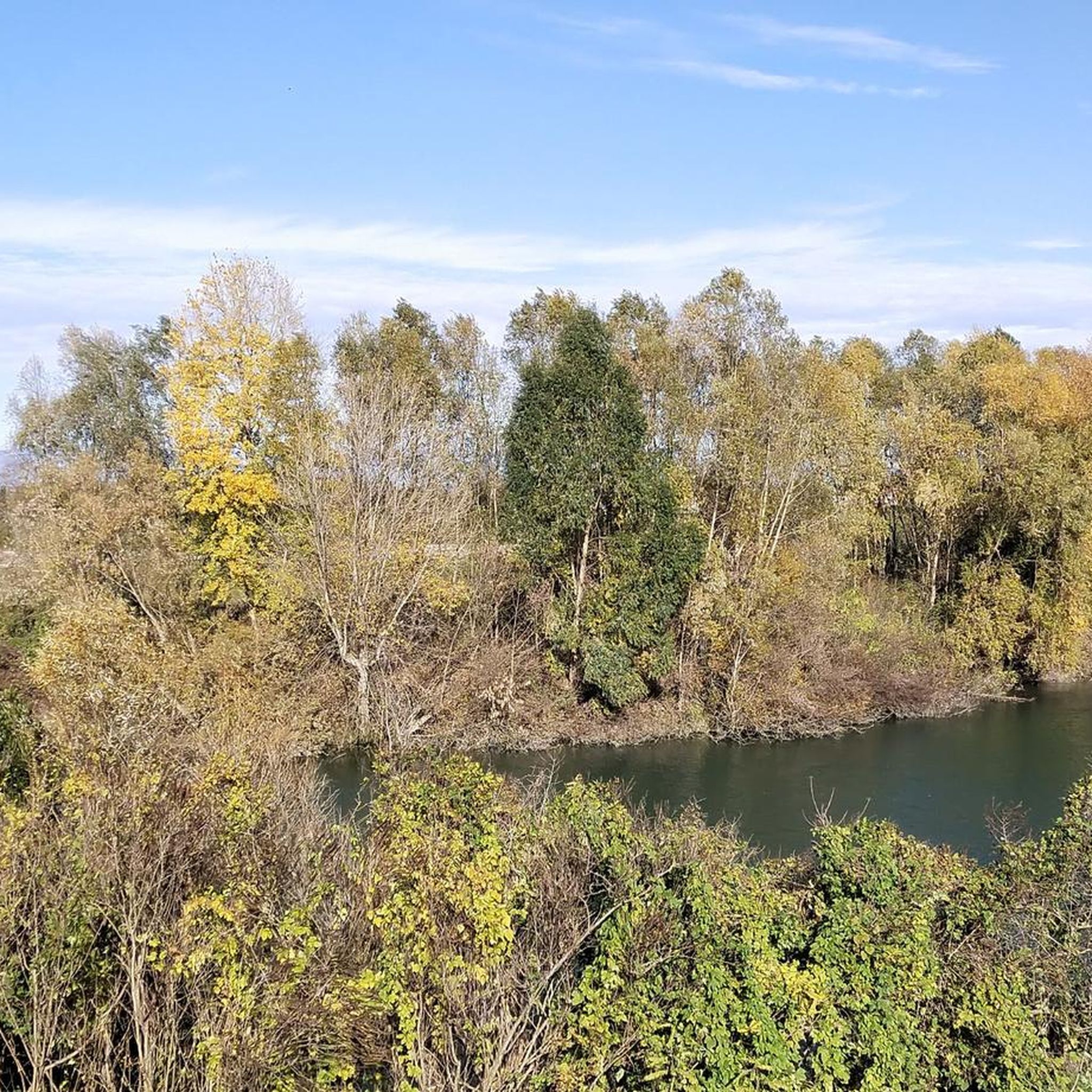
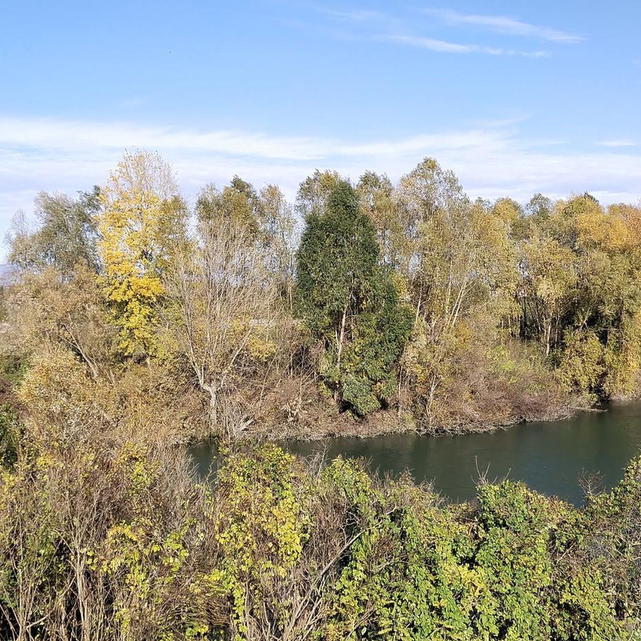
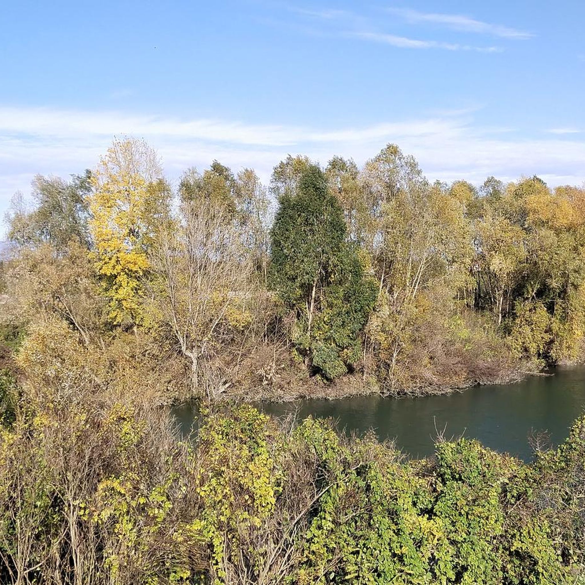
Beautiful stretch of the Malgher canal near the Corbolone area.
0
0

Arched bridge over the Canaletta (Malgher) in San Stino di Lavoro Livenza.
17
0
The Church of Our Lady of the Rosary features a Romanesque-style façade, characterized by the central support of the imposing quadrangular bell tower; the base, open on three sides by round arches, serves as a porch. The brick tower, with pilasters at the corners, features a cella with three-light windows on each side and cornices with blind arches and dentils.
17
0
Beautiful dirt road that runs alongside the Malgher Canal near San Stino di Livenza.
19
0
Frequently Asked Questions
How many hiking trails are available around Ceggia?
There are over 100 hiking trails around Ceggia, offering a variety of options for different preferences and fitness levels. The area is known for its accessible paths, primarily along the Piave River and its tributaries.
Are there many easy hiking options in Ceggia?
Yes, the majority of hiking trails in Ceggia are considered easy. With 68 easy routes out of 102 total, the flat, riverine landscape makes for pleasant and undemanding walks suitable for most abilities.
What kind of terrain can I expect on hikes around Ceggia?
Hikes around Ceggia are characterized by flat, riverine landscapes. You'll primarily find paths along the Piave River and its tributaries, passing through agricultural areas with minimal elevation changes. This makes for generally easy and accessible walking.
Are there any family-friendly hiking trails near Ceggia?
Many of the flat, easy trails along the rivers are suitable for families. For example, the Trail Along the Piave loop from San Donà di Piave is a relatively short and flat route that families can enjoy together.
Can I bring my dog on the hiking trails in Ceggia?
Generally, dogs are welcome on the river paths and agricultural trails around Ceggia. However, it's always recommended to keep your dog on a leash, especially when passing through populated areas or near livestock, and to carry waste bags.
Are there any circular hiking routes in Ceggia?
Yes, many routes in Ceggia are designed as loops, allowing you to start and end in the same location. Examples include the Piave River at Noventa – Trail Along the Piave loop from Noventa di Piave and the Nordic Walking Park La Piave – Piave River at Noventa loop from Noventa di Piave.
What are some interesting sights or landmarks to see while hiking near Ceggia?
While hiking, you can explore various points of interest. The area features several bridges like the Fossalta di Piave Floating Bridge and the Victory Bridge (San Donà di Piave). You might also encounter sections of the BIM Basso Piave Cycle Path or the Piave Vecchia Cycle Path, which offer scenic views along the river.
What is the best time of year to go hiking in Ceggia?
The flat, riverine landscape of Ceggia is enjoyable for hiking during most seasons. Spring and autumn offer pleasant temperatures and vibrant scenery. Summer can be warm, but riverside paths often provide some shade. Winter hikes are also possible, though paths might be damp.
Where can I find parking for hiking trails in Ceggia?
Parking is generally available in the towns and villages that serve as starting points for the trails, such as San Donà di Piave or Noventa di Piave. Look for designated public parking areas near the riverbanks or town centers.
What do other hikers say about the trails in Ceggia?
The trails around Ceggia are highly rated by the komoot community, with an average score of 4.0 stars from over 140 reviews. Hikers often praise the peaceful river scenery, the ease of the paths, and the opportunity for relaxed exploration of the local countryside.
Are there any less crowded hiking trails around Ceggia?
While popular routes like the main Piave River loops can see more activity, exploring some of the smaller, less-known paths through agricultural areas or visiting during off-peak hours (early mornings or weekdays) can offer a more tranquil experience. The region has many interconnected trails, allowing for varied exploration.
What should I wear for hiking in the Ceggia area?
Given the flat terrain and riverine environment, comfortable walking shoes or light hiking boots are usually sufficient. Dress in layers to adapt to changing weather, and consider bringing a hat and sunscreen during warmer months, as some paths may be exposed. A waterproof jacket is advisable for unexpected rain.
Are there any cafes or refreshment stops along the hiking routes?
Many of the hiking routes pass through or near small towns and villages along the Piave River, such as San Donà di Piave and Noventa di Piave. These locations typically offer cafes, restaurants, and shops where you can find refreshments and take a break.
Most popular attractions around Ceggia

Get inspired with the komoot mobile app


Explore more
Browse the best Hikes in other regions.
