The best walks and hikes around San Giorgio In Bosco
4.2
(337)
3,481
hikers
185
hikes
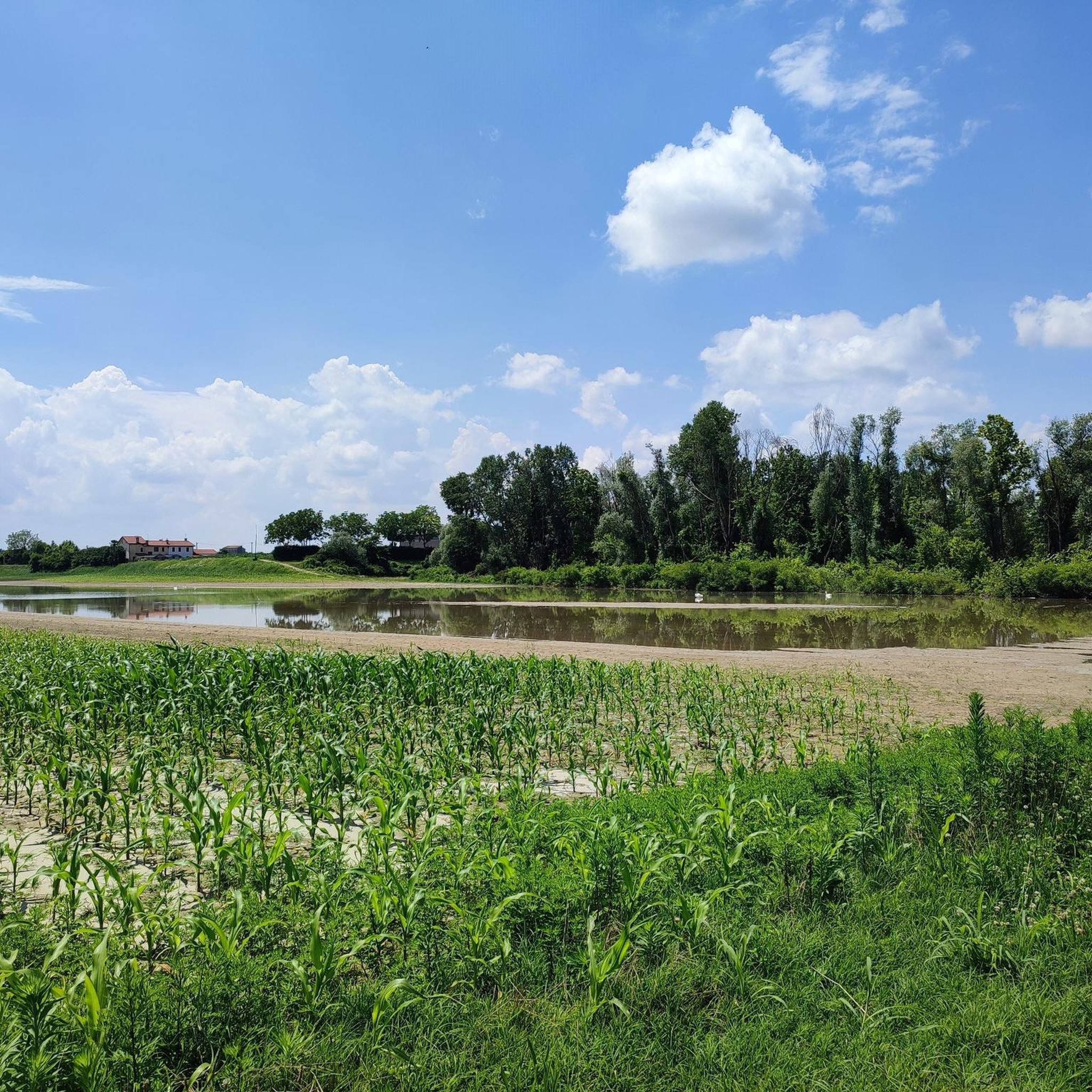
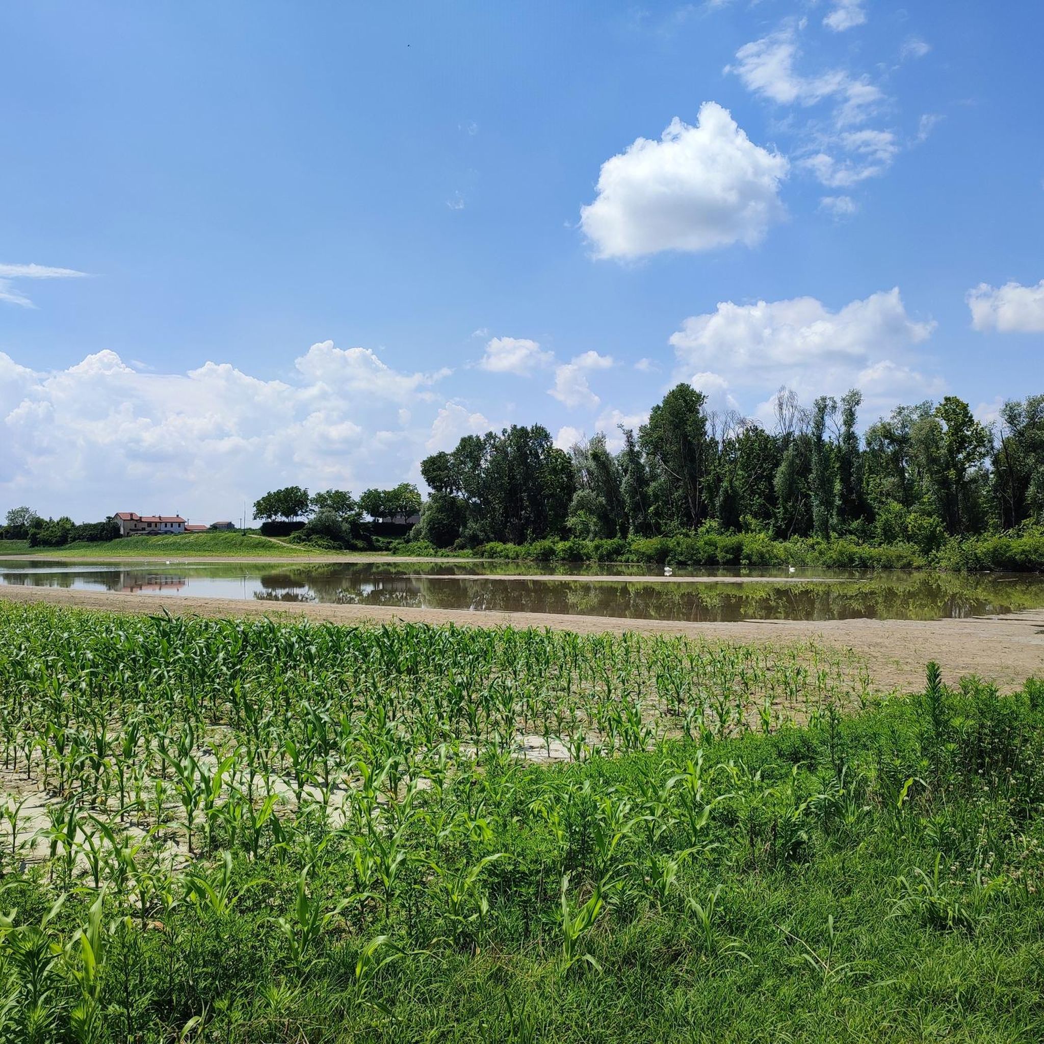
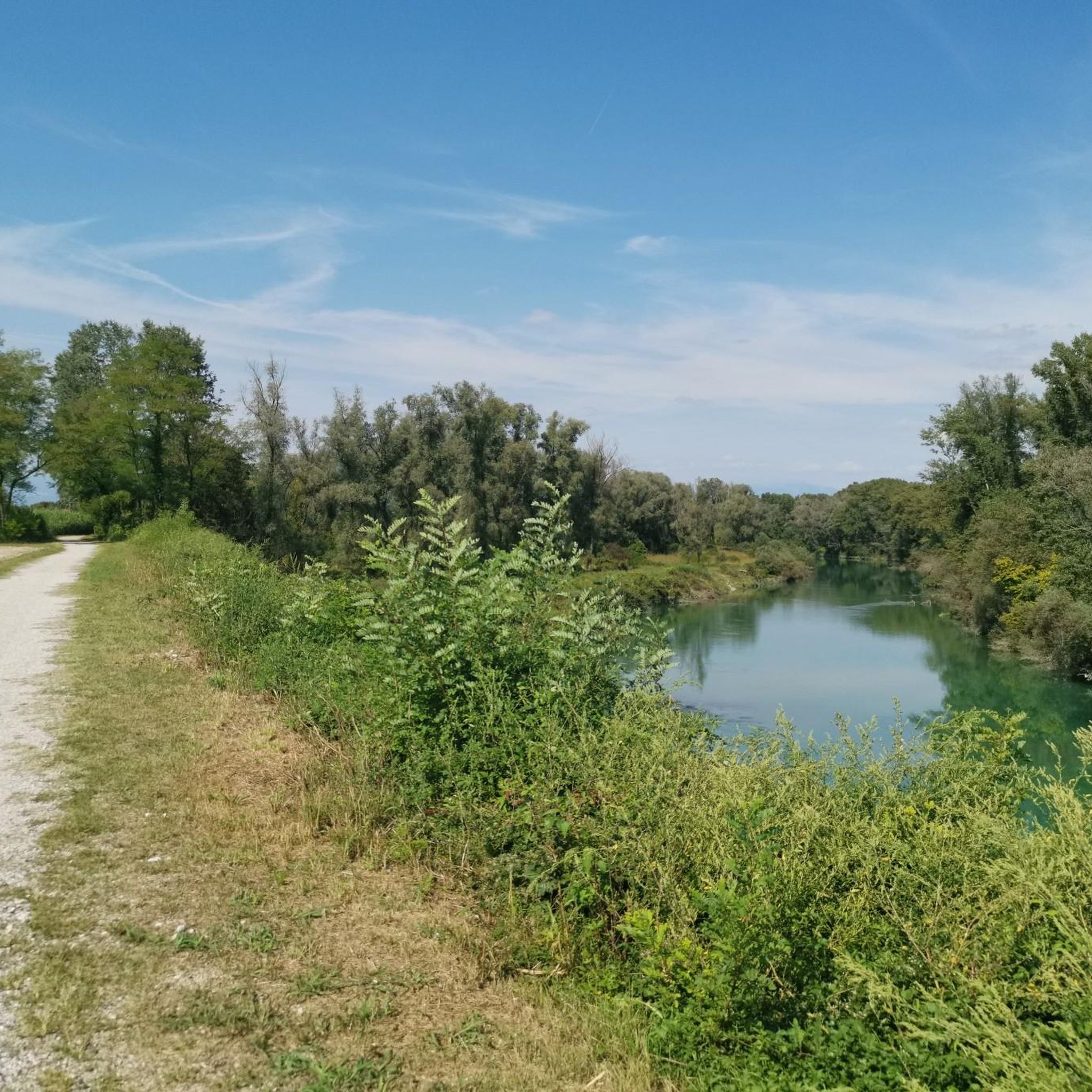
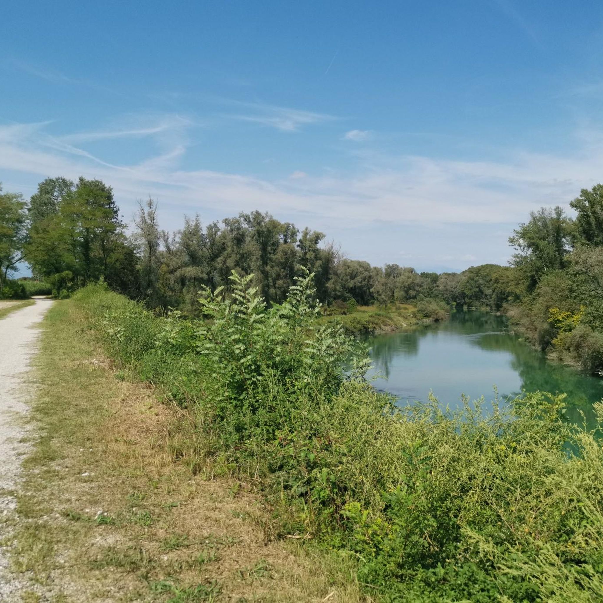
Hiking around San Giorgio In Bosco offers a blend of natural beauty and rural landscapes within the province of Padova. The terrain is generally flat, characterized by the Brenta River and its extensive network of irrigation canals and springs. Hikers can explore diverse environments, from tranquil riverside paths to the unique marshland of Paludi di Onara. The area provides a range of trails suitable for various fitness levels, primarily featuring easy to moderate routes.
Best hiking trails around San Giorgio…
Last updated: October 5, 2026
4.1
(7)
47
hikers
17.6km
04:28
40m
40m
Moderate hike. Good fitness required. Easily-accessible paths. Suitable for all skill levels.
5.0
(5)
28
hikers
17.0km
04:18
40m
40m
Moderate hike. Good fitness required. Easily-accessible paths. Suitable for all skill levels.

4.7
(3)
28
hikers
11.3km
02:52
20m
20m
Moderate hike. Good fitness required. Easily-accessible paths. Suitable for all skill levels.
4.7
(3)
22
hikers
12.0km
03:04
30m
30m
Moderate hike. Good fitness required. Easily-accessible paths. Suitable for all skill levels.
4.0
(2)
23
hikers
12.8km
03:14
20m
20m
Moderate hike. Good fitness required. Easily-accessible paths. Suitable for all skill levels.
Get access to more routes and recommendations from other explorers.
Already have an account?
Our route recommendations are based on thousands of hikes, rides, and runs completed by other people on komoot.
Start today with a free account
Your next adventure awaits.

Tips from the Community

The long Brenta is very beautiful and the route is very varied between dirt roads, single track, scree...constant ups and downs.
1
1

...At three in the afternoon we set out for Villa Contarini, in Piazzola sul Brenta. Its presence emerged slowly, solid and composed, its pale facades illuminated by the winter sun. The elegant lines of the villa stood out against the sky, motionless, while everything around seemed to move: the grass bent by the wind, the shadows lengthening on the ground, the silence broken only by distant footsteps and the rustling of the air...
1
0


Flat gravel, some muddy spots if it rains Perfect for mine and gravel
0
0

Avoid the path in the days right after a storm, since the lower portions are sumberged o extremely muddy.
3
0


Beautiful ride along two large rivers in the Province of Vicenza, the Brenta and the Astico, crossing the large forage fields to the northeast of Vicenza, crossed by a vast network of waterways and irrigation canals and dotted with numerous springs where the waters that come from the Vicenza Mountains return to the surface. Many places where you can taste the typical products of the place and many observation points of the wildlife that lives in the river areas. Ideal route for Gravel bikes and MTB but also very feasible with City bike type bicycles as long as they are equipped with off-road tires.
2
0

Absolutely majestic! The villa and the gigantic square in front are beautiful!
4
0
Frequently Asked Questions
How many hiking trails are available in San Giorgio In Bosco?
San Giorgio In Bosco offers a wide selection of hiking opportunities, with over 140 trails recorded. This includes more than 70 easy routes and over 60 moderate trails, catering to various fitness levels.
What kind of terrain can I expect on hikes around San Giorgio In Bosco?
The terrain around San Giorgio In Bosco is generally flat, characterized by the presence of the Brenta River and its extensive network of irrigation canals and springs. You'll find diverse environments, from tranquil riverside paths to the unique marshland of Paludi di Onara and charming rural countryside.
What is the best time of year to go hiking in San Giorgio In Bosco?
While hiking is enjoyable year-round, the autumnal Paduan landscape offers a particularly picturesque backdrop for walks and cycling. Spring and early summer also provide pleasant conditions for exploring the natural beauty of the Brenta River and its surroundings.
Are there any family-friendly hiking trails in San Giorgio In Bosco?
Yes, with over 70 easy routes, San Giorgio In Bosco has many options suitable for families. These trails often feature flat terrain and scenic views, perfect for a leisurely outing with children. Look for routes along the Brenta River for gentle walks.
Can I bring my dog on the hiking trails in San Giorgio In Bosco?
Many trails in San Giorgio In Bosco are dog-friendly, allowing you to enjoy the outdoors with your canine companion. It's always recommended to keep dogs on a leash and to check for any specific local regulations or signage along individual routes.
Are there any circular hiking routes in San Giorgio In Bosco?
Yes, many of the trails in the area are designed as loops, offering varied scenery without retracing your steps. Examples include the View of the Lake – Lago di Camazzole loop from Fonda Pepe or the Busa de Bastianeo – Villa Contarini loop from Fonda Pepe, which allow you to experience different aspects of the landscape.
What natural features or landmarks can I see while hiking in San Giorgio In Bosco?
Hikers can explore a variety of natural features and landmarks. The Brenta River Trail offers fresh waters and natural beaches, while the unique marshland of Paludi di Onara provides a tranquil stroll. You might also encounter Lake Camazzole or the Brenta Cycle Bridge.
Are there any historical sites or cultural attractions accessible via hiking trails?
Absolutely. Some hiking routes incorporate cultural highlights, such as the Busa de Bastianeo – Villa Contarini loop from Fonda Pepe, which passes the historic Villa Contarini. The nearby Cittadella Walled City also offers a medieval walkway with panoramic views, easily combined with a hiking trip.
Where can I find parking for trailheads in San Giorgio In Bosco?
Parking is generally available near popular trailheads and in the centers of villages like San Giorgio In Bosco. For specific routes, such as those starting from Fonda Pepe, designated parking areas are usually accessible. We recommend checking the route details on komoot for precise parking information for your chosen hike.
Is public transport available to reach hiking trailheads in San Giorgio In Bosco?
Public transport options to reach specific trailheads can vary. While San Giorgio In Bosco is accessible by local bus services, direct connections to all starting points might be limited. For detailed information on public transport routes and schedules, it's best to consult local transport providers or plan your journey in advance.
What do other hikers say about the trails in San Giorgio In Bosco?
The hiking trails in San Giorgio In Bosco are highly regarded by the komoot community, with an average rating of 4.3 stars from over 230 reviews. Hikers often praise the serene environment, the well-maintained paths along the Brenta River, and the blend of natural beauty with historical sites.
What are the typical durations for hikes in this area?
Hike durations in San Giorgio In Bosco vary widely. Easy walks can be completed in under two hours, while moderate routes like the View of the Lake – Lago di Camazzole loop typically take around 4 hours and 45 minutes. There are options for short strolls and longer excursions.
Are there any cafes or restaurants near the hiking trails?
Yes, you can find places to eat and refresh near some of the hiking trails and in nearby towns. For instance, the Ostiglia Refreshment Kiosk is a convenient stop. The historic center of San Giorgio In Bosco and nearby Piazzola sul Brenta also offer various dining options.
Most popular routes around San Giorgio In Bosco
Most popular attractions around San Giorgio In Bosco

Get inspired with the komoot mobile app


Explore more
Browse the best Hikes in other regions.
