The best walks and hikes around Trebaseleghe
4.5
(435)
4,204
hikers
278
hikes
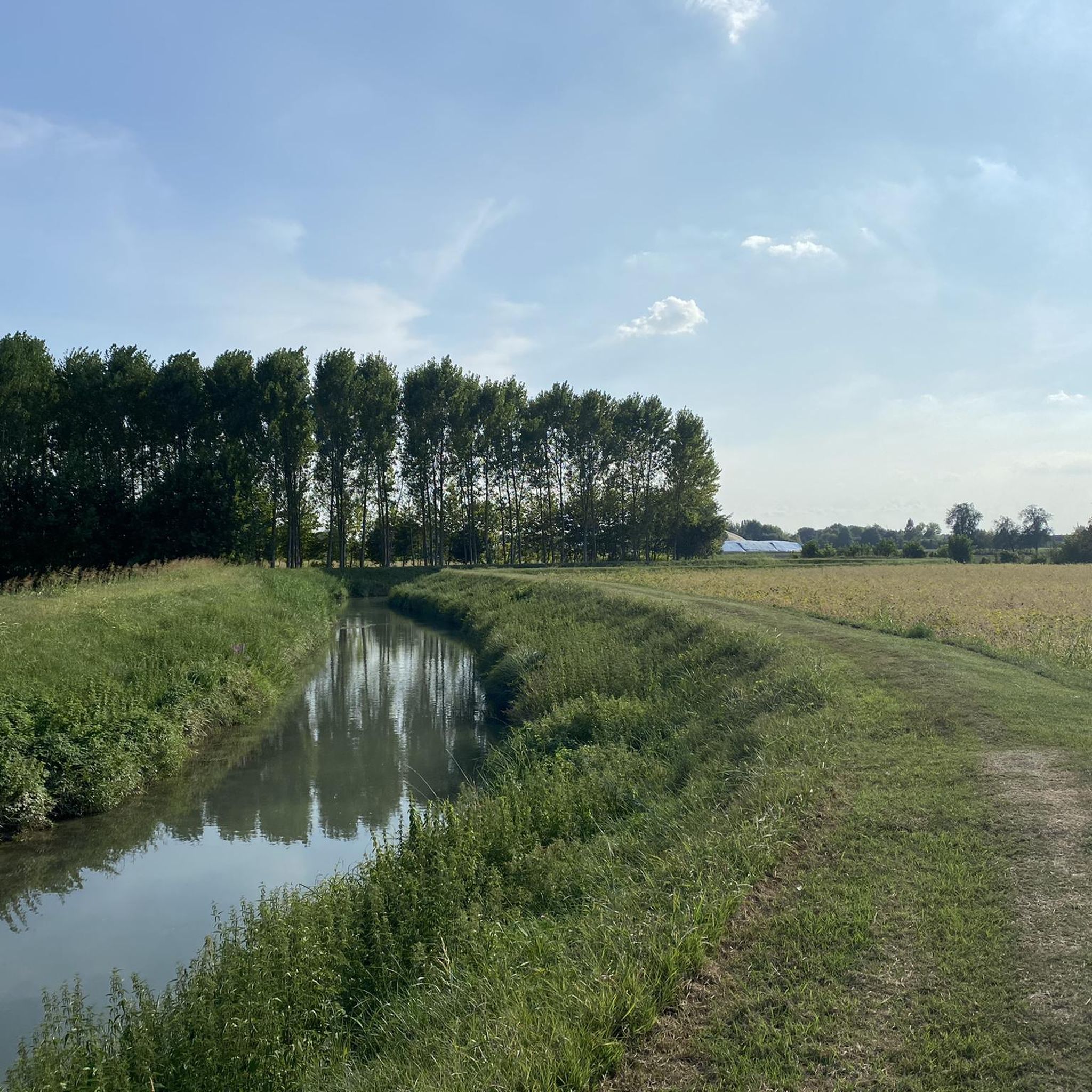
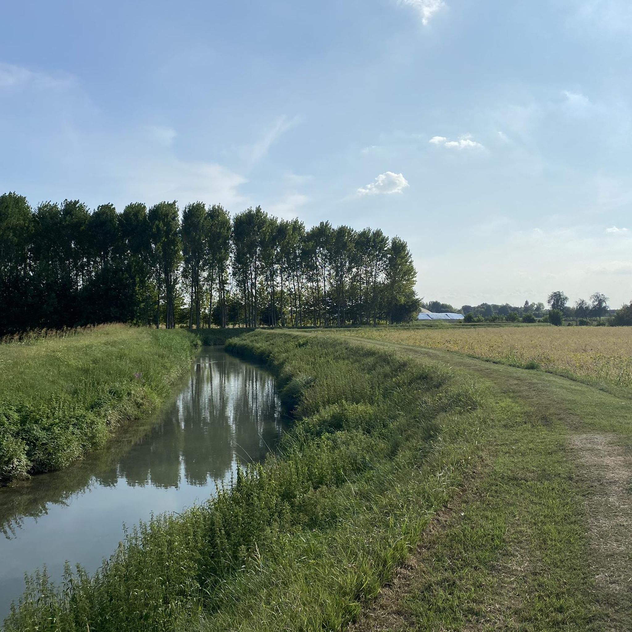
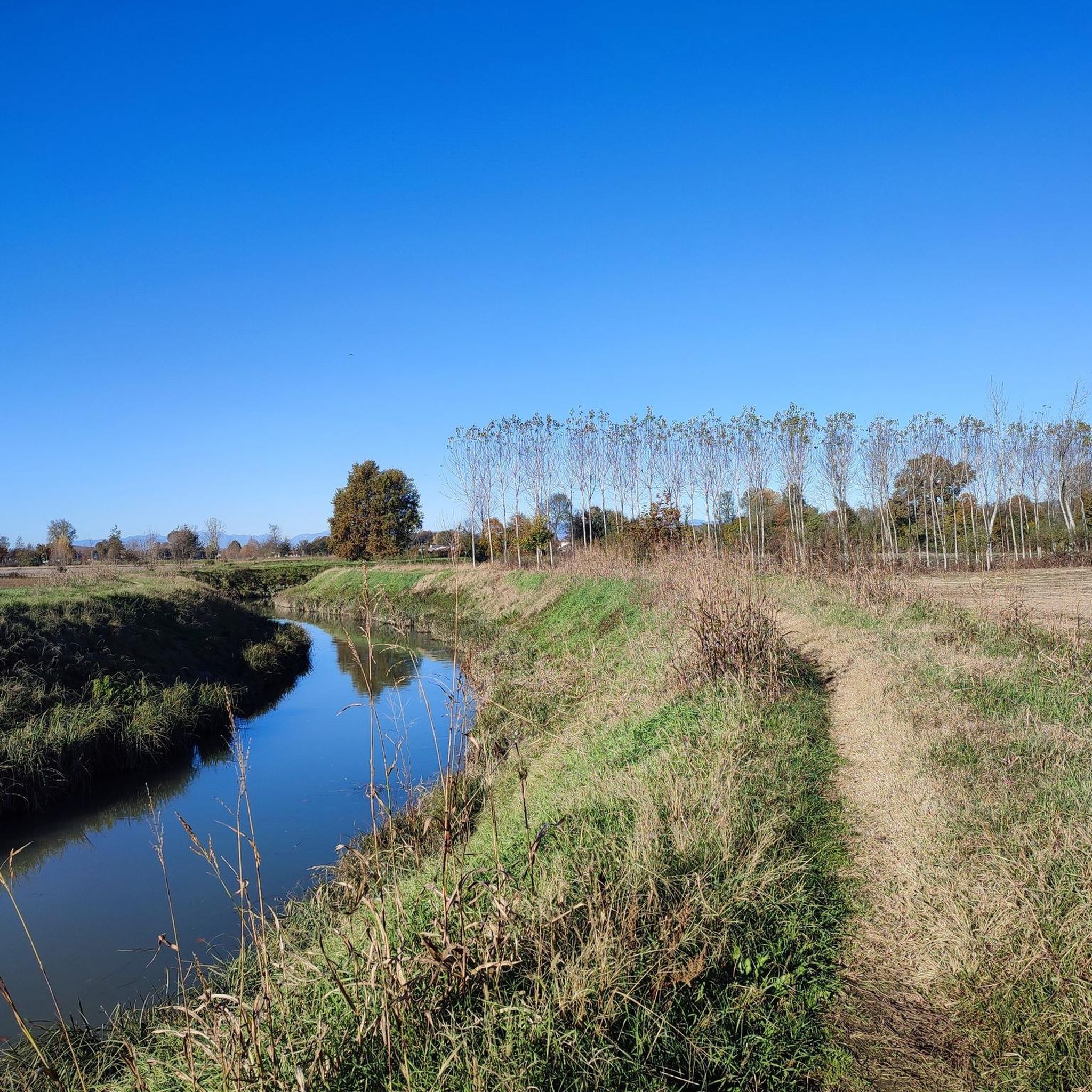
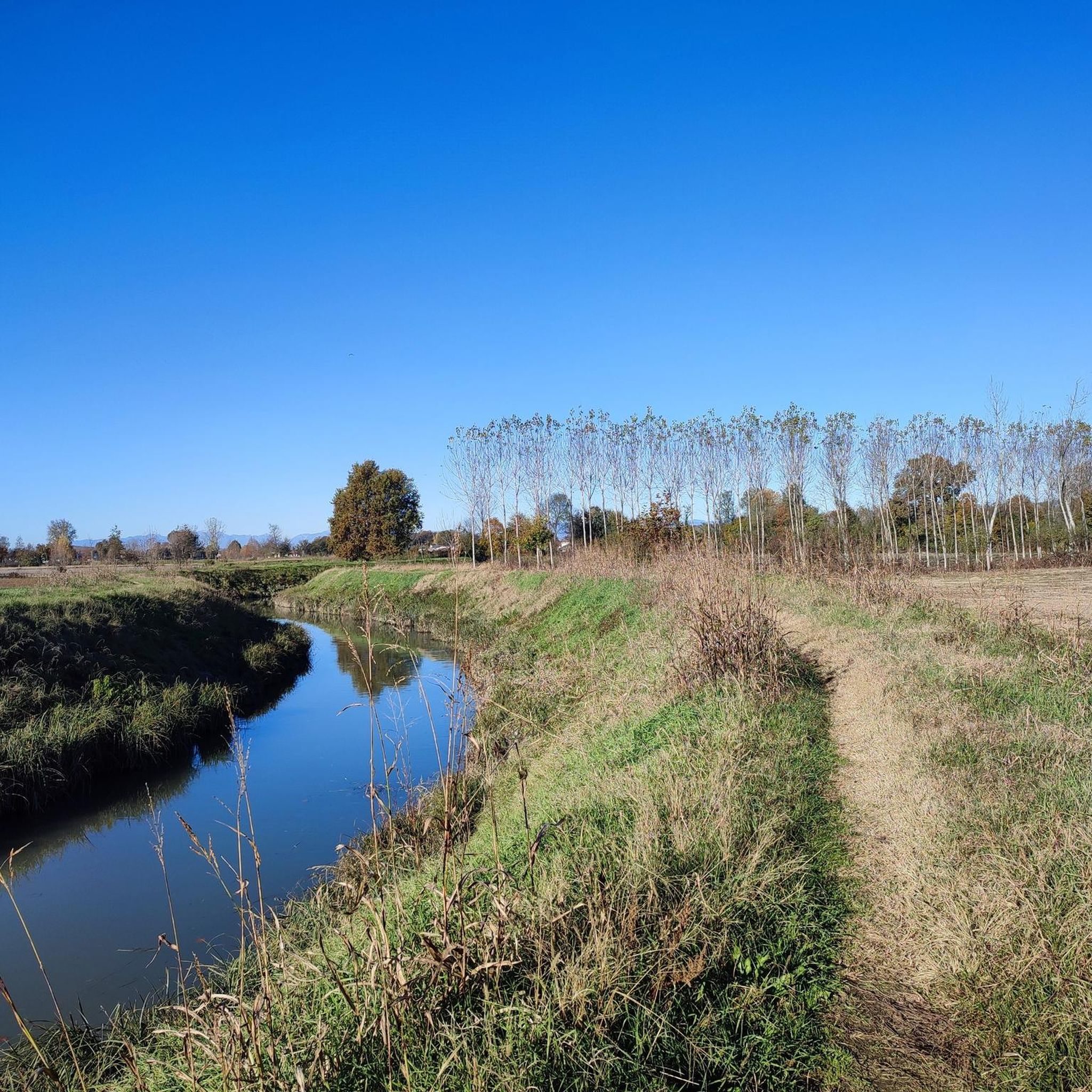
Hiking around Trebaseleghe offers routes through the flat agricultural plains of the Veneto region, characterized by a network of rivers and historic waterways. The terrain typically features minimal elevation changes, making it accessible for various activity levels. Paths often follow riverbanks, disused railway lines converted into cycle paths, and connect small towns and villages.
Best hiking trails around Trebaseleghe
- The most popular hiking route is Zero River – Treviso-Ostiglia Cycle Path loop from Badoere, a 3.4 miles (5.5 km) trail that takes 1 hour 23 minutes to complete. This easy route follows a scenic cycle path alongside the Zero River.
- Another top favourite among local hikers is Buse di Carlesso loop from Levada, a moderate 7.1 miles (11.5 km) path. This route explores local natural depressions and open countryside.
- Local hikers also love the Historic Center of Noale – Tempesta Fortress, Noale loop from Massanzago, a 4.8 miles (7.7 km) trail leading through historic town centers and past cultural landmarks, often completed in about 1 hour 56 minutes.
- Hiking around Trebaseleghe is defined by river paths, converted cycle routes, and historic village landscapes. The network offers options for different ability levels, from easy strolls to moderate excursions.
- The routes in Trebaseleghe are highly rated by the komoot community with an average score of 4.5 stars from over 350 reviews. More than 3000 hikers have used komoot to explore Trebaseleghe's varied terrain.
Last updated: September 28, 2026
4.5
(4)
56
hikers
Moderate hike. Good fitness required. Easily-accessible paths. Suitable for all skill levels.
4.5
(2)
31
hikers
5.51km
01:23
10m
10m
Easy hike. Great for any fitness level. Easily-accessible paths. Suitable for all skill levels.

19
hikers
7.91km
02:00
10m
10m
Easy hike. Great for any fitness level. Easily-accessible paths. Suitable for all skill levels.
4.3
(3)
58
hikers
Easy hike. Great for any fitness level. Easily-accessible paths. Suitable for all skill levels.
4.0
(4)
6
hikers
7.99km
02:01
10m
10m
Moderate hike. Good fitness required. Easily-accessible paths. Suitable for all skill levels.
Get access to more routes and recommendations from other explorers.
Already have an account?
Our route recommendations are based on thousands of hikes, rides, and runs completed by other people on komoot.
Start today with a free account
Your next adventure awaits.

Tips from the Community

The route runs on a dirt track through the forest and along trees. The surface is partly with coarse gravel and very rough.
0
0
The cycle path is laid out to a high professional standard. It impresses with a fine gravel surface, no ruts, no potholes. A very shady route with many information boards. The crossings with roads are secured and partly marked. Cycling on this path is pure pleasure.
0
0

One of many small bridges
1
0
Unfortunately, it was closed right now.
1
0
Beautiful landscape, if the cycle path in the province of Treviso were paved, it would be absolutely perfect.
1
0
Shame, unfortunately no benefit for the railway line cycle path
1
0
Beautiful landscape, if the bike path in the province of Treviso were paved, it would be absolutely perfect.
1
0
Beautiful landscape, if the bike path in the province of Treviso were paved, it would be absolutely perfect.
1
0
Frequently Asked Questions
How many hiking trails are there in Trebaseleghe?
There are over 250 hiking routes available around Trebaseleghe, offering a wide variety of options for different preferences and fitness levels. The majority are easy to moderate, with a few more challenging options.
What kind of terrain can I expect on hikes around Trebaseleghe?
Hikes around Trebaseleghe typically traverse the flat agricultural plains of the Veneto region. You'll find paths along riverbanks, disused railway lines converted into cycle paths, and routes connecting small towns and villages. The terrain generally features minimal elevation changes, making it accessible for many.
Are there any circular hiking routes in Trebaseleghe?
Yes, many routes in Trebaseleghe are designed as loops, allowing you to start and end at the same point. For example, you could try the Buse di Carlesso loop from Levada, which explores local natural depressions and open countryside, or the La Casera loop from Levada.
Are the hiking trails in Trebaseleghe suitable for families with children?
Absolutely. With over 140 easy routes and generally flat terrain, Trebaseleghe is very family-friendly. Many paths follow quiet riverbanks or converted cycle paths, offering safe and enjoyable strolls for all ages. The Todari Mill loop from Scorzè is a shorter, easy option perfect for families.
Can I bring my dog on the hiking trails in Trebaseleghe?
Yes, most hiking trails in Trebaseleghe are dog-friendly. The open countryside, river paths, and converted cycle routes provide ample space for dogs to enjoy the walk alongside their owners. Always keep your dog under control and be mindful of local regulations, especially near agricultural areas or in populated village centers.
What are some interesting places to see or landmarks along the trails?
The region is rich in history and natural beauty. You can explore historic town centers, such as those found on the Historic Center of Noale – Tempesta Fortress, Noale loop from Massanzago. Other notable landmarks include the Tempesta Fortress in Noale, or the scenic Cervara Bridge on the Sile River.
Are there places to eat or drink along the hiking trails?
Yes, many routes pass through or near small towns and villages where you can find cafes, restaurants, and shops. Additionally, some converted cycle paths, like the former Treviso-Ostiglia railway, feature refreshment points such as the Ostiglia Refreshment Kiosk, perfect for a break.
What is the best time of year to go hiking in Trebaseleghe?
Spring and autumn are ideal for hiking in Trebaseleghe, offering pleasant temperatures and beautiful scenery. Spring brings blooming wildflowers, while autumn showcases vibrant foliage. Summer can be warm, but the flat terrain and river proximity can offer some relief. Winter hiking is also possible, especially on clear, crisp days.
Are there any challenging hikes available in Trebaseleghe?
While the majority of routes are easy to moderate, there is at least one designated difficult hike in the Trebaseleghe area. These routes might be longer or involve more varied terrain, though significant elevation changes are rare in this region. For a moderate challenge, consider longer loops that explore more extensive countryside.
What do other hikers say about the trails in Trebaseleghe?
The hiking routes around Trebaseleghe are highly rated by the komoot community, with an average score of 4.5 stars from over 350 reviews. Hikers often praise the peaceful atmosphere, the well-maintained paths along rivers and converted railways, and the opportunity to explore charming villages and historical sites.
How long do hikes typically take in Trebaseleghe?
Hikes in Trebaseleghe vary in length and duration. Shorter, easy routes like the Zero River – Treviso-Ostiglia Cycle Path loop from Badoere can be completed in about 1.5 hours. Longer, moderate excursions might take 3-4 hours, depending on your pace and the specific route chosen.
Most popular routes around Trebaseleghe
Most popular attractions around Trebaseleghe

Get inspired with the komoot mobile app


Explore more
Browse the best Hikes in other regions.
