The best walks and hikes around Cadoneghe
4.0
(450)
2,766
hikers
24
hikes
Hiking around Cadoneghe offers a network of trails primarily characterized by flat terrain and low elevation changes, making them accessible for various activity levels. The landscape features river paths, local green spaces, and routes connecting small communities. This area, situated near Padova, provides opportunities for outdoor activity along waterways and through suburban and agricultural settings.
Best hiking trails around Cadoneghe
- The most popular hiking route is Morning Walk loop from Cadoneghe, a 3.4 miles (5.4 km) trail that takes…
Last updated: October 5, 2026
1.9
(14)
39
hikers
Moderate hike. Good fitness required. Easily-accessible paths. Suitable for all skill levels.
5.0
(1)
32
hikers
Easy hike. Great for any fitness level. Easily-accessible paths. Suitable for all skill levels.

3.0
(1)
12
hikers
6.00km
01:31
10m
10m
Easy hike. Great for any fitness level. Easily-accessible paths. Suitable for all skill levels.
14
hikers
4.81km
01:13
10m
10m
Easy hike. Great for any fitness level. Easily-accessible paths. Suitable for all skill levels.
4
hikers
Moderate hike. Good fitness required. Easily-accessible paths. Suitable for all skill levels.
Get access to more routes and recommendations from other explorers.
Already have an account?
Our route recommendations are based on thousands of hikes, rides, and runs completed by other people on komoot.
Start today with a free account
Your next adventure awaits.

Tips from the Community

The Torre cycle-pedestrian bridge, which spans the Brenta river, is a fundamental hub for sustainable mobility between the Padova Est districts and the municipality of Vigonza. This modern infrastructure is not just a functional crossing, but a privileged viewpoint for observing the river ecosystem and the floodplain below. The bridge allows cyclists and pedestrians to avoid busy roads, directly connecting the Padua urban network with the naturalistic paths of the Riviera del Brenta. Thanks to its lightweight structure and contemporary design, it integrates into the river landscape, offering a safe and pleasant route. It is particularly popular with commuters who choose to cycle and with sports enthusiasts who use the riverbanks for long green excursions towards the lagoon.
0
0

A group of kids are having fun doing jumps and parabolics.
1
0
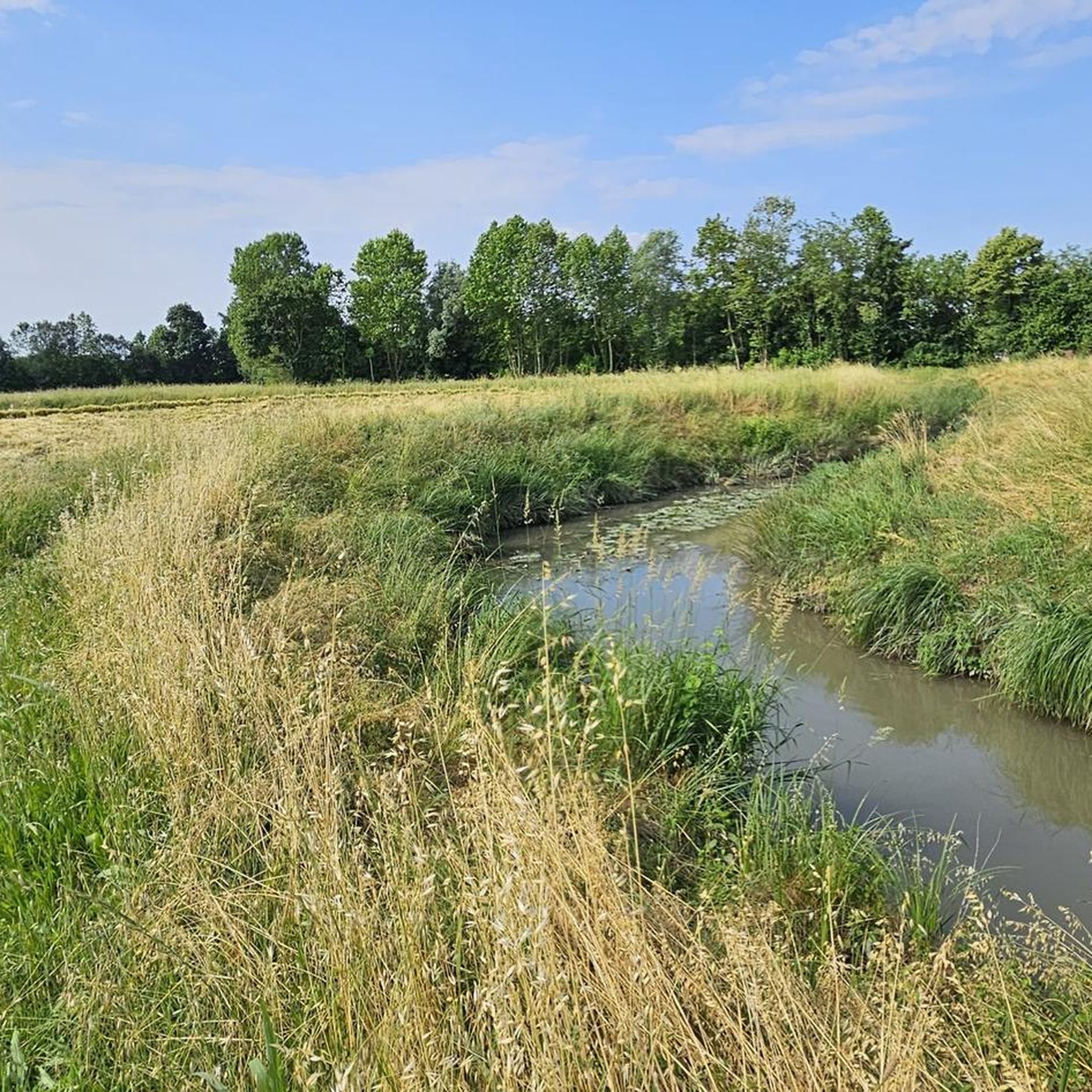
Crossing the embankment in the Bragni area of Cadoneghe
0
0

Useful passage on the Muson
0
0


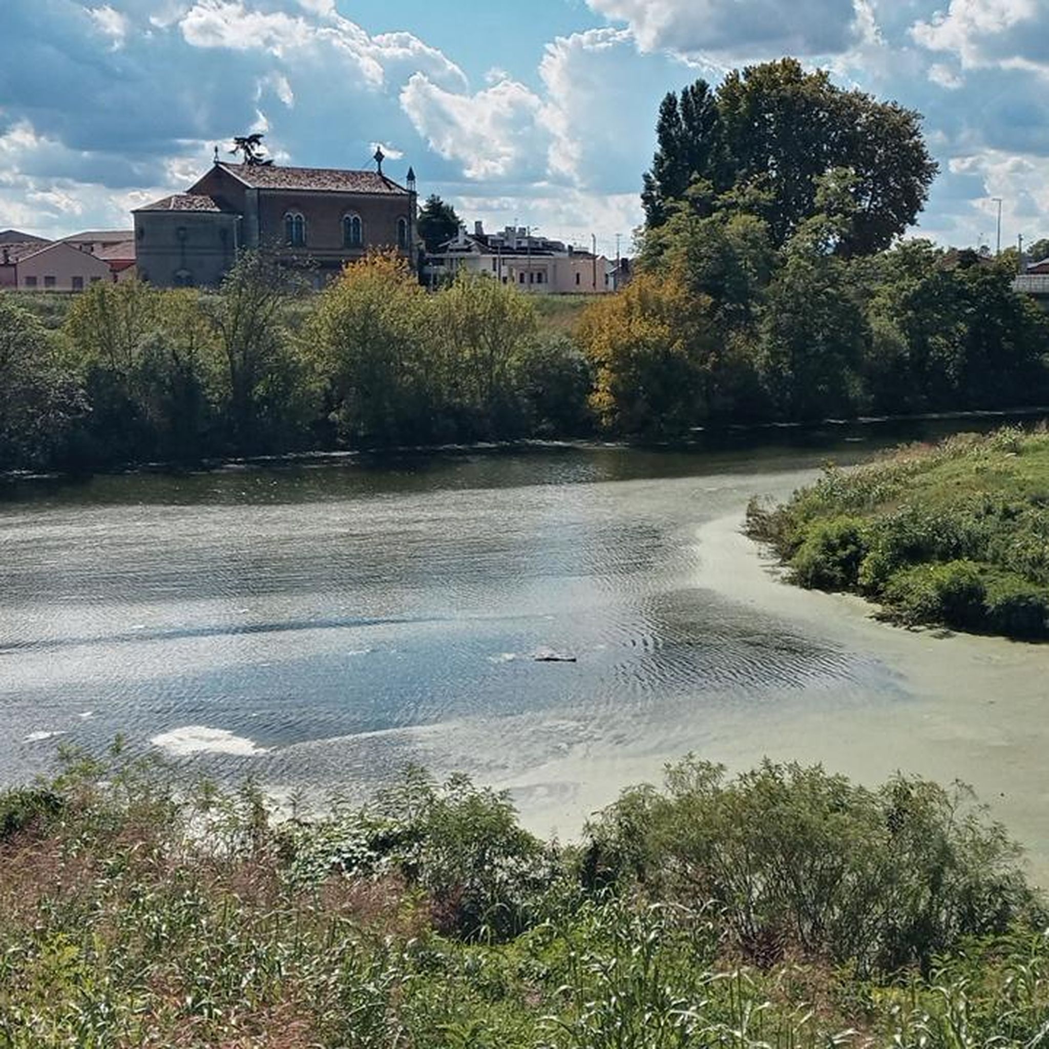
The Muson dei Sassi, a canal built in the 17th century to divert the waters of the Musone river into the Brenta, flows here, just outside Padua. The view from this point is truly suggestive.
2
0

Pedestrian bridge over the Brenta river between Torre and Cadoneghe, it is located along the Padua cycle ring road. Its shape is vaguely reminiscent of the Brooklyn Bridge.
4
2

it allows you to pass from a very busy embankment (left side Brenta) to a much quieter one
1
0
Frequently Asked Questions
Are there many easy hiking trails in Cadoneghe?
Yes, Cadoneghe is known for its accessible trails. Out of 18 available routes, 12 are classified as easy, featuring flat terrain and low elevation changes. These paths are ideal for a relaxed outdoor experience.
Can I find circular hiking routes around Cadoneghe?
Absolutely. Many of the trails in Cadoneghe are designed as loops, allowing you to start and end at the same point. For example, the Morning Walk loop from Cadoneghe is a popular option, as is the Tergola Vecchio and Tergola – Laghetto Azzurro loop from Cadoneghe.
Are the hiking trails in Cadoneghe suitable for families?
Yes, the trails around Cadoneghe are generally very family-friendly. Their flat terrain and low elevation make them suitable for all ages and fitness levels, including those with younger children. Many routes pass through local green spaces and along river paths, offering pleasant scenery.
Are dogs allowed on the hiking trails in Cadoneghe?
Most public paths and green spaces in Cadoneghe are dog-friendly, provided dogs are kept on a leash and owners clean up after them. The river paths and local parks offer great opportunities for walks with your canine companion.
Is parking available near the hiking trails in Cadoneghe?
Yes, as many trails start from or pass through residential areas and local parks, you can typically find public parking options nearby. It's advisable to check the specific starting point of your chosen route for the most convenient parking.
What interesting sights can I explore near the hiking trails in Cadoneghe?
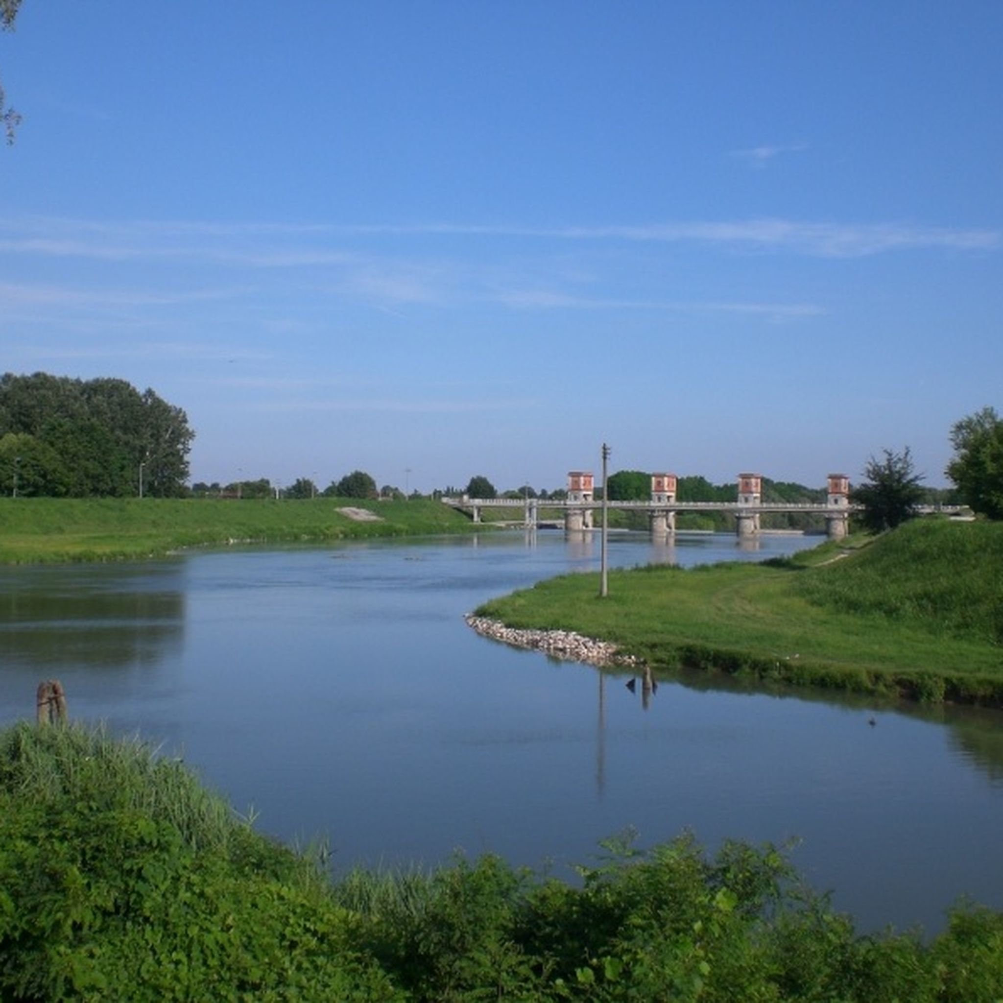
While hiking, you can discover several points of interest. Consider visiting the Weir on the Brenta River or exploring the Parco Tergolandia Art and Nature Trail. The area also features the Great Tree of the Certosa di Vigodarzere and the Brentella Canal.
What is the typical length and duration of hikes in Cadoneghe?
Hikes in Cadoneghe typically range from 3 to 7 miles (5 to 11 km) and can take anywhere from 1.5 to 3 hours to complete, depending on your pace. For instance, the Hiking loop from Vigodarzere is about 3.8 miles (6.1 km) and takes around 1 hour 32 minutes.
What do other hikers say about the trails in Cadoneghe?
The hiking trails in Cadoneghe are highly rated by the komoot community, with an average score of 4.2 stars from over 400 reviews. Hikers often praise the easy accessibility, the pleasant riverine scenery, and the well-maintained paths that are perfect for a relaxing stroll.
What is the best time of year to hike in Cadoneghe?
The best time to hike in Cadoneghe is generally during spring and autumn when the weather is mild and comfortable. Summer can also be pleasant, especially along the shaded river paths, but it's advisable to hike in the mornings or late afternoons to avoid the midday heat. Winter hiking is possible due to the flat terrain, though some paths might be muddy.
Can I spot wildlife while hiking in Cadoneghe?
Given the presence of river paths and green spaces, you have a good chance of spotting local birdlife and small mammals. The tranquil settings along the Tergola and Brenta rivers are particularly conducive to observing nature.
Are there any less-known or 'hidden gem' trails in Cadoneghe?
While many routes are popular, exploring the network of paths connecting smaller communities and agricultural areas can reveal quieter sections. The Morning Walk – Cadoneghe Suspension Bridge loop from Cadoneghe offers a pleasant experience with a notable landmark, providing a slightly different perspective.
Are the hiking trails in Cadoneghe challenging in terms of elevation?
No, the hiking trails in Cadoneghe are characterized by very low elevation changes. The terrain is predominantly flat, making it an excellent choice for those seeking easy walks without significant climbs or descents. The maximum elevation gain on most routes is minimal.
Most popular routes around Cadoneghe
Most popular attractions around Cadoneghe

Get inspired with the komoot mobile app


Explore more
Browse the best Hikes in other regions.
