The best walks and hikes around Stanghella
4.4
(488)
3,162
hikers
110
hikes
Hiking around Stanghella offers access to varied terrain, from flat plains to nearby volcanic hills. The immediate area features accessible trails along natural waterways like the Adige River and local canals, providing easy walking opportunities. Further afield, the region provides access to the distinct landscapes of the Euganean Hills, characterized by their ancient volcanic origin, and the more mountainous Little Dolomites with their rocky peaks. This diverse geography supports a range of hiking experiences.
Best hiking trails around Stanghella
- The…
Last updated: July 3, 2026
5.0
(1)
43
hikers
15.9km
04:00
20m
20m
Moderate hike. Good fitness required. Easily-accessible paths. Suitable for all skill levels.
5.0
(1)
20
hikers
Moderate hike. Good fitness required. Easily-accessible paths. Suitable for all skill levels.

Sign up for free
9
hikers
20.4km
05:07
10m
10m
Hard hike. Very good fitness required. Easily-accessible paths. Suitable for all skill levels.
5.0
(1)
8
hikers
5.22km
01:19
10m
10m
Easy hike. Great for any fitness level. Easily-accessible paths. Suitable for all skill levels.
5.0
(2)
30
hikers
8.44km
02:07
10m
10m
Moderate hike. Good fitness required. Easily-accessible paths. Suitable for all skill levels.
Get access to more routes and recommendations from other explorers.
Sign up for free
Already have an account?
Our route recommendations are based on thousands of hikes, rides, and runs completed by other people on komoot.
Start today with a free account
Your next adventure awaits.
Login or Signup

Tips from the Community

Beautiful cycle/pedestrian path in Rovigo
0
0

The Morosini Tower is all that remains of Villa Morosini, destroyed during a bombing raid on April 20, 1945. It remained inhabited until 1983 and was then restored by the municipal administration. Built of masonry with a square base, the tower is 22 meters tall and has a 53 cm slope. It comprises three floors above ground, connected by a spiral staircase with 128 marble steps; the summit features elegant terracotta battlements and decorative ashlar work on the sides and windows. The tower's connections with the lost older buildings are still visible.
0
0

Beautiful and quiet track
0
0

I didn't even recognize it when I passed by today, now it's too beautiful 🤣 (Torre Morosini)
0
0

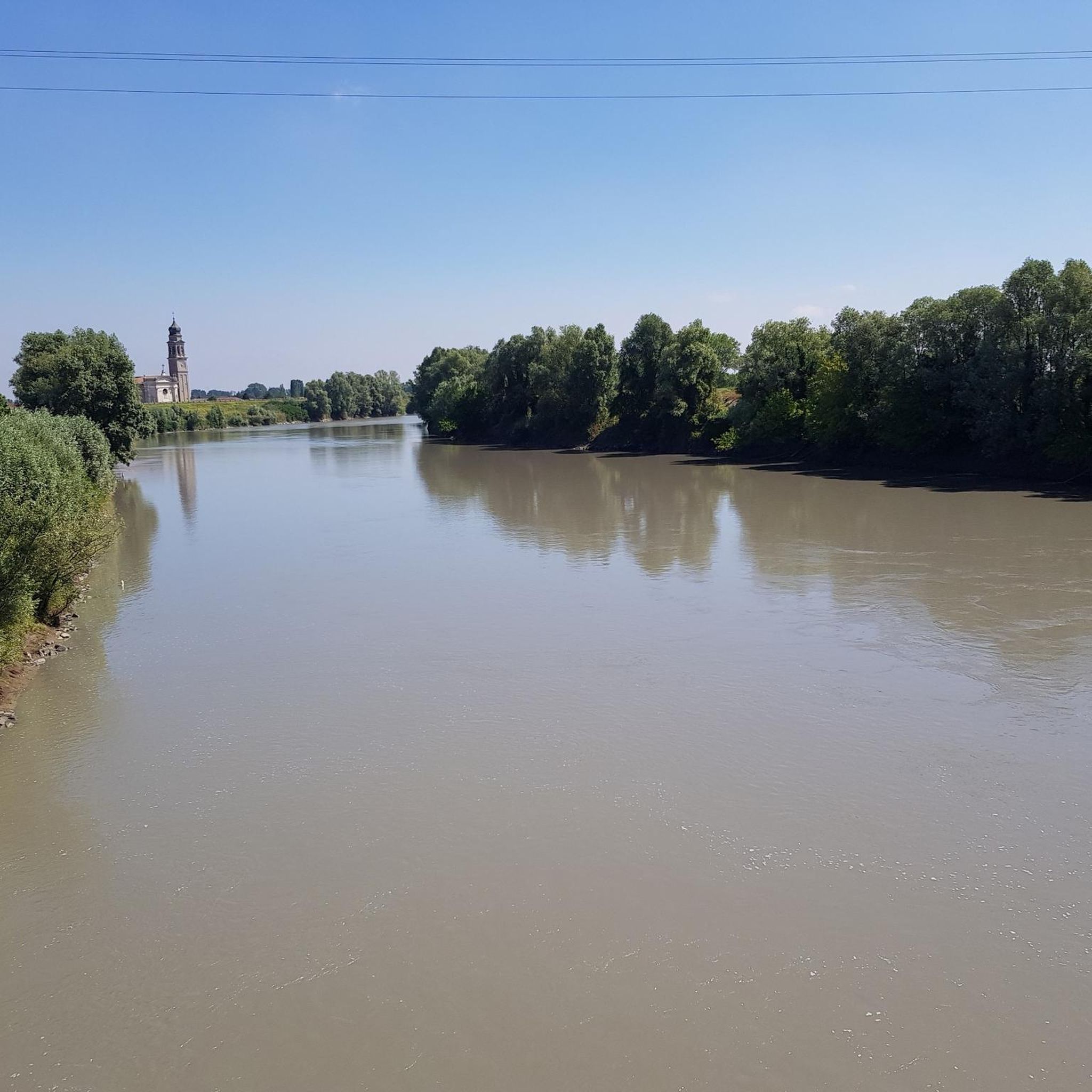
Near the Lusia bridge (RO) on the Adige river, you can see the Morosini crenellated tower, with its 22 meters of height. An internal spiral staircase, composed of 128 steps, allows you to go up three floors, before reaching its top. The tower is what remains of an ancient villa of the same name, half destroyed by the Allied bombings (!) on April 20, 1945. The villa occupied the space of the tower, to the right, where the road is currently. The villa was built by will of the Venetian Morosini family, at the beginning of the 17th century, transforming the medieval castle built by the Este family in the 11th century. The villa remained the property of Countess Loredana Morosini Gatterburg until her death (1884) and in 1889 it became the property of the Oliva family. In 1935 it was purchased by the municipality of Lusia who adapted it to the town hall and elementary schools. After the bombing, the municipality did not consider it appropriate to rebuild it.
0
0
Frequently Asked Questions
What kind of hiking trails can I expect around Stanghella?
Stanghella itself offers generally flat and accessible trails, often following natural waterways like the Adige River and local canals. These are ideal for leisurely walks. For more varied terrain, the nearby Euganean Hills provide volcanic landscapes with diverse flora and an extensive network of trails, while the Little Dolomites offer a more mountainous experience with dramatic peaks.
How many hiking routes are available in the Stanghella area?
There are over 100 hiking routes available around Stanghella. These range from easy strolls along canals to more challenging trails in the nearby Euganean Hills and Little Dolomites.
Are there any easy hiking trails suitable for beginners or families?
Yes, Stanghella is well-suited for easy hikes. Many trails follow the flat terrain along local waterways. For example, the Adige River in Rovigo loop from Granzette is an easy 5.2 km route, and the Canal Near Stanghella loop from Granze offers a gentle 4.9 km path through rural scenery. In the Little Dolomites, the 'Sentiero dei Grandi Alberi' is also known as a family-friendly option.
What are the best times of year for hiking near Stanghella?
Given the humid subtropical climate, spring and autumn are generally the most pleasant seasons for hiking around Stanghella, offering mild temperatures. Summer can be warm and humid, while winter provides opportunities for cooler, crisp walks, especially on the flatter local trails.
Are there any circular hiking routes available?
Yes, many routes around Stanghella are designed as loops. Examples include the The Way of Saint Anthony loop from Boara Pisani, which is an easy 7.0 km trail, and the Hiking loop from Solesino, another easy 7.3 km option.
What kind of natural features can I see while hiking in the region?
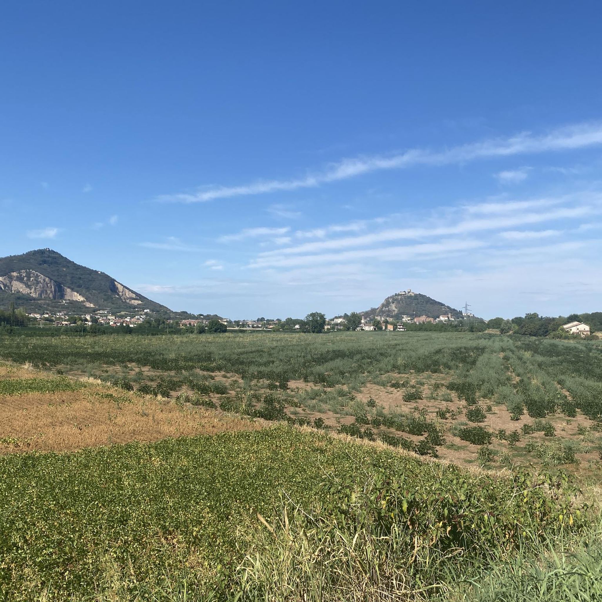
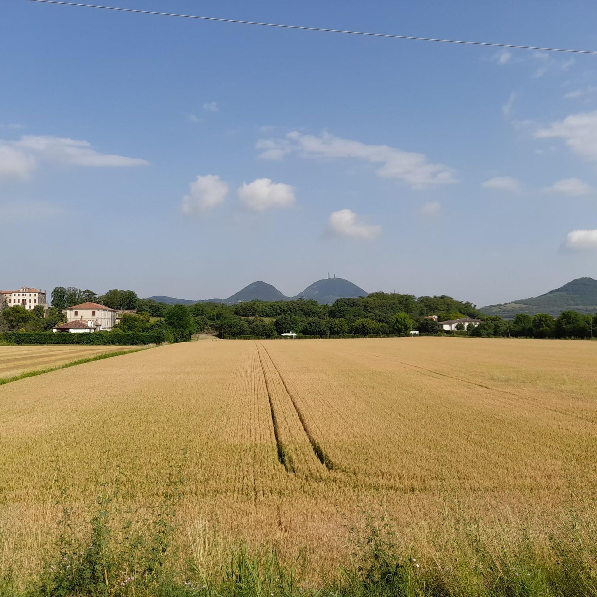
Around Stanghella, you'll encounter natural waterways like the Adige River and various canals. The nearby Euganean Hills, of ancient volcanic origin, feature unique landscapes with diverse flora, vineyards, and olive groves. Further afield, the Little Dolomites offer dramatic rocky peaks, lush forests, and meadows.
What do other hikers enjoy most about the trails around Stanghella?
The area is highly rated by the komoot community, with an average score of 4.5 stars from over 480 reviews. Hikers often praise the accessibility of the trails, the peaceful rural scenery, and the variety of options ranging from flat canal-side walks to more challenging routes in the nearby hills.
Are there any historical landmarks or attractions to explore near the hiking trails?
Yes, the region boasts several historical sites. You can explore the Carrarese Castle in Este, the Old Cathedral of Monselice, or the Villa Duodo. The The Way of Saint Anthony – Rovigo Castle Towers loop from Boara Pisani even passes by the Rovigo Castle Towers.
Can I bring my dog on the hiking trails near Stanghella?
While specific regulations can vary by trail and protected area, many of the local, flatter trails along canals and rivers are generally dog-friendly, provided dogs are kept on a leash. For trails in regional parks like the Euganean Hills, it's always advisable to check local park rules regarding pets.
What is the typical terrain like on hikes in Stanghella?
The immediate area around Stanghella is characterized by flat terrain, often following riverbanks and canals. As you venture towards the Euganean Hills, the terrain becomes hilly and volcanic, while the Little Dolomites offer more rugged, mountainous paths.
Are there any challenging hikes for experienced hikers?
While Stanghella itself offers mostly easy to moderate trails, more challenging options can be found in the nearby regions. The Euganean Hills provide routes with significant elevation changes, and the Little Dolomites offer mountainous hikes with dramatic rocky peaks, suitable for experienced hikers seeking more strenuous adventures.
Is public transport available to reach hiking trailheads near Stanghella?
Stanghella is a municipality in the Province of Padua. While local buses connect towns, direct public transport to specific, remote trailheads might be limited. It's recommended to check local bus schedules for connections to towns near the Euganean Hills or Little Dolomites if you plan to rely on public transport for those areas.
Are there any viewpoints with scenic vistas on the trails?
While the immediate Stanghella area is flat, the nearby Euganean Hills offer numerous viewpoints due to their volcanic origin, providing panoramic views over the surrounding plains and diverse landscapes. The Little Dolomites also boast splendid mountainous views, such as those found along the 'Sentiero dei Grandi Alberi'.
Most popular routes around Stanghella
Most popular attractions around Stanghella

Get inspired with the komoot mobile app


Explore more
Browse the best Hikes in other regions.
