The best running trails around Santo Stefano D'Aveto
3.0
(1)
271
runners
20
runs
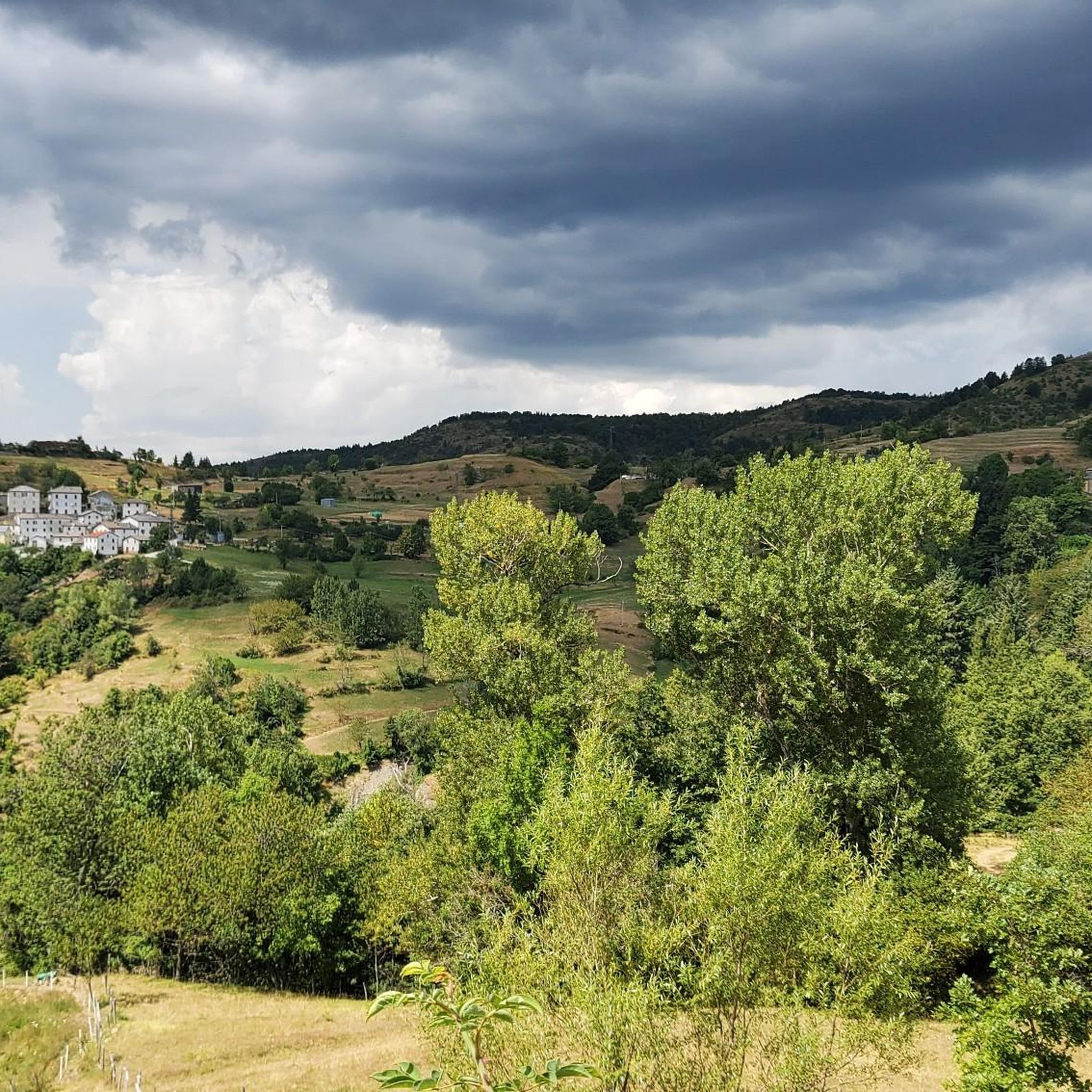
Jogging around Santo Stefano D'Aveto offers access to the diverse natural landscapes of Liguria's Aveto Valley, an area recognized with an "Orange Flag" for its quality tourism. The region is characterized by the high peaks of the Apennine mountains, including Monte Maggiorasca and Monte Bue, providing varied elevation for running. Dense forests of chestnut, beech, and fir trees offer shaded routes, while the valley itself features a mix of soft hollows and sharp peaks, alongside lakes such as Lago delle…
Last updated: June 30, 2026
3.64km
00:42
240m
240m
Hard run. Good fitness required. Sure-footedness, sturdy shoes and alpine experience required.
40
runners
17.4km
01:55
400m
400m
Hard run. Very good fitness required. Mostly paved surfaces. Suitable for all skill levels.

Sign up for free
8
runners
5.33km
00:40
180m
180m
Hard run. Good fitness required. Sure-footedness, sturdy shoes and alpine experience required.
11
runners
Hard run. Very good fitness required. Sure-footedness, sturdy shoes and alpine experience required.
10
runners
17.2km
02:24
540m
540m
Hard run. Very good fitness required. Sure-footedness, sturdy shoes and alpine experience required.
Get access to more routes and recommendations from other explorers.
Sign up for free
Already have an account?
Our route recommendations are based on thousands of hikes, rides, and runs completed by other people on komoot.
Start today with a free account
Your next adventure awaits.
Login or Signup
Other adventures around Santo Stefano D'Aveto

Tips from the Community

It is easily well marked along the forest road.
0
0
Beautiful hiking structure located at 1,400 meters, surrounded by beech trees and positioned on the border with the municipalities of Bedonia and Tornolo for the province of Parma, and Santo Stefano d'Aveto for the metropolitan city of Genoa. Too bad it is never open despite the structure being recent and in good condition.
0
0
Beautiful pass of the Ligurian Apennines located at 1,468 meters. Strategic point that offers various alternatives to start a walk or a long hike.
0
0
Pass of the Ligurian Apennines located at an altitude of 1,452 m, it is reachable by car and is a crossroads where various hiking trails branch off.
0
0
Born from the recovery of old barracks, it is a beautiful refuge where you can both eat and stay overnight. The location is stunning and makes it a must-stop when visiting these areas.
0
0


Climbing from Selva (a hamlet of Ferriere), keep right and continue towards the GAEP "Vincenzo Stoto" refuge (closed on September 14th) and shortly after you reach the Crociglia Pass. The final section is quite steep, but well-paved. Descent towards the southern slope towards Liguria. I recommend passing through Santo Stefano D'Aveto.
0
0

Mount Crociglia and Mount Carevolo are two of the most panoramic peaks in the entire Piacenza Apennines. Their peaks share common characteristics: first, their shape—large, grass-covered domes—and second, the lack of significant elevations in the immediate vicinity, making them exposed to the wind but also offering exceptionally beautiful viewpoints. The summit of the mountain (1,578 meters), highlighted by the large statue of the Archangel Raphael, erected in memory of those who fell in the mountains: 😓😓 Luigi Mazzocchi 1975 Giulio Fox 1977 Paolo Fox 1977 Pino De Lorenzi 1979 Giovanni Razzini 1981 Giovanni Tosi 1981 Mauro Fariselli 1990 Mario Sanpaolo 1990 Renata Scaramuzza 2002 Emanuele Patti 2017 Luca Bernini 2024 From here you can enjoy a 360° view of the Nure Valley.
0
0
Frequently Asked Questions
How many running routes are available in Santo Stefano D'Aveto?
There are over 10 dedicated running routes around Santo Stefano D'Aveto, offering a variety of experiences through the region's diverse landscapes. These routes are popular among the komoot community, with more than 300 runners having explored the area.
What kind of terrain can I expect on the jogging trails in Santo Stefano D'Aveto?
The jogging trails in Santo Stefano D'Aveto primarily feature mountainous terrain with significant elevation changes, winding through dense forests of chestnut, beech, and fir trees. You'll also find paths that offer panoramic views of the Aveto Valley and surrounding Apennine peaks.
Are there any circular running routes in the area?
Yes, Santo Stefano D'Aveto offers several circular running routes. A popular option is the From Passo dell'Incisa to Monte Penna – ring run, which is a 3.6 km trail offering views of the Apennine peaks. Another favorite is the Rifugio Casermette del Penna – Monte Trevine loop from Monte Penna, a longer 9.3 km path through dense forests.
What are some challenging running trails in Santo Stefano D'Aveto?
Many of the routes in Santo Stefano D'Aveto are considered challenging due to the mountainous terrain and elevation changes. For a significant challenge, consider the Monte Nero Summit – Rifugio Prato Cipolla loop from Santo Stefano d'Aveto, a 19.9 km trail that leads through demanding mountainous terrain and forests.
Can I find running routes with scenic viewpoints?
Absolutely. The region is known for its breathtaking panoramic views. Trails in the higher Apennine mountains, such as those near Monte Maggiorasca and Monte Bue, often provide stunning vistas of the entire Val d'Aveto and Prato Grande. The From Passo dell'Incisa to Monte Penna – ring run is a good example, offering views of the Apennine peaks.
Are there any lakes or waterfalls I can incorporate into my run?
Yes, the Aveto Valley features hidden waterfalls and serene lakes like Lago delle Lame and Black Lake. These natural features can be integrated into longer trail runs, adding to the scenic variety of your outdoor experience.
What historical or cultural attractions can I see while jogging in the area?
While primarily natural, Santo Stefano D'Aveto also has historical points of interest. You can jog past the 13th-century Malaspina Castle near the town center or explore trails that lead through ancient villages and along old mule tracks, immersing you in the region's rich history and traditional architecture.
What do other runners say about the trails in Santo Stefano D'Aveto?
The running routes in Santo Stefano D'Aveto are highly regarded by the komoot community, with an average rating of 4.0 stars. Reviewers often praise the diverse natural landscapes, the challenging mountainous terrain, and the stunning panoramic views offered by the trails.
When is the best time of year to go jogging in Santo Stefano D'Aveto?
The summer months offer a refreshing escape from the heat with cooler mountain air, making it an ideal time for jogging. However, each season provides its unique beauty, with lush forests offering shade in warmer months and picturesque scenery throughout other times of the year.
Are there any specific peaks or summits I can aim for on a run?
The region is home to several prominent peaks that can be part of your running adventure. These include Monte Maggiorasca, Monte Bue, Monte Penna, Monte Tomarlo, and Groppo Rosso. You can find highlights like the Monte Bue summit and summit cross or the Statue of the Madonna on Monte Penna along various routes.
Are there any routes suitable for a longer, more endurance-focused run?
For those seeking a longer, endurance-focused run, the Passo dell'Incisa loop from Santo Stefano d'Aveto is an excellent choice. This route covers 17.7 km with significant elevation gain, providing a substantial challenge for experienced runners.
Most popular attractions around Santo Stefano D'Aveto

Get inspired with the komoot mobile app


Explore more
Browse the best Running Trails & Routes in other regions.
