The best walks and hikes around Stettfurt
4.6
(475)
2,651
hikers
18
hikes
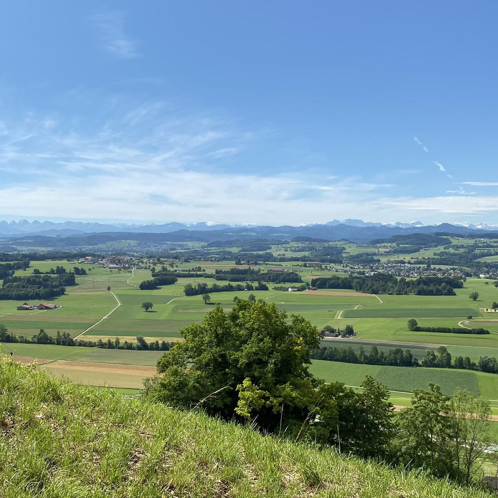
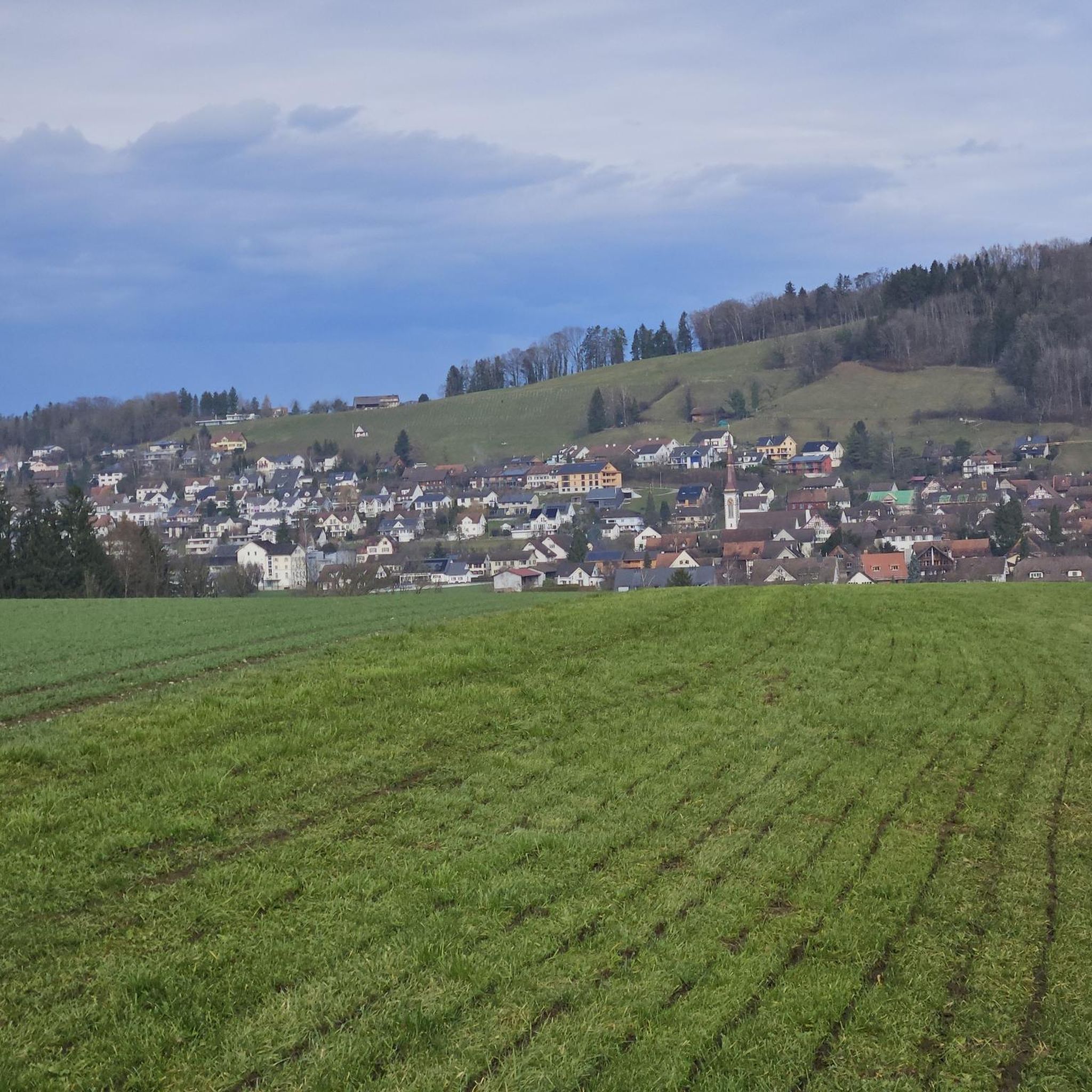
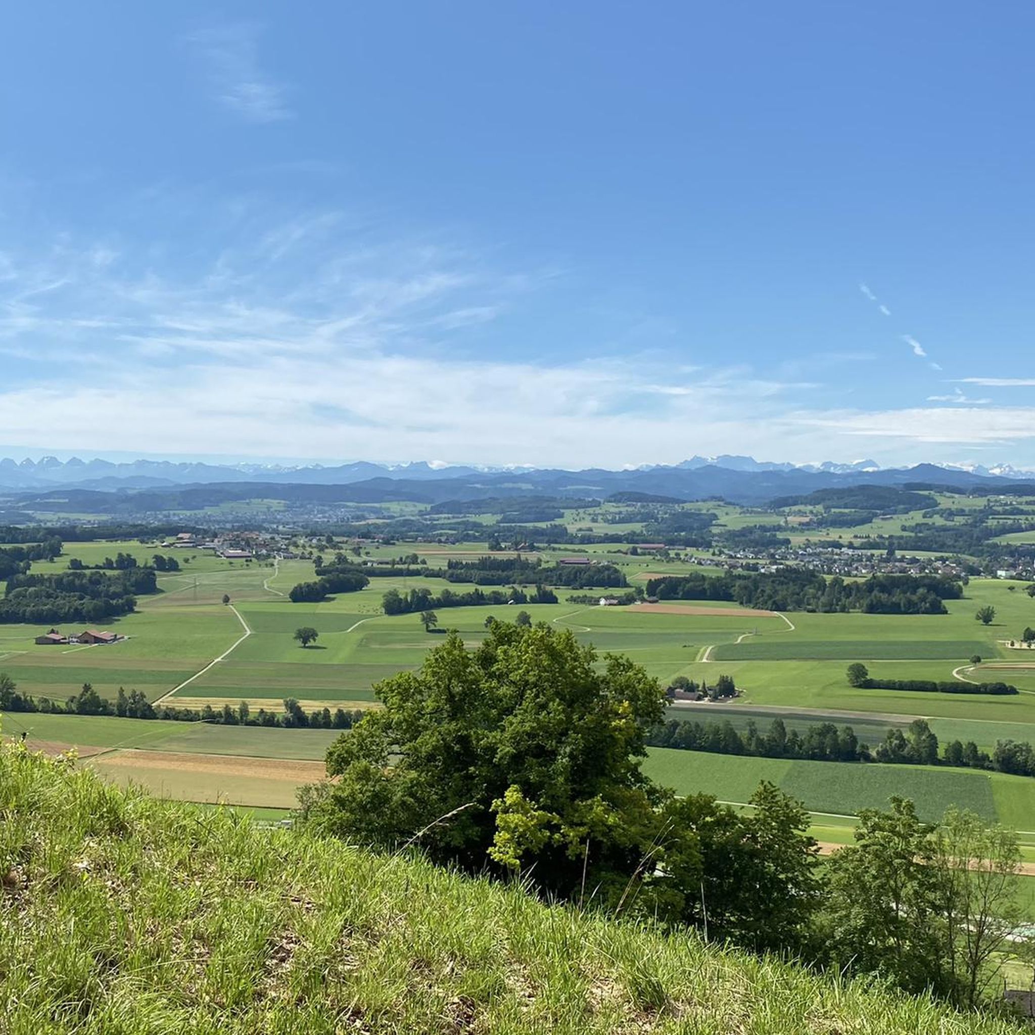
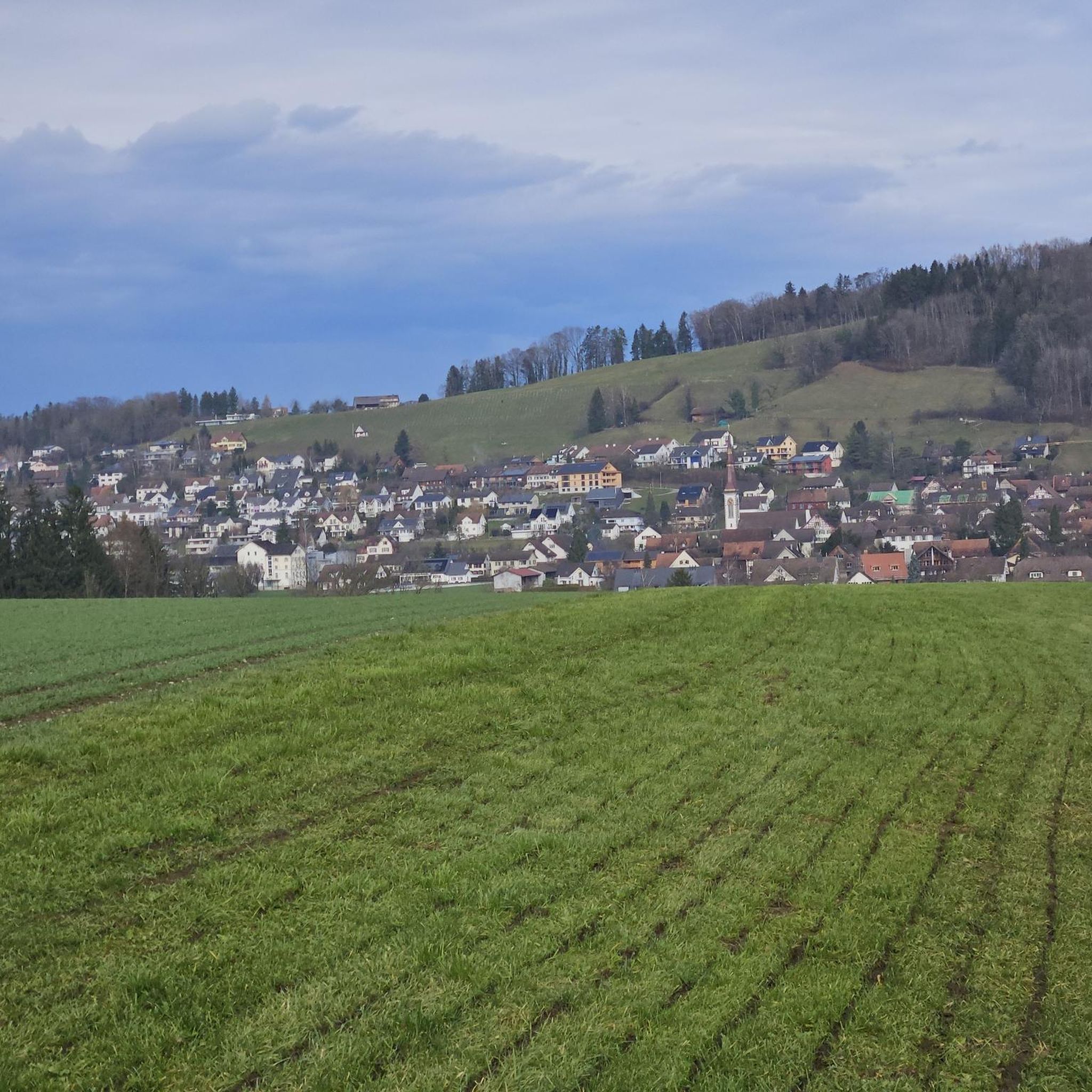
Hiking around Stettfurt offers varied cultural landscapes and panoramic views in the canton of Thurgau, Switzerland. The municipality is situated at the southern foot of the Immenberg mountain, which features a nature reserve. Hikers can expect to traverse forests, rolling hills, and valleys, characteristic of the Thurgau region. The area provides views of valleys and distant mountains, including the panorama from Vorarlberg to the Bernese Alps from viewpoints like the Immenberg's summit.
Best hiking trails around Stettfurt
- The most popular…
Last updated: October 8, 2026
4.7
(19)
78
hikers
5.48km
01:30
90m
90m
Easy hike. Great for any fitness level. Easily-accessible paths. Suitable for all skill levels.
4.9
(7)
36
hikers
9.42km
02:45
240m
240m
Moderate hike. Good fitness required. Easily-accessible paths. Suitable for all skill levels.

5.0
(5)
30
hikers
7.25km
02:10
210m
210m
Moderate hike. Good fitness required. Easily-accessible paths. Suitable for all skill levels.
5.0
(1)
23
hikers
6.47km
01:49
130m
130m
Easy hike. Great for any fitness level. Easily-accessible paths. Suitable for all skill levels.
5.0
(4)
19
hikers
6.49km
01:48
110m
110m
Easy hike. Great for any fitness level. Easily-accessible paths. Suitable for all skill levels.
Get access to more routes and recommendations from other explorers.
Already have an account?
Our route recommendations are based on thousands of hikes, rides, and runs completed by other people on komoot.
Start today with a free account
Your next adventure awaits.
Tips from the Community

The construction crane is finally gone after 12 years! Older photos of it are now outdated...
1
0
The notorious crane at the castle was finally dismantled after 12 years!
1
0
The infamous crane at the castle has finally been dismantled after 12 years! This makes older entries and photos outdated...
1
0

After the landslide, the path is open again. ATTENTION: the new, very steep staircase (approx. 50 meters) to bypass the large landslide is not passable!
1
0

Absolutely wonderful view. But go to the Seerücken ridge, 8508 Homburg, to the Catholic church. I lived there for almost 50 years. Even more magnificent.
0
1

Barbecue area and rest area with a view of the Alps.
2
0
Great view of the Alps, Säntis...
3
0

I'm curious when the construction curtain finally falls and the crane disappears
1
0
Frequently Asked Questions
How many hiking trails are available around Stettfurt?
Stettfurt offers a diverse network of over 20 hiking trails. These routes cater to various preferences, with 16 classified as easy and 4 as moderate, ensuring there's a suitable option for most hikers.
What kind of terrain can I expect on hikes in Stettfurt?
Hiking around Stettfurt features varied terrain, from idyllic forests and rolling hills to picturesque valleys. The region is situated at the southern foot of the Immenberg mountain, providing both elevated sections and flatter agricultural landscapes, including orchards. You can expect a mix of shaded paths and open views.
Are there any family-friendly hiking options in Stettfurt?
Yes, Stettfurt is well-suited for family outings, with many easy trails. A great option is the Forest Trails in Thurgau – View of Lauchtal loop from Stettfurt, an easy 5.3 km route that takes about 1 hour 28 minutes. Another short and easy choice is the Glacial erratic loop from Stettfurt, which is 3.7 km long and takes just over an hour.
What are some notable landmarks or points of interest to see while hiking?
Hikers can explore several interesting points. The Stairway to Sonnenberg – Sonnenberg Castle loop from Stettfurt leads directly to the historic Schloss Sonnenberg. The region also features several beautiful bodies of water, such as Lake Bichel and Tänikon Pond, which can be incorporated into longer routes or visited separately.
Are there any circular hiking routes available?
Yes, many of the trails around Stettfurt are circular, offering convenient starting and ending points. For instance, the Immenberg Forest Trail – View of Lauchtal loop from Stettfurt is a popular circular route through the Immenberg area. The Immenberg Forest Trail – Sonnenberg Castle loop from Stettfurt also provides a circular journey with scenic views.
What kind of views can I expect on the trails?
Stettfurt's trails are renowned for their panoramic views. From elevated points, especially around the Immenberg, you can enjoy magnificent vistas of the Lauchetal valley and distant mountains, potentially stretching from Vorarlberg to the Bernese Alps on clear days. The mix of forests and open agricultural land also provides varied scenic beauty.
Are there any challenging hikes in Stettfurt?
While Stettfurt primarily offers easy to moderate trails, the longer moderate routes provide a good challenge. The Stairway to Sonnenberg – Sonnenberg Castle loop from Stettfurt, at 9.5 km with over 240 meters of elevation gain, is one of the more demanding options, suitable for those looking for a longer excursion.
What do other hikers say about the trails in Stettfurt?
The hiking trails in Stettfurt are highly regarded by the komoot community, with an average rating of 4.6 out of 5 stars from over 400 reviews. Hikers frequently praise the idyllic forests, rolling hills, and the diverse panoramic views, especially from the Immenberg mountain.
Are there places to rest or have a picnic along the trails?
Yes, the area around Stettfurt offers several spots for rest and picnics. You can find facilities like the Lommiswald barbecue hut, a forest shelter with grill, fountain, and toilet, and the Weierholz Picnic and Playground Area, perfect for a break during your hike.
Is Stettfurt part of any larger regional hiking routes?
Yes, Stettfurt is integrated into the broader hiking network of Thurgau. It lies along sections of the 200-kilometer Thurgau circular hiking route and is also crossed by the Thurgauer Klosterweg, a longer pilgrimage route that blends natural exploration with historical interest.
What is the best time of year to go hiking in Stettfurt?
Stettfurt offers pleasant hiking experiences throughout much of the year. Spring and autumn provide comfortable temperatures and beautiful scenery with blooming orchards or colorful foliage. Summer is also popular, with the forested areas offering shade. While some trails may be accessible in winter, conditions can vary, so checking local weather is always recommended.
Most popular routes around Stettfurt
Most popular attractions around Stettfurt

Get inspired with the komoot mobile app


Explore more
Browse the best Hikes in other regions.
