The 15 Most Amazing Peaks around Rossiglione
Best mountain peaks around Rossiglione are situated within the Beigua Natural Regional Park, a UNESCO Global Geopark. This area, located at the convergence of the Alps, Apennines, and Mediterranean environments, features significant biodiversity and a rich geological heritage. The landscape offers diverse terrain, from prominent peaks with expansive views to unique geological formations like canyons. Visitors can explore a variety of natural attractions and hiking routes.
Best mountain peaks around Rossiglione
- The most popular mountain peaks is Monte Reixa,…
Last updated: July 6, 2026
Monte Reixa
Highlight • Summit
Due to the characteristics of the …
Translated by Google •
Tip by

Summit of Monte Figne
Highlight • Summit
Translated by Google •
Tip by

Sign up now to discover places like this
Get recommendations on the best single tracks, peaks, & plenty of other exciting outdoor places.
Sign up for free
Rocca Vaccaria
Highlight • Summit
Translated by Google •
Tip by

Mount Tobbio
Highlight • Summit
Translated by Google •
Tip by

Punta Martin Summit
Highlight (Segment) • Summit
Translated by Google •
Tip by

Sign up for free to discover even more peaks around Rossiglione.
Sign up for free
Already have an account?
Start today with a free account
Your next adventure awaits.
Login or Signup

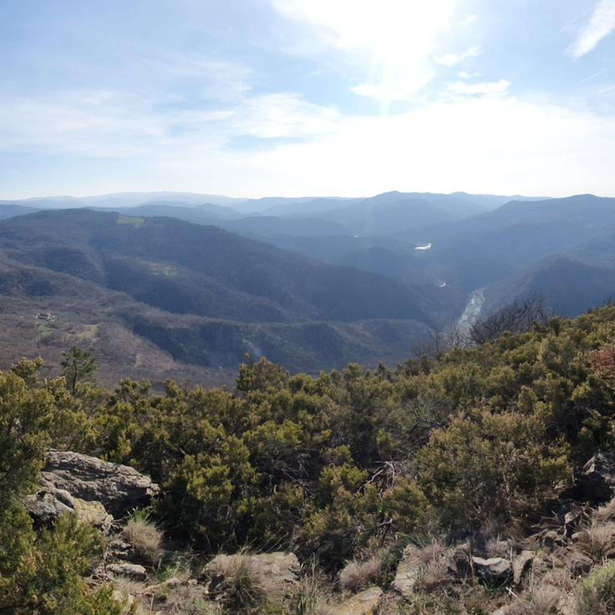
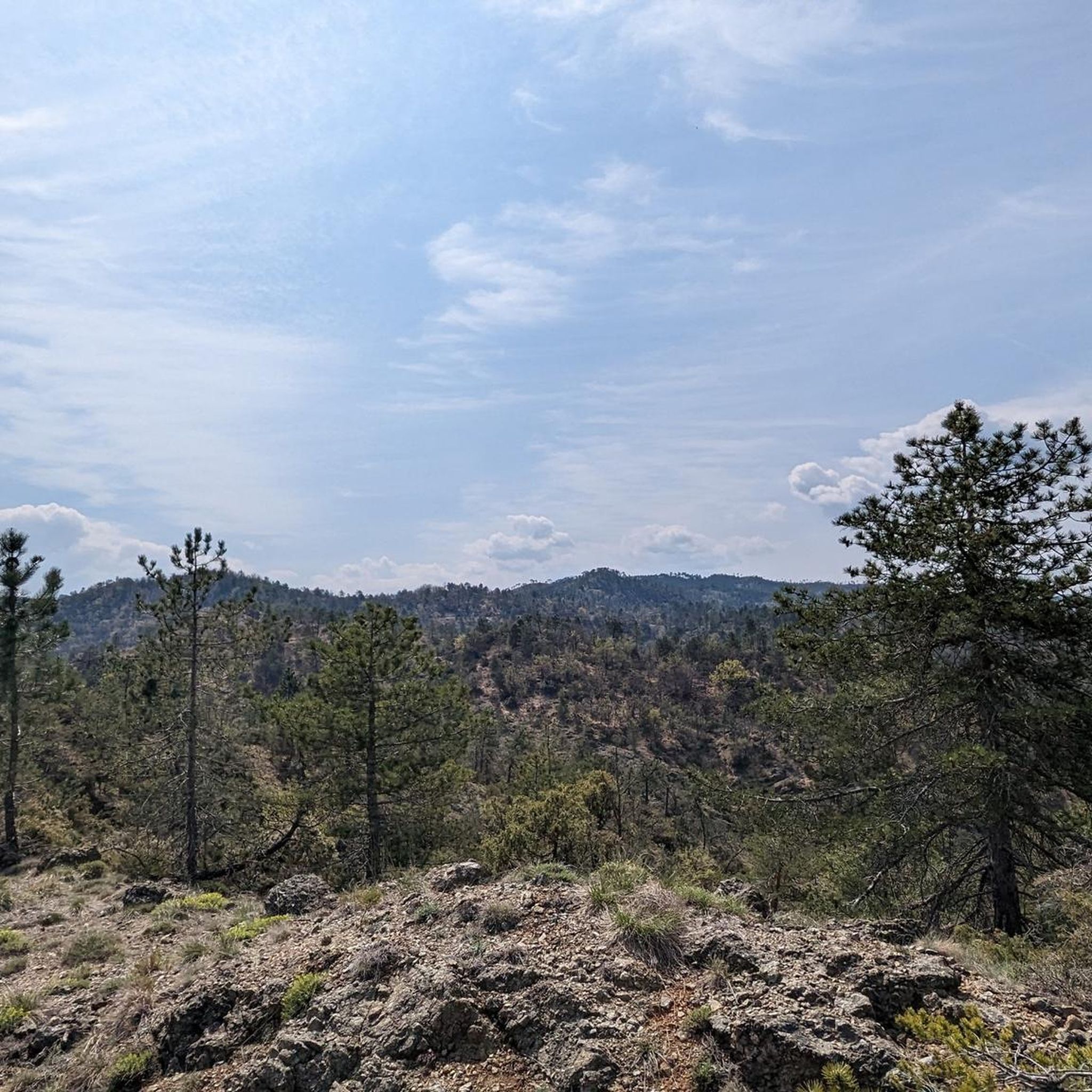
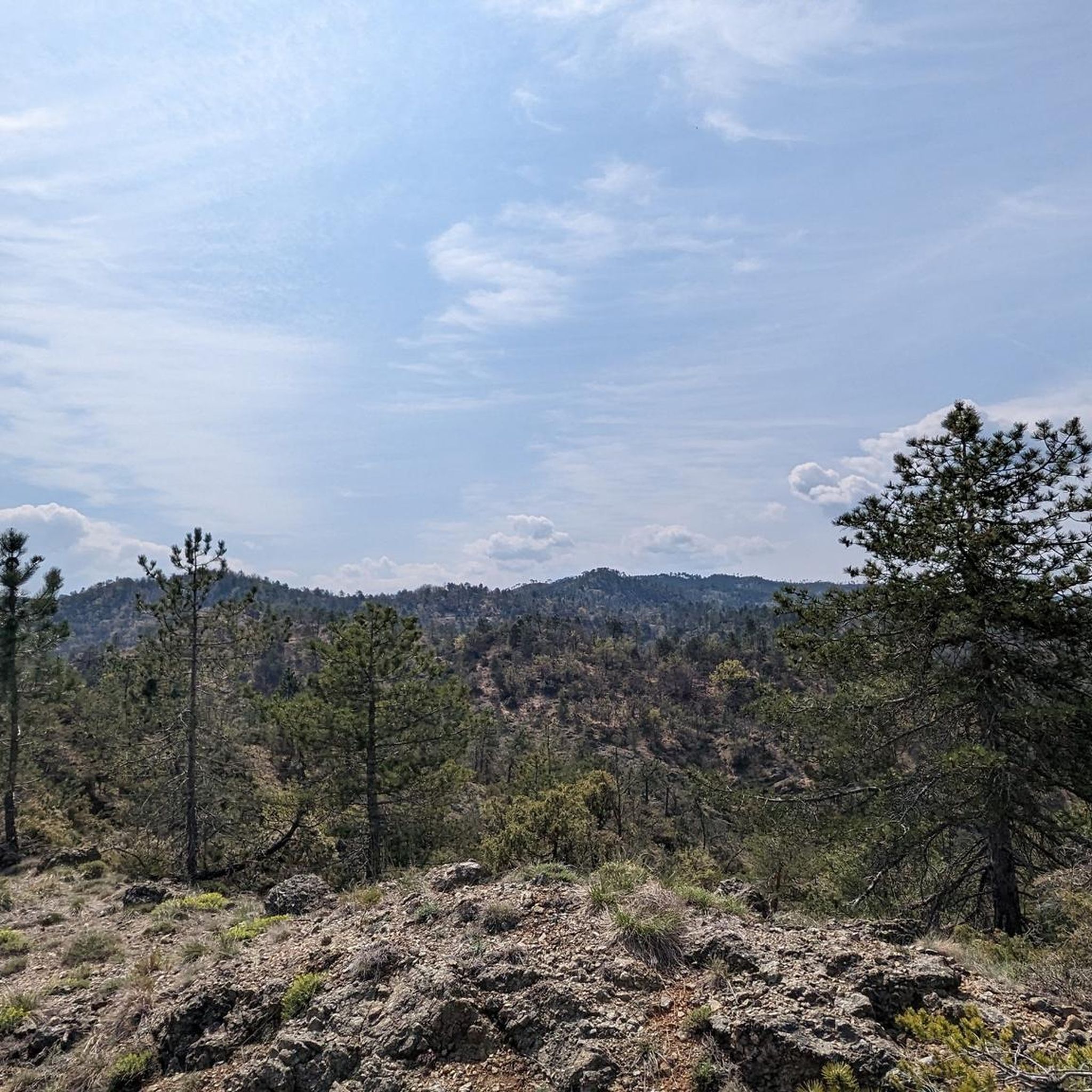
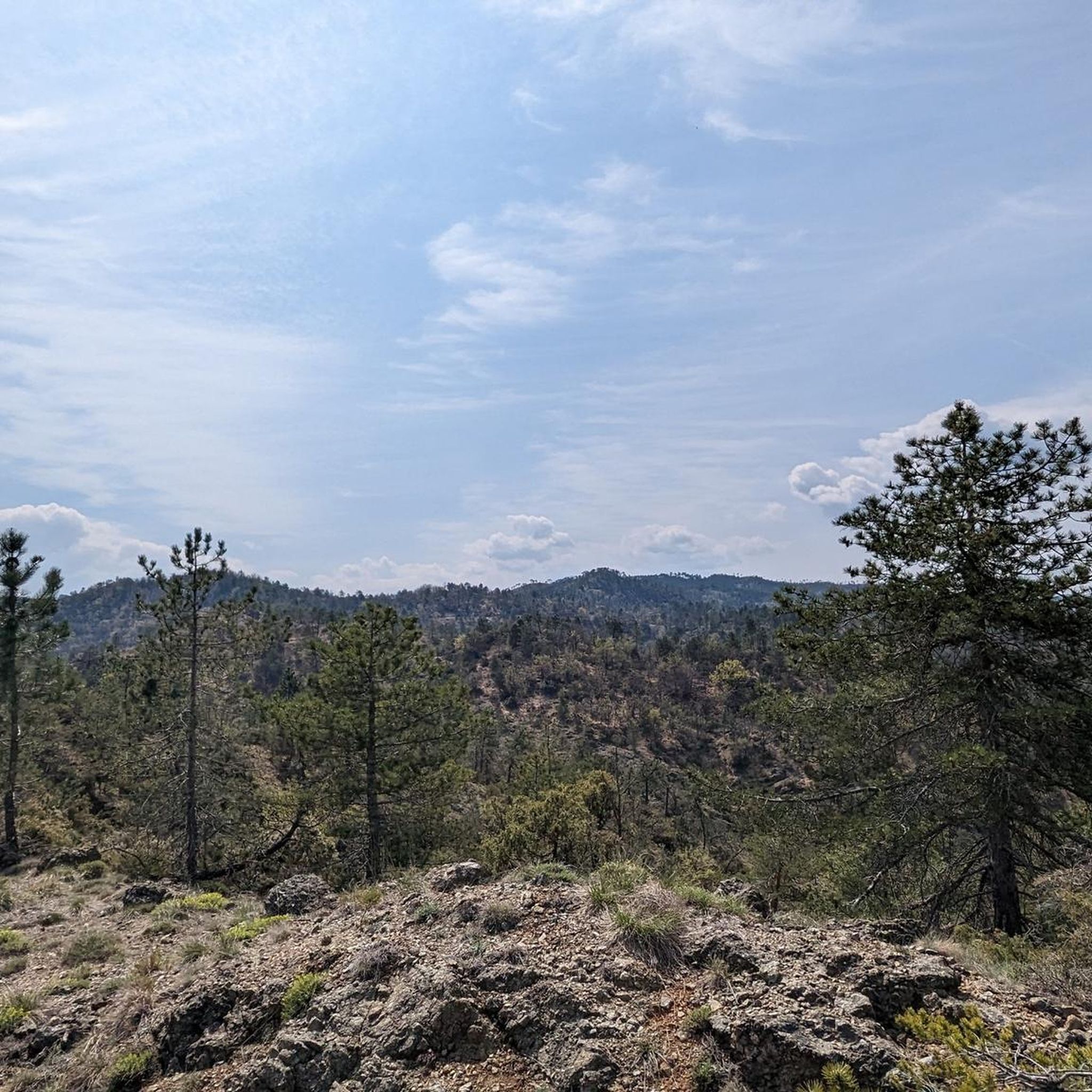

Other adventures around Rossiglione

Tips from the Community


The weather is not the best but the place is very beautiful
0
0
Despite the bad weather the place had a special charm
0
0


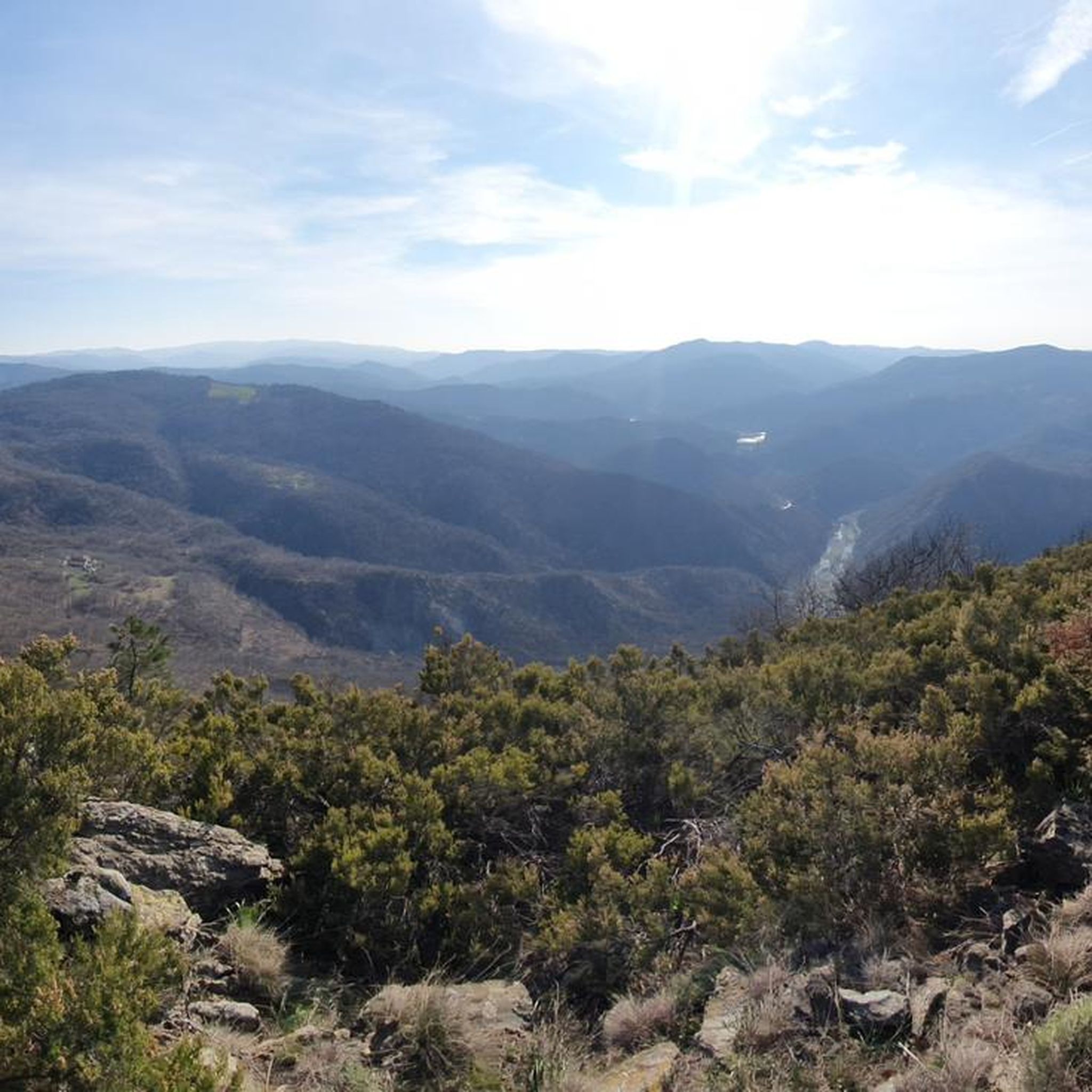
A barren and wild environment that is worth the effort of the challenging difference in altitude that is faced immediately at the beginning of the route, then the excursion continues along the crest on panoramic ups and downs that offer views of the sea and the surrounding peaks.
0
0

Alpine environment with splendid blooms in May. View from the sea to the Po Valley; the castles of Superba, Mount Beigua in the distance and the Gorzente lakes at the foot of this mountain. Advised.
0
0

From here you have a great view of what is around Monte Tobbio
0
0

Wonderful view from up here, with the refuge chapel useful in case of bad weather, or for warming up in case of low temperatures. There are various paths, usually you follow the 401 and from Voltaggio it takes about 3 hours of hiking
2
1
Frequently Asked Questions
Which mountain peaks around Rossiglione offer the best panoramic views?
For breathtaking panoramic views, consider visiting Monte Reixa, which provides expansive vistas from the Alps to the Ligurian Sea. Punta Martin Summit is also highly regarded for its splendid and accessible panoramic path. Additionally, Summit of Monte Figne offers a fantastic perspective of Monte Tobbio and the Mediterranean Sea.
Are there any unique natural attractions near Rossiglione besides mountain peaks?
Yes, the Val Gargassa is a significant natural wonder. It features a dramatic canyon with unique geological formations like intricately carved serpentinites and 'giant's kettles,' creating a landscape reminiscent of the 'Far West' with its reddish-brown rock and crystal-clear pools.
What kind of hiking trails can I find around Rossiglione's mountain peaks?
The region offers a variety of hiking trails, from moderate to challenging. You can explore routes like the 'Rossiglione - Monte Pracaban Trail' or the 'Monte Calvo Summit Trail from Gargassino' for panoramic views and wild landscapes. Many trails are within the Beigua Natural Regional Park, offering diverse terrain. For more details, check out the Hiking around Rossiglione guide.
What makes Monte Pracaban a notable peak to visit?
Monte Pracaban, standing at approximately 946-948 meters, is known for its expansive views stretching from the Alps to the Ligurian Sea. It features distinctive 'twin peaks,' one of which is marked by a pyramid of stones referred to as the 'dito del grande spirito' (finger of the great spirit). The Ligurian side is a Site of Community Interest, and its Piedmontese slopes are within the Capanne di Marcarolo Natural Park.
Is the Beigua Natural Regional Park accessible from Rossiglione?
Yes, Rossiglione provides direct access to the Beigua Natural Regional Park. This UNESCO Global Geopark is the largest protected area in Liguria, boasting an extraordinary geological heritage, rich biodiversity, and approximately 500 km of hiking trails. Many of the peaks and natural attractions mentioned are located within this park.
Are there any less strenuous mountain options for hikers seeking views near Rossiglione?
Monte Calvo offers a less strenuous option for those looking to experience the area's natural beauty and scenic overlooks. It is accessible via moderate hiking trails, providing rewarding panoramic views and a chance to immerse yourself in the wild Ligurian landscape without tackling the highest elevations.
What do visitors particularly enjoy about the mountain peaks around Rossiglione?
Visitors frequently praise the magnificent and breathtaking panoramas, especially from peaks like Monte Reixa, where the view takes your breath away and on clear days Corsica can be glimpsed. The diverse landscapes and the unique geological features, such as those found in Val Gargassa, are also highly appreciated.
Can I combine a visit to a mountain peak with other outdoor activities?
Absolutely. The area around Rossiglione offers various outdoor activities. Besides hiking to peaks, you can explore numerous cycling routes, including road cycling and touring bicycle options. For example, you can find routes like the 'Val Gargassa Loop' for hiking or the 'Passo del Turchino – View of Genoa loop' for cycling. More details are available in the Hiking around Rossiglione, Road Cycling Routes around Rossiglione, and Cycling around Rossiglione guides.
What is the best time of year to visit the mountain peaks near Rossiglione?
The region's mountain peaks can be enjoyed across different seasons, but spring and autumn generally offer pleasant temperatures and vibrant landscapes for hiking. During these times, you can experience the diverse flora and fauna without the intense heat of summer or the potential snow and ice of winter, though winter hiking can also be rewarding for experienced individuals.
Are there any historical or cultural points of interest near the mountain trails?
While the primary focus is natural beauty, some trails pass near points of interest. For instance, the route to Rocca Vaccaria mentions the Palazzina Tassara, a building dating back to 1935. The Beigua Natural Regional Park itself has a rich geological heritage, which forms a significant part of the region's natural history.
Are there any challenging mountain hikes for experienced trekkers?
Yes, for experienced trekkers, the area offers challenging routes. The Summit of Monte Figne, at 1172m, is noted for its technical path requiring excellent skills. The 'Rossiglione - Monte Pracaban Trail' is also classified as difficult, providing a substantial challenge for those seeking a more demanding experience.
What is the highest mountain within the Beigua Natural Regional Park?
The highest and most prominent mountain within the Beigua Natural Regional Park is Monte Beigua, which stands at 1287-1290 meters. It is also part of the Alta Via dei Monti Liguri (High Route of the Ligurian Mountains).
Most popular attractions around Rossiglione

Get inspired with the komoot mobile app


Explore more
See even more amazing summits around Rossiglione with these guides:
