The best MTB trails around Canegrate
4.3
(1114)
4,113
riders
12
rides
Mountain biking around Canegrate, located northwest of Milan in Lombardy, offers access to diverse natural areas. The region is characterized by its inclusion within the Parco del Roccolo, providing local trails with dirt roads, wooded sections, and countryside paths. While significant elevation changes are not common, some areas feature technical single-tracks suitable for cross-country mountain biking. Further afield, the extensive Parco Naturale Lombardo della Valle del Ticino offers numerous trails through fluvial forests and along the Ticino River.
Best mountain…
Last updated: September 30, 2026
4.4
(44)
179
riders
58.4km
03:30
180m
180m
Moderate mountain bike ride. Good fitness required. Suitable for all skill levels.
4.3
(20)
114
riders
72.3km
03:56
120m
120m
Moderate mountain bike ride. Good fitness required. Suitable for all skill levels.

4.4
(21)
88
riders
50.3km
02:59
120m
120m
Moderate mountain bike ride. Good fitness required. Suitable for all skill levels.
3.3
(7)
19
riders
28.8km
01:51
80m
80m
Easy mountain bike ride. Great for any fitness level. Suitable for all skill levels.
4.0
(3)
10
riders
37.6km
02:10
90m
90m
Moderate mountain bike ride. Good fitness required. Advanced riding skills necessary.
Get access to more routes and recommendations from other explorers.
Already have an account?
Our route recommendations are based on thousands of hikes, rides, and runs completed by other people on komoot.
Start today with a free account
Your next adventure awaits.
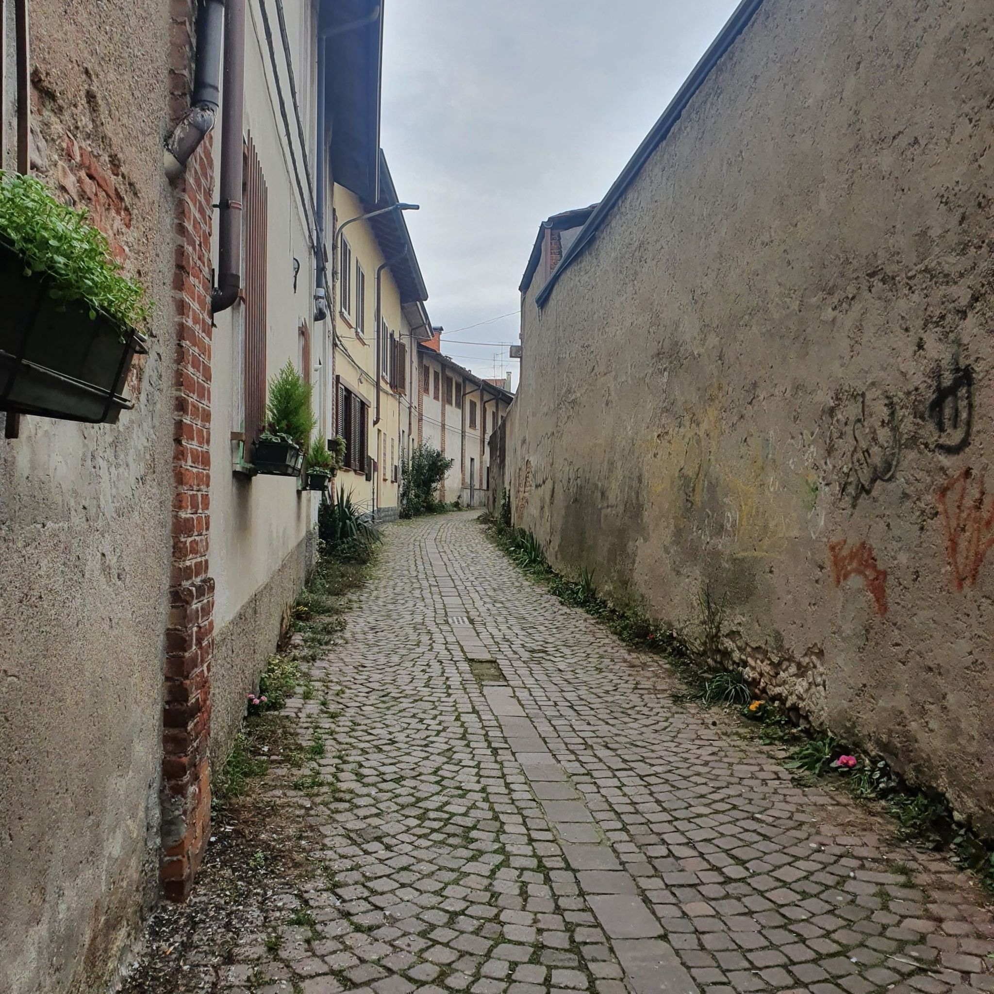
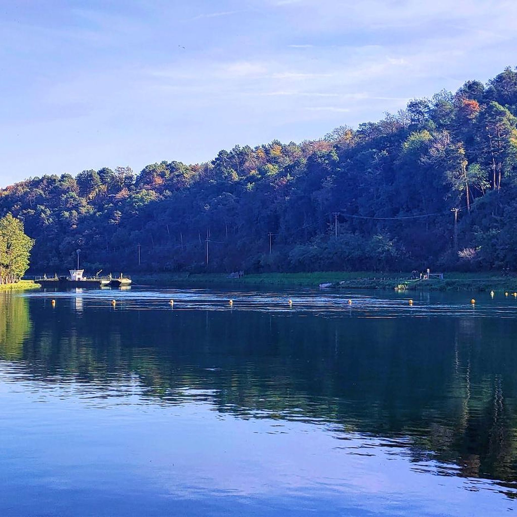

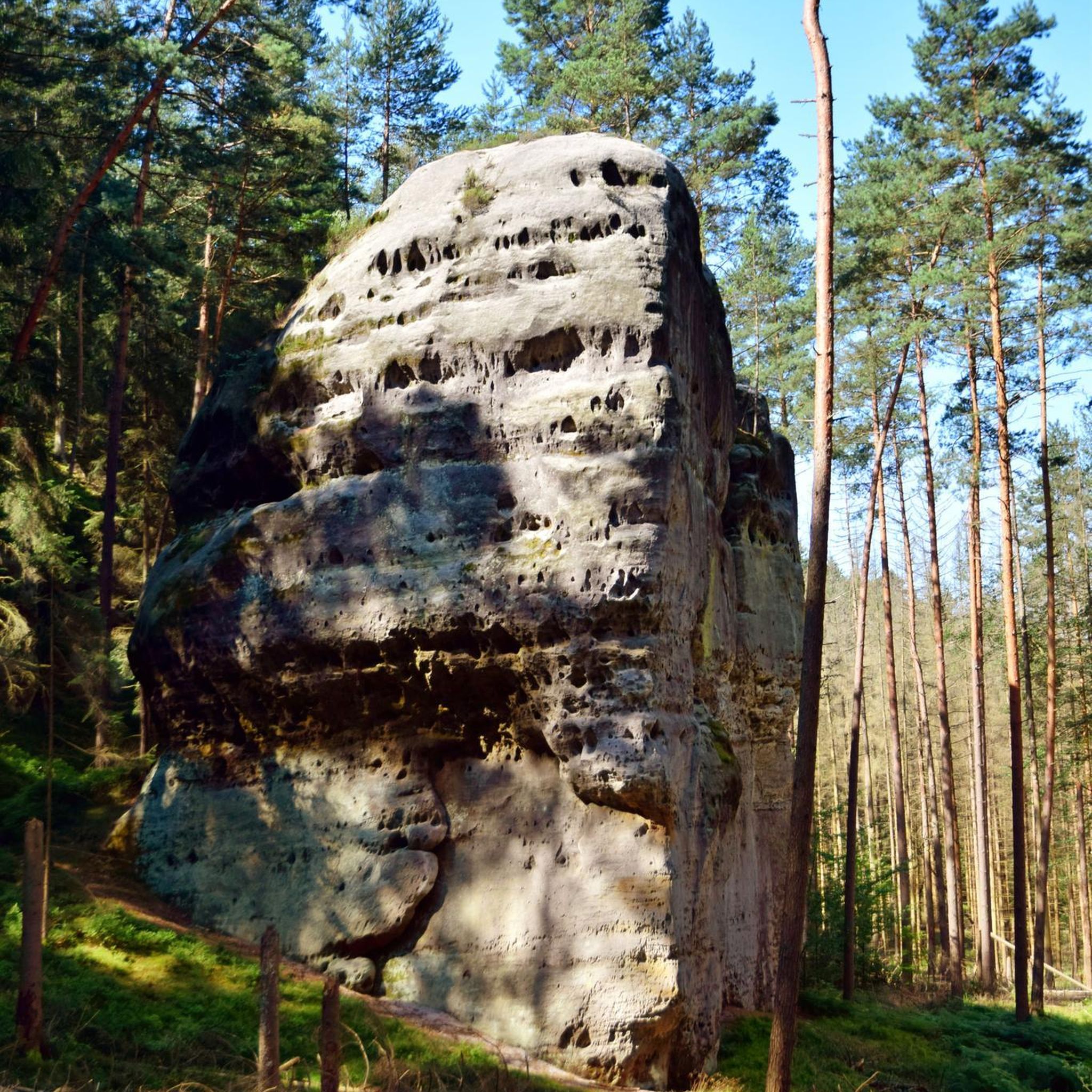
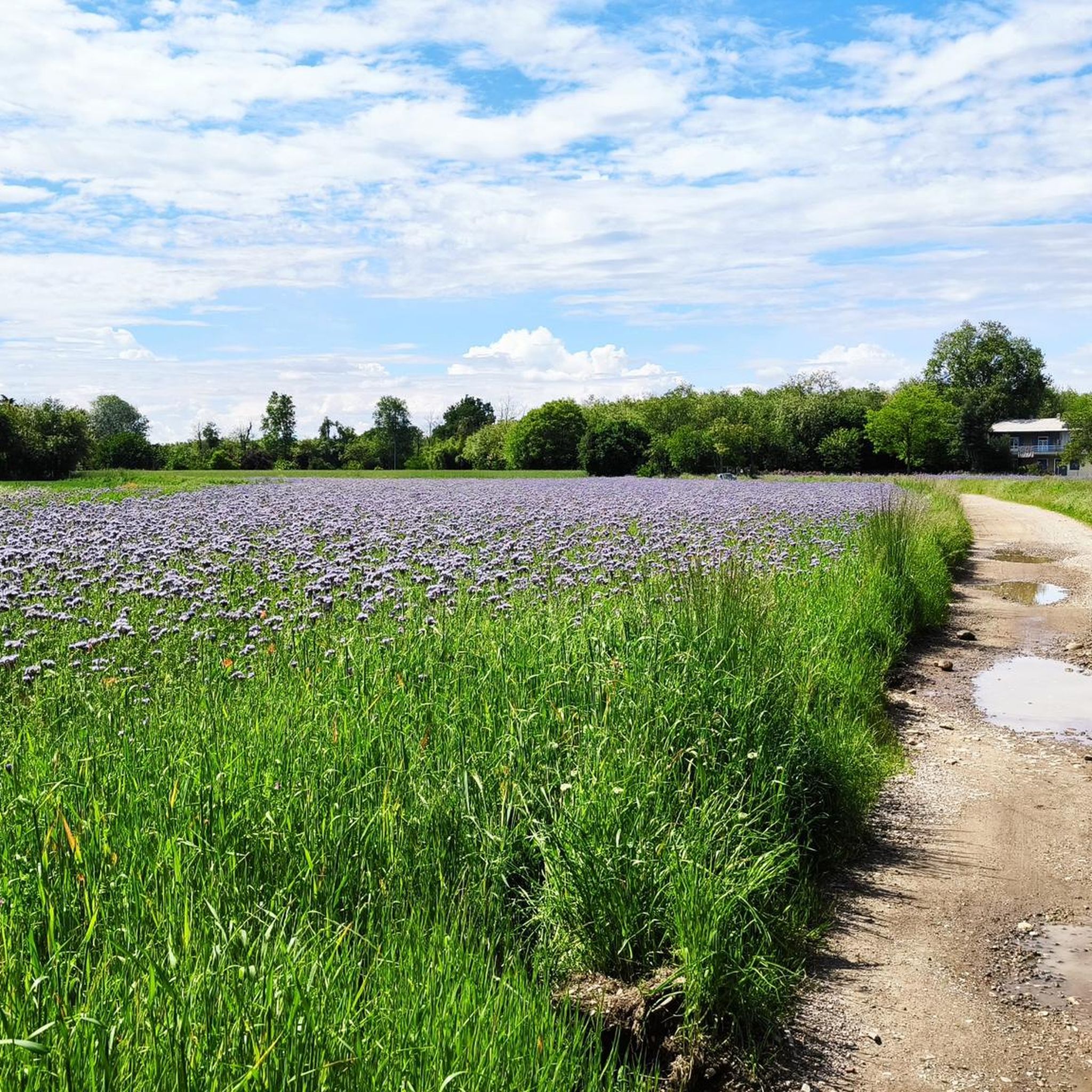
Tips from the Community

The Villoresi canal takes water from the river Ticino, in the locality of Panperduto, in the municipality of Somma Lombardo. After travelling 86 kilometers, through the provinces of Milan and Monza Brianza, it flows into the river Adda in the municipality of Cassano d’Adda. Construction work began in 1881 and was completed in 1891 to a design by Eugenio Villoresi. Originally intended exclusively for irrigation, following the crisis in crops related to silk production, the canal now allows water distribution in a plain area of approximately 85,000 hectares, through a network that totals around 3,000 kilometers. The paths, which are free of difficulties, accessible to everyone and certainly of interest, are part of the investments made to enhance the towpaths of the waterways, and are also considered a fast connection route between the various Municipalities bordering the canal.
1
0
The Villoresi Canal towpath connects Arese and the nearby municipalities via cycle paths and service roads, offering a convenient cycle-pedestrian route along the artificial canal that connects the Ticino and Adda rivers.
0
0
The Strada Alzaia Canale Villoresi is a service road of about 85-90 km that runs along the canal from Somma Lombardo (VA) to Cassano d'Adda (MI), managed by the Consorzio Est Ticino Villoresi. Although widely used by cyclists and walkers, it is not a proper cycle path but a road for mixed use and maintenance.
0
0
The Strada Alzaia Canale Villoresi is a service road of about 85-90 km that runs along the canal from Somma Lombardo (VA) to Cassano d'Adda (MI), managed by the Consorzio Est Ticino Villoresi. Although it is widely used by cyclists and walkers, it is not a real cycle path but a road for mixed use and maintenance.
0
0
The La Strada Alzaia Canale Villoresi in Nosate is one of the most picturesque, green, and unspoiled stretches of the Villoresi Canal Cycle Route, located in the metropolitan city of Milan. This specific segment is situated at the western end of the canal, a short distance from the point where the hydraulic infrastructure originates from the Ticino river.
0
0
The Strada Alzaia Canale Villoresi in the territory of Arconate is one of the most appreciated and frequented sections of the homonymous cycle path in western Lombardy. This specific segment offers an ideal escape into nature for cyclists, runners, and families.
0
0
The Villoresi canal draws water from the Ticino river, in the locality of Panperduto, in the municipality of Somma Lombardo. After traveling 86 kilometers, in the provinces of Milan and Monza Brianza, it flows into the Adda river in the municipality of Cassano d’Adda. Construction work began in 1881 and was completed in 1891 to a design by Eugenio Villoresi. Originally intended exclusively for irrigation purposes, following the crisis of crops connected with silk production, the canal now allows water distribution in a plain area of approximately 85,000 hectares, through a network that totals about 3,000 kilometers. The paths, free of difficulties, accessible to everyone and certainly of interest, are part of the investments made to enhance the towpaths of the waterways, and should also be considered a fast connection route between the various Municipalities bordering the canal.
1
0

The intersection between the Olona river and the Villoresi Canal occurs in the Alto Milanese area, specifically between the municipalities of Parabiago, Nerviano, and San Vittore Olona. This area is characterized by the intersection of local cycle paths (such as the Olona Greenway) and the long irrigation canal, offering naturalistic and historical routes.
1
0
Frequently Asked Questions
How many mountain bike trails are available around Canegrate?
There are nearly 20 mountain bike trails around Canegrate, offering a variety of experiences for different skill levels. These routes are highly rated by the komoot community, with an average score of 4.1 stars.
Are there mountain bike trails suitable for beginners or families in Canegrate?
Yes, Canegrate offers several easy mountain bike trails perfect for beginners or family outings. These routes often follow canal towpaths and countryside paths, providing a gentle introduction to mountain biking. For example, the Canale Villoresi – Path Along the Naviglio Grande loop from Canegrate is a moderate option that is relatively flat and scenic.
What kind of terrain can I expect on mountain bike trails near Canegrate?
Mountain biking around Canegrate primarily features dirt roads, wooded sections, and countryside paths, especially within the Parco del Roccolo. While significant elevation changes are not common, some areas offer enjoyable and technical single-tracks suitable for cross-country mountain biking. Many routes also utilize the historic Villoresi Canal towpaths, providing consistent surfaces.
Are there any challenging mountain bike routes for experienced riders?
Yes, for more experienced riders seeking a challenge, there are several difficult routes available. One such route is the Palazzo Archinto – Bereguardo Pontoon Bridge loop from Canegrate, which covers over 100 kilometers and includes varied terrain suitable for advanced mountain bikers.
Where can I find scenic views or natural attractions along the mountain bike trails?
The trails around Canegrate offer views of fluvial forests and countryside. You can also explore nearby natural attractions. For example, the Rosa Camuna Pond and the La Foppa Wetland (San Vittore Olona) are accessible from some routes and offer peaceful natural settings.
Are there any loop trails for mountain biking in Canegrate?
Many of the mountain bike trails around Canegrate are designed as loops, making them convenient for starting and ending at the same point. Examples include the popular Towpath of the Villoresi Canal – Villoresi Canal Cycle Path loop from Canegrate and the Villoresi Cycle Path🚲 – Villoresi Cycle Path🚲 loop from Canegrate.
What is the best time of year to go mountain biking in Canegrate?
The best time to go mountain biking in Canegrate is typically during spring and autumn when the weather is mild and the natural scenery is at its most vibrant. Summer can also be pleasant, especially in the wooded sections, but be mindful of higher temperatures.
Are there any bike parks or technical riding areas near Canegrate?
Yes, for those looking for more technical riding, there are bike parks and specific technical areas nearby. You can find highlights like Technical up-and-down trails 🚵 and a Small track: jumps, climbs, technical 🚵, as well as the Pump Track Lainate, which are great for practicing skills.
Can I access mountain bike trails in Canegrate using public transport?
Canegrate is a municipality with public transport connections, making it possible to reach the area. However, specific access points to mountain bike trails via public transport may require some planning. It's advisable to check local bus or train schedules and routes that connect to trailheads.
What are the typical lengths and elevation gains of mountain bike trails in Canegrate?
Trail lengths vary significantly, from shorter rides of around 35 kilometers to longer excursions exceeding 70 kilometers. Elevation gains are generally modest, often ranging from 90 to 240 meters, as the region is characterized by the high Po Valley. This makes many routes suitable for cross-country mountain biking without extreme climbs.
Are there places to eat or drink near the mountain bike routes in Canegrate?
Yes, as Canegrate is a populated area and the trails often pass through or near towns and villages, you can find various pubs, cafes, and restaurants to refuel after your ride. Many routes also follow canals, which often have amenities nearby.
What makes mountain biking in Canegrate unique compared to other regions?
Mountain biking in Canegrate is unique due to its integration into the Parco del Roccolo and its proximity to the extensive Parco Naturale Lombardo della Valle del Ticino. This offers a blend of local countryside paths, historic canal towpaths, and diverse fluvial forest trails, providing a distinct experience in the high Po Valley northwest of Milan.
Most popular routes around Canegrate
Most popular attractions around Canegrate

Get inspired with the komoot mobile app


Explore more
Browse the best MTB trails in other regions.
