The best walks and hikes around Petritoli
3.9
(23)
140
hikers
10
hikes
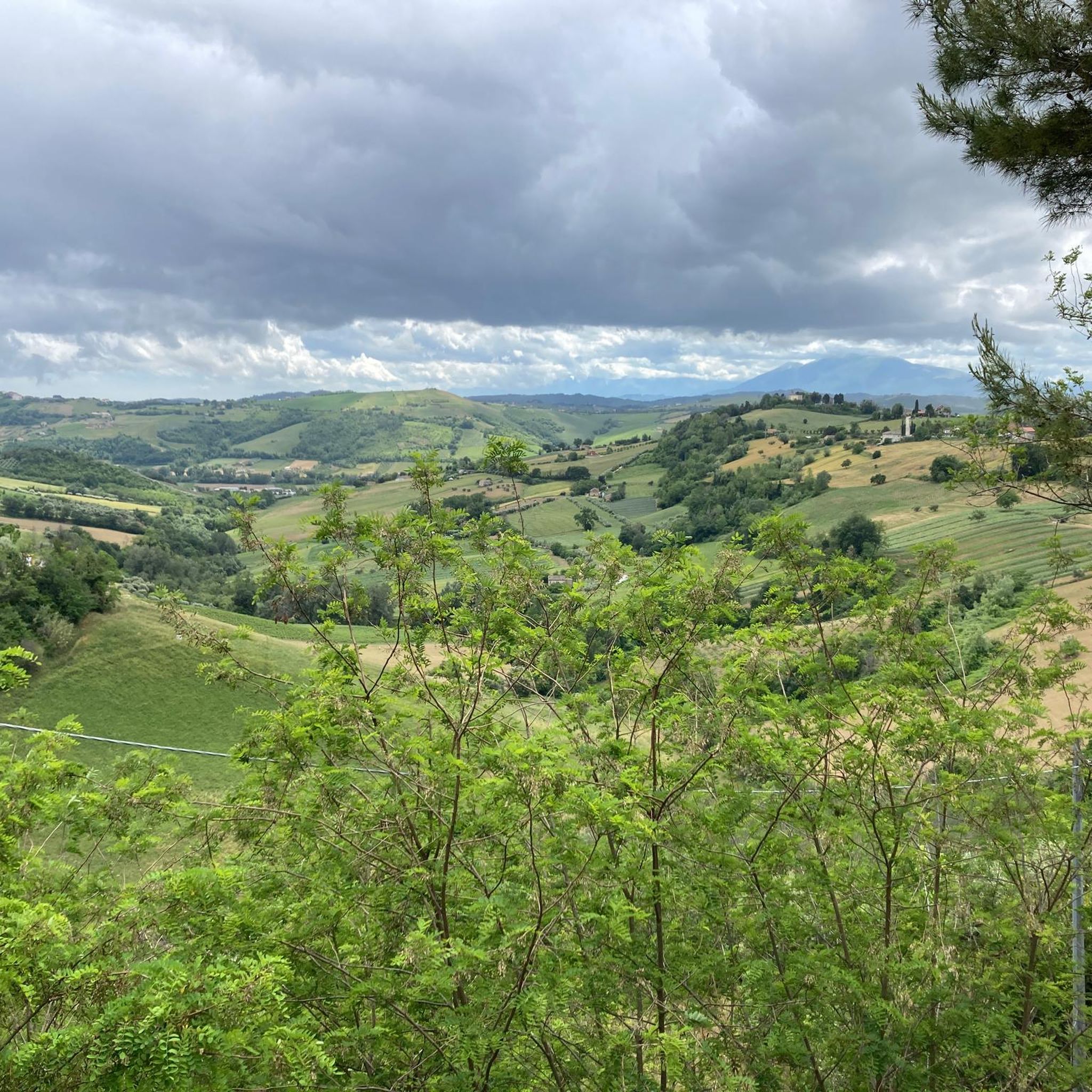
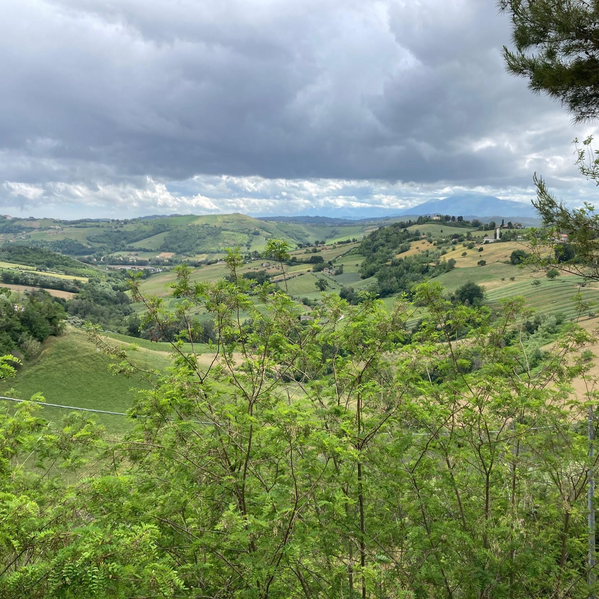
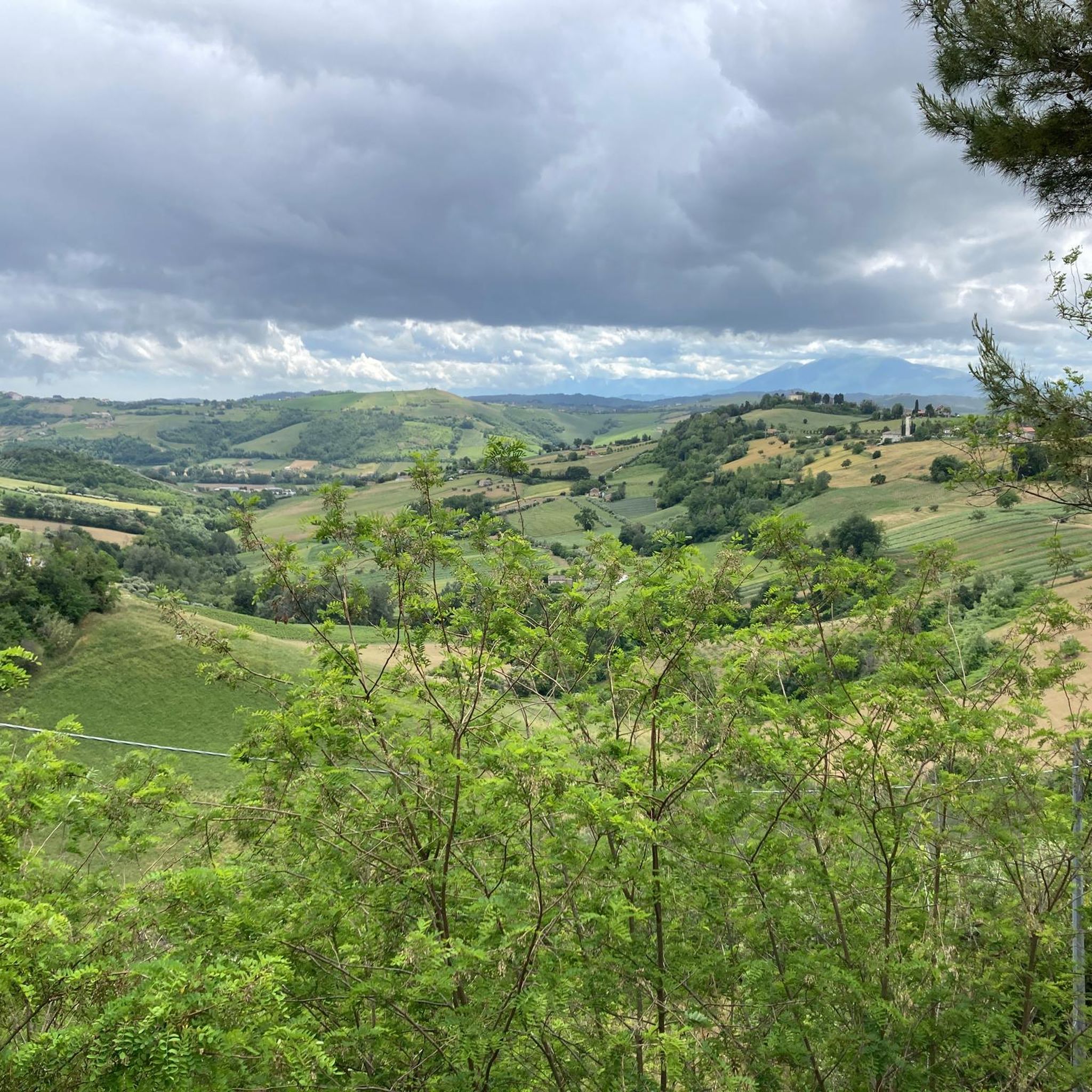
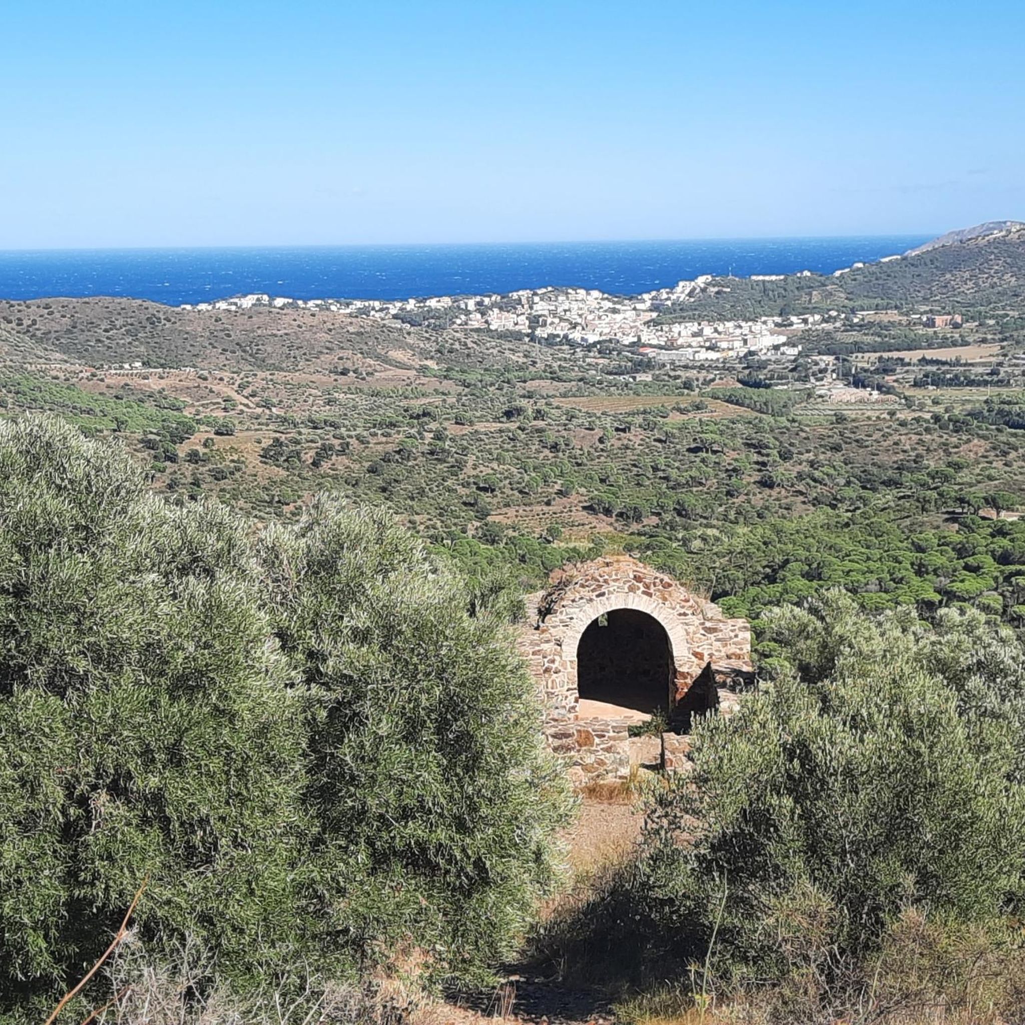
Hiking around Petritoli offers diverse landscapes characterized by rolling hills and fertile valleys in Italy's Marche region. The area provides panoramic vistas stretching from the Sibillini Mountains to the Adriatic coast. Trails wind through cultivated fields, vineyards, and olive groves, offering varied topography for hikers. Petritoli's elevated position and proximity to the Aso Valley provide expansive views of the surrounding countryside.
Best hiking trails around Petritoli
- The most popular hiking route is View of the Adriatic Sea loop from Ripatransone…
Last updated: May 11, 2026
3.6
(9)
28
hikers
4.99km
01:29
160m
150m
Easy hike. Great for any fitness level. Easily-accessible paths. Suitable for all skill levels.
3.7
(3)
33
hikers
3.95km
01:00
10m
10m
Easy hike. Great for any fitness level. Easily-accessible paths. Suitable for all skill levels.

Sign up for free
4.8
(4)
6
hikers
6.37km
01:56
220m
220m
Easy hike. Great for any fitness level. Easily-accessible paths. Suitable for all skill levels.
11
hikers
4.45km
01:17
110m
110m
Easy hike. Great for any fitness level. Easily-accessible paths. Suitable for all skill levels.
3.0
(1)
6
hikers
7.85km
02:19
230m
230m
Moderate hike. Good fitness required. Easily-accessible paths. Suitable for all skill levels.
Get access to more routes and recommendations from other explorers.
Sign up for free
Already have an account?
Our route recommendations are based on thousands of hikes, rides, and runs completed by other people on komoot.
Start today with a free account
Your next adventure awaits.
Login or Signup
Tips from the Community

Ripatransone is a municipality in the Ascoli area and one of the oldest villages.
0
0

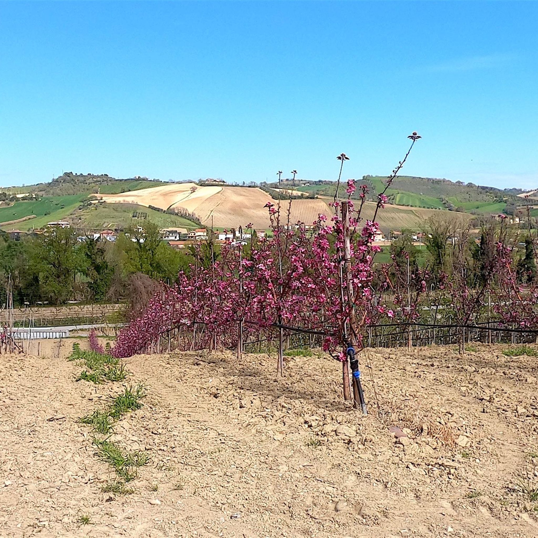
Ideal to visit in spring. The colors of nature are reflected at every step.
0
0
A place to get in touch with nature
0
0

Beautiful village with breathtaking views
1
0

Ripatransone, located on a hill at almost 500 meters, is also called Belvedere del Piceno for the wide panoramic view it offers. Its historic center is full of monuments and places of interest, including the Cathedral, the Palazzo Comunale, the Mercantini Theater, and one of the narrowest alleys in Italy.
2
0

In this stretch, the Tenna river (which starts from the Sibillini Mountains) has a very low water flow. It is therefore also possible to access the bank under the bridge.
1
0

After the climb, a first option to rest in Ripatransone.
0
0
Beautiful panoramic view and boules pitch under the trees.
0
0
Frequently Asked Questions
How many hiking trails are available around Petritoli?
There are 8 hiking routes around Petritoli, offering diverse landscapes from rolling hills to fertile valleys. These trails are highly rated by the komoot community, with an average score of 3.9 stars.
What kind of difficulty levels can I expect on Petritoli's hiking trails?
The trails around Petritoli cater to various skill levels. You'll find 4 easy routes and 4 moderate routes, with no difficult trails, making the area accessible for both casual walkers and those looking for a bit more challenge. The terrain often features rolling hills and varied topography.
Are there family-friendly hiking options near Petritoli?
Yes, Petritoli offers several family-friendly hiking options, particularly among its 4 easy-rated routes. These trails often wind through cultivated fields and olive groves, providing pleasant walks suitable for all ages. For instance, the Hiking loop from Ripatransone is an easy option.
Can I bring my dog on the hiking trails around Petritoli?
Most hiking trails in the Petritoli region are dog-friendly, allowing you to explore the scenic Marche countryside with your canine companion. It's always a good idea to keep your dog on a leash, especially when passing through agricultural areas or near livestock.
Are there any circular hiking routes in the Petritoli area?
Yes, many of the trails around Petritoli are designed as circular routes, offering convenient starting and ending points. Examples include the popular View of the Adriatic Sea loop from Ripatransone and the Panoramic View of the Valley loop from Cossignano.
What kind of views and natural features can I expect to see while hiking near Petritoli?
Hikers around Petritoli can expect breathtaking panoramic views that stretch from the Sibillini Mountains to the Adriatic coast. The trails traverse diverse landscapes including rolling hills, fertile valleys, vineyards, and olive groves. The elevated position of Petritoli itself, and nearby locations like Ripatransone, offer expansive outlooks over the Marche countryside.
What interesting landmarks or attractions can I find along the hiking routes?
The region around Petritoli is rich in charming medieval villages and historical sites. You might encounter places like Moresco Historic Village or the Ripatransone Historic Center and City Walls. The Piazza del Popolo, Fermo – View of Lapedona loop from Fermo route, for example, takes you past the notable Piazza del Popolo in Fermo.
What is the best time of year to go hiking in Petritoli?
The Petritoli region offers beautiful hiking experiences throughout much of the year. Spring and autumn are particularly pleasant, with mild temperatures and the countryside displaying vibrant colors. Summer can be warm, but early mornings or late afternoons are still enjoyable. The landscape changes beautifully with the seasons, offering different scenic experiences.
Are there options for parking near the trailheads in Petritoli?
Yes, parking is generally available in or near the towns and villages that serve as starting points for the hiking trails around Petritoli. For specific routes, it's advisable to check the komoot tour details for information on recommended parking spots.
How long do hikes around Petritoli typically take?
Hiking durations vary depending on the route and your pace. For example, an easy trail like the View of the Adriatic Sea loop from Ripatransone is about 3.1 miles (5.0 km) and takes around 1 hour 29 minutes. Moderate routes, such as the Panoramic View of the Valley loop from Cossignano, cover about 5.7 miles (9.2 km) and can take approximately 2 hours 42 minutes.
What do other hikers enjoy most about hiking in Petritoli?
The area is highly rated by the komoot community, with an average score of 3.9 stars from over 20 reviews. Hikers often praise the stunning panoramic views of the Marche countryside, the varied terrain through rolling hills and valleys, and the charm of the picturesque medieval villages encountered along the way.
Are there any less crowded hiking trails if I prefer solitude?
While Petritoli's trails are generally not overly crowded, for a more tranquil experience, consider exploring some of the less-trafficked routes that venture deeper into the Aso Valley's cultivated fields and olive groves. The region offers a network of paths that allow for peaceful walks away from more popular spots.
Most popular attractions around Petritoli

Get inspired with the komoot mobile app


Explore more
Browse the best Hikes in other regions.
