The best road cycling routes around Stein-Wingert
4.7
(385)
2,258
riders
260
rides
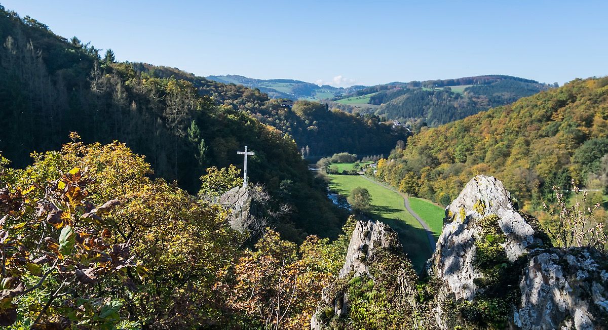
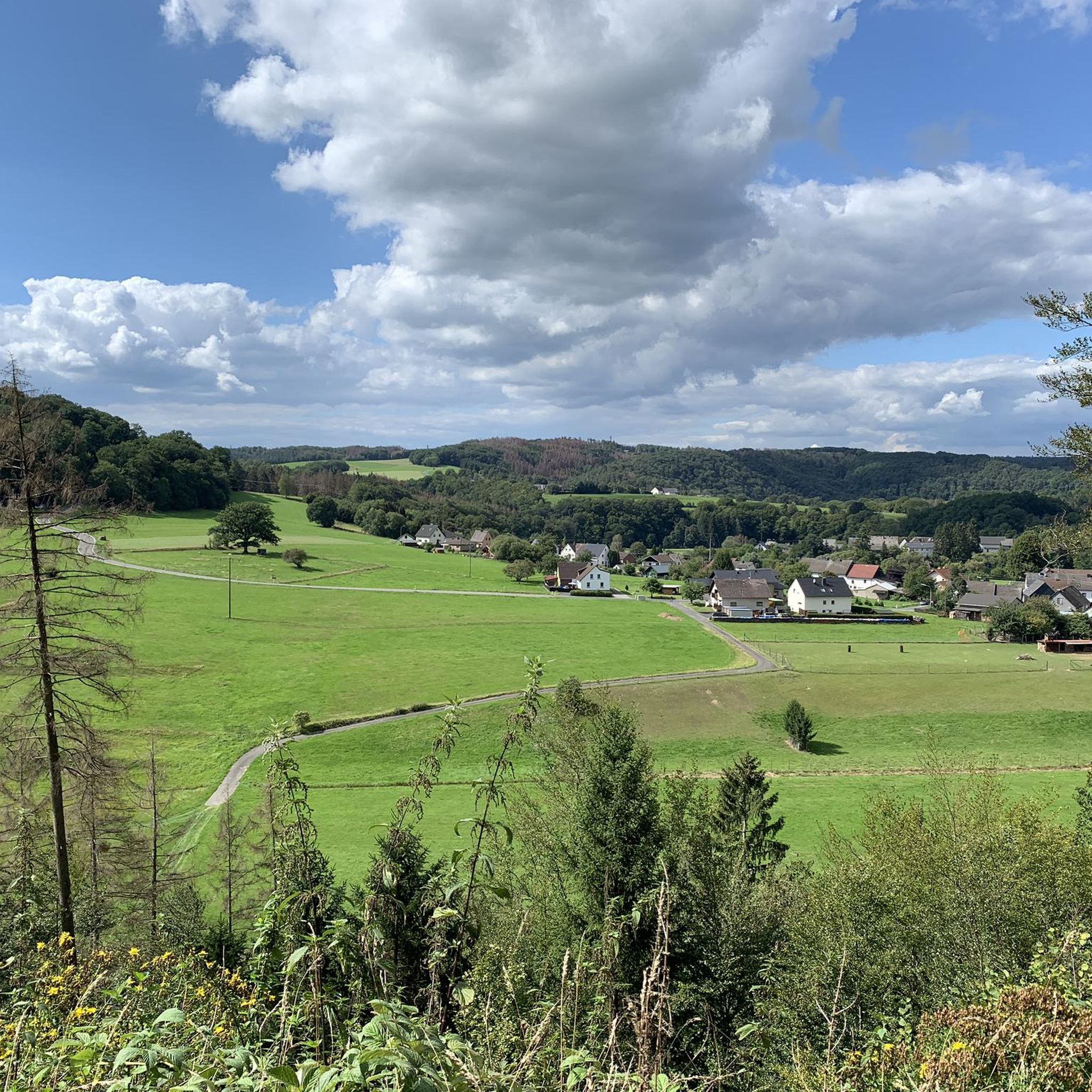
Road cycling routes around Stein-Wingert are characterized by a landscape of river valleys, rolling hills, and forested sections. The region offers varied terrain suitable for road cyclists, with routes often following the contours of the Sieg and Nister rivers. Elevation gains on many routes indicate a consistently undulating profile, providing a mix of climbs and descents.
Best road cycling routes around Stein-Wingert
- The most popular road cycling route is View of the Sieg River – Wisserbach Riverside Landscape loop from…
Last updated: August 28, 2026
4.3
(15)
53
riders
37.4km
01:42
400m
400m
Moderate road ride. Good fitness required. Mostly well-paved surfaces and easy to ride.
5.0
(3)
32
riders
Moderate road ride. Good fitness required. Some segments of this route may be unpaved and difficult to ride.

Sign up for free
16
riders
47.2km
02:18
590m
590m
Moderate road ride. Good fitness required. Mostly well-paved surfaces and easy to ride.
7
riders
43.7km
01:57
420m
420m
Moderate road ride. Good fitness required. Mostly well-paved surfaces and easy to ride.
5.0
(1)
9
riders
36.1km
01:37
350m
350m
Moderate road ride. Good fitness required. Mostly well-paved surfaces and easy to ride.
Get access to more routes and recommendations from other explorers.
Sign up for free
Already have an account?
Our route recommendations are based on thousands of hikes, rides, and runs completed by other people on komoot.
Start today with a free account
Your next adventure awaits.
Login or Signup

Other adventures around Stein-Wingert

Tips from the Community

simply beautiful here!
1
0

Information is available here: https://de.m.wikipedia.org/wiki/Christuskirche_(Altenkirchen)
1
0
Information is available here: https://naturregion-sieg.de/poi/raiffeisen-denkmal
1
0
The Raiffeisen Museum is also located here. Information is available here: https://www.raiffeisen-gesellschaft.de/content/Raiffeisen_Gesellschaft-MS/de/homepage/Raiffeisen_besuchen/begegnungszentrum_weyerbusch.html
1
0

Pharmacy is unfortunately closed.
0
0
Pharmacy is now closed.
0
0
Beautiful, shady location at the confluence of the Almersbach and Wied, bench nearby. People have been making pilgrimages here since the 13th century through a ford. The beautifully situated Almersbach church with late Romanesque origins stands enthroned above.
1
0

The Privileged Pharmacy, built in 1730, is located in the pedestrian zone. It is well preserved and an eye-catcher. The first pharmacy was founded in Altenkirchen in 1699 and has stood in the same place ever since.
0
0
Frequently Asked Questions
How many road cycling routes are available around Stein-Wingert?
There are over 270 road cycling routes around Stein-Wingert. The region offers a diverse network, with options ranging from easy to difficult, catering to various skill levels.
Are there easy road cycling routes suitable for beginners in Stein-Wingert?
Yes, Stein-Wingert offers several easy road cycling routes perfect for beginners. One such route is the Nister Valley – View of the Sieg River loop from Mörsbach, which covers 21.6 km with moderate elevation gain, making it a good starting point.
What kind of terrain can I expect on road cycling routes in Stein-Wingert?
Road cycling routes in Stein-Wingert are characterized by a mix of river valleys, rolling hills, and forested sections. You'll find routes often following the contours of the Sieg and Nister rivers, providing a consistently undulating profile with both climbs and descents.
Are there any challenging road cycling routes for advanced riders?
Yes, for advanced riders seeking a challenge, Stein-Wingert has 77 difficult routes. These routes typically feature significant elevation gains and longer distances, providing a demanding experience. While specific advanced routes are not detailed here, you can find many options on komoot.
What are some scenic viewpoints or natural attractions along the road cycling routes?
Many routes offer scenic views. For instance, the View of the Sieg River – Wisserbach Riverside Landscape loop from Roth provides beautiful riverside vistas. You can also explore natural monuments like the Rosenheimer Lay Basalt Lake or the Limbach Gorge (Little Nister Gorge), which are often accessible from nearby routes.
Are there any historical landmarks or castles to see while road cycling?
Absolutely. The region around Stein-Wingert is home to several historical sites. You might encounter places like Hachenburg Old Town and Market Square or the Schönstein Castle. Some routes, like the Barbaraturm Observation Tower – Elkenrother Weiher loop from Fensdorf, pass by notable structures like the Barbaraturm Observation Tower.
What do other road cyclists enjoy most about road cycling in Stein-Wingert?
The komoot community highly rates road cycling in Stein-Wingert, with an average score of 4.7 stars from over 380 reviews. Cyclists often praise the varied terrain, the scenic river valleys, and the well-maintained routes that offer a good mix of challenges and enjoyable rides.
Are there any circular road cycling routes available?
Yes, many of the road cycling routes around Stein-Wingert are designed as loops. Examples include the Ingelbach Station – Raiffeisen Tower at Beulskopf loop from Ingelbach, which offers a substantial 47 km circular ride, and the Altenkirchen signal box – Wied Bridge near Almersbach loop from Ingelbach.
What is the typical duration for road cycling routes in this area?
The duration of routes varies significantly. Shorter, easy routes might take around 1.5 hours, while moderate routes often range from 1.5 to 2.5 hours. Longer, more challenging routes can extend to 3 hours or more, depending on your pace and the specific route's distance and elevation.
Are there options for family-friendly road cycling routes?
While many routes feature rolling hills, there are easier options that families might find suitable, especially those with less elevation gain. It's best to look for routes marked as 'easy' in the komoot app, which typically have smoother surfaces and gentler gradients, though specific dedicated 'family-friendly' routes are not explicitly highlighted in the data.
When is the best time of year for road cycling in Stein-Wingert?
The spring, summer, and early autumn months generally offer the best conditions for road cycling in Stein-Wingert. During these seasons, the weather is typically mild, and the natural scenery is at its most vibrant, making for pleasant rides through the river valleys and forested areas.
Most popular routes around Stein-Wingert
Most popular attractions around Stein-Wingert

Get inspired with the komoot mobile app


Explore more
Browse the best Road cycling routes in other regions.
