The best walks and hikes around Steinsfeld
4.6
(436)
1,517
hikers
53
hikes
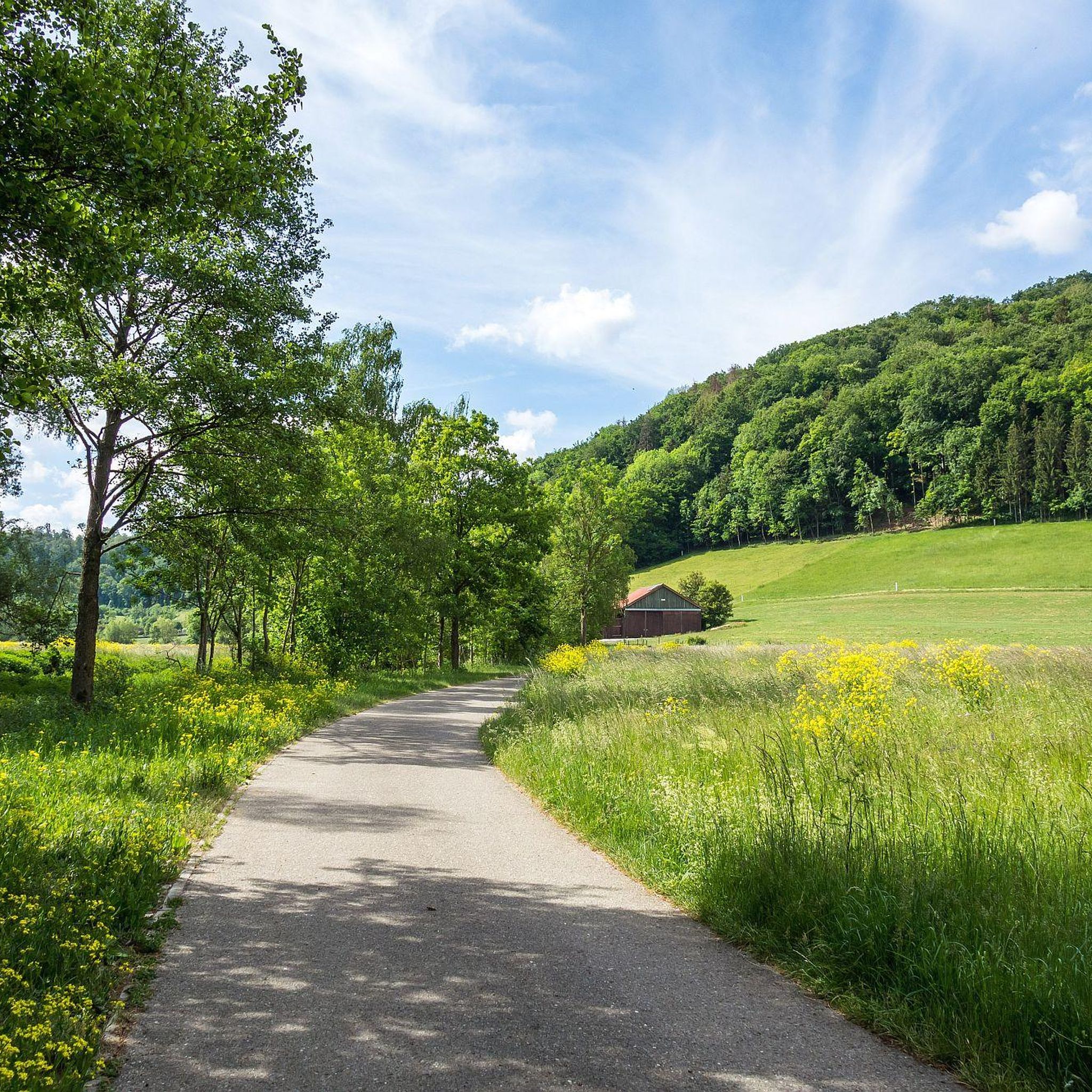
Hiking around Steinsfeld offers diverse landscapes, characterized by the picturesque Tauber Valley and the broader Frankenhöhe region. The area features river valleys, natural monuments, and accessible trails leading to tranquil settings like the Lindlein lakes. This varied topography provides a range of hiking experiences for different skill levels.
Best hiking trails around Steinsfeld
- The most popular hiking route is Circular hiking trail LT 30 Beer hiking trail Landwehr-Bräu, a 6.7 miles (10.9 km) moderate trail that takes 2 hours…
Last updated: October 9, 2026
4.2
(25)
92
hikers
10.9km
02:47
50m
50m
Moderate hike. Good fitness required. Easily-accessible paths. Suitable for all skill levels.
4.8
(53)
130
hikers
Moderate hike. Good fitness required. Easily-accessible paths. Suitable for all skill levels.

4.3
(26)
92
hikers
Moderate hike. Good fitness required. Easily-accessible paths. Suitable for all skill levels.
4.5
(19)
54
hikers
Easy hike. Great for any fitness level. Easily-accessible paths. Suitable for all skill levels.
4.7
(57)
179
hikers
Hard hike. Very good fitness required. Easily-accessible paths. Suitable for all skill levels.
Get access to more routes and recommendations from other explorers.
Already have an account?
Our route recommendations are based on thousands of hikes, rides, and runs completed by other people on komoot.
Start today with a free account
Your next adventure awaits.

Other adventures around Steinsfeld

Tips from the Community

Coming from the Rubachtal valley, you can see the remains of the former Gattenhofen swimming pool on the left, immediately before the bridge.
0
0

The lake is very natural with a beautiful reed belt. During smaller gusts, branches fall from the old trees. Maybe they have reached the end of their lifespan and it should be thinned out. As you can see in the picture, it is so quiet there that not even the small grass snake can be startled.
0
0

Here the Tauber is truly a very idyllic little river. A bit off the beaten track up in the town.
1
0

Bird sanctuary Großer and Kleiner Lindleinsee – Wikipedia https://share.google/Lnm1dnrjN4pPywRKw
2
0
Bird sanctuary Großer and Kleiner Lindleinsee – Wikipedia https://share.google/Lnm1dnrjN4pPywRKw
3
0

There are many places from which you have a great view of Rothenburg ob der Tauber, but I find the view of the medieval town, with its unique silhouette and towers, most beautiful from the Tauber Valley or from Engelsburg Castle.
2
0

Breathtakingly beautiful, medieval old town including battlements, accessible for several kilometers
8
0

During my visit, it had little water or was partially drained. In any case, a very quiet location with a beautiful trail on the western edge.
0
0
Frequently Asked Questions
How many hiking trails are available around Steinsfeld?
Steinsfeld offers a wide variety of hiking opportunities, with over 50 trails to explore. These include 27 easy routes, 24 moderate paths, and 5 more challenging trails, catering to all skill levels.
What kind of landscapes can I expect to see while hiking in Steinsfeld?
The region around Steinsfeld is characterized by diverse and picturesque landscapes. You'll find the serene Tauber Valley with its gentle river, tranquil settings around the Lindlein lakes, and the broader Frankenhöhe region. The area also features natural monuments, canyons, and mountain peaks, offering varied topography.
Are there any easy, family-friendly hikes in Steinsfeld?
Yes, Steinsfeld has several easy trails suitable for families. A great option is the Rest area at Lindleinsee – Lindleinsee loop from Vogelfreistätte Großer und Kleiner Lindleinsee, which is an easy 3.9 km loop perfect for a relaxed outing near the beautiful Lindleinsee.
What do other hikers say about the trails in Steinsfeld?
The hiking trails in Steinsfeld are highly regarded by the komoot community, holding an average rating of 4.6 stars from over 300 reviews. Hikers often praise the diverse natural scenery, well-maintained paths, and the tranquil atmosphere of the region.
Are there any circular hiking routes in the area?
Yes, many routes around Steinsfeld are circular, offering convenient starting and ending points. For example, the Circular hiking trail LT 30 Beer hiking trail Landwehr-Bräu is a moderate 10.9 km loop that combines natural beauty with local points of interest.
What natural attractions can I explore near Steinsfeld?
Steinsfeld is surrounded by beautiful natural attractions. You can visit the tranquil Large Lindleinsee or the Rest area at Lindleinsee. For those interested in the source of rivers, the Source of the Altmühl (Hornauer Pond) is also nearby.
Are there any notable viewpoints or mountain peaks to hike to?
Absolutely. The region offers several elevated points with rewarding views. You can hike to the Summit cross on the Petersberg or enjoy the View from Kreuzlesberg. For a more challenging ascent, consider the Landsknecht Summit (534 m), which is the highest point of the Northern Frankenhöhe.
Can I find trails that explore river valleys or nature reserves?
Yes, the area is rich in river valleys and nature reserves. The Saubachtal Nature Trail – Steinbächlein Ford loop from Vogelfreistätte Großer und Kleiner Lindleinsee is a moderate 8.2 km path that takes you through the scenic Saubachtal valley and past the Lindleinsee nature reserve.
Are there any longer, more challenging hikes for experienced trekkers?
For experienced hikers seeking a longer challenge, the Steinbachtal Valley – Wobbly Bridge at the Fuchsmühle loop from Burg Seldeneck is a difficult 26.3 km route. This trail offers significant elevation changes and a rewarding long-distance trekking experience.
What is the 'Franconian Fjord Lake' mentioned in some routes?
The 'Franconian Fjord Lake' refers to a picturesque area, often associated with the former Gypsum Quarry near Steinsfeld, which has been reclaimed by nature. You can explore this unique landscape on the Gypsum Quarry Steinfeld – Franconian Fjord Lake loop from St. Konrad, a moderate 11.2 km trail.
Is Steinsfeld part of any long-distance hiking trails?
Yes, Steinsfeld is situated within a region that boasts several significant long-distance hiking routes. Sections of the famous Romantic Road, a well-known German holiday route, pass through the area. The expansive European Long Distance Trail E8 also traverses Germany in this general vicinity, providing extensive trekking options.
What is the 'Panoramaweg Taubertal' and how does it relate to Steinsfeld?
The 'Panoramaweg Taubertal' is an excellent quality path for hiking, stretching from Rothenburg ob der Tauber to Freudenberg am Main. While not directly starting in Steinsfeld, the town's proximity to Rothenburg ob der Tauber means hikers can easily access sections of this rewarding long-distance trail, enjoying the scenic Tauber Valley.
Most popular routes around Steinsfeld
Most popular attractions around Steinsfeld

Get inspired with the komoot mobile app


Explore more
Browse the best Hikes in other regions.
