The best walks and hikes around Monte San Pietrangeli
4.1
(11)
96
hikers
10
hikes
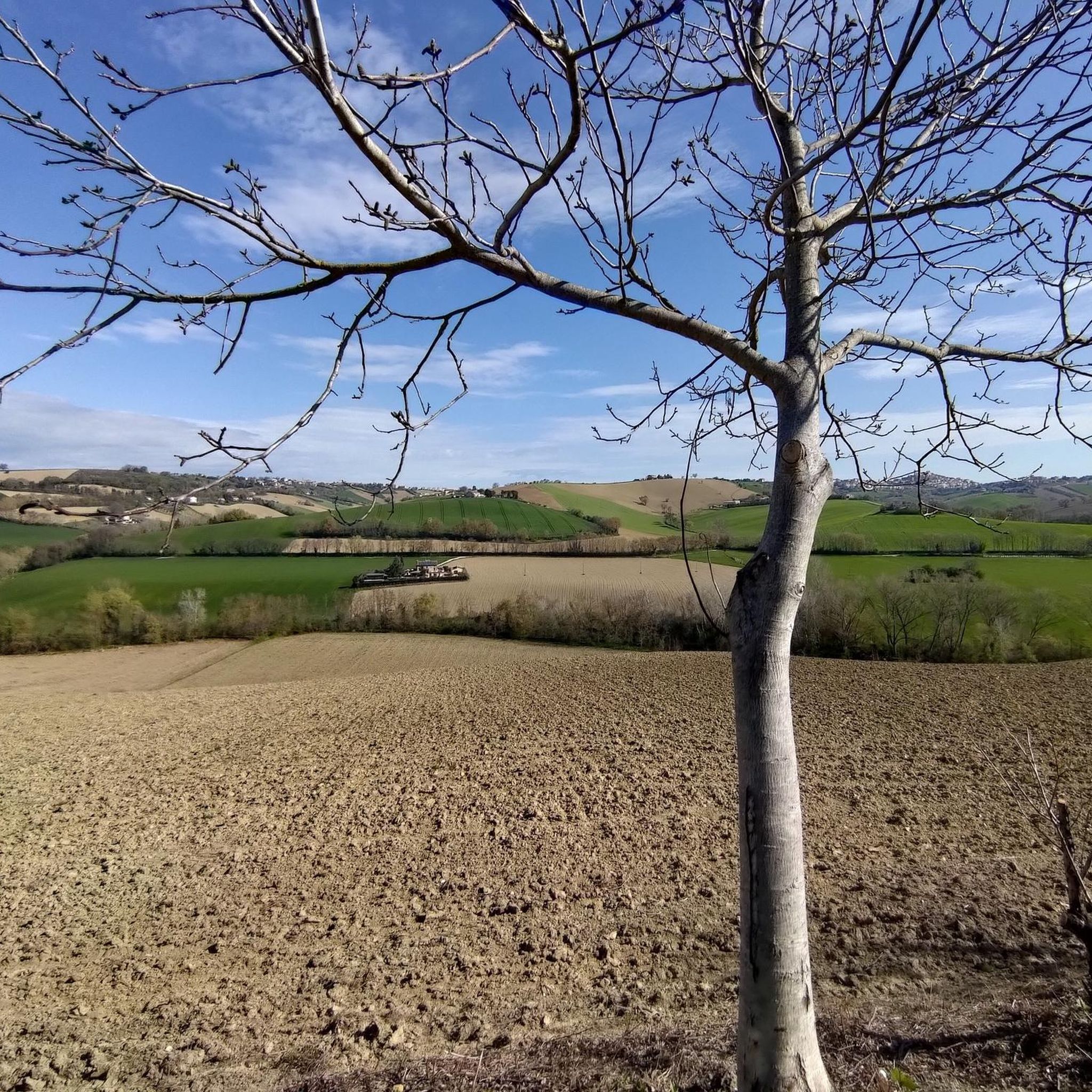
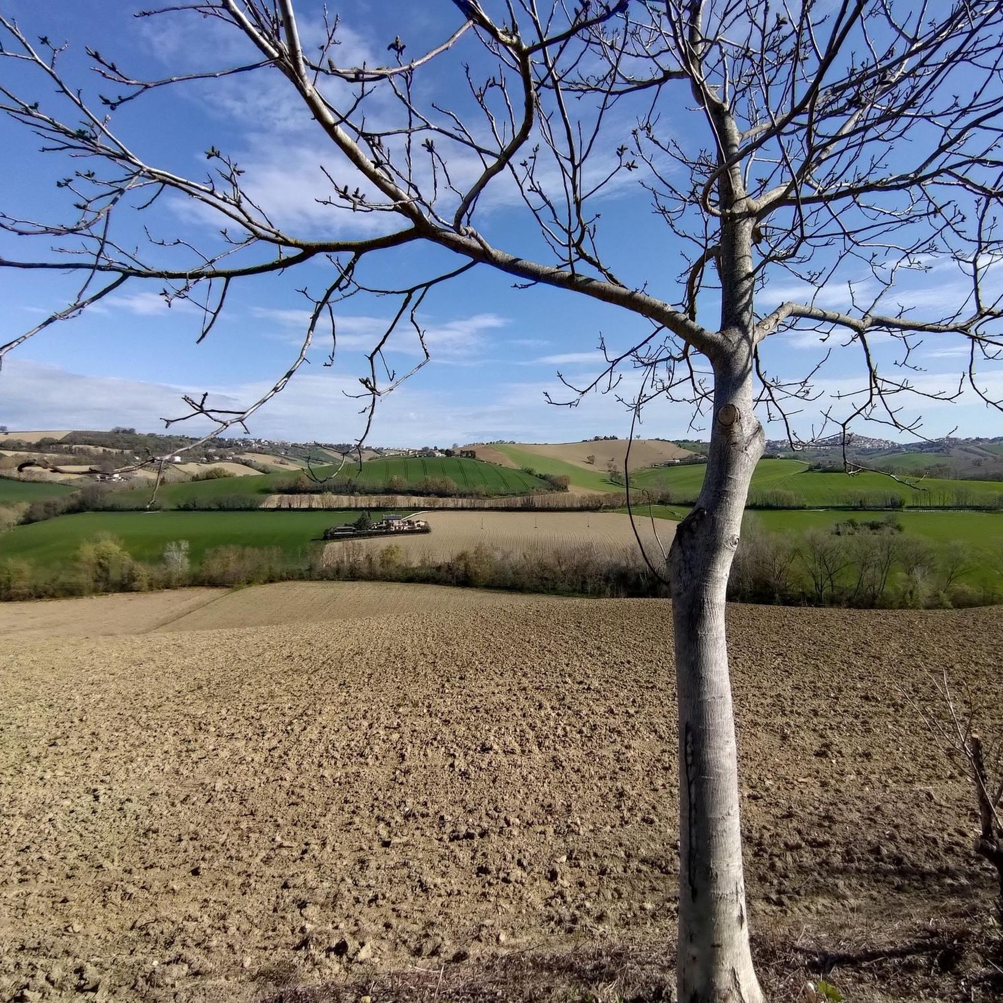
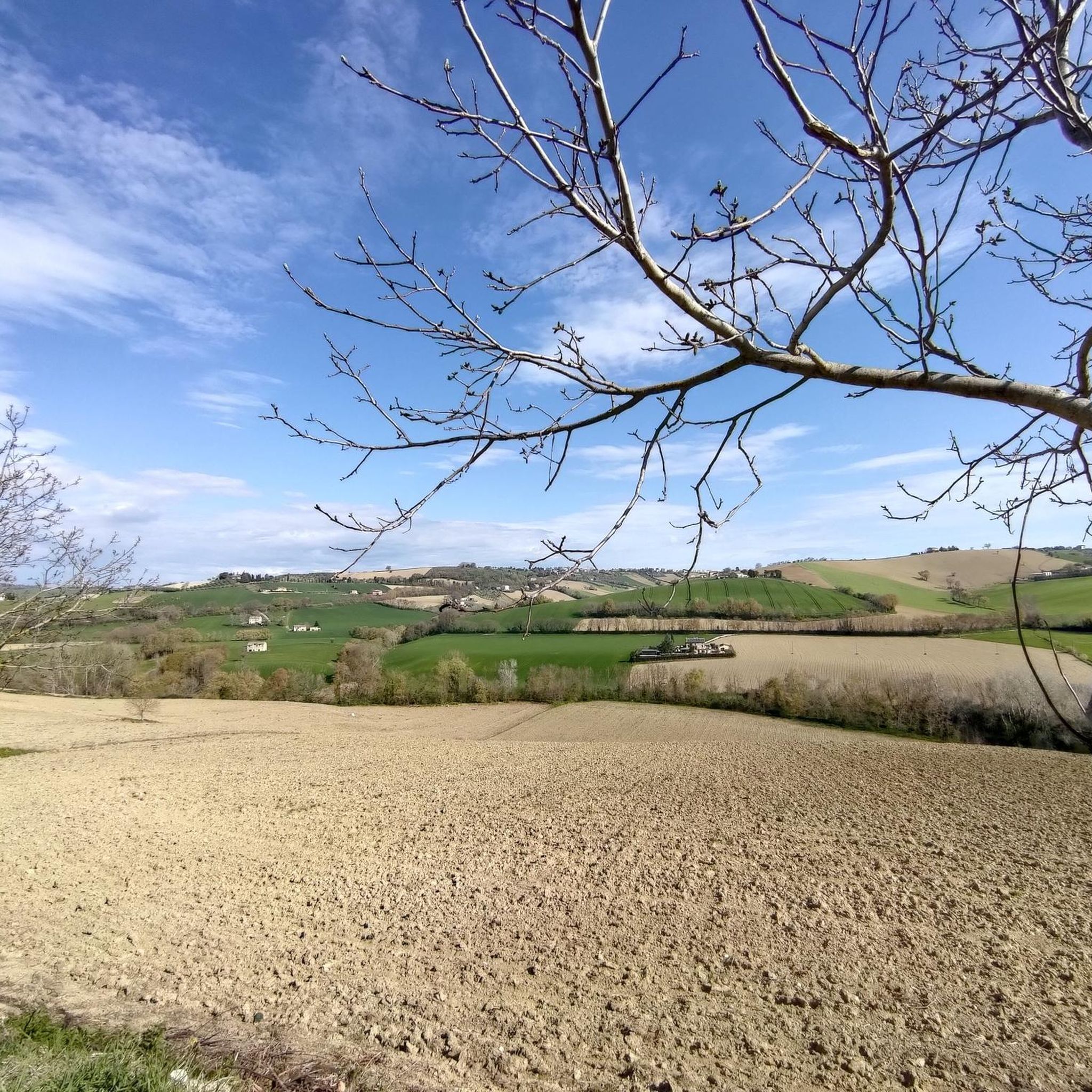
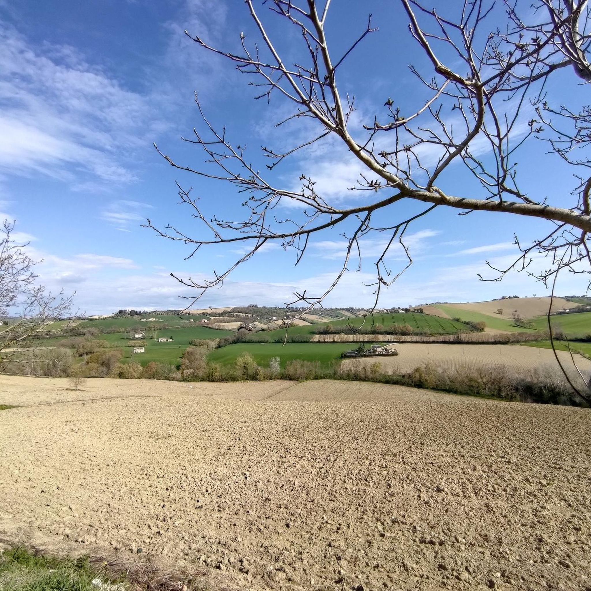
Hiking around Monte San Pietrangeli offers diverse terrain in Italy's Marche region. Situated on a hill at 241 meters altitude, the area features rolling hills between the Tenna and Ete Morto rivers. This location provides a mix of landscapes, from serene countryside to panoramic views, positioned between the Adriatic coast and the Sibillini Mountains. The region is characterized by an agricultural landscape with varied elevation changes suitable for walking.
Best hiking trails around Monte San Pietrangeli
- The most popular hiking…
Last updated: July 8, 2026
3.7
(3)
33
hikers
3.95km
01:00
10m
10m
Easy hike. Great for any fitness level. Easily-accessible paths. Suitable for all skill levels.
4
hikers
4.22km
01:04
10m
10m
Easy hike. Great for any fitness level. Easily-accessible paths. Suitable for all skill levels.

Sign up for free
4.0
(2)
8
hikers
6.23km
01:37
40m
40m
Easy hike. Great for any fitness level. Easily-accessible paths. Suitable for all skill levels.
5.0
(1)
3
hikers
7.76km
02:01
50m
50m
Moderate hike. Good fitness required. Easily-accessible paths. Suitable for all skill levels.
4.0
(1)
3
hikers
9.88km
02:47
200m
200m
Moderate hike. Good fitness required. Easily-accessible paths. Suitable for all skill levels.
Get access to more routes and recommendations from other explorers.
Sign up for free
Already have an account?
Our route recommendations are based on thousands of hikes, rides, and runs completed by other people on komoot.
Start today with a free account
Your next adventure awaits.
Login or Signup

Tips from the Community

The church of San Claudio al Chienti is a Romanesque building located in the municipality of Corridonia in an isolated position in the Chienti valley.
0
0
A building located along the Chieti route. A Romanesque church declared a national monument.
0
0

The routes wind along various types of roads, in any case the pedaling is easy and requires only modest training then, as happens to me, when you can't do it, you get off for a while....😂
0
0

Also known as Charlemagne's first Aachen.
1
0

fantastic journey into history and nature recommended
0
0

In this stretch, the Tenna river (which starts from the Sibillini Mountains) has a very low water flow. It is therefore also possible to access the bank under the bridge.
1
0

Road with little traffic in Località Selve, a good alternative to reach Morrovalle.
3
0

San Claudio al Chienti from the 11th century
1
0
Frequently Asked Questions
What kind of hiking terrain can I expect around Monte San Pietrangeli?
The region around Monte San Pietrangeli is characterized by rolling hills, river valleys, and an agricultural landscape. You'll find paths with varied elevation changes, offering a mix of serene countryside and panoramic viewpoints. The area is situated between the Tenna and Ete Morto rivers, providing diverse natural features for exploration.
Are there hiking routes suitable for families with children?
Yes, there are several easy routes perfect for families. For instance, the View of Lapedona – Piazza del Popolo, Fermo loop from Fermo is an easy 5 km trail with gentle ascents, typically completed in about 1 hour 25 minutes, making it suitable for a leisurely family outing.
Can I find circular hiking routes in the area?
Many of the trails around Monte San Pietrangeli are designed as loops. For example, the Istrice Viewpoint loop from Casette d'Ete is a moderate 9.4 km path that offers scenic views of the surrounding hills and is a popular circular option.
What are some notable landmarks or attractions I can see while hiking?
While hiking, you can encounter several interesting points. The Abbey of San Claudio loop from Contrada San Claudio takes you near the historic San Claudio Abbey. Another route, the Piazza del Popolo, Fermo – View of Lapedona loop from Fermo, passes through agricultural fields and small villages, offering glimpses of local life and leading towards Piazza del Popolo in Fermo.
What is the best time of year to go hiking in Monte San Pietrangeli?
The region offers pleasant hiking conditions for much of the year. Spring and autumn are particularly ideal, with mild temperatures and the countryside fragrant with flowers or displaying vibrant fall colors. The 'peace and healthy air of the Marche countryside' can be enjoyed during these seasons, providing an idyllic backdrop for outdoor pursuits.
Are there any dog-friendly hiking trails around Monte San Pietrangeli?
The natural, rolling hills and agricultural paths around Monte San Pietrangeli are generally welcoming for dogs, provided they are kept under control. Many local trails, such as the Basilica of Santa Croce loop from Casette d'Ete, offer open spaces for you and your canine companion to enjoy the Marche countryside.
What do other hikers enjoy most about hiking in Monte San Pietrangeli?
The area is highly rated by the komoot community, with an average score of 4.4 stars from 5 reviews. Reviewers often praise the diverse terrain, from easy strolls to moderate treks, and the picturesque natural setting that provides 'breathtaking landscapes' and opportunities for 'walks and relaxation'.
How many hiking trails are available in Monte San Pietrangeli?
There are at least 5 distinct hiking routes available directly around Monte San Pietrangeli, ranging from easy to moderate difficulty. These trails offer varied experiences through the local countryside.
Are there options for more challenging hikes with significant elevation gain?
While the immediate trails around Monte San Pietrangeli are primarily easy to moderate, the region serves as an excellent base for more challenging adventures. The stunning Sibillini Mountains Park, approximately a 45-minute drive away, offers extensive hiking opportunities with more rugged, mountainous terrain and significant elevation gains for experienced hikers.
Is public transport available to access hiking trailheads?
Monte San Pietrangeli is a charming village, and while local buses connect to nearby towns, direct public transport to specific trailheads might be limited. It's often recommended to use a car to reach the starting points of many routes, especially if you plan to explore the broader Marche region or the Sibillini Mountains.
Where can I find parking when hiking in Monte San Pietrangeli?
Parking is generally available in or near the villages that serve as starting points for the trails, such as Fermo or Casette d'Ete. These areas typically have public parking spaces, making it convenient to access the trailheads.
Are there cafes or amenities near the hiking trails?
Monte San Pietrangeli and its surrounding villages offer local amenities. You can find cafes, restaurants, and small shops in the village centers, which are often close to or accessible from the hiking routes. These provide opportunities for refreshments before or after your hike.
Most popular routes around Monte San Pietrangeli
Most popular attractions around Monte San Pietrangeli

Get inspired with the komoot mobile app


Explore more
Browse the best Hikes in other regions.
