The best walks and hikes around Cupramontana
4.4
(383)
1,580
hikers
17
hikes
Hiking around Cupramontana offers a diverse landscape characterized by rolling hills and varied elevations, providing a range of experiences for outdoor enthusiasts. The region features a mix of open countryside and wooded areas, with trails often leading to scenic viewpoints. Hikers can expect paths that traverse gentle slopes and more challenging ascents, reflecting the area's undulating topography.
Best hiking trails around Cupramontana
- The most popular hiking route is Hiking loop from Cupramontana, a 6.6 miles (10.7 km) trail that…
Last updated: May 11, 2026
4.1
(10)
26
hikers
10.8km
03:19
380m
380m
Moderate hike. Good fitness required. Easily-accessible paths. Suitable for all skill levels.
4.3
(8)
23
hikers
4.02km
01:18
180m
180m
Easy hike. Great for any fitness level. Easily-accessible paths. Suitable for all skill levels.

Sign up for free
4.5
(4)
6
hikers
3.38km
01:03
120m
120m
Easy hike. Great for any fitness level. Easily-accessible paths. Suitable for all skill levels.
4.0
(4)
8
hikers
Moderate hike. Good fitness required. Easily-accessible paths. Suitable for all skill levels.
4.3
(4)
6
hikers
12.5km
03:49
450m
450m
Moderate hike. Good fitness required. Easily-accessible paths. Suitable for all skill levels.
Get access to more routes and recommendations from other explorers.
Sign up for free
Already have an account?
Our route recommendations are based on thousands of hikes, rides, and runs completed by other people on komoot.
Start today with a free account
Your next adventure awaits.
Login or Signup

Tips from the Community

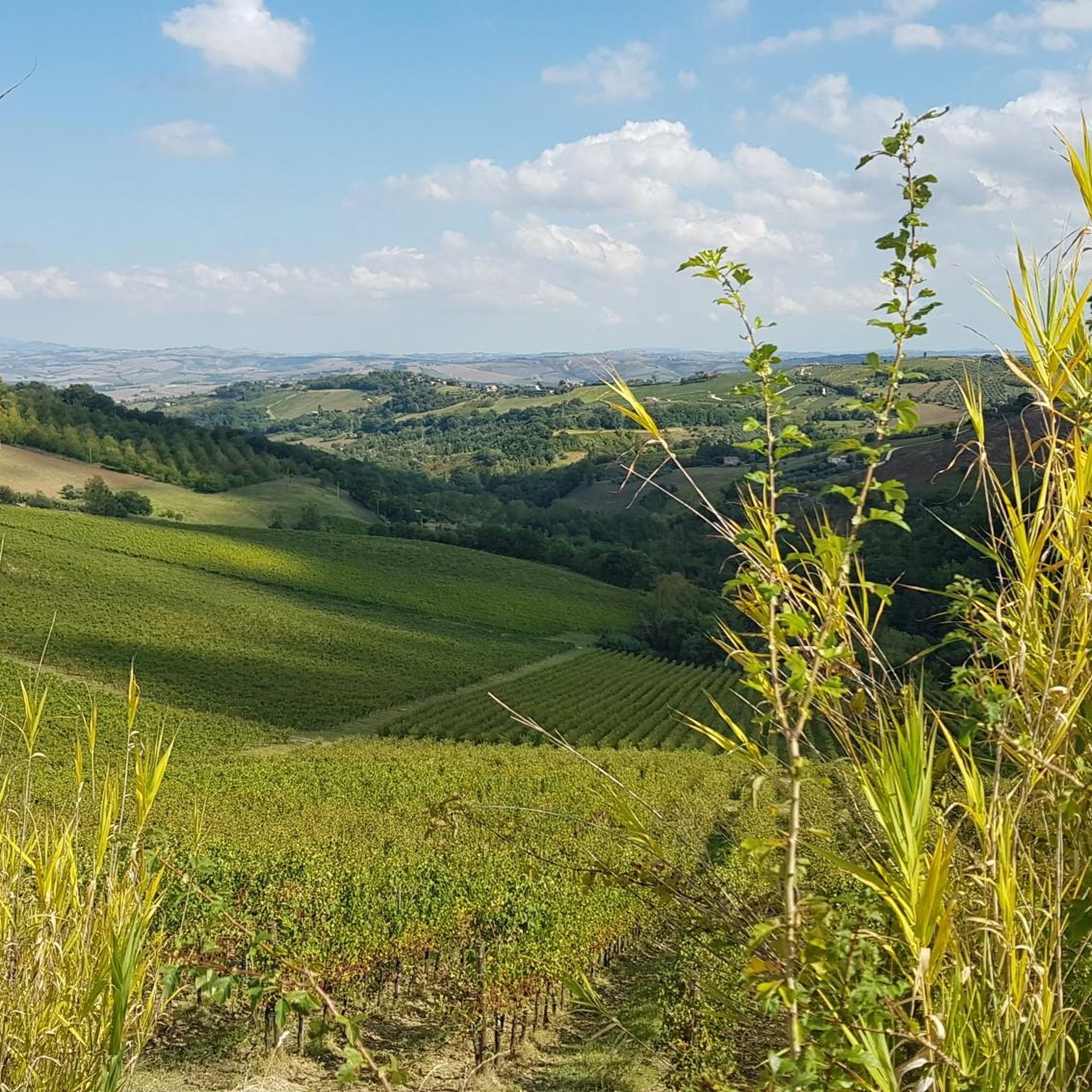
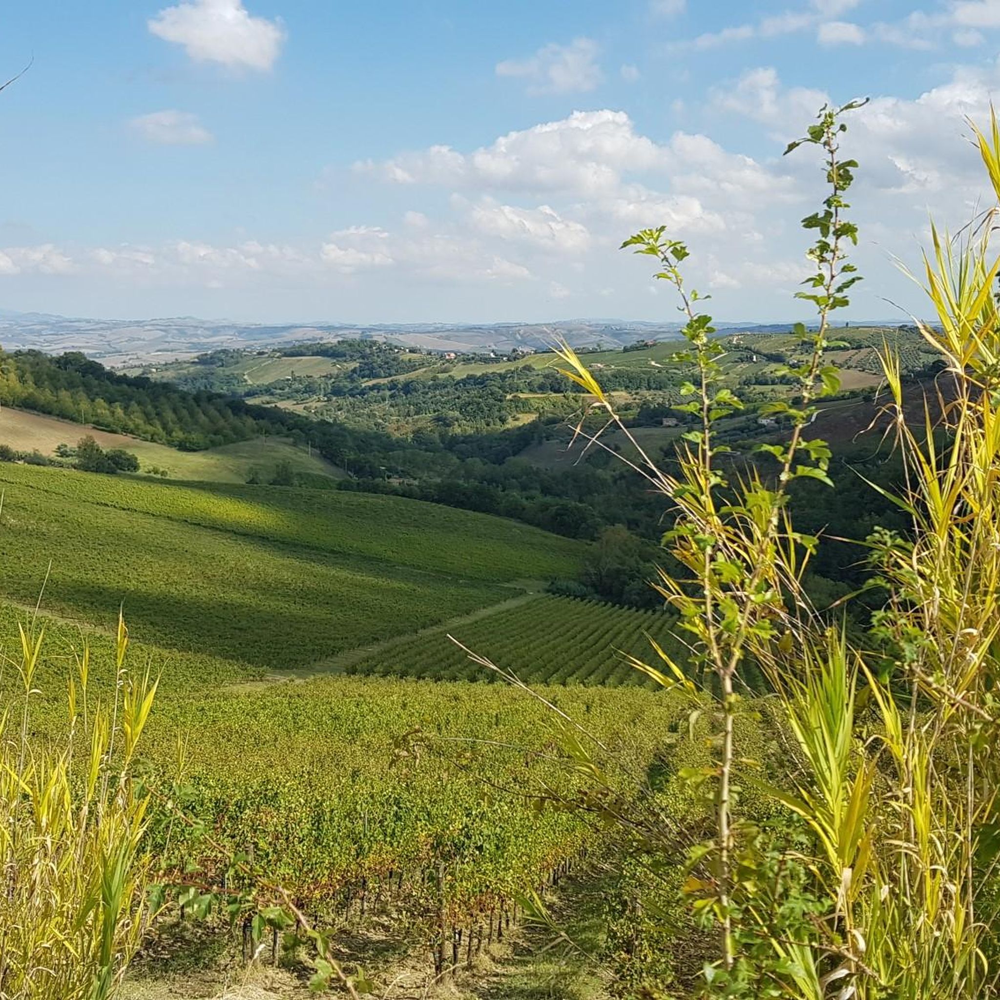
Cupramontana, known as the "Capital of Verdicchio", is a village in the Marche region of Picene and Roman origin. Its name originates from the cult of the goddess Cupra, a pre-Roman deity of fertility and beauty, worshipped by the Umbrians and Picenes. The town offers an excellent view of the rolling hills covered with vineyards, it is considered the capital of Verdicchio dei Castelli di Jesi wine, one of the most important Italian white wines, and it is also the birthplace of Luigi Bartolini, a great engraver, painter, writer, and poet of the 20th century.
1
0
The L’Eremo dei Frati Bianchi of Cupramontana, also known as delle Grotte, is located in a deep natural gorge and is partially carved into the sandstone rock. Very well maintained, it is definitely worth a visit, the path is suitable for everyone.
0
0
The Colle Celeste Park is a large area of Spontini's property that the maestro wanted to dedicate to the creation of a garden for public strolling in honor of his wife Celeste.
1
0
Monte Roberto rises 348 m above sea level, in the central part of the province of Ancona and Vallesina. Its territory is characterized by a wide panoramic view, which on clear days allows you to see both the Adriatic Sea and the Apennine mountains of Umbria-Marche. Monte Roberto is one of the 3 castles that are the protagonists of the event 4 Passi 3 Castelli, a festival that takes place on a weekend in May. From this link you can read all the information about it: https://www.comune.castelbellino.an.it/vivere_il_comune/eventi/evento_33.html#:~:text=La%20festa%204%20Passi%203,patrimonio%20paesaggistico%2C%20artistico%20e%20gastronomico.
1
0


Well preserved! A few years ago they were even renovating some parts. Well-kept garden and grounds. Behind the hermitage there are geological formations due to erosion in the sandstone rock. There is a well hidden in a kind of cave. I would say everything to explore. Suitable for everyone, even children.
1
1

Not easy to find but worth finding this place. A place of silence and inspiration, if you are in this area you should not miss it.
1
1
Frequently Asked Questions
How many hiking trails are available around Cupramontana?
There are 15 hiking routes around Cupramontana, ranging from easy strolls to more challenging treks. This includes 4 easy, 9 moderate, and 2 difficult trails, offering options for various fitness levels.
Are there any easy, family-friendly hikes in Cupramontana?
Yes, Cupramontana offers several easy trails suitable for families. A good option is the Eremo dei Frati Bianchi – Fontaine de la Chasse loop from Cupramontana, which is 4.0 km long and takes about 1 hour 17 minutes to complete. Another gentle walk is the Eremo dei Frati Bianchi – Hermitage of the White Friars loop from Cupramontana, a 3.4 km trail through wooded paths.
What kind of views can I expect on hikes around Cupramontana?
Hiking around Cupramontana offers diverse scenery, characterized by rolling hills, vineyards, and olive groves. Many trails lead to scenic viewpoints providing panoramic vistas of the surrounding Marche countryside. You can also find trails that pass through wooded valleys and open fields.
Are there any challenging hikes for experienced trekkers?
Yes, for those seeking a challenge, Cupramontana has 2 difficult routes. These trails typically feature significant elevation changes and cover longer distances, providing a more strenuous workout and rewarding views.
What are the best times of year to go hiking in Cupramontana?
The best times for hiking in Cupramontana are generally spring (April to June) and autumn (September to October). During these seasons, the weather is mild, and the landscape is particularly beautiful, with wildflowers in spring and vibrant foliage in autumn. Summers can be hot, making early morning or late afternoon hikes preferable.
Are there any circular hiking routes in Cupramontana?
Many of the trails around Cupramontana are designed as loops, allowing you to start and end in the same location. For example, the popular Hiking loop from Cupramontana is a moderate 10.7 km circular route offering panoramic views.
What interesting landmarks or attractions can I see along the trails?
The trails around Cupramontana often pass by historical and natural points of interest. You can explore sites like the Eremo dei Frati Bianchi, a historic hermitage. Some routes also offer views of local peaks such as Summit Cross of Monte Murano or Monte Revellone Summit.
What do other hikers enjoy most about hiking in Cupramontana?
The hiking trails in Cupramontana are highly rated by the komoot community, with an average score of 4.4 stars from nearly 400 reviews. Hikers often praise the diverse landscape, the well-maintained paths, and the opportunity to discover both natural beauty and historical sites.
Are there any hikes that pass by caves or unique geological features?
Yes, the region around Cupramontana features several caves and interesting geological formations. You might encounter highlights such as the Grotta del Vernino or the Valle Scappuccia Cave on some routes, offering a glimpse into the area's subterranean wonders.
Are there any longer, moderate hikes for a full day out?
For a longer, moderate day hike, consider the 4 Passes 3 Castles Itinerary – Fontaine de la Chasse loop from Cupramontana. This route spans nearly 15 km and takes around 4 hours 23 minutes, offering a comprehensive exploration of the local landscape.
Is Cupramontana a good destination for hikers who enjoy varied terrain?
Absolutely. Cupramontana is known for its undulating topography, featuring a mix of rolling hills, wooded areas, and open countryside. This provides a dynamic hiking experience with paths that traverse gentle slopes and more challenging ascents, ensuring varied terrain on most routes.
Are there any specific routes that offer a good mix of nature and cultural sights?
Many routes in Cupramontana blend natural beauty with cultural interest. For instance, the Red Leaves – Saint Leopardus loop from Cupramontana is a moderate 12.5 km trail that takes you through scenic landscapes while potentially passing by local points of interest, offering a balanced experience.
Most popular attractions around Cupramontana

Get inspired with the komoot mobile app


Explore more
Browse the best Hikes in other regions.
