The best running trails around Civitella Del Tronto
4.1
(11)
1,505
runners
136
runs
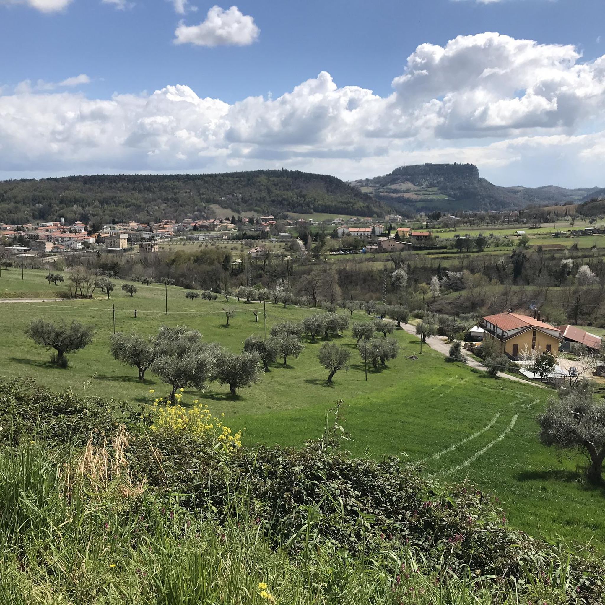
Jogging routes Civitella Del Tronto traverse a diverse landscape within the Abruzzo region, characterized by its position on a travertine cliff and proximity to the Gran Sasso e Monti della Laga National Park. The terrain offers a mix of rugged peaks, forested mountains, and the Tronto valley, providing varied running experiences. Many routes feature panoramic views stretching across the valley and towards distant mountain ranges.
Best jogging routes around Civitella Del Tronto
- The most popular jogging route is San Giacomo…
Last updated: July 8, 2026
1
runners
5.55km
00:53
350m
350m
Hard run. Very good fitness required. Mostly paved surfaces. Suitable for all skill levels.
5.0
(1)
104
runners
14.4km
02:09
710m
710m
Hard run. Very good fitness required. Sure-footedness, sturdy shoes and alpine experience required.

Sign up for free
63
runners
21.4km
03:09
1,050m
1,050m
Hard run. Very good fitness required. Sure-footedness, sturdy shoes and alpine experience required.
32
runners
9.94km
01:02
70m
70m
Moderate run. Good fitness required. Mostly paved surfaces. Suitable for all skill levels.
10
runners
Hard run. Very good fitness required. Sure-footedness, sturdy shoes and alpine experience required.
Get access to more routes and recommendations from other explorers.
Sign up for free
Already have an account?
Our route recommendations are based on thousands of hikes, rides, and runs completed by other people on komoot.
Start today with a free account
Your next adventure awaits.
Login or Signup

Other adventures around Civitella Del Tronto

Tips from the Community


One of the most beautiful asphalt climbs in the area, the one towards Colle San Giacomo was also tackled by the Giro d'Italia: the last time in 2021, when Gino Mader won here. Here you are at about 1,100 meters, near the ski resort of Monte Piselli.
0
0

Monte Girella is the top of the Montagna dei fiori. You can climb to the top via an easy path starting from the Monte Piselli ski lifts in the San Giacomo area. From the top, on clear days you can see the Adriatic coast up to Conero, the Gran Sasso and Sibillini mountains. It is beautiful to observe the nearby Montagna di Campli.
2
0


Once known as Ascoli Mountain, Monte Girella offers panoramic views from its altitude of 1800 metres. From here the mountain ranges of the Sibillini, Laga and Gran Sasso are visible. https://ripartiredaistieri.cai.it/sentieri/san-giacomo-monte-girella/
4
0
Nice little lake near San Giacomo. Being seasonal, it is not always found in this place. http://www.luoghidelsilenzio.it/abruzzo/01_conoscere/00012/index.htm#:~:text=The%20laghetto%20%C3%A8%20full%20of,surface%20only%20to%20take%20air.
0
0
Frequently Asked Questions
How many running routes are available around Civitella Del Tronto?
There are over 120 running routes documented on komoot around Civitella Del Tronto, offering a wide variety of options for different fitness levels and preferences. These routes are highly rated by the komoot community, with an average score of 4.0 stars.
What kind of terrain can I expect on the jogging trails in Civitella Del Tronto?
The terrain around Civitella Del Tronto is quite diverse, ranging from rugged peaks and forested mountains to the more gentle Tronto valley. You'll find a mix of mostly paved surfaces for easier jogs and more challenging, rugged paths requiring good fitness, especially in areas like the Gran Sasso e Monti della Laga National Park.
Are there any easy or beginner-friendly jogging routes in the area?
Yes, while many routes offer significant climbs, there are a few easier options. For instance, the guide lists 4 easy routes and 59 moderate routes. An example of a moderate route is the Running loop from Sant'Egidio alla Vibrata, which is 9.9 km long with relatively low elevation gain.
What are some of the longer distance running trails near Civitella Del Tronto?
For those seeking a longer challenge, routes like the Monte Giammatura – Montagna dei Fiori loop from Folignano offer a substantial 14.5 km path with significant climbing. Another option is the Three Caciare – Crested Newt Pond loop from San Giacomo, which is 12.7 km long and features over 800m of elevation gain.
Are there any circular jogging routes in Civitella Del Tronto?
Yes, many of the running routes in the area are circular, allowing you to start and finish at the same point. A popular example is the San Giacomo and the three caciare - ring tour, a 5.5 km difficult trail that offers scenic vistas.
What natural features or landmarks can I see while running in Civitella Del Tronto?
Jogging routes often provide breathtaking panoramic views of the Tronto valley, the Gran Sasso d'Italia massif, and even the Adriatic Sea on clear days. You might also encounter natural features like the Crested Newt Pond or the Oasi La Valle Nature Reserve. The impressive Bourbon Fortress in Civitella del Tronto itself offers unique views from its ramparts.
Are there any interesting caves or religious sites accessible from running paths?
Yes, the region features unique natural caves and religious sites. You can find the San Marco Hermitage (Eremo di San Marco), a natural cave integrated with a church-like structure, along picturesque paths. Other notable caves include Sant'Angelo Cave and Cave of Blessed Corrado.
What do other runners enjoy most about jogging in Civitella Del Tronto?
The area is highly rated by the komoot community, with an average score of 4.0 stars from 8 reviews. Runners often praise the diverse landscapes, from rugged mountains to forested areas, and the inspiring panoramic views that stretch across valleys and towards distant mountain ranges. The variety of trails catering to different fitness levels is also a highlight.
Is Civitella Del Tronto a good place for family-friendly running or walking?
While many routes are challenging, the diverse trail network includes options suitable for various fitness levels. For families, focusing on the easier or moderate routes, particularly those with less elevation gain, would be ideal. The historic center of Civitella del Tronto also offers a charming urban environment for a leisurely jog or walk, combining activity with cultural immersion.
What is the best time of year to go running in Civitella Del Tronto?
Civitella Del Tronto offers beautiful scenery year-round. The region's elevated position means inspiring vistas are common. While specific seasonal advice isn't provided, the mention of 'mist often adding to the atmospheric beauty' suggests that cooler seasons can be quite atmospheric. For comfortable running, spring and autumn generally offer pleasant temperatures, while summer mornings or evenings would be best to avoid peak heat.
Are there opportunities for wildlife spotting on the running trails?
Given Civitella Del Tronto's proximity to the expansive Gran Sasso e Monti della Laga National Park, there are certainly opportunities for wildlife observation. The park's pristine wilderness and varied terrain provide a habitat for diverse flora and fauna, making it possible to spot local wildlife during your runs, especially on quieter trails.
Most popular routes around Civitella Del Tronto
Most popular attractions around Civitella Del Tronto

Get inspired with the komoot mobile app


Explore more
Browse the best Running Trails & Routes in other regions.
