The best running trails around Monsampolo Del Tronto
4.5
(164)
3,627
runners
110
runs
Jogging around Monsampolo Del Tronto offers a variety of routes through the region's diverse landscape. The area is characterized by river valleys, agricultural plains, and some elevated historical sites. Many running routes follow waterways, providing relatively flat terrain suitable for various fitness levels.
Best jogging routes around Monsampolo Del Tronto
- The most popular jogging route is Mulino ad acqua loop from Stella, a 6.4 miles (10.4 km) trail that takes 1 hour 4 minutes to complete. This moderate route…
Last updated: July 8, 2026
36
runners
8.51km
00:53
30m
30m
Moderate run. Good fitness required. Mostly paved surfaces. Suitable for all skill levels.
4.0
(1)
127
runners
14.0km
01:30
180m
180m
Moderate run. Good fitness required. Mostly paved surfaces. Suitable for all skill levels.

Sign up for free
16
runners
16.0km
01:44
250m
250m
Hard run. Very good fitness required. Mostly paved surfaces. Suitable for all skill levels.
16
runners
17.6km
01:50
50m
50m
Hard run. Very good fitness required. Mostly paved surfaces. Suitable for all skill levels.
15
runners
7.45km
00:46
20m
20m
Moderate run. Good fitness required. Mostly paved surfaces. Suitable for all skill levels.
Get access to more routes and recommendations from other explorers.
Sign up for free
Already have an account?
Our route recommendations are based on thousands of hikes, rides, and runs completed by other people on komoot.
Start today with a free account
Your next adventure awaits.
Login or Signup
Tips from the Community

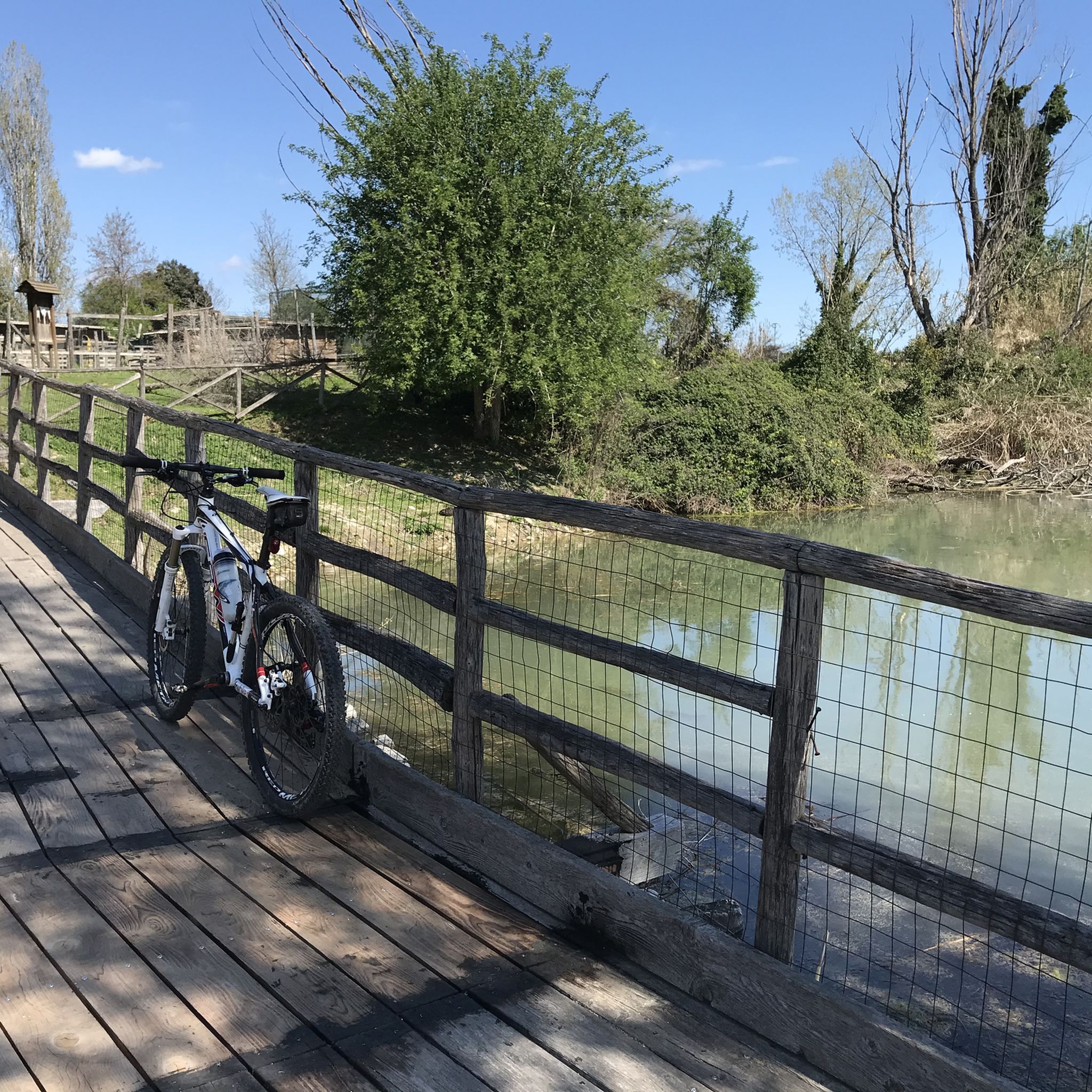
The passage on the wooden bridge is currently closed
0
0

The Oasi La Valle is located along the Tronto cycle path. The area is made up of ponds and at the end of the path there is a restored farmhouse for educational and teaching activities. A museum of ancient crafts has also been established. You can admire various animal species along the path and in the ponds (turtles, carp, nutria, horses, heron, etc.).
0
0

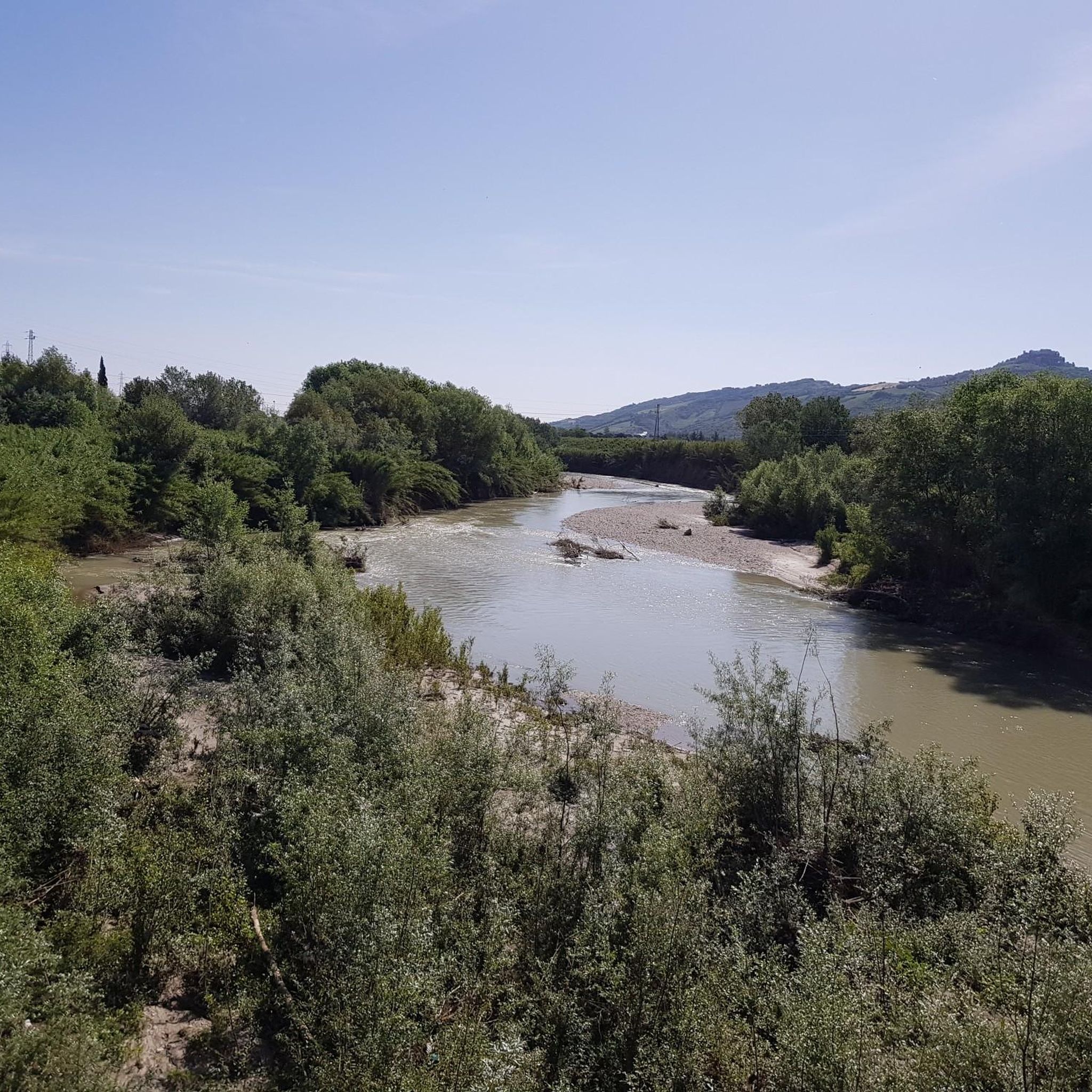
The La Valle Oasis is a natural area along the Tronto River managed by the Environmental Education Center which offers various services for teaching, ecotourism and scientific research. It has a wetland with aquatic birds, including the gray heron which is the symbol of the Oasis.
1
0
Hillside village of Controguerra, an area rich in vineyards and with a view of the Monti della Laga and the Adriatic Sea.
1
0

Promising road with a good surface for touring or racing bikes. With a bit of luck you can see the blooming sunflower fields.
0
0

Beautiful departure but beware of the blowholes in the streets
2
0
Colonnella is an Italian commune (comune) with 3734 inhabitants (as of 31 December 2015) in the province of Teramo in Abruzzo. The municipality is located about 27.5 kilometers northeast of Teramo, about 22.5 kilometers east of Ascoli Piceno and about 4.5 kilometers west to the Adriatic coast in Val Vibrata. Colonnella is immediately adjacent to the province of Ascoli Piceno, this northern municipality boundary forms the Tronto. The area around Colonnella was already described by Pliny the Elder. For the first time Colonnella is first mentioned in documents between 936 and 962 in the chronicles of Farfa. Wikipedia
2
1
Controguerra is an Italian commune of the province of Teramo in the Abruzzo region. It is located in the extreme north of the region on the border with the Marche, only 8 km from the coast of the Adriatic Sea. It has 2436 inhabitants called Controguerresi. The municipality gives its name to the winegrowing area of Controguerra. In the surroundings of the municipality also Montepulciano vines are grown for the DOC wine Montepulciano d'Abruzzo. Wikipedia
4
0
Frequently Asked Questions
How many running routes are available in Monsampolo Del Tronto?
There are over 80 running routes around Monsampolo Del Tronto, offering a wide variety of options for different fitness levels and preferences.
Are there easy running routes suitable for beginners?
Yes, Monsampolo Del Tronto offers 6 easy running routes perfect for beginners or those looking for a relaxed jog. Many of these follow river paths, providing relatively flat terrain.
What kind of scenery can I expect on the running paths?
The running paths in Monsampolo Del Tronto feature diverse scenery, including river valleys, agricultural plains, and routes around historical towns. You'll often find yourself jogging alongside waterways or through open fields. For example, the Mulino ad acqua loop from Spinetoli-Colli offers views of agricultural landscapes.
Are there family-friendly running trails in Monsampolo Del Tronto?
Many of the easier routes, particularly those along river paths, are suitable for families. They generally have gentle gradients and offer pleasant surroundings. Always check the route details for specific difficulty and terrain information.
Can I bring my dog on the running trails?
Generally, dogs are welcome on most outdoor trails in the region. However, it's always best to keep your dog on a leash, especially when passing through agricultural areas or near wildlife, and to respect local regulations.
What is the typical length of running routes in the area?
Running routes in Monsampolo Del Tronto vary significantly in length. For instance, the Mulino ad acqua loop from Pagliare is about 5.6 miles (9 km), while the Oasi La Valle loop from Centobuchi extends to 10.9 miles (17.6 km).
Are there many circular running routes available?
Yes, many of the running routes in Monsampolo Del Tronto are designed as loops, allowing you to start and finish at the same point. Examples include the Mulino ad acqua loop from Stella and the Medieval Fortress loop from Monteprandone.
When is the best time of year to go running in Monsampolo Del Tronto?
Spring and autumn generally offer the most pleasant running conditions with mild temperatures. Summer can be warm, so early morning or late evening runs are recommended. Winter running is also possible, especially on the less exposed river paths.
What do other runners enjoy most about jogging in Monsampolo Del Tronto?
The area is highly rated by the komoot community, with an average score of 4.6 stars. Reviewers often praise the varied terrain, from river paths to routes around historical towns, and the well-maintained trails that cater to different abilities.
Are there any interesting landmarks or attractions near the running routes?
Yes, the region offers several points of interest. While running, you might be near historical sites like the Acquaviva Picena Fortress or natural areas such as the Sentina Regional Nature Reserve. Some routes also pass by old water mills, adding a historical touch to your run.
Are there running routes that pass by cafes or refreshment stops?
While specific cafes aren't always marked directly on the trails, many routes start or pass through towns and villages like Stella, Spinetoli-Colli, or Centobuchi, where you can find local establishments for refreshments before or after your run.
Are there any more challenging running routes for experienced runners?
Yes, for experienced runners seeking a challenge, there are 27 difficult routes available. These often feature more significant elevation changes, such as the Medieval Fortress loop from Monteprandone, which includes over 250 meters of elevation gain.
Most popular routes around Monsampolo Del Tronto
Most popular attractions around Monsampolo Del Tronto

Get inspired with the komoot mobile app


Explore more
Browse the best Running Trails & Routes in other regions.
