The best mountain hikes around Issime
4.3
(7)
59
hikers
5
hikes
Mountaineering routes around Issime are situated in Italy's Aosta Valley, within the Lys Valley, and are characterized by the rugged terrain of the Pennine Alps. The region features high-altitude peaks, including proximity to the Monte Rosa massif, and is traversed by the Lys River. Landscapes range from dense forests and serene alpine meadows to challenging mountain passes, offering a diverse environment for alpine exploration.
Best mountaineering routes around Issime
- The most popular mountaineering route is Monte Camino – Rifugio Rosazza…
Last updated: October 8, 2026
4.0
(3)
16
hikers
13.6km
06:37
1,090m
1,090m
Hard mountaineering route. Very good fitness required. Sure-footedness, sturdy shoes and alpine experience required.
4.5
(2)
13
hikers
17.3km
07:47
1,130m
1,130m
Hard mountaineering route. Very good fitness required. Sure-footedness, sturdy shoes and alpine experience required.

4.5
(2)
15
hikers
13.2km
06:30
1,090m
1,090m
Hard mountaineering route. Very good fitness required. Sure-footedness, sturdy shoes and alpine experience required.
11
hikers
11.7km
06:43
1,070m
1,070m
Hard mountaineering route. Very good fitness required. Sure-footedness, sturdy shoes and alpine experience required.
4
hikers
15.8km
07:54
1,270m
1,270m
Hard mountaineering route. Very good fitness required. Sure-footedness, sturdy shoes and alpine experience required.
Our route recommendations are based on thousands of hikes, rides, and runs completed by other people on komoot.
Start today with a free account
Your next adventure awaits.

Tips from the Community

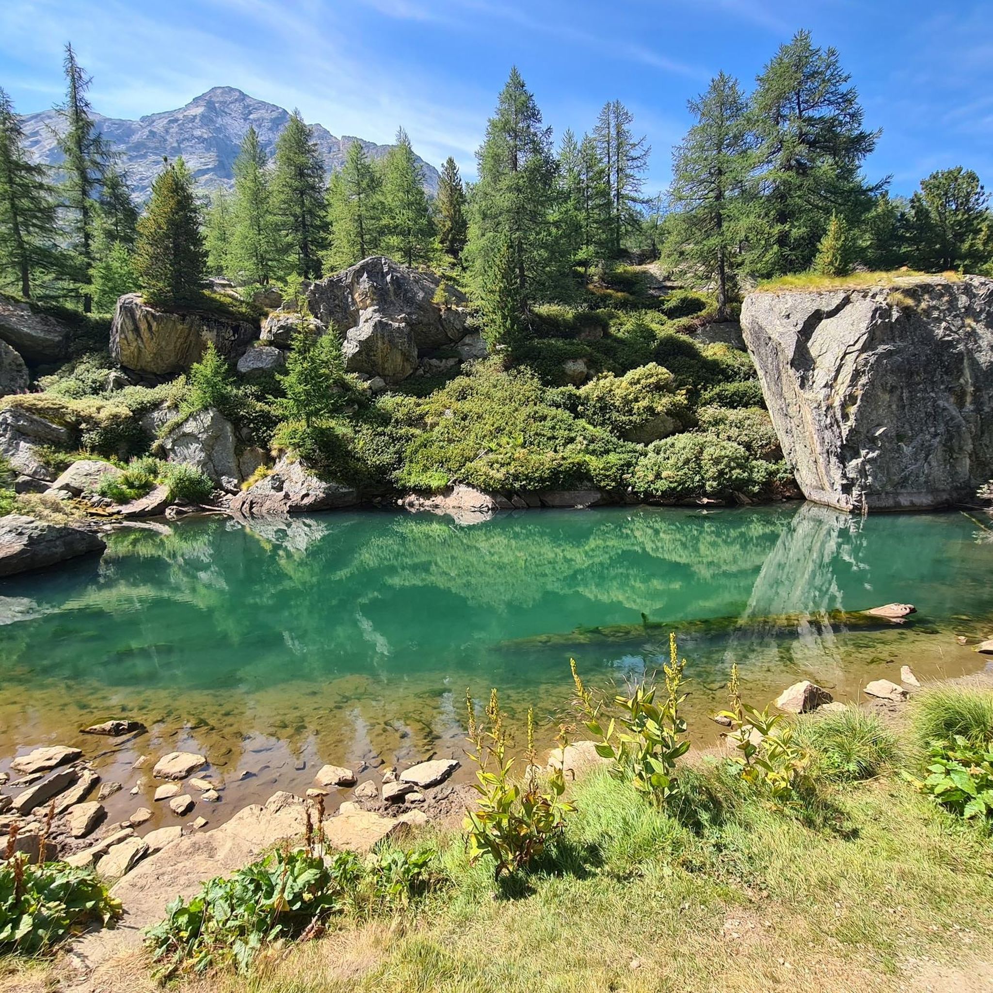
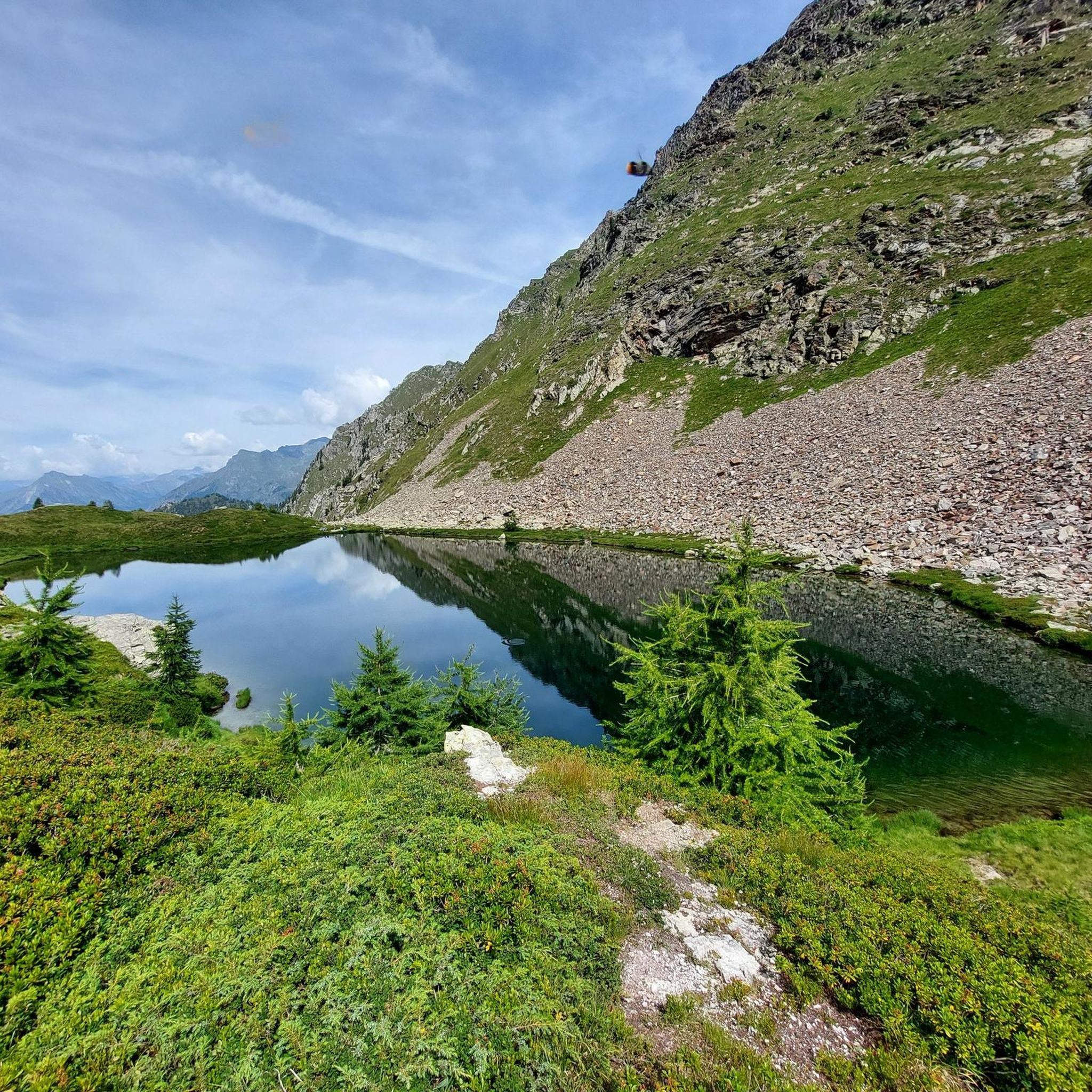
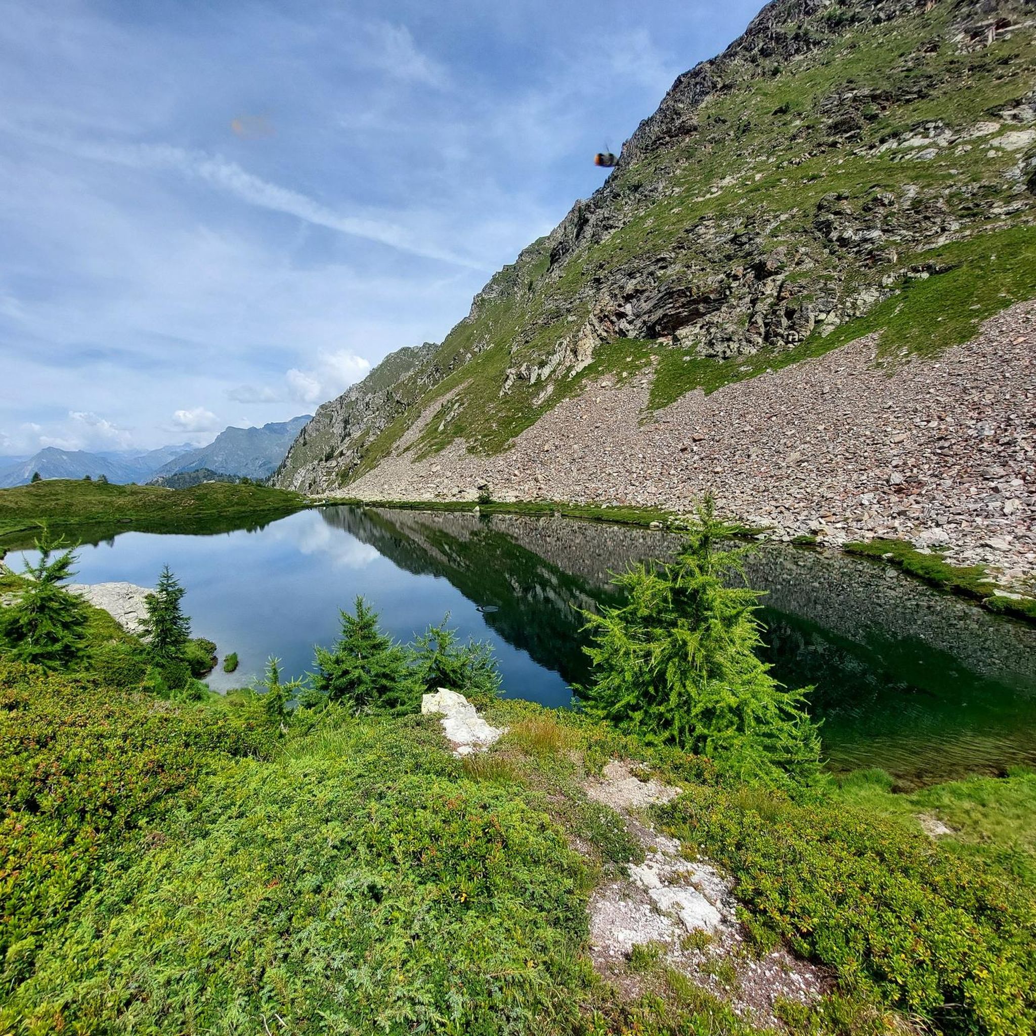
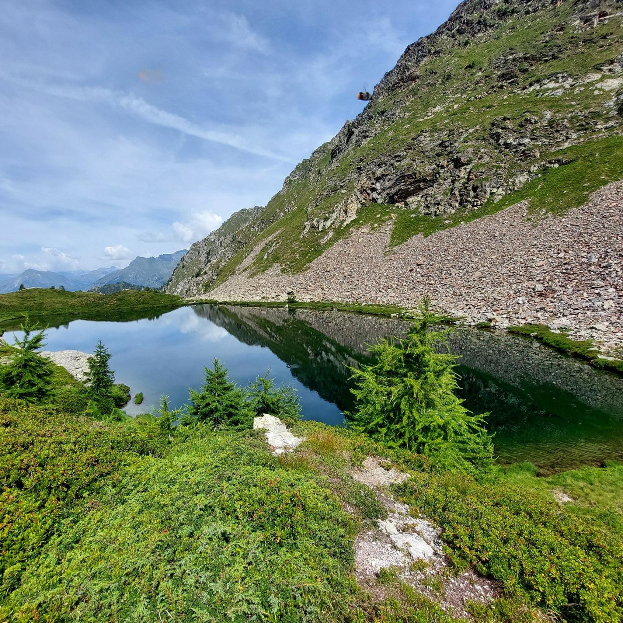
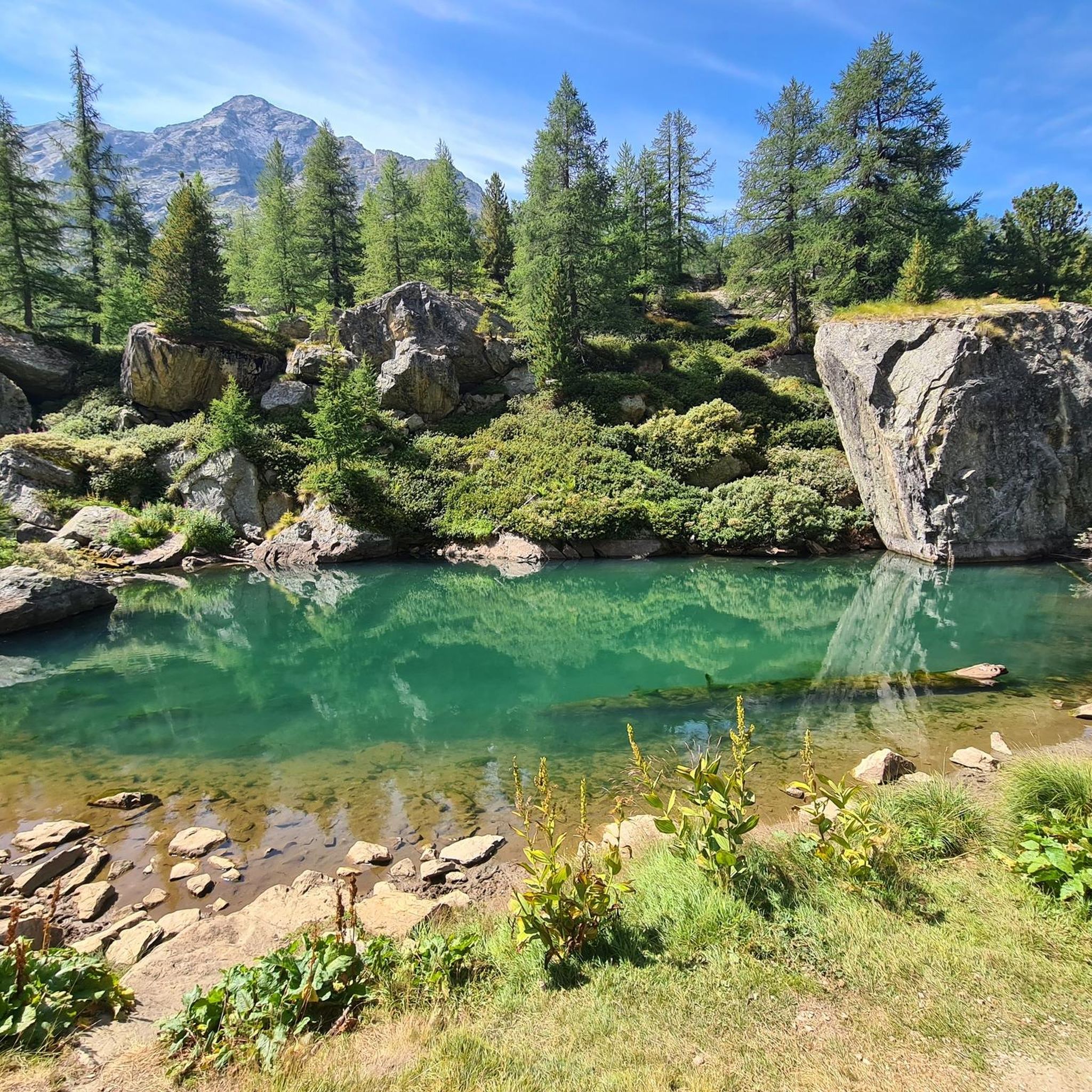
A slightly smaller lake among the others that are part of the Palasina lakes, at the beginning of a steep climb that also leads to the Long Lake
0
0
First lake you meet after Alpe Palasina, very beautiful and divided into two wide bodies of water
0
0

Loop tour starting from Estoul. Punta Palasinaz is the highest and most panoramic point with a 360° view of the peaks and the lakes below. (Difficulty E -- for the ridge EE)Stop and relax at the Arp refuge before the ascent or on the return of the loop from Punta Palasinaz
1
0

Refuge located on the Valdobbia pass, on the border between Piedmont and Aosta Valley, and it is possible to reach it from the Lys valley or from Valsesia, via hiking trails. It is the highest hospice in Europe at 2480 meters above sea level, and it offered hospitality to merchants, wayfarers, and pilgrims who passed through here.
0
0

glacial lake that gives rise to the Oropa stream
0
0
built in 1936 and restored in 2006
0
0
arrival station and panoramic view of the Sanctuary
0
3
Frequently Asked Questions
What types of mountaineering routes can I find around Issime?
Issime, located in Italy's Aosta Valley, offers a diverse range of mountaineering routes primarily characterized by the rugged terrain of the Pennine Alps. You'll find routes traversing high-altitude peaks, glacial landscapes, and challenging mountain passes. The area features a mix of moderate and difficult trails, catering to experienced mountaineers. For example, the Lago della Vecchia – Rifugio Lago della Vecchia loop from Piedicavallo is a moderate option, while routes like the Monte Camino – Rifugio Rosazza loop from Oropa present a more difficult challenge.
Are there any moderate mountaineering routes in Issime for those building experience?
Yes, while many routes around Issime are challenging, there is at least one moderate mountaineering option available. The Lago della Vecchia – Rifugio Lago della Vecchia loop from Piedicavallo is a moderate 11.1 km trail that typically takes around 4 hours and 22 minutes to complete, with an elevation gain of about 833 meters. This route leads through mountain lakes and past a rifugio, offering a rewarding experience without the extreme difficulty of some other trails.
What natural landmarks or viewpoints can I expect to see on mountaineering routes near Issime?
Mountaineering routes around Issime offer stunning alpine scenery and expansive valley views. You can expect to see high mountain ranges, alpine pastures, and dense forests. Specific routes like the Mucrone Lake loop from Oropa provide views of notable mountain lakes. The region is also known for its proximity to iconic peaks like Monte Rosa, and the trails themselves often lead to breathtaking vistas over the Lys Valley and beyond.
What is the typical duration and elevation gain for mountaineering routes in Issime?
The duration and elevation gain for mountaineering routes in Issime vary depending on the trail's difficulty. Difficult routes, such as the Monte Camino – Rifugio Rosazza loop from Oropa, can take around 6 hours and 47 minutes to complete, involving over 1,100 meters of elevation gain. Moderate routes, like the Lago della Vecchia – Rifugio Lago della Vecchia loop from Piedicavallo, typically take about 4 hours and 22 minutes with around 833 meters of ascent.
What do other mountaineers say about the routes in Issime?
The mountaineering routes around Issime are highly regarded by the komoot community, holding an impressive average rating of 4.6 stars from over 9 reviews. Mountaineers frequently praise the challenging and diverse terrain, the stunning alpine landscapes, and the dramatic peaks of the Pennine Alps. The network offers rewarding options for experienced individuals seeking alpine exploration.
Are there any circular mountaineering routes available around Issime?
Yes, several mountaineering routes around Issime are designed as loops, offering a complete circular journey. Examples include the Monte Camino – Rifugio Rosazza loop from Oropa, the Mucrone Lake loop from Oropa, and the Lago della Vecchia – Rifugio Lago della Vecchia loop from Piedicavallo. These circular paths allow you to experience varied scenery without retracing your steps.
What is the best time of year for mountaineering in Issime?
The best time for mountaineering in Issime is typically during the warmer months, from late spring to early autumn (roughly June to September), when trails are generally free of snow and weather conditions are more stable. This period offers the most favorable conditions for accessing high-altitude passes and enjoying the alpine environment. Always check local weather forecasts and trail conditions before heading out.
Are there any historical or cultural points of interest along the mountaineering trails?
While the primary focus of mountaineering in Issime is the natural alpine environment, the region is rich in cultural heritage. Many trails, including ancient Walser trails, wind through alpine pastures and connect traditional Walser villages. These settlements offer a glimpse into the history and traditions of mountain communities, adding a cultural dimension to your outdoor adventure.
What are some nearby attractions to explore after a mountaineering trip in Issime?
After your mountaineering adventures, you can explore several nearby attractions. The region features numerous mountain passes, such as Col de Joux and Ranzola Pass, which offer scenic drives or further hiking opportunities. Additionally, the Aosta Valley is home to impressive castles like Fort Bard and Verrès Castle, providing a historical and architectural contrast to the natural landscapes.
Are there any specific permits required for mountaineering in the Issime area?
The provided information does not indicate specific permits required for general mountaineering in the Issime area. However, it is always advisable to check with local authorities or tourist information centers for the most up-to-date regulations, especially if you plan to access protected areas or engage in activities that might require special permissions. Always respect local guidelines and environmental protection rules.
What is the terrain like on the more difficult mountaineering routes around Issime?
The more difficult mountaineering routes around Issime are characterized by rugged terrain typical of the Pennine Alps. This includes high-altitude peaks, rocky sections, and potentially exposed areas. Routes often involve significant elevation gains and descents, demanding good fitness, sure-footedness, and alpine experience. Expect varied surfaces, from alpine meadows to rocky paths and scree, especially on trails like the View of the Lakes – Corno Bussòla loop from Praitou.
Most popular attractions around Issime

Get inspired with the komoot mobile app


Explore more
Browse the best Mountain Hikes & Routes in other regions.
