The best walks and hikes around Saint-Christophe
4.2
(190)
1,487
hikers
41
hikes
Hiking around Saint-Christophe offers a diverse range of trails through varied landscapes, characterized by mountainous terrain, valleys, and historical features. The region includes routes with significant elevation changes, leading through forests and open areas. Hikers can explore paths that connect villages, traverse hills, and offer views of the surrounding natural environment.
Best hiking trails around Saint-Christophe
- The most popular hiking route is Mont Mary Trail, a 9.5 miles (15.3 km) trail that takes 8 hours 22 minutes to complete.…
Last updated: July 7, 2026
5.0
(3)
35
hikers
15.3km
08:22
1,480m
1,470m
Hike the difficult Mont Mary Trail, a 9.5-mile route with 4852 feet of elevation gain, offering views of Aosta and Becca di Viou.
4.5
(2)
14
hikers
7.09km
02:53
480m
480m
Historic alpine trail through chapels and hamlets beneath towering 3000-meter Aosta Valley peaks.

Sign up for free
1
hikers
6.33km
03:33
670m
670m
Hike the moderate 3.9-mile Historic Ru Pompillard Trail from Veynes, featuring an ancient canal, a tunnel, and panoramic Aosta Valley views.
4.3
(26)
114
hikers
10.7km
03:06
250m
250m
Moderate hike. Good fitness required. Mostly accessible paths. Sure-footedness required.
4.5
(8)
76
hikers
15.4km
05:58
900m
900m
Hard hike. Very good fitness required. Mostly accessible paths. Sure-footedness required.
Get access to more routes and recommendations from other explorers.
Sign up for free
Already have an account?
Our route recommendations are based on thousands of hikes, rides, and runs completed by other people on komoot.
Start today with a free account
Your next adventure awaits.
Login or Signup
Popular around Saint-Christophe
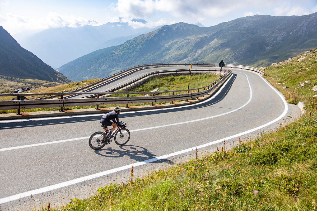
Road cycling in the Aosta Valley – major climbs and alpine routes
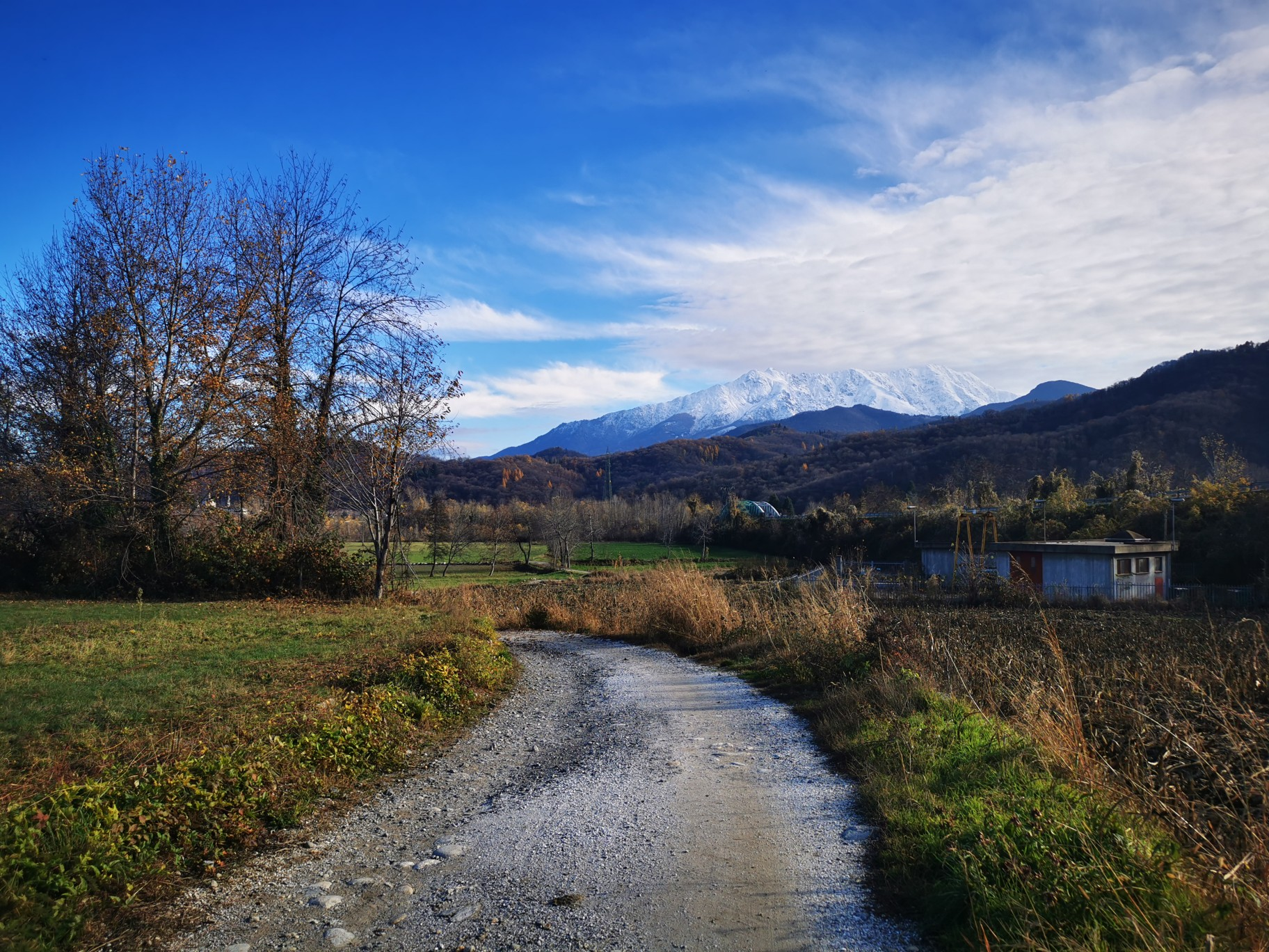
The alpine northwest – mountain gravel between Piedmont and the Aosta Valley
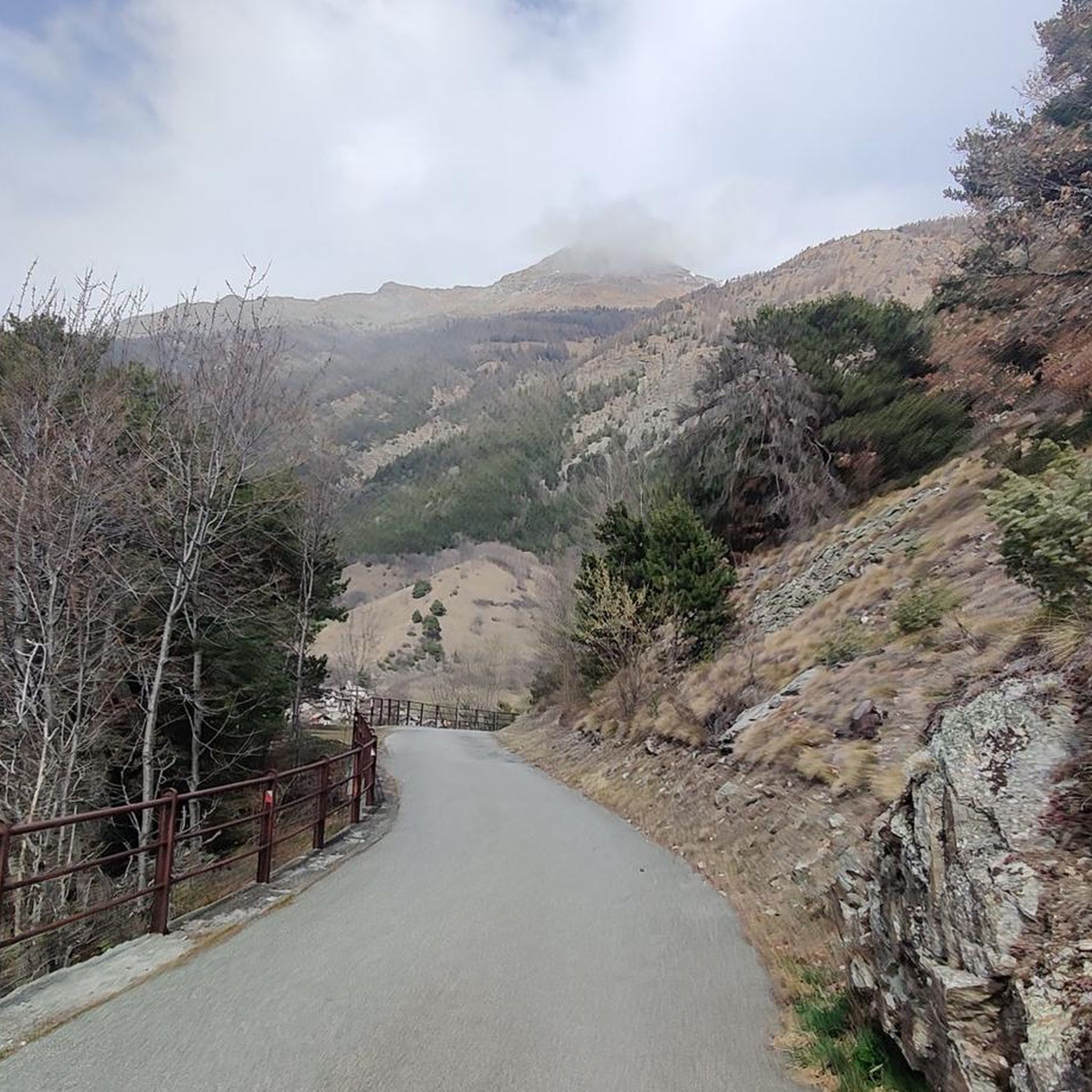
Road Cycling Routes around Saint-Christophe
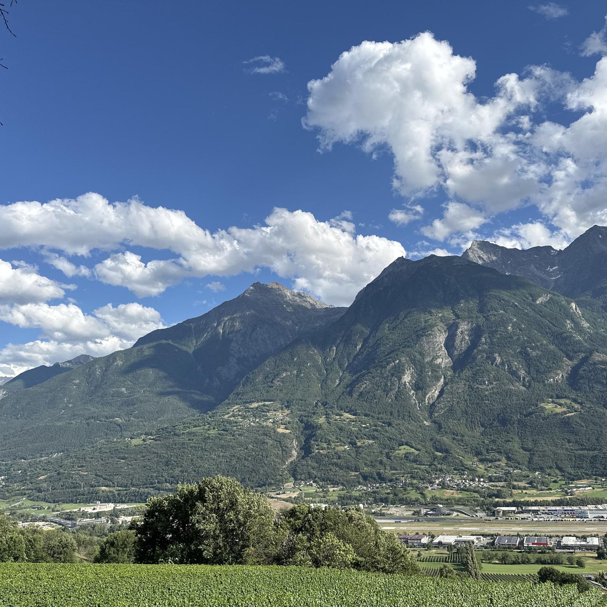
Running Trails around Saint-Christophe
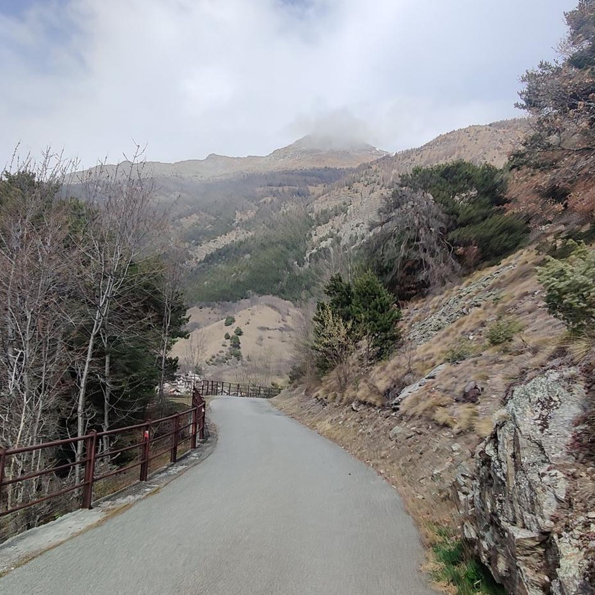
Cycling around Saint-Christophe

Gravel biking around Saint-Christophe
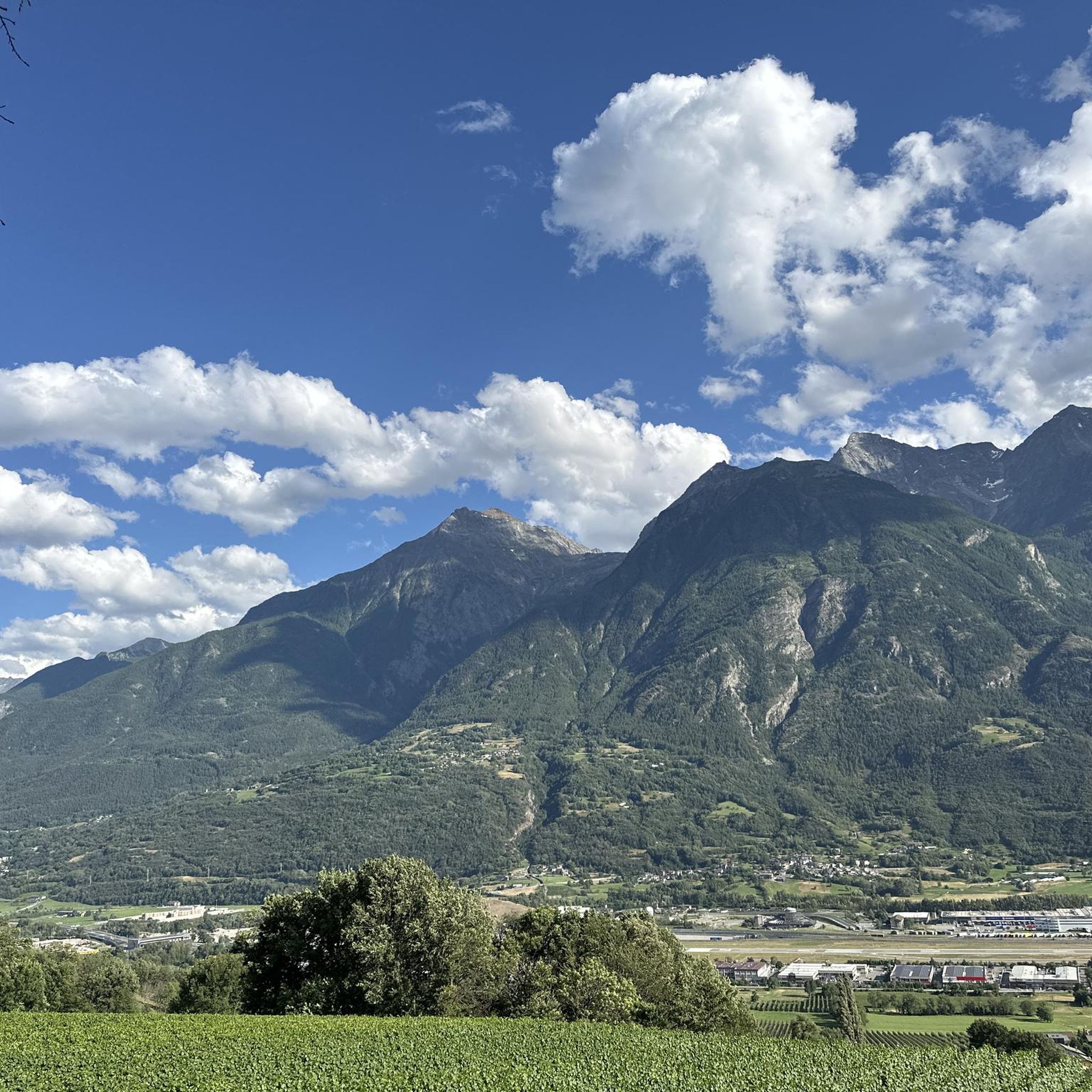
MTB Trails around Saint-Christophe
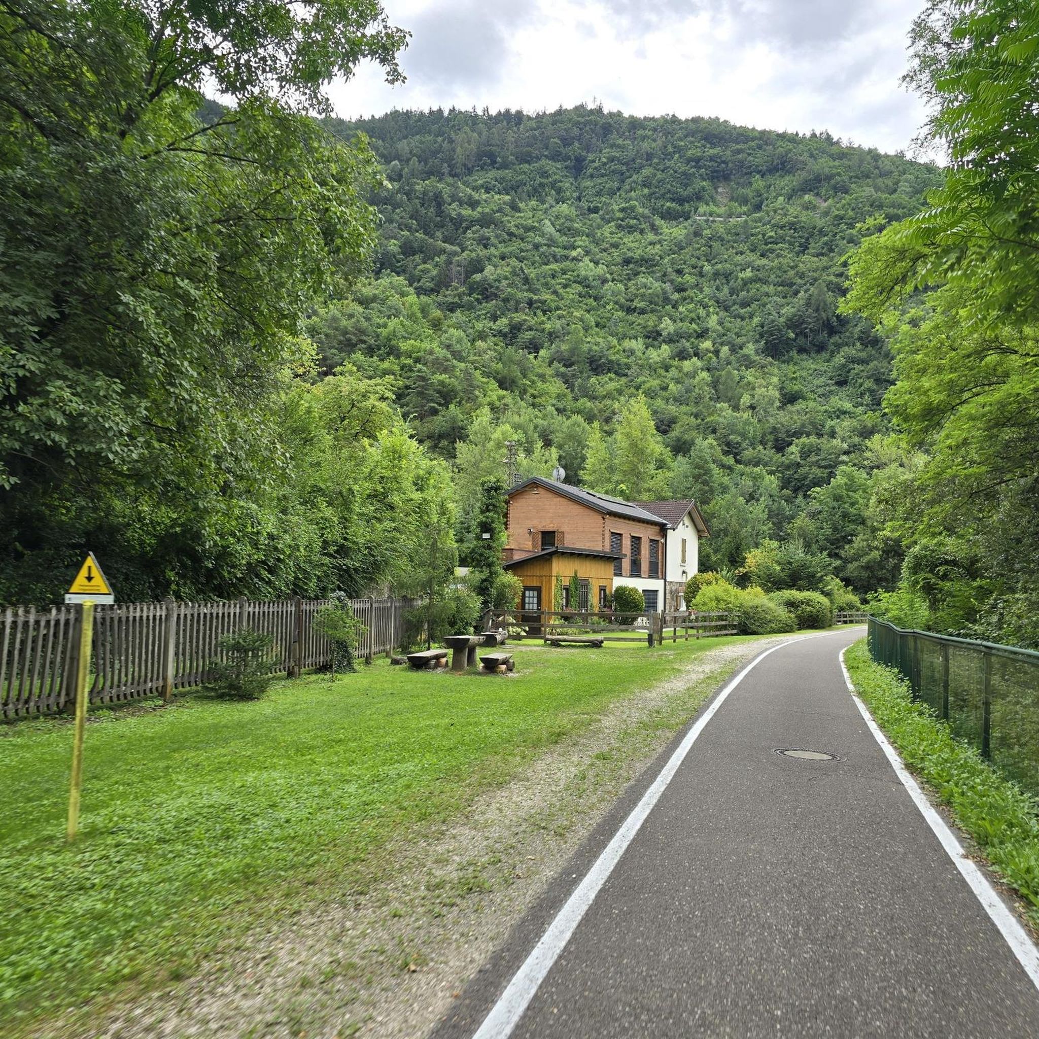
Mountain Hikes around Saint-Christophe


Tips from the Community

I confirm that the trail is closed as the landowner has put up a gate guarded by a very menacing dog, which can actually easily get out of the enclosure because the part facing the woods has gaps well known to the dog. A report has been made to the local police of Quart regarding the dog's dangerousness.
0
0

Very beautiful village to spend your hikes in. Drinking water fountain present
0
0

Climbing with bike up to Blavy is such a nice experience on its own: stunning views on the Alps!
0
0


The path is still marked as a hiking trail. The owner of... put up a fence around the house and let an aggressive dog 🐕 run free. The path is now also marked as private on the other side.
3
0
Beautiful green area equipped with many games for children, with a refreshment point and toilets. Excellent for a relaxing stop, especially in the summer.
0
0
In this section, the walkway along the Ru Pompillard becomes very narrow, in practice you find yourself walking inside the trench where the Ru pipeline passes. However, although some passages are exposed, you can always walk safely thanks to the fences that have been placed for protection.
0
0
The village of Veynes is located along the Ru Pompillard. From Veynes, you can take the path that runs along the Ru towards Roisan, or in the opposite direction, towards Quart. For this reason, Veynes is a privileged starting point for hikes along the Ru Pompillard.
0
0
Frequently Asked Questions
How many hiking trails are available in Saint-Christophe?
Saint-Christophe offers a wide variety of hiking experiences, with over 35 routes available. These trails cater to different skill levels, ranging from easy walks to more challenging ascents through mountainous terrain.
What kind of terrain can I expect on hikes around Saint-Christophe?
The terrain around Saint-Christophe is incredibly diverse, reflecting the various regions it encompasses. You can expect mountainous paths, historical routes, and varied forest and open landscapes. Some areas feature deep gorges like the Gorges du Guiers Vif, while others offer trails through limestone cliffs, such as those near La Roque Saint-Christophe. Expect significant elevation changes on many routes, especially in the more mountainous areas.
Are there easy hiking trails suitable for beginners in Saint-Christophe?
Yes, Saint-Christophe has several easy hiking options. For instance, there are 4 easy routes available, perfect for those new to hiking or looking for a relaxed stroll. The area near St-Christophe Chapel in Switzerland offers a short, gentle forest walk with superb views, suitable for an easier outing.
Are there challenging hikes for experienced trekkers in Saint-Christophe?
Absolutely. For experienced trekkers, Saint-Christophe offers 7 difficult routes. A prime example is the Mont Mary Trail, a demanding 9.5-mile (15.3 km) route with substantial elevation gain through mountainous terrain, typically taking over 8 hours to complete. Some paths, like parts of the 'Sarde Road' in Chartreuse, also require sure-footedness and alpine experience.
What natural features or landmarks can I see while hiking in Saint-Christophe?
Hiking in Saint-Christophe allows you to discover a wealth of natural and historical landmarks. You can explore stunning gorges like the Gorges du Guiers Vif or the Gorges de la Grotte de Saint-Christophe. The region also features beautiful lakes such as Lake Chamolé and the Lussert Lakes. Additionally, you might encounter unique geological formations like the massive limestone cliff at La Roque Saint-Christophe, a global reference in troglodyte architecture.
Are there any historical sites accessible via hiking trails?
Yes, Saint-Christophe is rich in history. You can hike along ancient paths like the Sardinian Way, which features historical descriptive panels and leads to the archaeological site of Fru. The Historic Ru Pompillard Trail from Veynes follows historical irrigation channels. The area also boasts numerous castles, such as Quart Castle, which can be incorporated into your hiking plans, for example, on the Junction of the Via Francigena – Quart Castle loop from Saint-Christophe.
Are there circular hiking routes in Saint-Christophe?
Yes, several circular routes are available. For example, the 'La boucle de l'Echaillon' in the Chartreuse region is a 6 km, 2.5-hour loop. In Beaujolais, Saint-Christophe-la-Montagne offers a 9.5 km circuit. The Church of Blavy loop from Saint-Christophe is another option, covering 13.7 km.
What do other hikers say about the trails in Saint-Christophe?
The trails in Saint-Christophe are highly regarded by the komoot community, with an average rating of 4.2 stars from over 180 reviews. Hikers often praise the varied terrain, the historical elements, and the stunning views encountered along the paths. Over 1000 hikers have used komoot to explore the region's diverse landscapes.
Is parking available at trailheads in Saint-Christophe?
Parking availability varies by specific trailhead and region. In popular areas like the Gorges de la Grotte de Saint-Christophe, designated parking is usually provided. For smaller, more remote trailheads, roadside parking might be an option, but it's always advisable to check specific route details or local signage before you go.
How can I reach hiking trailheads using public transport?
Public transport options depend heavily on the specific Saint-Christophe location you plan to visit. In some regions, local bus services may connect to villages near trailheads. For example, in the Chartreuse Regional Nature Park, some trailheads might be accessible via regional transport. It's recommended to check local transport schedules for the specific area you intend to hike in.
What is the best time of year to go hiking in Saint-Christophe?
The best time for hiking in Saint-Christophe generally depends on the specific region and desired activity. Spring and autumn often offer pleasant temperatures and vibrant scenery, ideal for most trails. Summer is excellent for higher-altitude routes, though some lower-lying areas might be warmer. In locations like Saint-Christophe near Verbier, some trails are also suitable for snowshoeing during winter, offering a different experience.
Are there family-friendly hiking options in Saint-Christophe?
Yes, there are family-friendly options, particularly among the easier trails. The 'La Voie Sarde et le pont romain' in the Chartreuse region is a relatively short 2 km round trip, suitable for families. The gentle forest path to St-Christophe Chapel near Verbier is another good choice for families looking for an accessible and scenic walk. Always check the difficulty and length of a route to ensure it's appropriate for all family members.
Most popular routes around Saint-Christophe
Most popular attractions around Saint-Christophe

Get inspired with the komoot mobile app


Explore more
Browse the best Hikes in other regions.
