The best MTB trails around Gignod
4.6
(429)
3,062
riders
21
rides
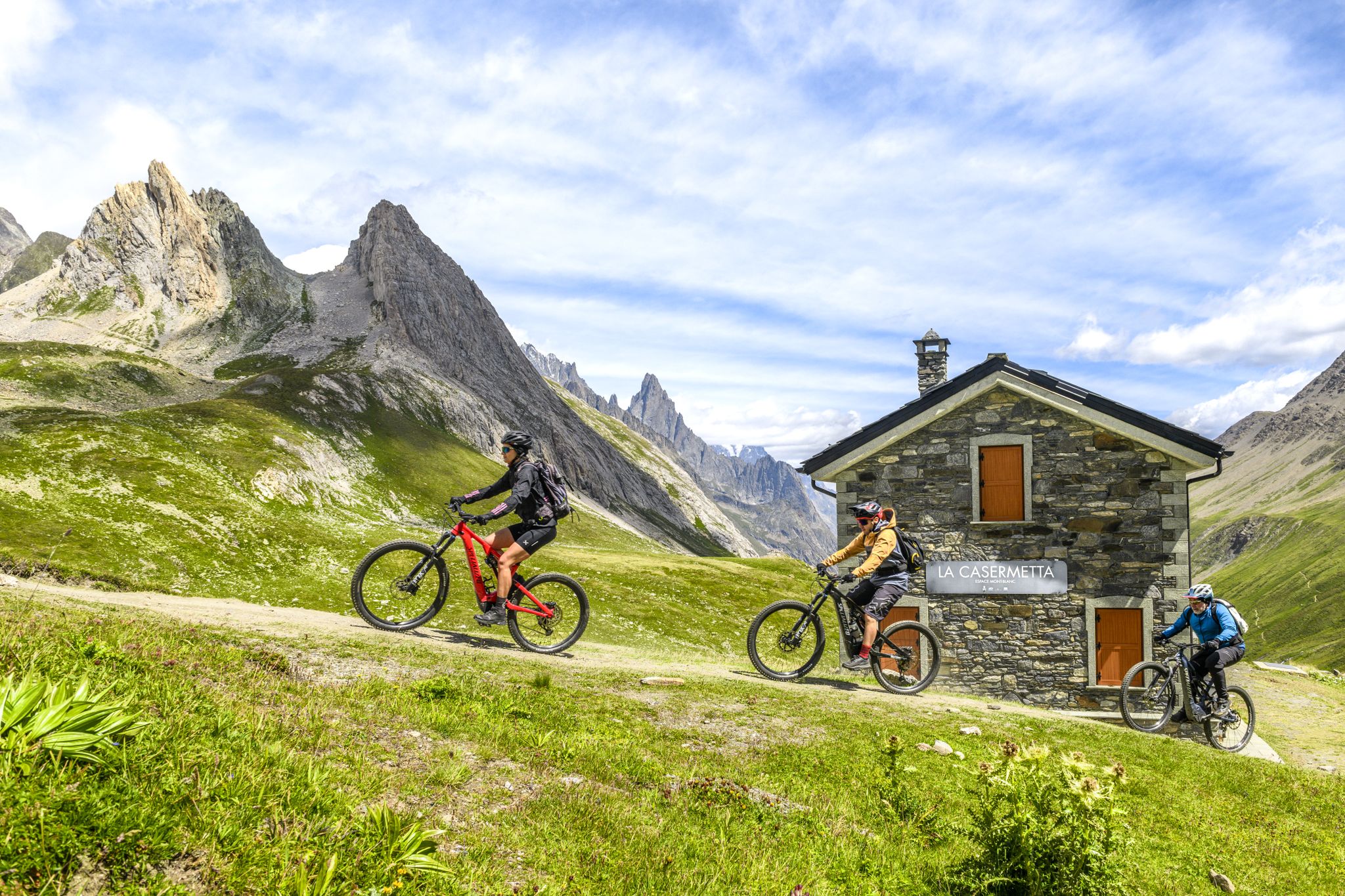
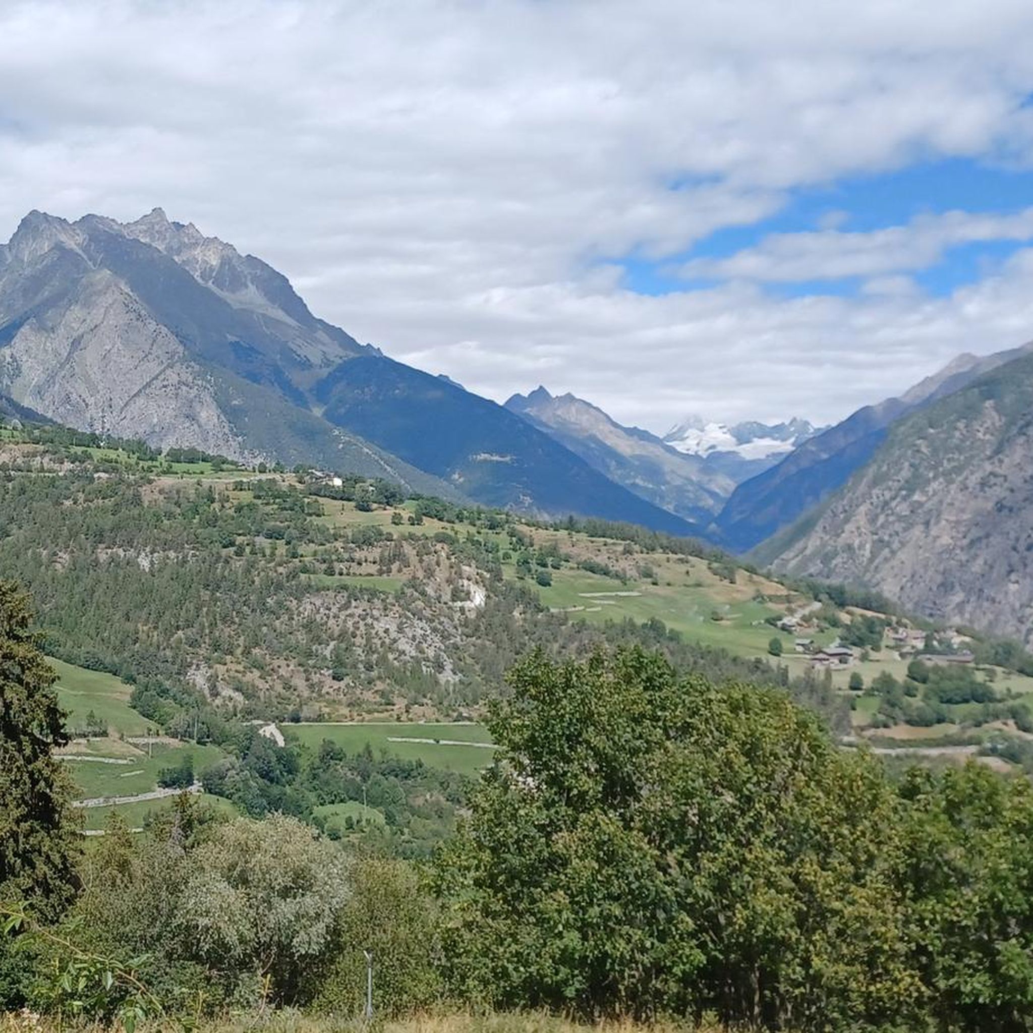
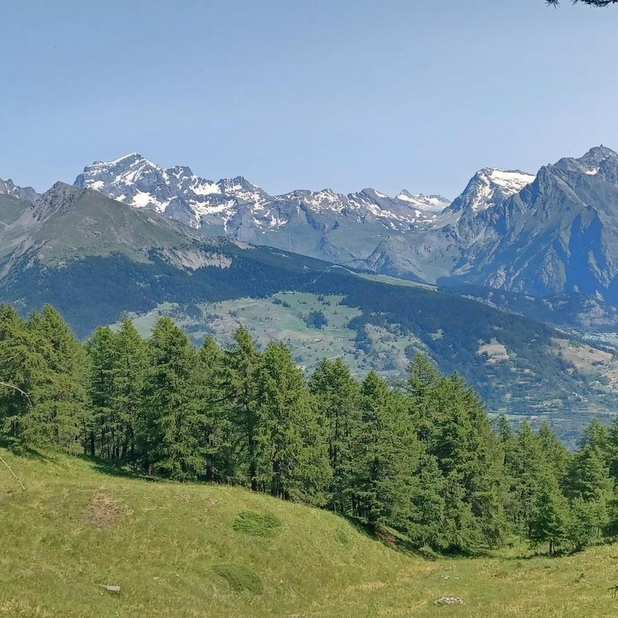
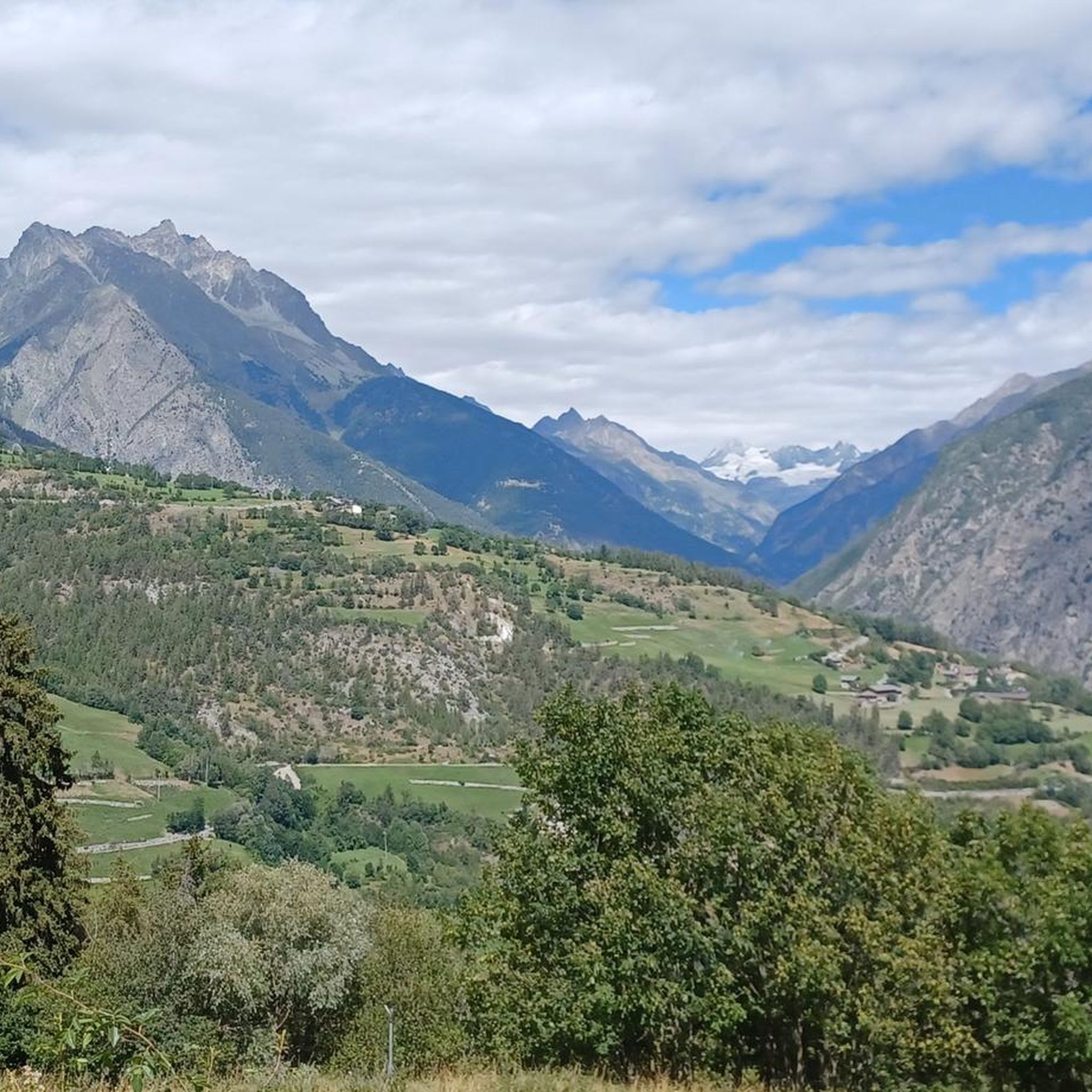
Mountain biking around Gignod offers diverse landscapes within Italy's Aosta Valley, situated at the foot of Punta Chaligne. The region features a network of trails winding through lush forests and alongside ancient irrigation canals, providing varied terrain for mountain bikers. Riders can experience significant elevation changes and panoramic views of the Valpelline mountains and the Grand Combin massif. The area's natural features include rugged mountain landscapes and picturesque valleys.
Best mountain bike trails around Gignod
- The most popular mountain bike…
Last updated: October 9, 2026
4.7
(11)
78
riders
51.8km
05:58
1,840m
1,840m
Hard mountain bike ride. Very good fitness required. Advanced riding skills necessary.
4.9
(18)
82
riders
54.7km
05:56
1,450m
1,450m
Hard mountain bike ride. Very good fitness required. Advanced riding skills necessary. Some portions of the route may require you to push your bike.

4.5
(17)
91
riders
38.8km
04:19
1,370m
1,370m
Hard mountain bike ride. Very good fitness required. Advanced riding skills necessary. Some portions of the route may require you to push your bike.
4.7
(7)
70
riders
24.3km
02:34
830m
830m
Moderate mountain bike ride. Good fitness required. Advanced riding skills necessary.
5.0
(2)
49
riders
27.2km
03:52
1,300m
1,300m
Hard mountain bike ride. Very good fitness required. Advanced riding skills necessary. Some portions of the route may require you to push your bike.
Get access to more routes and recommendations from other explorers.
Already have an account?
Our route recommendations are based on thousands of hikes, rides, and runs completed by other people on komoot.


Tips from the Community

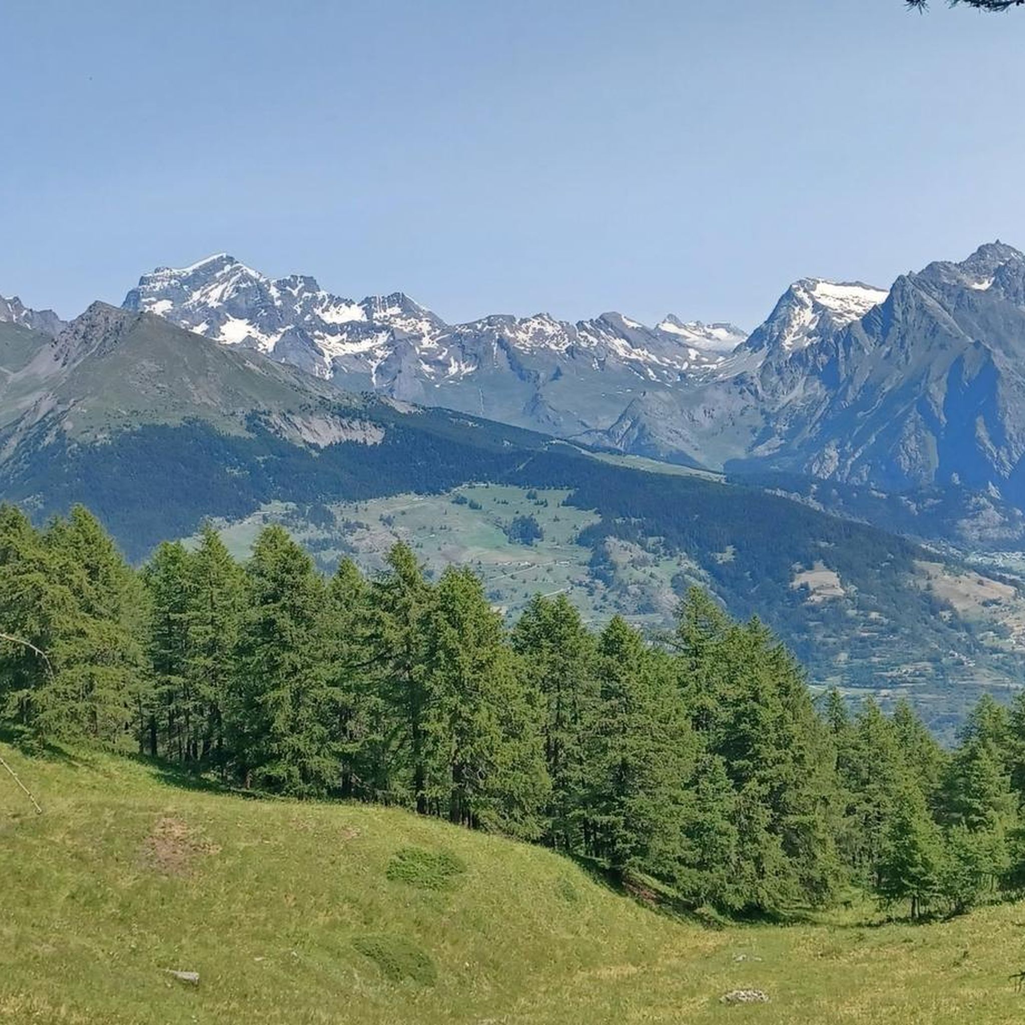
This pleasant gravel road climbs with regular gradients through woods, clearings and pastures up to the Rifugio Chaligne. Along the way, splendid views open up onto the Aosta valley and the surrounding mountains, making it one of the most appreciated panoramic climbs in the area.
0
0

these are splendid glacial lakes located at about 2,320 meters above sea level, a bit secluded and hidden, in a "comba" on the path to the Fenêtre Durand.
0
0

The tiny village of By is nestled in the splendid namesake basin surrounded by imposing peaks of surprising beauty, arranged in a worthy crown: the Grand Combin, Mont Velan, Mont Gelè and the rocky chain of the Morion, nicknamed "the ugliest mountains in the Aosta Valley". Departure and arrival: Col Champillon. From the pass, take the dirt road continuing from the asphalt, ignoring any deviations, and in just under 10 km you will find yourself in this magnificent basin dominated by a reservoir at 1988 m altitude, among horses and cows grazing freely; places like these are absolutely to be safeguarded and protected!
0
0

The des Thoules lakes occupy a shelf at about 2,320 meters in the Comba des Eaux Blanches, the valley that rises from the By basin towards the Fenêtre Durand, the ancient border pass with Swiss Valais. They are two modest-sized, intensely blue basins, nestled next to each other on an alpine meadow plateau.
0
0

The crystal clear and very cool mountain water is channelled downhill for irrigation. An refreshing cool-down is ensured at any time.
0
0

The Tour du Mont Fallère is a charming circular hiking route that covers about 35 kilometers in the heart of the Aosta Valley, winding around the mountain of the same name amidst panoramic peaks, forests, and alpine pastures. Designed to be completed in two or three stages on foot or by mountain bike, the trail passes through several high-altitude structures in the area, including the historic Rifugio Chaligne and the Rifugio Mont Fallère.
0
0
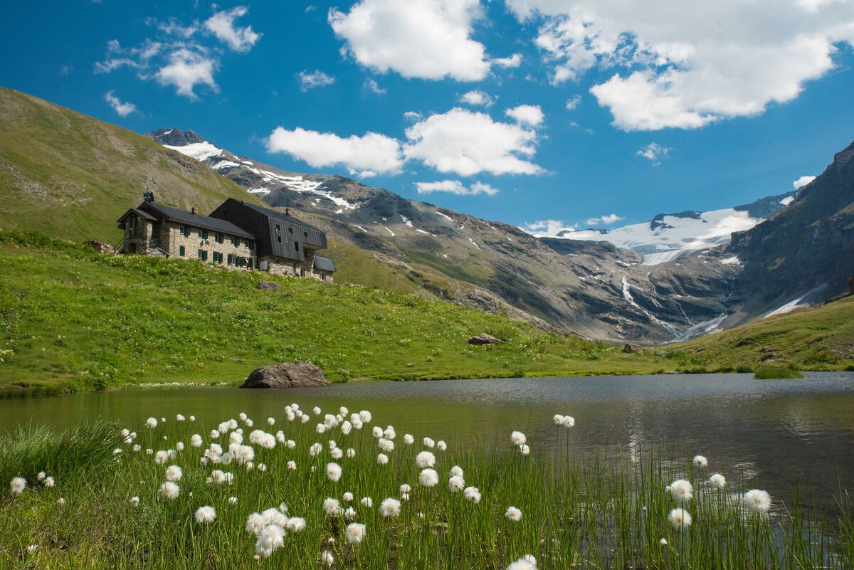
Carved out of the eco-sustainable renovation of a typical stone and wood hut at an altitude of 1,943 meters, Rifugio Chaligne in Gignod offers 32 beds and a cuisine based on dairy products from local pastures. Reachable on foot in just over an hour from Buthier or by mountain bike along the rural road, the structure is part of the famous Tour du Mont Fallère hiking circuit.
1
0

Very beautiful village to spend your hikes in. Drinking water fountain present
0
0
Frequently Asked Questions
How many mountain bike trails are there around Gignod?
Gignod offers a selection of 20 mountain bike trails. These routes cater to various skill levels, with 8 moderate and 12 difficult options available for exploration.
What is the best time of year to go mountain biking in Gignod?
The most favorable time for mountain biking in Gignod is typically from late spring through early autumn. During these months, the weather is generally milder, and the trails are free from snow, allowing for optimal riding conditions across the diverse landscapes of the Aosta Valley.
What kind of terrain can I expect on mountain bike trails in Gignod?
Mountain bike trails in Gignod feature diverse terrain, including routes that wind through lush forests and alongside ancient irrigation canals like the Ru Neuf. You can expect significant elevation changes, offering panoramic views of the Valpelline mountains and the majestic Grand Combin massif. Some challenging routes may require advanced skills and even pushing your bike in certain sections.
Are there any family-friendly mountain bike trails in Gignod?
While Gignod's trails are primarily rated as moderate or difficult, there are no trails specifically categorized as easy. Families with younger or less experienced riders might find the existing routes challenging due to significant elevation changes and technical sections. It's advisable to check individual route details for suitability.
Are there any circular mountain bike routes in Gignod?
Yes, many of the mountain bike trails around Gignod are designed as loops. For instance, you can explore the Chaligne Hut – Ru Neuf Canal Path loop from Gignod, which is a difficult 38.8 km route, or the Chaligne Hut – Beautiful trail along the loop from Gignod, a 25.1 km difficult loop.
What interesting landmarks or natural features can I see while mountain biking in Gignod?
The region around Gignod offers stunning natural beauty and points of interest. You'll encounter lush forests, picturesque landscapes, and ancient irrigation canals. The trails often provide breathtaking views of the Valpelline mountains and the Swiss Grand Combin massif. The Pier Giorgio Frassati Refuge and the Punta Replan viewpoint are notable spots you might pass or see from the trails.
Are there any bike parks near Gignod?
Yes, the region around Gignod features several bike parks. Notable options include Pila Downhill and Starting point Paths Saint-Christophe, which offer a variety of trails for different skill levels.
What do other mountain bikers enjoy most about mountain biking in Gignod?
The mountain biking experience in Gignod is highly rated by the komoot community, with an average score of 4.6 stars from over 380 reviews. Riders frequently praise the diverse landscapes, the challenging nature of the routes, and the stunning panoramic views of the Valpelline mountains and the Grand Combin massif.
Are there any moderate mountain bike trails for intermediate riders?
Yes, Gignod offers 8 mountain bike trails categorized as moderate. These routes provide a good balance of challenge and accessibility for intermediate riders looking to explore the area's scenic beauty without tackling the most difficult sections.
Is it possible to access mountain bike trails in Gignod using public transport?
Gignod is a village in the Aosta Valley, and while local bus routes may connect to the area, specific public transport access directly to trailheads for mountain biking can vary. It's recommended to check local bus schedules and routes in advance to plan your access to the trails.
Are there any specific trails that follow ancient irrigation canals?
Yes, the region is known for trails that run alongside ancient irrigation canals. A prominent example is the Beautiful trail along the – Ru Neuf Canal Path loop from Gignod, a 53.1 km difficult route that leads through lush forests and follows the historic Ru Neuf canal.
What are some of the more challenging mountain bike routes in Gignod?
For experienced riders seeking a challenge, Gignod offers several difficult routes. The Beautiful trail along the – Ru Bourgeois Trail loop from Gignod is a 58.0 km difficult trail with expansive alpine views. Another demanding option is the Beautiful lake! – Alpine Votive Chapel loop from Gignod, a 42.9 km difficult path featuring significant elevation changes.
Most popular routes around Gignod
Most popular attractions around Gignod

Get inspired with the komoot mobile app


Explore more
Browse the best MTB trails in other regions.
