The best running trails around Verrès
4.4
(14)
1,424
runners
17
runs
Jogging routes around Verrès offer a diverse range of terrain within Italy's Aosta Valley. The region features a network of trails, from flatter paths along the valley floor and rivers to more challenging ascents into the surrounding hills. Runners can expect varied surfaces, including tarmac roads, grass, and dirt tracks, providing different training experiences. The landscape is characterized by historical landmarks like Verrès Castle and scenic views of the central valley and nearby mountains.
Best jogging routes around Verrès
- The…
Last updated: October 8, 2026
5.0
(1)
87
runners
23.9km
03:31
1,110m
1,110m
Hard run. Very good fitness required. Sure-footedness, sturdy shoes and alpine experience required.
27
runners
16.6km
01:45
170m
170m
Hard run. Very good fitness required. Mostly paved surfaces. Suitable for all skill levels.

22
runners
14.5km
01:31
100m
100m
Moderate run. Good fitness required. Mostly paved surfaces. Suitable for all skill levels.
14
runners
8.14km
00:51
50m
50m
Moderate run. Good fitness required. Mostly paved surfaces. Suitable for all skill levels.
12
runners
33.5km
03:38
390m
390m
Hard run. Very good fitness required. Mostly paved surfaces. Suitable for all skill levels.
Get access to more routes and recommendations from other explorers.
Already have an account?
Our route recommendations are based on thousands of hikes, rides, and runs completed by other people on komoot.
Start today with a free account
Your next adventure awaits.
Popular around Verrès

Cammino Balteo – castles, vineyards and trails of the Aosta Valley
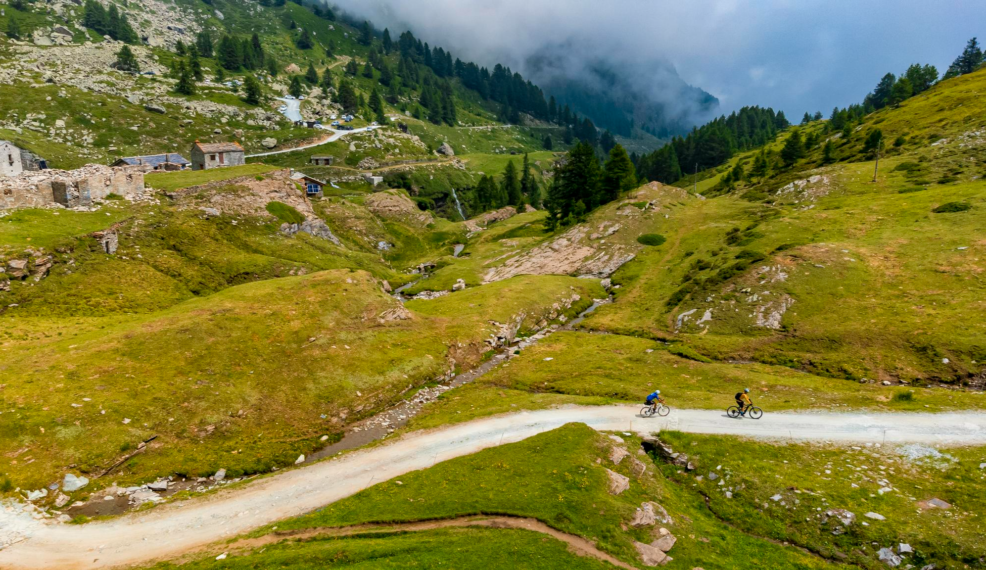
Must-do gravel routes in the Aosta Valley – the heart of the Italian Alps

Paths, castles and views of Italy’s Aosta Valley – Cammino Balteo
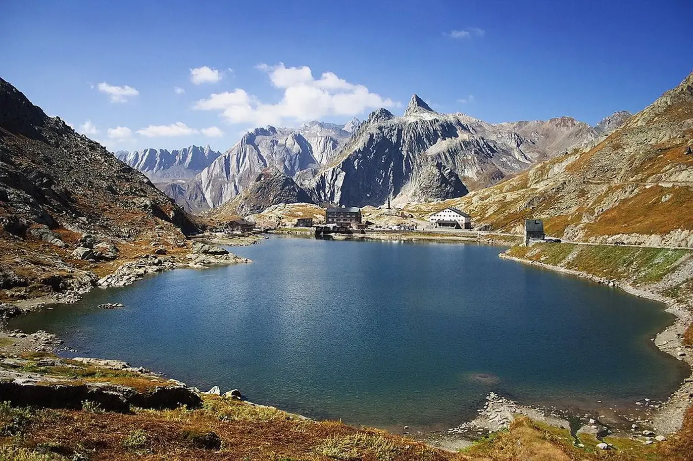
A cycling pilgrimage — history and nature on Italy’s Via Francigena
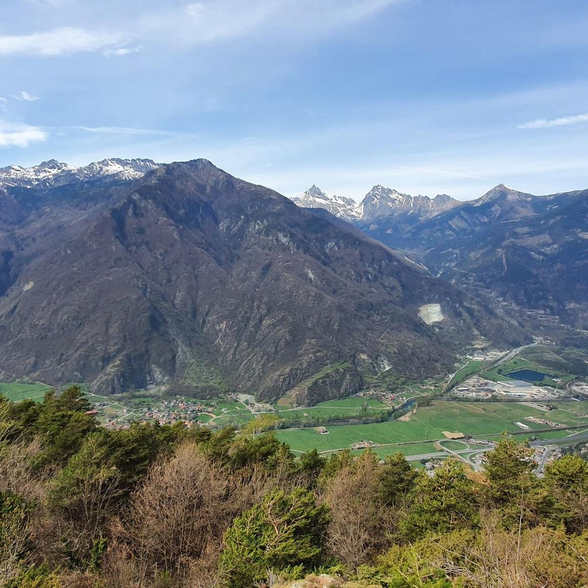
Hiking around Verrès
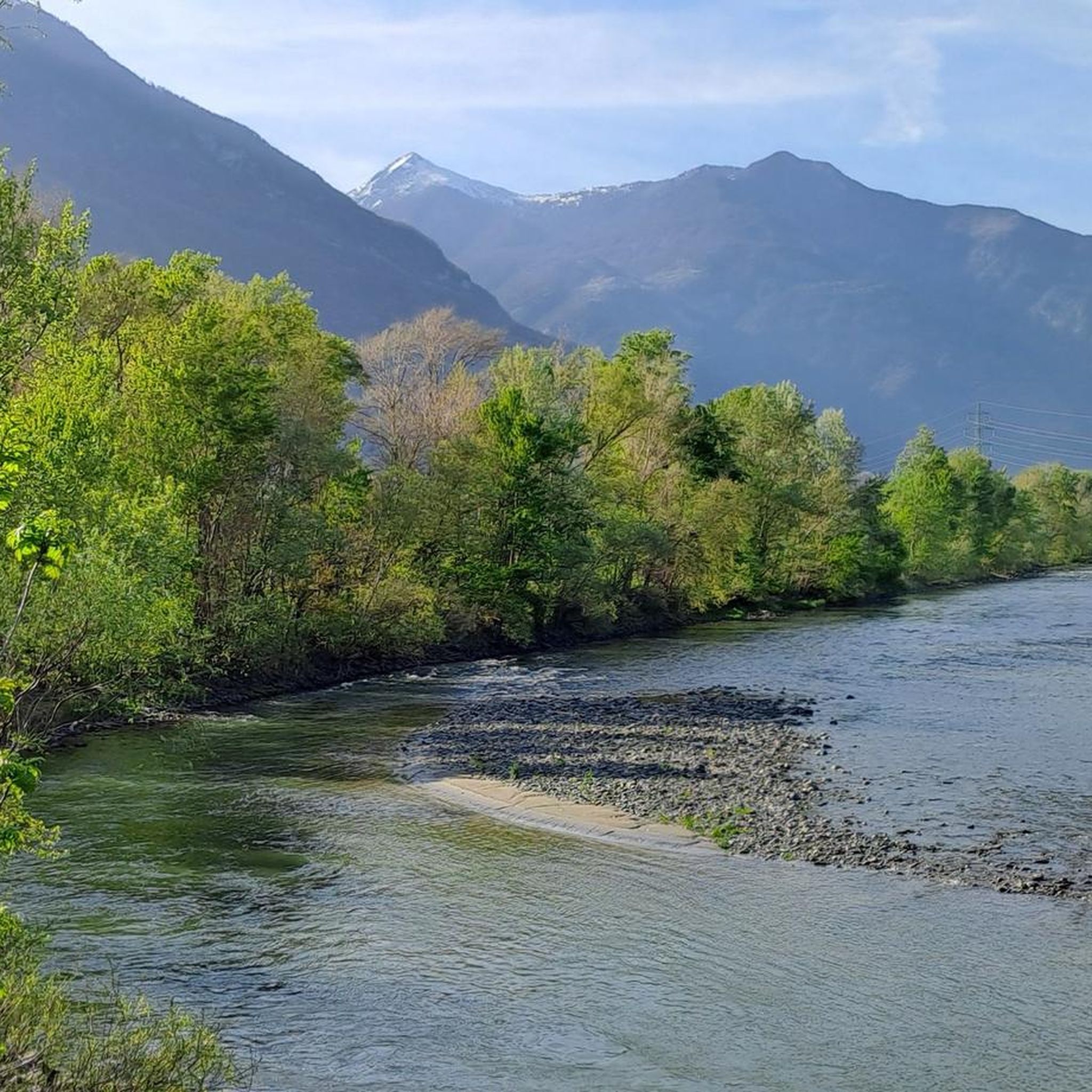
Road Cycling Routes around Verrès
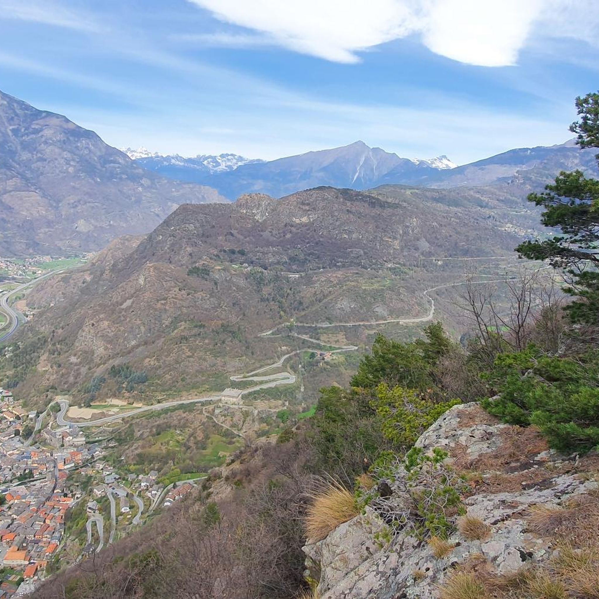
Cycling around Verrès

Gravel biking around Verrès
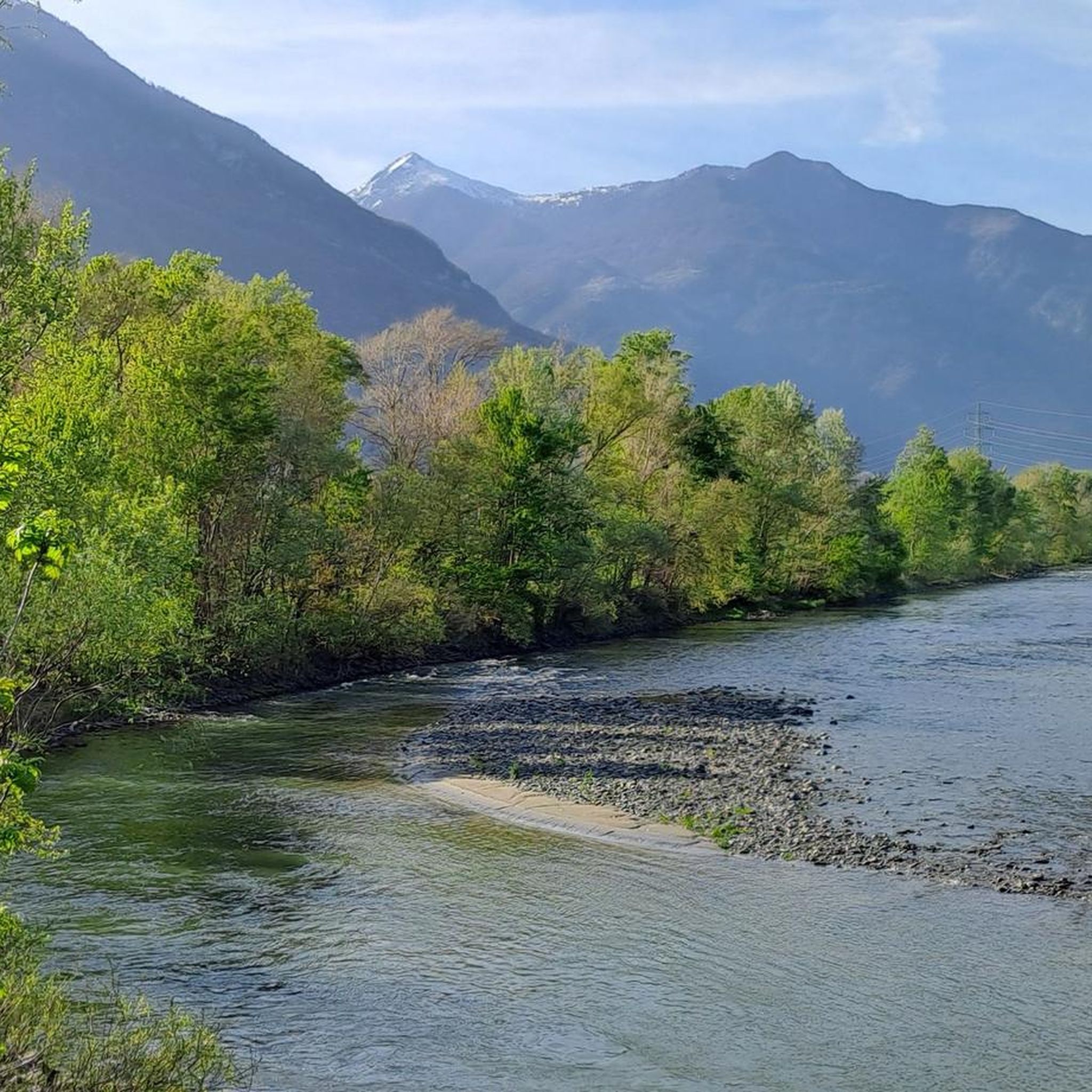
MTB Trails around Verrès
Other adventures around Verrès


Tips from the Community

The Forte di Bard seen from the bridge over the Dora Baltea river offers one of the most iconic and photographed views in the Aosta Valley. This spectacular perspective captures the imposing, craggy fortress that dominates the village below and the river waters.
0
0

Beautiful bridge connecting Hone to Bard. Magnificent view of the fort.
2
0

While traveling along the Via Francigena, on the stretch from Arnad to Bard, you cross this characteristic three-arched pedestrian bridge. On the left orogr. area with a bench for rest.
1
0

The Roman road of the Gauls, built to connect Rome with the Rhone Valley, has in the Donnas section one of its most characteristic and spectacular points, carved into the living rock for a length of 221 meters. At a place where in antiquity the rocky promontory plunged into the waters of the Dora, the Romans launched a real challenge to nature by carving a living rock on which they could draw perfectly vertical walls and in whose womb they carved the roadbed. Exciting and unusual, here the Via delle Gallie gives its best by offering the spectacle of a vaulted passage 4 meters thick, 4 meters high and almost 3 meters wide which eloquently illustrates the amount of rock removed and shows all the refinement of a road engineering that has never been reached again until viaducts and modern tunnels. In the Middle Ages it served as the gate of the village, which was closed at night; the other defenses were natural: on one side the mountain and on the other the river. A fundamental road, which has been used a lot over the centuries, as evidenced by the deep ruts left by the passage of carts and the wear of the walking surface which has been patched and repaired at various points over time. A little further on, on the right, we recognize the excellent profile of a milestone, also spared in the rocky bank, which informs us of the distance to Augusta Praetoria (the current city of Aosta): XXXVI miles (about 54 km).
6
0

The origin of this bridge is uncertain, but it was most likely built as early as Roman times. The first documents in which this bridge is mentioned, however, date from the second half of the 13th century. From 1272, the bridge is called the Hôhne Bridge or Bard Bridge in Latin and then in Old French. Apart from its history, the bridge is a beautiful photo point of Fort Bard.
43
0
In addition to many temporary exhibitions, often aimed at promoting and learning about the culture and territory of the Aosta Valley and the Alps, the Forte di Bard includes three permanent museums. 1.) On the top floor is the Museum of the Alps. Here the secrets of the mountain have been presented through a multimedia path and interactive installations. A truly worthwhile and informative museum!!! 2.) A second museum room is dedicated to the prisons of the fort, twenty-four narrow cells (1.3 x 2 meters) distributed in four areas and accessed from a gallery decorated with historical prints and paintings that tell the story of the building. 3.) Finally, the Fortress and Border Museum of the Opera Ferdinando offers a journey through the history of the Bard through a parade of historical and plastic weapons, including scale models of defensive structures and miniature armies. Source: https://www.visititaly.eu/it/luoghi-e-itinerari/cosa-vedere-a-bard-borgo-in-valle-aosta
43
0
The Roman road of the Gauls, built to connect Rome with the Rhône valley, has a remarkable and spectacular point in the Donnas section. Over a length of 221 meters, the Romans carved out a living rock, on which they could build perfectly vertical walls and in which they created the roadbed. The Via delle Gallie reveals a vaulted passage 4 meters thick, 4 meters high and almost 3 meters wide, which illustrates the impressive amount of rock removed. This advanced road technique was unparalleled until modern viaducts and tunnels. In the Middle Ages, this served as the gateway to the village, which was closed at night. The other natural defenses were the mountain on one side and the river on the other. This fundamental road has been used extensively over the centuries, as evidenced by the deep ruts of passing carts and the wear on the walking surface, which has been repaired at various points over time. Further on, on the right, we see a milestone that informs us of the distance to Augusta Praetoria (modern Aosta): XXXVI miles (about 54 km).
1
0
The Fort de Bard, which has remained almost unchanged since its reconstruction, represents one of the best examples of a dam fortress from the beginning of the 19th century. The stronghold has three main buildings, on several levels, between 400 and 467 meters high: from the lowest, the Ouvrage Ferdinand, to the middle one, the Ouvrage Victor and, at the top, the Ouvrage Charles-Albert, a whole of 283 rooms. The Ouvrage Ferdinand is shaped like pincers and has two buildings, the Ouvrage Ferdinand Inférieur and the Ouvrage Ferdinand Supérieur. The Ouvrage Mortai, placed behind the latter and the adjoining Powder Magazine house the rooms intended for the didactic laboratories. About halfway up the rock, stands the Ouvrage Victor where you will find "Les Alpes des Enfants", an interactive trail. At the top, the most imposing of the three structures has an enclosure on which all the buildings rest and which contains the Ouvrage de Gola, its courtyard, which can defend the south side, and the Ouvrage Charles-Albert and its large quadrangular courtyard of the Place d'Armes, surrounded by large arcades. The first floor of the Ouvrage Charles-Albert is dedicated to the "Musée des Alpes". Inside the structure, there is also a tour of the history of the Fort, in the Prison rooms. The Fort is accessible by an external road, on the south side, which leads to the courtyard of the Ouvrage de Gola, and by an internal road which winds in narrow steep bends, protected by large stone walls and which goes up the opposite slope towards the North, thus allowing one to reach the Ouvrage Charles-Albert. These two roads are only accessible on foot. The summit of the rock and the fortress is easily accessible thanks to the panoramic lifts which, from the village of Bard to the foot of the Fort, provide access to the Ouvrage Charles-Albert and therefore to the Museum of the Alps. https://www.viefrancigene.org/fr/resource/poi/forte-di-bard/
6
0
Frequently Asked Questions
How many running routes are available around Verrès?
Verrès offers a wide selection of running routes, with over 100 trails documented on komoot. These range from easy jogs along the valley floor to challenging mountain runs, catering to various fitness levels.
Are there any easy or beginner-friendly jogging routes in Verrès?
Yes, Verrès has several easy running routes suitable for beginners or those looking for a relaxed jog. There are 5 easy routes available, often found along the valley floor or river paths, providing gentler terrain compared to the more challenging mountain trails.
What kind of terrain can I expect on the running trails in Verrès?
The running trails in Verrès feature a diverse mix of terrain. You'll find tarmac roads, grass paths, and dirt tracks. This variety allows for different training experiences and engages various muscle groups, from flat valley paths to more significant ascents in the hills.
Are there any circular running routes around Verrès?
Yes, many of the running routes around Verrès are designed as loops. For example, the Issogne Castle – Verrès Castle loop from Verres is a moderate 14.5 km circular path offering views of two prominent castles. Another option is the Running loop from Arnad, which is a moderate 7.2 km route.
What historical landmarks can I see while jogging in Verrès?
Verrès is rich in history, and many running routes pass by significant landmarks. You can jog past the imposing Verrès Castle, which offers panoramic views, or the Collegiate Church of Saint-Gilles in the historic center. The Echallod Stone Bridge – Issogne Castle loop from Verrès connects historical sites with scenic valley paths.
Are there any running routes with scenic viewpoints in Verrès?
Absolutely. Verrès offers breathtaking panoramic views of the central valley and surrounding mountains, including peaks like Mont Avic and Monte Rosa. Routes that ascend to higher elevations, such as those towards the Col d'Arlaz plateau or near the Barbustel Refuge at Lac Blanc, provide stunning vistas. You can also find a dedicated highlight for View from Colle du Lac Blanc.
Can I find long-distance running trails near Verrès?
For those seeking longer runs, Verrès is part of the extensive Cammino Balteo and features sections of the historic Via Francigena, offering extended paths through the region's natural beauty. A notable longer route is the Fort Bard – Roman Arch and Road in Donnas loop from Verres, which spans 31.6 km.
Are there any waterfalls or lakes to see on running routes in Verrès?
Yes, the region boasts beautiful natural features. You can find routes that pass by Lake Ville, which offers picturesque loops, or explore the area around Lake Muffé. The Arlaz Waterfall is another natural monument worth seeking out.
What do other runners enjoy most about jogging in Verrès?
The running experience in Verrès is highly rated by the komoot community, with an average score of 4.2 stars from over 23 reviews. Reviewers often praise the diverse terrain, the stunning mountain views, and the opportunity to combine physical activity with exploring historical landmarks like the castles.
Are there challenging running trails for experienced runners in Verrès?
Verrès is an excellent destination for experienced runners looking for a challenge. Out of the 108 routes, 80 are classified as difficult, featuring significant elevation gains and varied terrain. These routes often lead into the surrounding mountains, offering strenuous workouts and rewarding views.
Is it possible to find less crowded running routes in Verrès?
While popular routes can see more activity, the extensive network of trails around Verrès means you can often find quieter paths, especially if you venture slightly off the main tourist trails or explore some of the more challenging mountain routes. The region's natural beauty extends beyond the most frequented spots.
Are there any running routes suitable for families in Verrès?
For families, the easier and moderate routes along the valley floor or around natural features like Lake Ville are generally more suitable. These paths tend to have less elevation gain and offer a pleasant environment for a family jog or walk.
Most popular attractions around Verrès

Get inspired with the komoot mobile app


Explore more
Browse the best Running Trails & Routes in other regions.
