The 18 Most Amazing Peaks around Sarre
Mountain peaks around Sarre, situated in the Aosta Valley, offer diverse opportunities for exploration. This region is characterized by its mountainous terrain, featuring prominent peaks of the Graian Alps and views of major 4,000-meter summits like Mont Blanc and Gran Paradiso. The area provides a range of natural features, from high-altitude viewpoints to challenging summits and scenic mountain passes, making it a notable destination for outdoor enthusiasts.
Best mountain peaks around Sarre
- The most popular mountain peaks is Punta Replan…
Last updated: October 9, 2026
Punta Replan
Highlight • Viewpoint
Translated by Google •
Tip by

Grand Arpilles Trail
Highlight • Trail
Translated by Google •
Tip by

Sign up now to discover places like this
Get recommendations on the best single tracks, peaks, & plenty of other exciting outdoor places.
Col de Champillon
Highlight • Mountain Pass
Translated by Google •
Tip by

Monte Emilius Summit and Statue
Highlight • Summit
Translated by Google •
Tip by

Colle Tsa Seche
Highlight • Mountain Pass
Translated by Google •
Tip by

Sign up for free to discover even more peaks around Sarre.
Already have an account?
Start today with a free account
Your next adventure awaits.

Tips from the Community

L'Alpe Grandes Arpilles is an alpine pasture located at an altitude of approximately 2090-2137 meters, in the Vétan basin. It is a cluster of huts, now largely reduced to ruins, situated in an open position overlooking the vast pastures that extend at the foot of Punta Leysser and Mont Fallère. It can be reached from Chatelanaz by following the winding dirt road, or more directly by ascending the slope from Thoules after crossing a stream. The pasture marks the intersection point with the cross-country road that continues along the mountainside towards the Mont Fallère Refuge, thus serving as a natural crossroads for hikers, snowshoers, and ski tourers. The tree vegetation thins out here until it disappears, giving way to grassy expanses that in winter transform into vast snowy slopes. The panorama is wide and open: to the south, one can admire the Grivola and the peaks of Gran Paradiso, while on clearer days, Mont Blanc can also be glimpsed.
0
0

Farm road to climb to the Mont Fellere Refuge
0
0

Very panoramic hill, reachable only with bike on your shoulder
0
0

https://youtu.be/Pxndx9TNM5U?si=mH5XT38nxmCVjLSr Push, lift, and drag until you're over it, then you have a beautiful descent to Cogne.
0
0

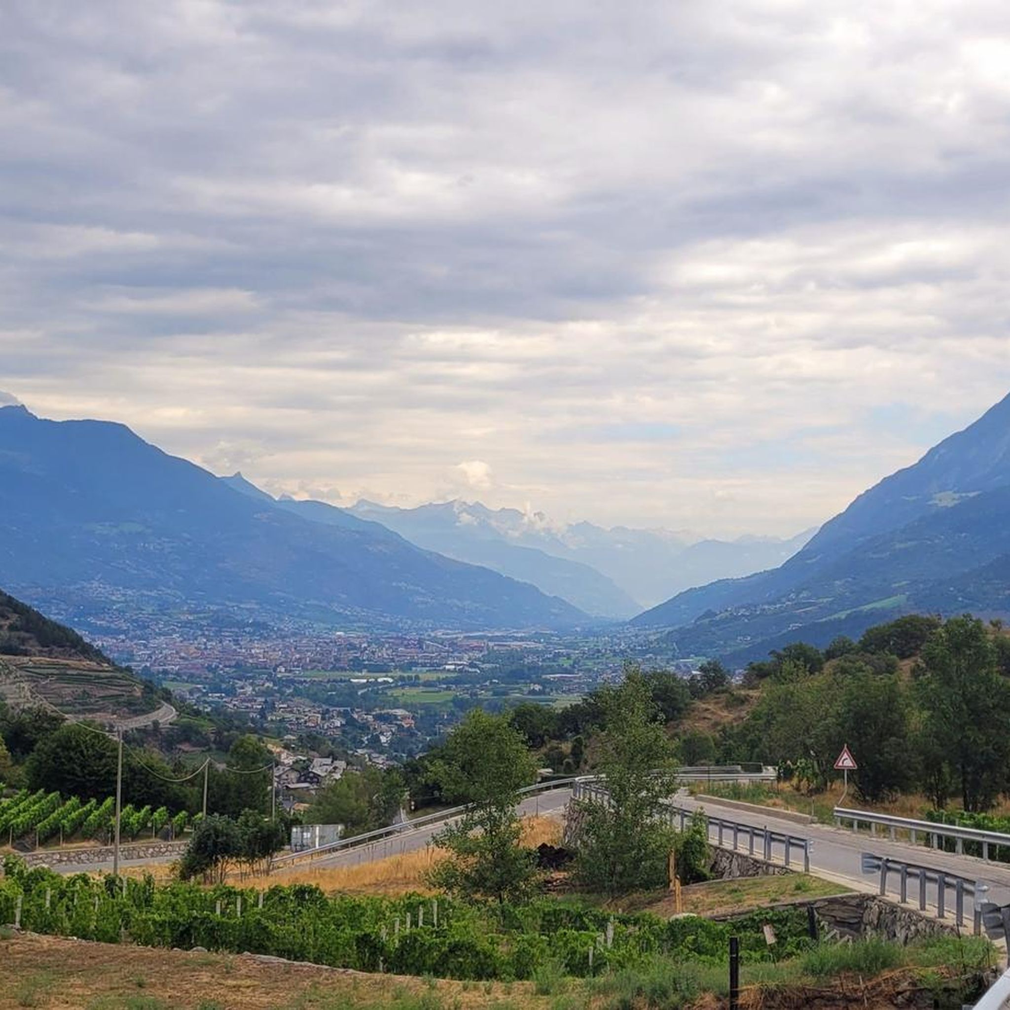
A fantastic view, weather permitting: Mont Blanc, Grandes Jorasses, Matterhorn, Punta Rosa. The overview board tells you where each peak is located.
0
0

The Fallere with its statues is always beautiful
0
0

Nice, even driveway with enough distractions along the way! 🙂
0
0

Mount Emilius, m. 3,559 s.l.m., is a mountain of the Graian Alps located in the Aosta Valley. Before 1839, it was known as Pic de dix heures, Pic Chamosser or Pic Chamoisier, later the peak was therefore named in honor of the fourteen-year-old Émilie Argentier who climbed it that year.
4
0
Frequently Asked Questions
What are the most popular mountain peaks and viewpoints around Sarre?
Visitors to Sarre frequently enjoy Punta Replan, a viewpoint offering stunning vistas of numerous 4,000-meter peaks like Mont Blanc and Monte Rosa, complete with ceramic orientation boards. Another highly regarded spot is Col de Champillon, a mountain pass at 2,709 meters, known for its breathtaking panoramic views of Mont Blanc, the Grand Combin, and the Gran Paradiso massif.
Are there challenging mountain peaks for experienced hikers near Sarre?
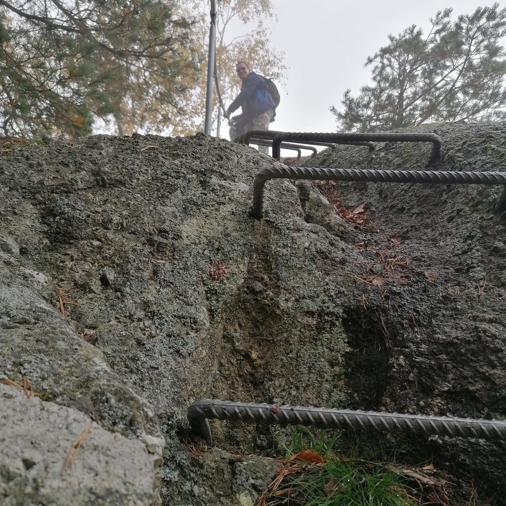
Yes, for experienced hikers, Monte Emilius Summit and Statue offers a challenging ascent, including a via ferrata along its ridge. This 3,559-meter peak provides an incredible panorama over the entire Aosta Valley and major Alpine giants. Additionally, mountain passes like Colle Tsa Seche and Col Fetita are considered challenging, with technical sections and engaging descents.
What kind of natural features and views can I expect from the peaks around Sarre?
The peaks around Sarre offer high-altitude viewpoints with extensive panoramas. From locations like Punta Replan and Col de Champillon, you can admire iconic 4,000-meter peaks such as Mont Blanc, Monte Rosa, Gran Paradiso, and the Grand Combin. The region is characterized by its mountainous terrain within the Graian Alps, providing diverse natural landscapes.
What outdoor activities can I do near the mountain peaks around Sarre?
Beyond peak bagging, the area around Sarre is excellent for various outdoor activities. You can find numerous routes for cycling, including easy loops like the 'Arch of Augustus – Porta Pretoria (Aosta) loop' or more difficult ones like the 'Sarre Castle – Châtel-Argent Castle loop'. There are also running trails, such as the 'Bridge over the Dora Baltea – Gressan Green Area loop', and challenging MTB trails like the 'Pila Downhill loop'.
Are there specific hiking trails to reach these mountain peaks?
Yes, many peaks are accessible via marked trails. For instance, Punta Replan is easily reachable with about an hour's walk from the chairlift. To reach Colle Tsa Seche, you can follow path 2A from Gimillan via the Arpisson pasture. For Monte Emilius, there's a via ferrata route from the Federigo camp, as well as a normal route via the south ridge.
What is the historical significance of Monte Emilius?
Monte Emilius, standing at 3,559 meters, was previously known by names like Pic de dix heures or Pic Chamosser. It was renamed in 1839 to honor Émilie Argentier, a fourteen-year-old who climbed it that year, marking a notable achievement in the region's mountaineering history.
What do visitors particularly enjoy about the mountain passes in Sarre?
Visitors appreciate the breathtaking panoramic views from mountain passes like Col de Champillon and Col Fetita. The trails leading to these passes, while sometimes steep, are often described as non-technical, allowing for enjoyable hiking. The descents from passes like Col Fetita are particularly noted for being fun and engaging.
Are there any mountain peaks around Sarre that are good for a quick visit or easily accessible?
For a relatively quick and accessible experience with great views, Punta Replan is a good choice. It's easily reachable with about an hour's walk from the arrival of a chairlift, making it suitable for those looking for stunning panoramas without an extensive trek.
What kind of views can I expect from Col de Champillon?
From Col de Champillon, located at 2,709 meters, you can expect a truly breathtaking panoramic view. It offers clear sightlines to legendary peaks such as Mont Blanc, the southern face of the Grand Combin, and the majestic Gran Paradiso massif.
What is the general difficulty level of the mountain peaks and passes around Sarre?
The mountain peaks and passes around Sarre offer a range of difficulty levels. Many highlights, such as Punta Replan and Col de Champillon, are rated as intermediate. However, challenging options like Monte Emilius Summit and Col Fetita are available for those seeking more demanding routes, often involving technical sections or via ferratas.
How many mountain peaks and highlights are there to explore around Sarre?
The region around Sarre features a variety of mountain peaks and passes to explore. The komoot community has identified 18 amazing peaks, with 5 notable highlights specifically detailed, offering diverse experiences from viewpoints to challenging summits.
Most popular routes around Sarre
Most popular attractions around Sarre

Get inspired with the komoot mobile app


Explore more
See even more amazing summits around Sarre with these guides:
