The best MTB trails around La Magdeleine
4.5
(780)
4,440
riders
135
rides
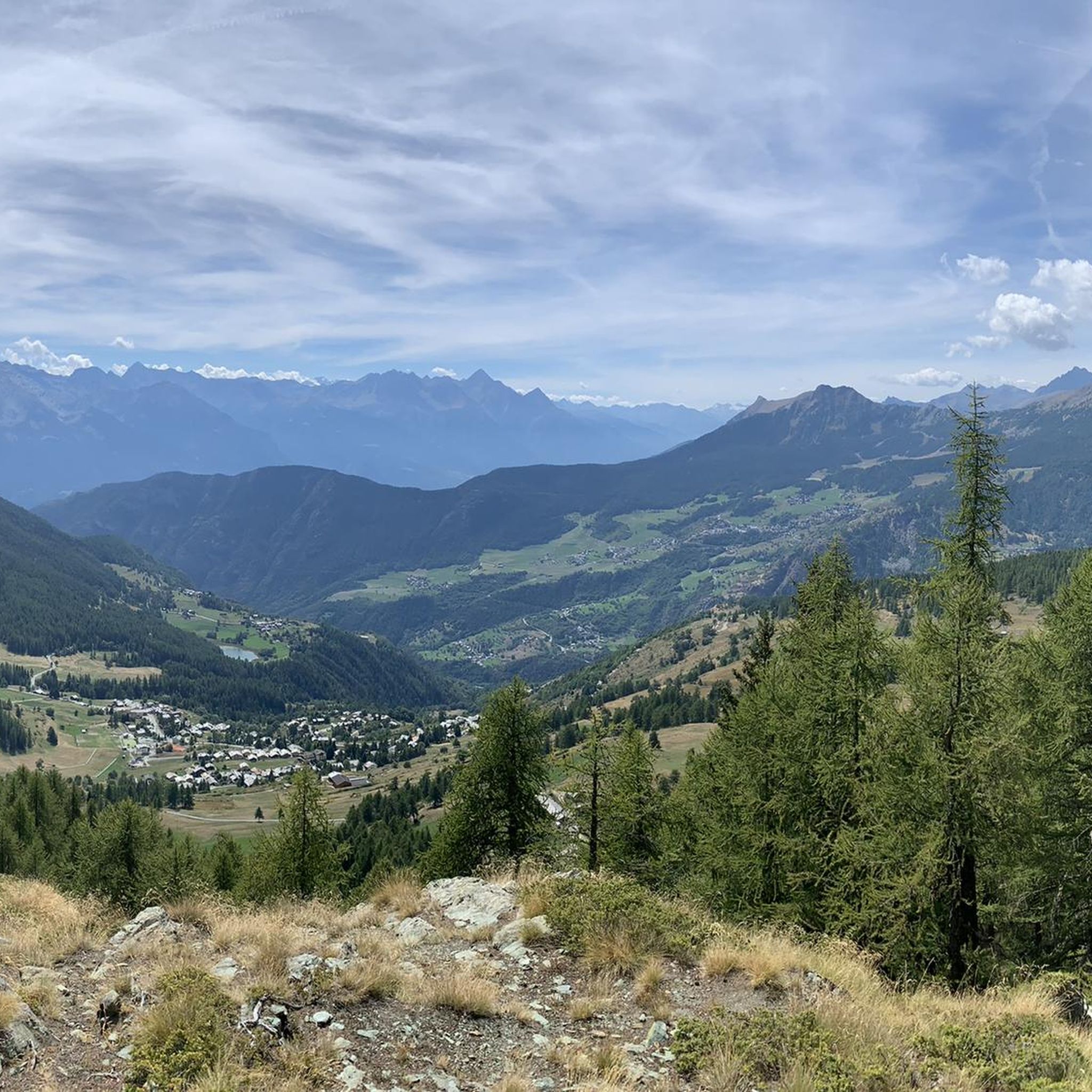
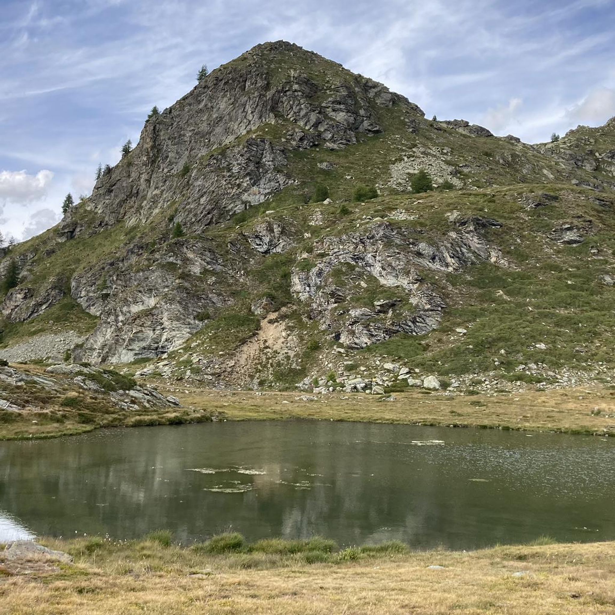
Mountain biking around La Magdeleine in the Aosta Valley, Italy, offers challenging terrain with significant elevation changes and alpine landscapes. The region is characterized by majestic mountain peaks, serene lakes like Champlong and Croux, and dense forests such as Bosco Charey. Riders can expect varied surfaces including unpaved paths, natural trails, gravel, and asphalt, often with substantial elevation gains. Many routes require very good fitness and advanced riding skills.
Best mountain bike trails around La Magdeleine
- The most popular mountain…
Last updated: July 4, 2026
4.8
(29)
159
riders
24.6km
02:55
1,040m
1,040m
Hard mountain bike ride. Very good fitness required. Advanced riding skills necessary. Some portions of the route may require you to push your bike.
4.8
(16)
101
riders
47.3km
05:01
1,840m
1,840m
Hard mountain bike ride. Very good fitness required. Advanced riding skills necessary. Some portions of the route may require you to push your bike.

Sign up for free
4.7
(17)
69
riders
31.1km
03:03
990m
990m
Hard mountain bike ride. Very good fitness required. Advanced riding skills necessary. Some portions of the route may require you to push your bike.
4.4
(5)
39
riders
37.5km
03:34
1,020m
1,020m
Hard mountain bike ride. Very good fitness required. Advanced riding skills necessary. Some portions of the route may require you to push your bike.
4.5
(4)
36
riders
12.2km
01:10
300m
300m
Hard mountain bike ride. Great for any fitness level. Advanced riding skills necessary. Some portions of the route may require you to push your bike.
Get access to more routes and recommendations from other explorers.
Sign up for free
Already have an account?
Our route recommendations are based on thousands of hikes, rides, and runs completed by other people on komoot.
Start today with a free account
Your next adventure awaits.
Login or Signup
Popular around La Magdeleine

Cammino Balteo – castles, vineyards and trails of the Aosta Valley

Paths, castles and views of Italy’s Aosta Valley – Cammino Balteo
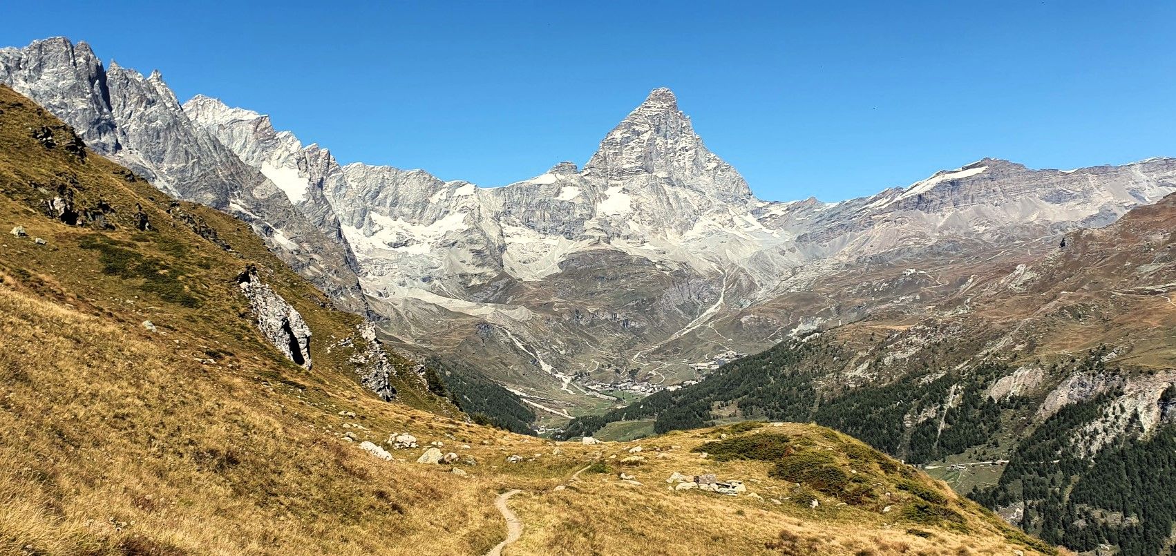
Running with the King – Great Balcony of the Matterhorn
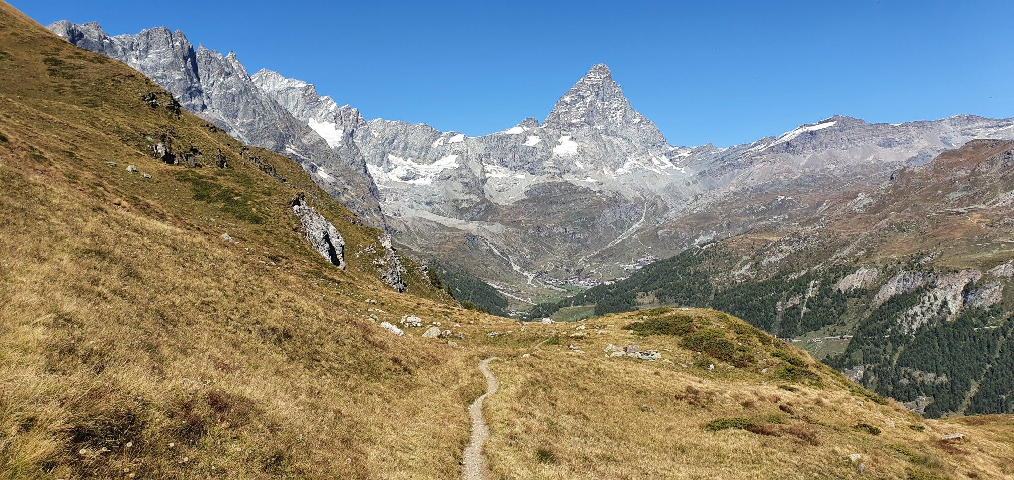
A breath away from the king — Grand Balcony of the Matterhorn
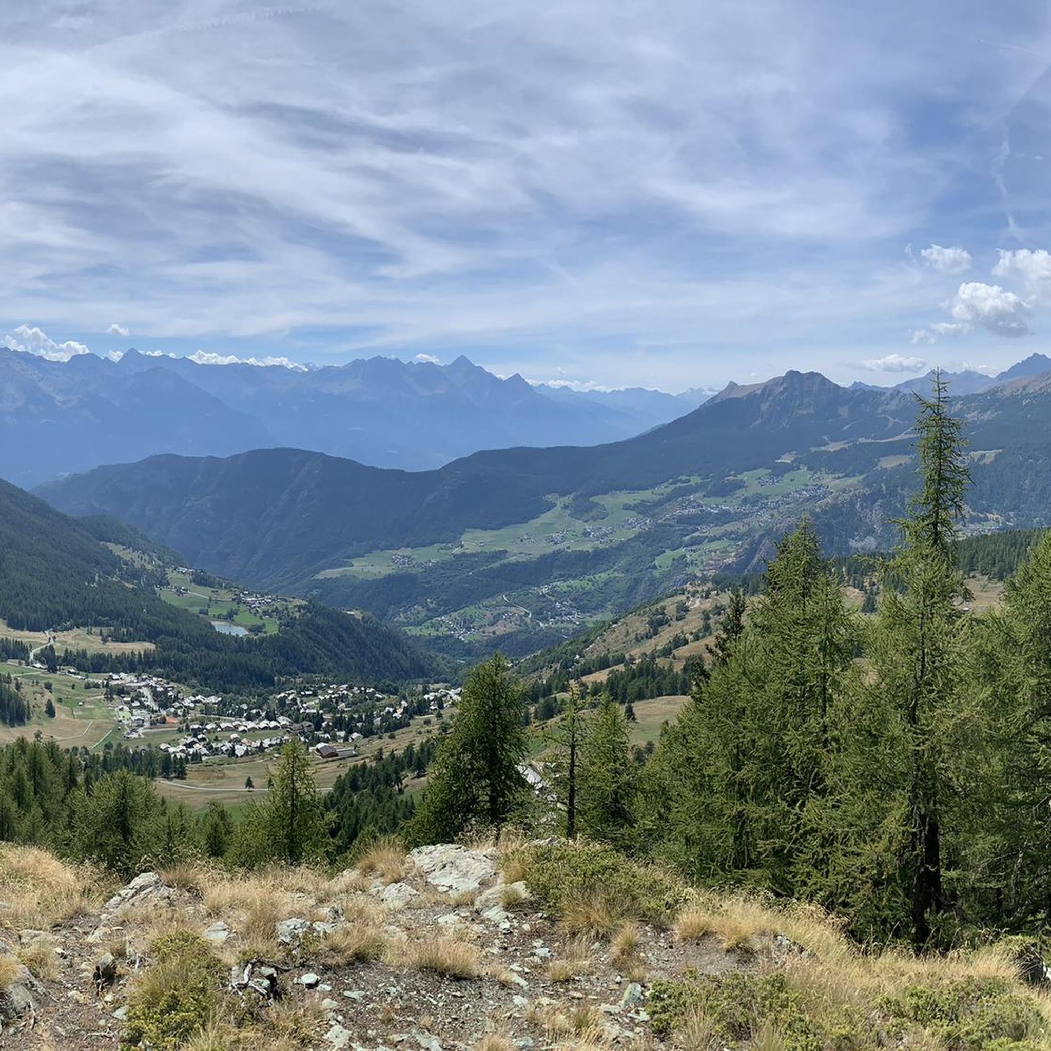
Hiking around La Magdeleine
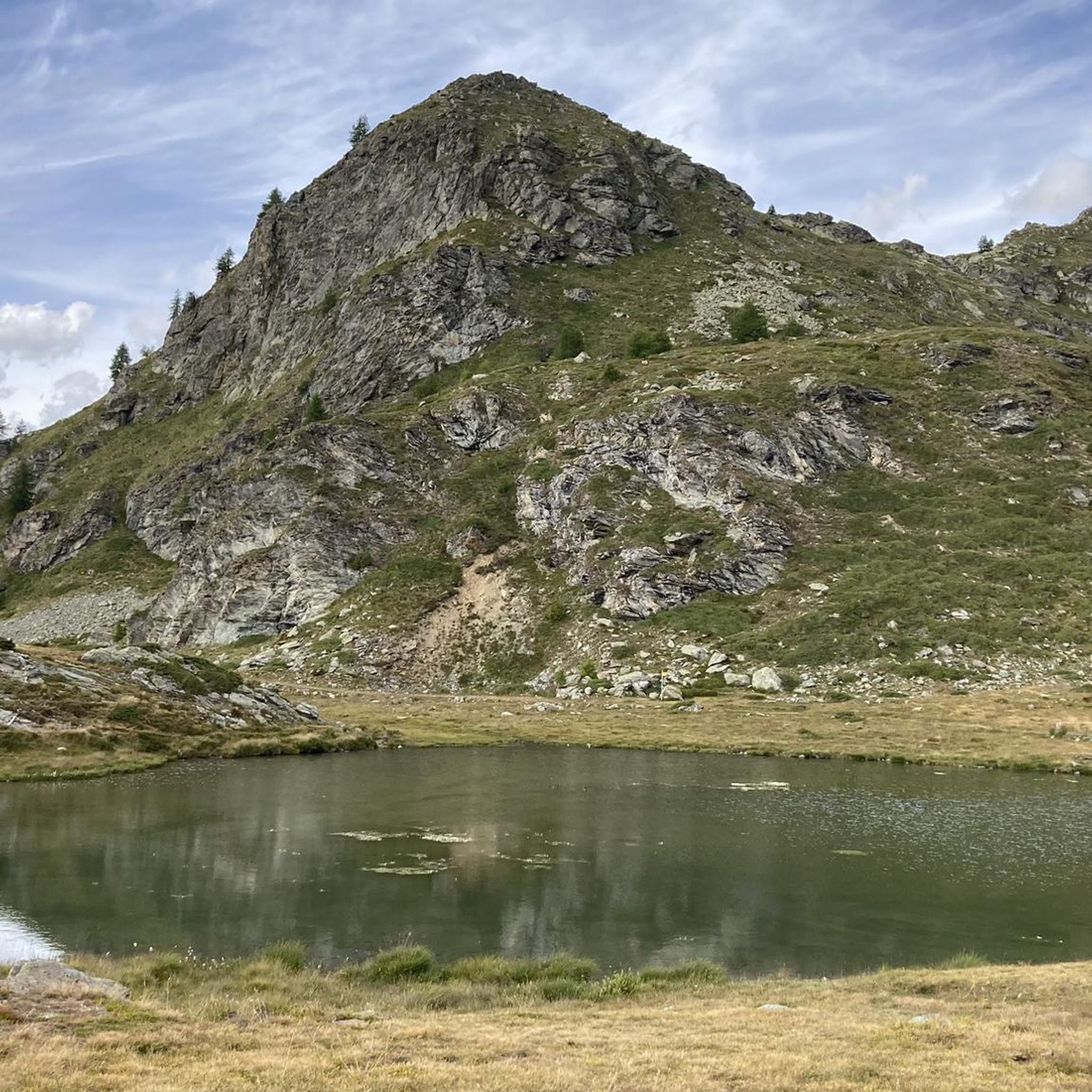
Road Cycling Routes around La Magdeleine

Gravel biking around La Magdeleine
Running Trails around La Magdeleine
Cycling around La Magdeleine
Mountain Hikes around La Magdeleine
Other adventures around La Magdeleine


Tips from the Community

Vista dal Col Champlong
0
0

A beautiful stretch on the watershed between Chamois and Cheneil; wonderful view.
0
0

Quite a challenging route, with a priceless 360-degree view of the Matterhorn.
0
0
Beautiful rest area with giant bench
0
0

sale of honey and typical products
0
0
area with picnic tables and benches
0
0
Buisson Chamois municipal cableway
0
0

Easy and scenic trail. It was a blast to do on an ebike
0
0
Frequently Asked Questions
How many mountain bike trails are available in La Magdeleine?
There are over 140 mountain bike trails around La Magdeleine, offering a wide range of options for different skill levels. The majority, about 114, are classified as difficult, with 26 moderate and 4 easy routes.
Are there easy mountain bike trails suitable for beginners or families in La Magdeleine?
Yes, while many routes are challenging, there are a few easier options. For instance, a 4.5 km trail connects La Magdeleine to Chamois, a car-free village, which is suitable for all skill levels and offers leisure facilities along the way. You can also find 4 easy routes listed on komoot.
What are some challenging mountain bike routes for experienced riders in La Magdeleine?
Experienced riders will find plenty of demanding trails. The View of the Matterhorn – Goillet Lake loop from La Magdeleine is a difficult 63.2 km route with over 2,300 meters of elevation gain, offering iconic Matterhorn views. Another challenging option is the Big Bench of Col d'Artaz – Lake Champlong loop from Antey-Saint-André, spanning 47.3 km with over 1,800 meters of climbing.
Are there any circular mountain bike routes in La Magdeleine?
Yes, many of the mountain bike trails in La Magdeleine are loops. Popular circular routes include the Lake Champlong – Cervino Cycle Route loop from La Magdeleine and the La Magdeleine – Brengon, La Magdeleine loop from Buisson.
What kind of views can I expect on the mountain bike trails in La Magdeleine?
The trails in La Magdeleine offer majestic alpine scenery. You can expect expansive views of mountain peaks, serene lakes like Champlong and Goillet, and dense forests. Many routes provide stunning vistas of the Matterhorn.
What are some notable attractions or points of interest along the trails?
Beyond the natural beauty, you can explore several attractions. The car-free Chamois Village is accessible by cable car or on foot, offering a unique experience. The Piani di Verra Inferiore, a glacial plain with pastures, is also a notable natural monument. For specific highlights, consider visiting Hallenstark Flow Trail or the La Servaz–Pracharbon Trail.
What do other mountain bikers say about the trails in La Magdeleine?
The mountain bike trails in La Magdeleine are highly regarded by the komoot community, with an average rating of 4.6 stars from over 1,000 reviews. Riders often praise the challenging terrain, the stunning alpine landscapes, and the diverse range of routes available.
What is the best time of year for mountain biking in La Magdeleine?
The best season for mountain biking in La Magdeleine, given its alpine location, is typically from late spring through early autumn. During these months, the weather is generally more favorable, and trails are free of snow, allowing for optimal riding conditions.
Are there any bike parks or dedicated mountain biking facilities nearby?
Yes, there are bike parks and dedicated trails in the vicinity. You can find highlights like the Hallenstark Flow Trail and the Alta Via 1 Singletrack from Lago Tzan to Grand Raye, which are part of the bike park offerings around La Magdeleine.
Can I find routes that pass by historical sites or castles?
Yes, the region around La Magdeleine is rich in history. You can find routes that pass near several castles. Notable highlights include Bovaye - Castello Gamba and Castello di Ussel, offering a glimpse into the area's heritage.
What are the typical durations for mountain bike rides in the area?
Ride durations vary significantly based on the trail's difficulty and length. For example, the difficult Lake Champlong – Cervino Cycle Route loop typically takes around 2 hours 54 minutes, while the longer View of the Matterhorn – Goillet Lake loop can take nearly 7 hours.
Are there moderate trails for intermediate riders in La Magdeleine?
Yes, there are 26 moderate mountain bike trails available. An example is the La Magdeleine – Brengon, La Magdeleine loop from Buisson, which covers over 20 km with moderate elevation gain, suitable for riders with good fitness and some experience.
Most popular routes around La Magdeleine
Most popular attractions around La Magdeleine

Get inspired with the komoot mobile app


Explore more
Browse the best MTB trails in other regions.
