The best walks and hikes around Roisan
4.4
(1168)
6,371
hikers
19
hikes
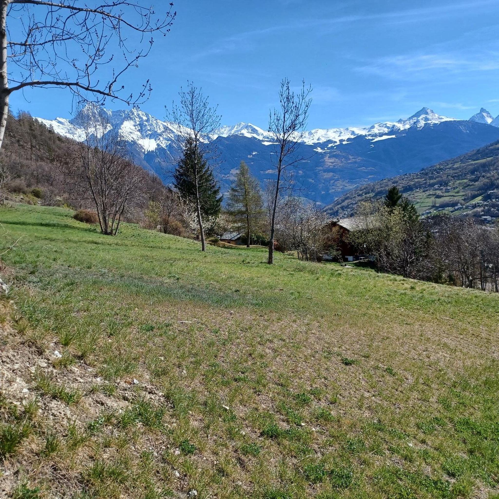
Hiking around Roisan offers access to alpine landscapes in the Aosta Valley, situated at 870 meters altitude. The region features panoramic views of mountains such as Mount Emilius and the Grand Combin, and is traversed by the Buthier River within the lower Valpelline. Ancient irrigation canals, known as "rus," provide relatively flat paths through meadows and villages.
Best hiking trails in Roisan
- The most popular hiking route is Bike rest area with lookout – Roisan loop from Roisan, a…
Last updated: July 9, 2026
4.0
(12)
48
hikers
9.95km
02:54
240m
240m
Hard hike. Good fitness required. Sure-footedness, sturdy shoes and alpine experience required.
4.7
(3)
24
hikers
8.23km
04:40
840m
840m
Moderate hike. Good fitness required. Mostly accessible paths. Sure-footedness required.

Sign up for free
3.9
(8)
36
hikers
8.66km
02:23
150m
140m
Moderate hike. Good fitness required. Easily-accessible paths. Suitable for all skill levels.
5.0
(2)
26
hikers
Hard hike. Good fitness required. Sure-footedness, sturdy shoes and alpine experience required.
5.0
(1)
16
hikers
22.0km
06:18
370m
370m
Hard hike. Very good fitness required. Mostly accessible paths. Sure-footedness required.
Get access to more routes and recommendations from other explorers.
Sign up for free
Already have an account?
Our route recommendations are based on thousands of hikes, rides, and runs completed by other people on komoot.
Start today with a free account
Your next adventure awaits.
Login or Signup
Popular around Roisan

Cammino Balteo – castles, vineyards and trails of the Aosta Valley

Paths, castles and views of Italy’s Aosta Valley – Cammino Balteo
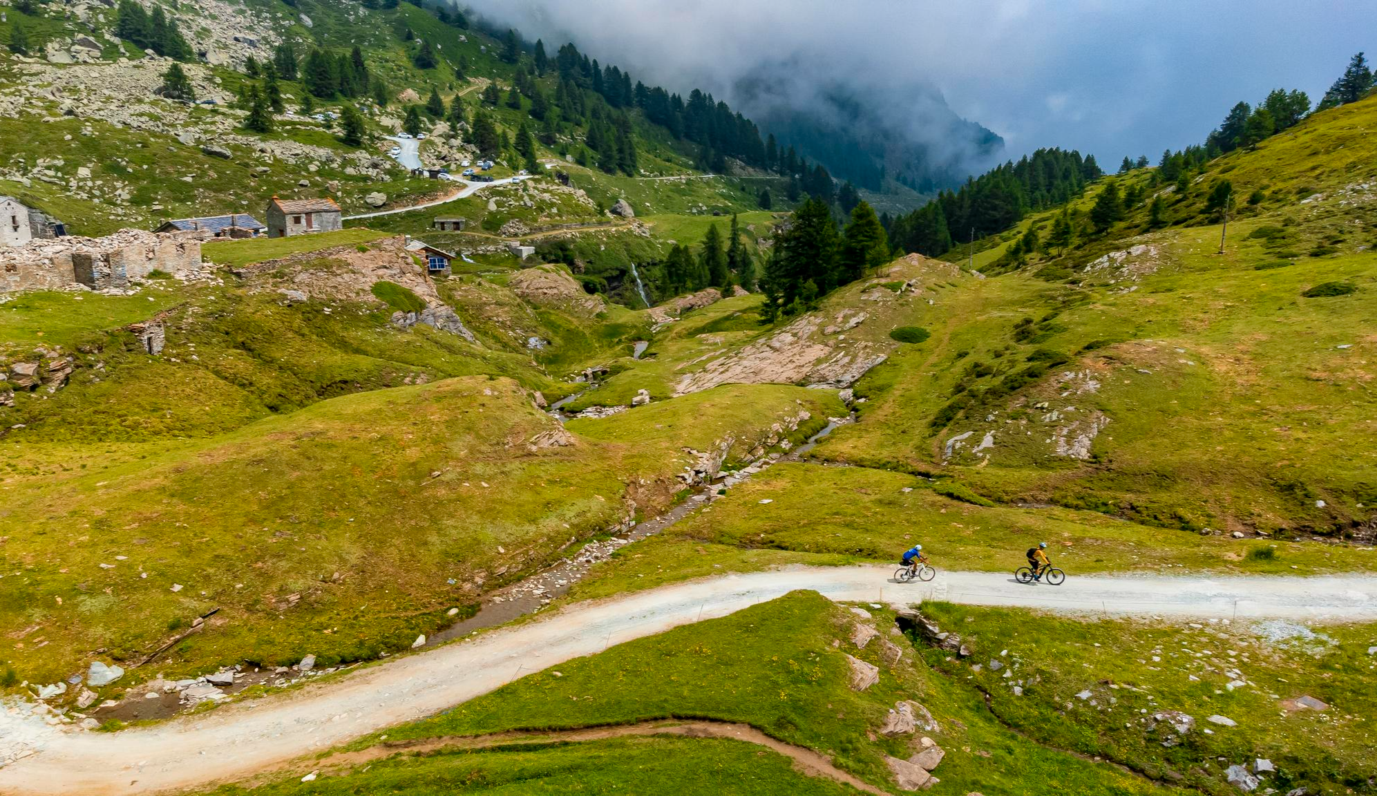
Must-do gravel routes in the Aosta Valley – the heart of the Italian Alps
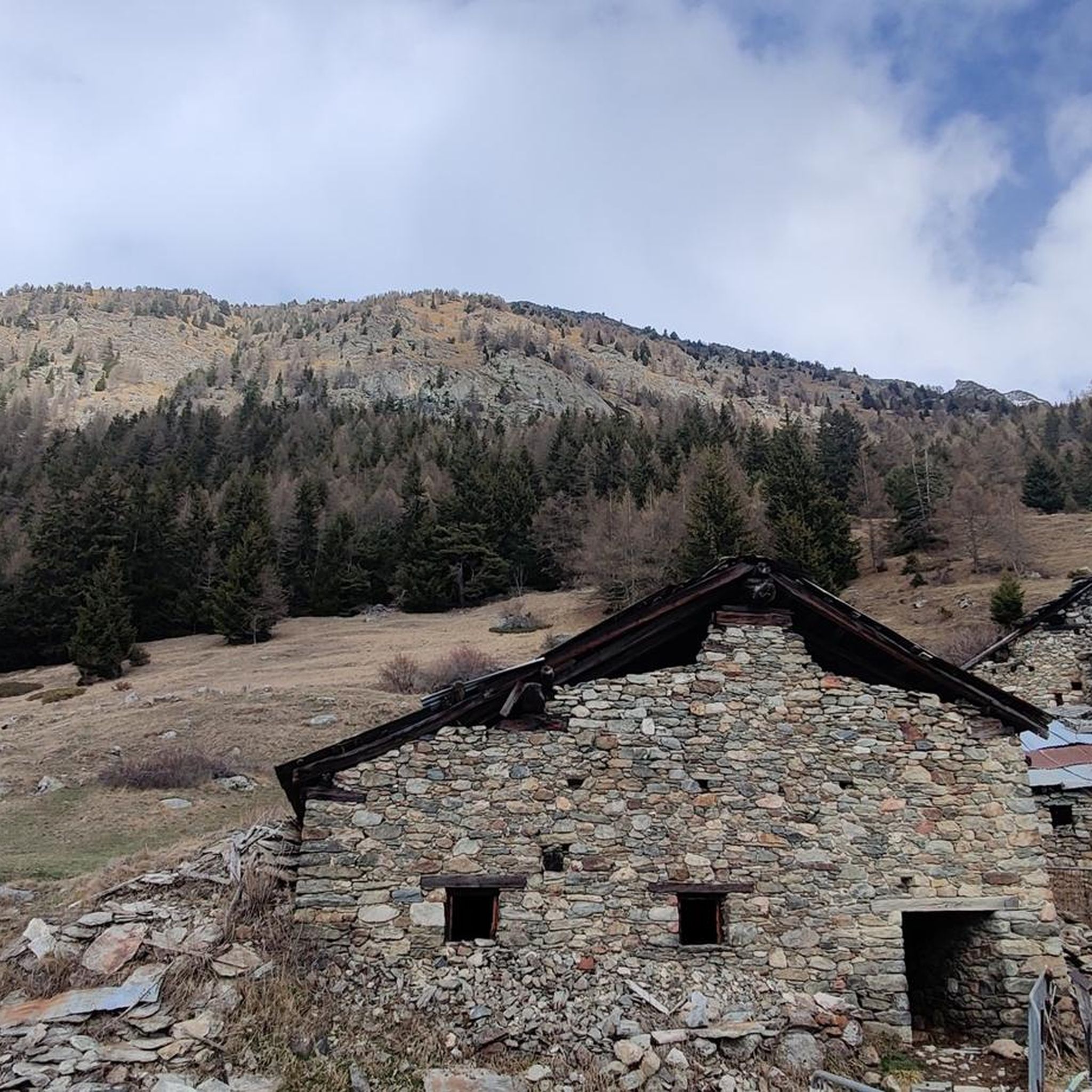
Road Cycling Routes around Roisan
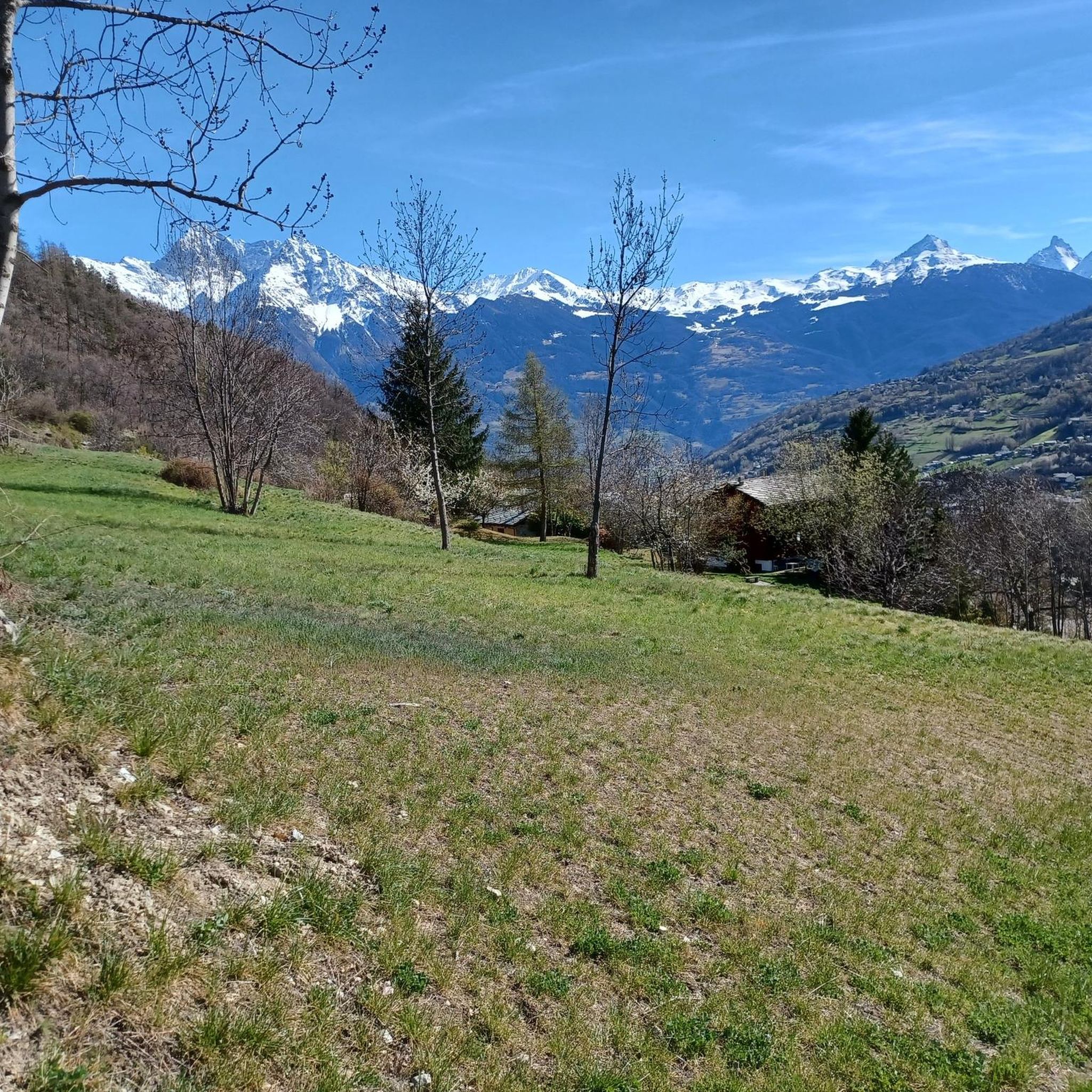
MTB Trails around Roisan
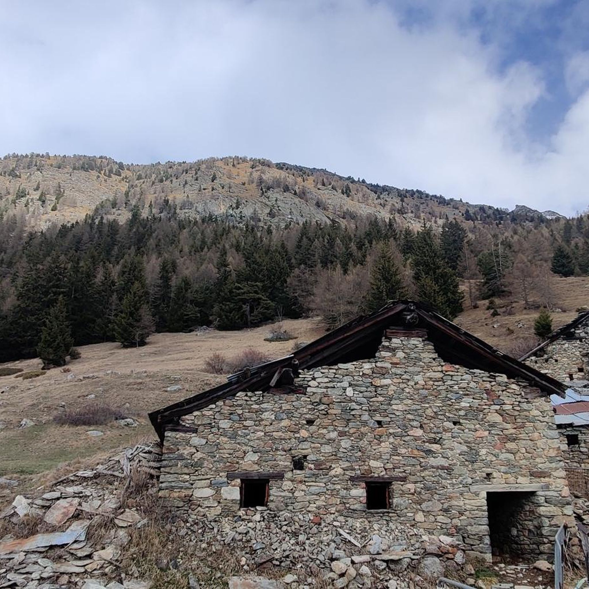
Running Trails around Roisan
Cycling around Roisan

Gravel biking around Roisan

Mountain Hikes around Roisan
Other adventures around Roisan


Tips from the Community

Very beautiful village to spend your hikes in. Drinking water fountain present
0
0

Climbing with bike up to Blavy is such a nice experience on its own: stunning views on the Alps!
0
0

At this point, there's a covered rest area ideal for those pedaling these trails, complete with an e-bike charging station and a tire pump. From the rest area, you can enjoy a spectacular view of the valley floor, perfect for a relaxing break during your hike or bike ride.
1
0

very nice tour to do, shame that at a certain point the dirt road is closed
0
0

Beautiful green area equipped with many games for children, with a refreshment point and toilets. Excellent for a relaxing stop, especially in the summer.
0
0
In this section, the walk along the Ru Pompillard takes place close to the trench along which the Ru flows, always in safe conditions and without any difficulty.
0
0
In this section, the walkway along the Ru Pompillard becomes very narrow, in practice you find yourself walking inside the trench where the Ru pipeline passes. However, although some passages are exposed, you can always walk safely thanks to the fences that have been placed for protection.
0
0

Frequently Asked Questions
How many hiking trails are available around Roisan?
There are 18 hiking trails around Roisan, offering a variety of experiences from easy walks to more challenging ascents through alpine landscapes.
What do other hikers enjoy most about the trails in Roisan?
The trails in Roisan are highly rated by the komoot community, with an average score of 4.4 stars from over 1100 reviews. Hikers frequently praise the stunning panoramic views of mountains like Mount Emilius and the Grand Combin, as well as the unique ancient irrigation canals, known as 'rus', which offer pleasant walking paths.
Are there any easy or family-friendly hiking options in Roisan?
Yes, Roisan offers trails suitable for various abilities. The ancient 'rus' irrigation canals provide relatively flat and accessible paths, perfect for pleasant walks or mountain bike rides with a slight incline. These are often suitable for families looking for less strenuous options.
Can I find circular hiking routes in Roisan?
Absolutely. Many trails around Roisan are designed as loops, allowing you to start and end in the same location. For example, the Bike rest area with lookout – Ru Pompillard Tunnel loop from Roisan is a moderate 5.4-mile (8.7 km) route that takes you through the area of the Ru Pompillard.
Are there any challenging hikes for experienced trekkers?
Yes, Roisan is known for its more demanding routes. For instance, the Bike rest area with lookout – Roisan loop from Roisan is classified as difficult, covering 6.2 miles (10.0 km) with significant elevation changes. The region also offers adventurous climbs to peaks like Becca di Viou, known for its breathtaking panoramic views.
What kind of natural features can I expect to see on the trails?
Roisan's trails showcase spectacular alpine scenery, including panoramic views of Mount Emilius and the Grand Combin. You'll also encounter the Buthier River in the lower Valpelline and the unique ancient 'rus' irrigation canals. For a specific natural highlight, consider visiting the Comboé Stream Waterfall.
Are there any historical or cultural points of interest along the hiking routes?
Yes, the region is rich in history. The excursion to Alpe Riond, for example, features an ancient oratory along its path. The ancient 'rus' irrigation canals themselves are historical features. Additionally, you can explore nearby castles such as Aymavilles Castle or Quart Castle, which are accessible from Roisan.
What is the best time of year to go hiking in Roisan?
Given Roisan's alpine landscapes and sunny disposition, the best time for hiking is typically from late spring through early autumn (May to October). During these months, the weather is generally favorable, and the trails are clear of snow, allowing for optimal enjoyment of the mountain views.
Are there any trails that offer extensive views of the Aosta Valley?
Yes, many routes provide stunning vistas of the Aosta Valley. The View of the Aosta Valley loop from Roisan is a moderate 5.0-mile (8.1 km) path specifically designed to offer extensive views across the valley. You can also find a great vantage point at the View of the Aosta Valley from the Côte de Gargantua Nature Reserve.
Can I find a mountain refuge or a place to rest during longer hikes?
While Roisan itself is a starting point, the wider Aosta Valley offers options. The Mont Fallère Refuge, though a bit further afield at 2,385 meters, is a notable highlight for hikers, providing amenities and stunning views of Mont Blanc, Grandes Jorasses, the Matterhorn, and Punta Rosa.
Are there any trails that follow the ancient 'rus' irrigation canals?
Yes, the ancient 'rus' irrigation canals are a defining feature of Roisan's landscape and offer unique hiking experiences. The Ru Pompillard Trail – View of the Grand Arvou loop from Roisan is an example of a longer route that incorporates these historical paths, covering 13.5 miles (21.7 km).
Most popular routes around Roisan
Most popular attractions around Roisan

Get inspired with the komoot mobile app


Explore more
Browse the best Hikes in other regions.
