The best mountain hikes around Gressoney-La-Trinité
4.7
(88)
1,760
hikers
12
hikes
Mountaineering around Gressoney-La-Trinité is centered within the Monte Rosa massif, the second-highest mountain range in the Alps. This region in Italy's Aosta Valley features numerous peaks exceeding 4,000 meters, extensive glaciers like the Lys Glacier, and a network of high-altitude mountain huts. The landscape includes rugged alpine terrain, alpine lakes, and lower elevations with secular woods and green valleys.
Best mountaineering routes around Gressoney-La-Trinité
- The most popular mountaineering route is Vincent Pyramid – Rifugio Città di Mantova loop from Piramide…
Last updated: October 8, 2026
4.6
(17)
354
hikers
8.06km
06:10
830m
830m
Hard mountaineering route. Very good fitness required. Sure-footedness, sturdy shoes and alpine experience required.
4.4
(7)
147
hikers
Hard mountaineering route. Good fitness required. Sure-footedness, sturdy shoes and alpine experience required.

35
hikers
13.4km
07:02
1,070m
1,070m
Hard mountaineering route. Very good fitness required. Sure-footedness, sturdy shoes and alpine experience required.
4
hikers
3.08km
01:50
230m
220m
Hard mountaineering route. Great for any fitness level. Sure-footedness, sturdy shoes and alpine experience required.
5.0
(1)
13
hikers
11.9km
05:34
830m
830m
Hard mountaineering route. Very good fitness required. Sure-footedness, sturdy shoes and alpine experience required.
Get access to more routes and recommendations from other explorers.
Already have an account?
Our route recommendations are based on thousands of hikes, rides, and runs completed by other people on komoot.
Start today with a free account
Your next adventure awaits.
Popular around Gressoney-La-Trinité
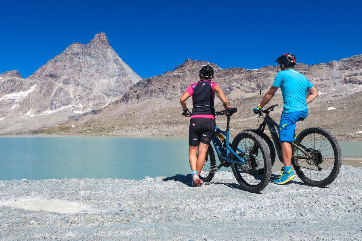
The Aosta Valley by MTB – between valleys and majestic peaks
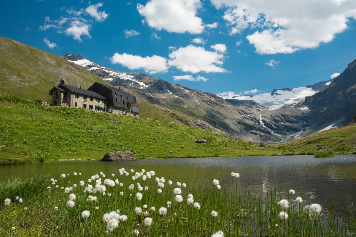
Hiking to the Aosta Valley’s mountain huts: 10 beautiful trails
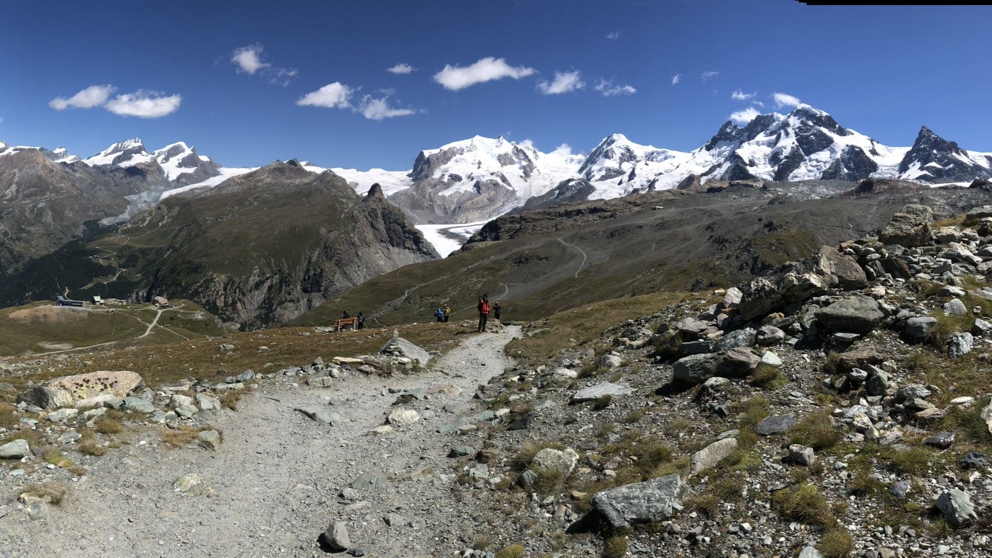
Between Italy and Switzerland – Tour of Monte Rosa
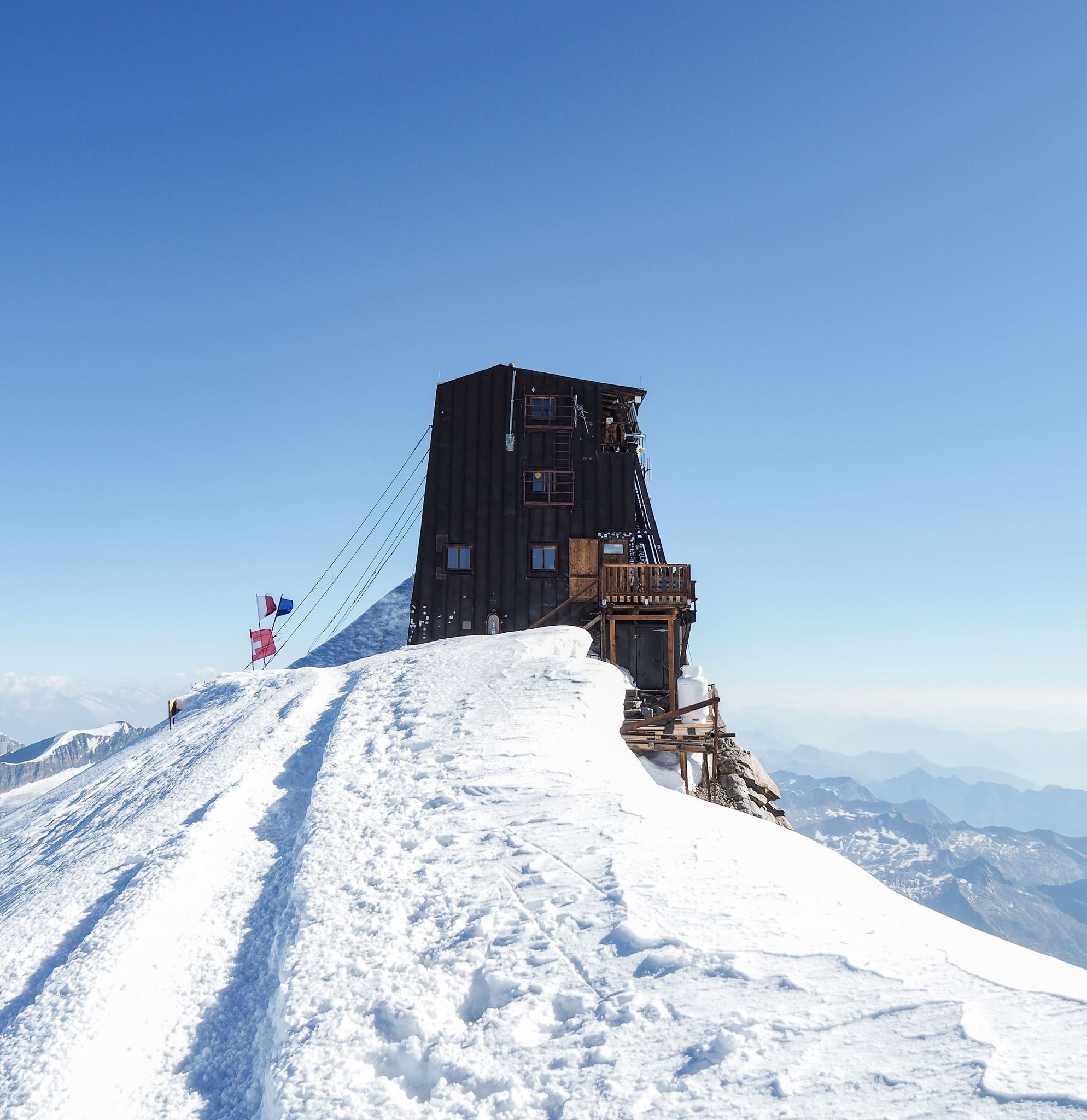
Capanna Margherita – 4,554 metres of thin air
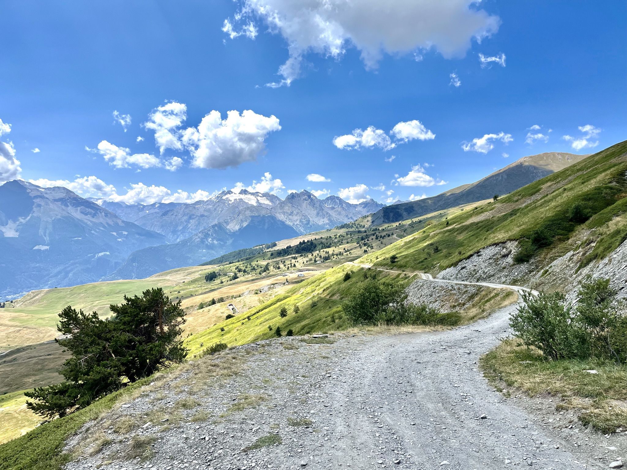
Mountain biking with a glacier backdrop – rides in Italy’s Aosta Valley
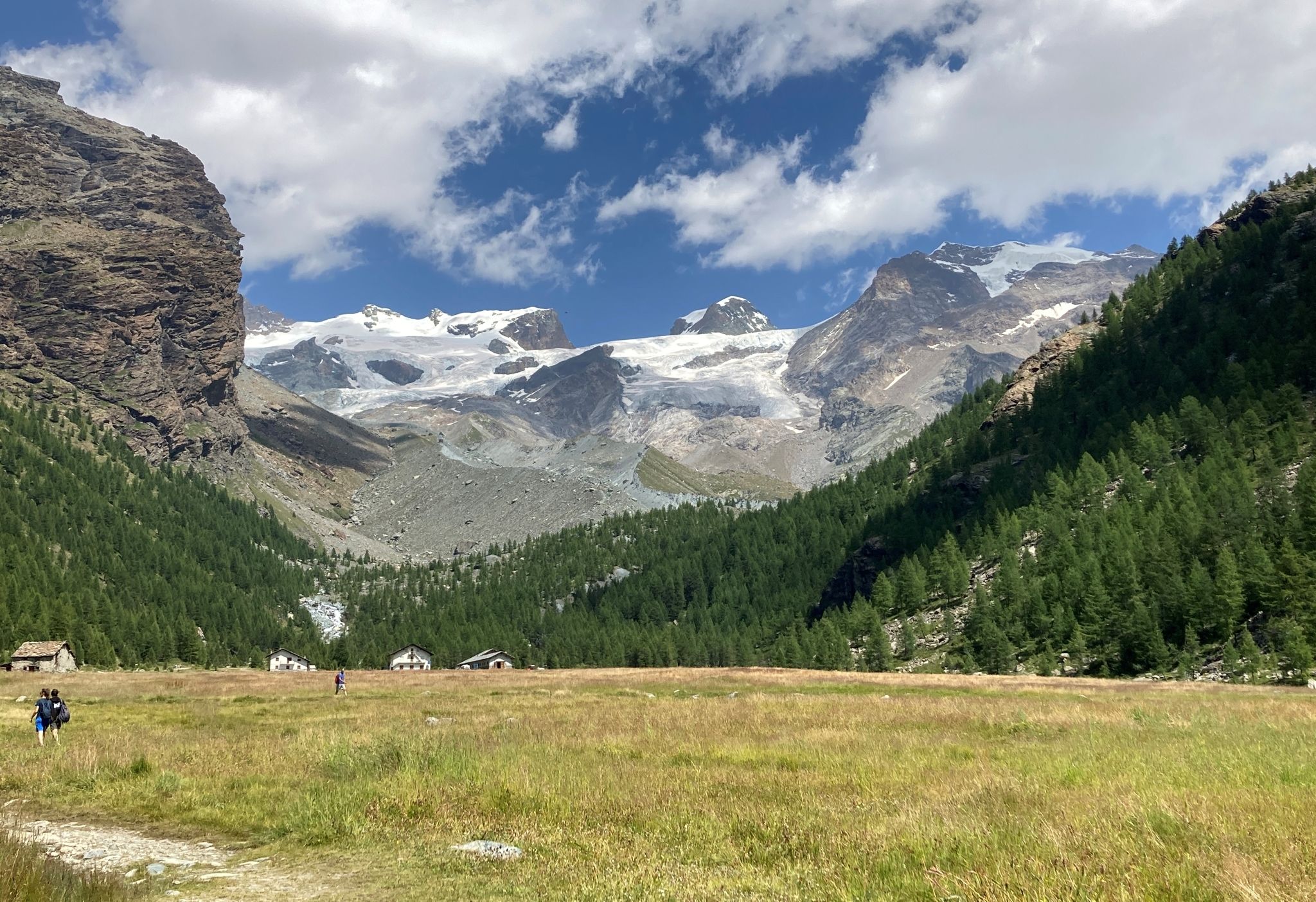
Tour of Monte Rosa – a trek among the Giants between Italy and Switzerland
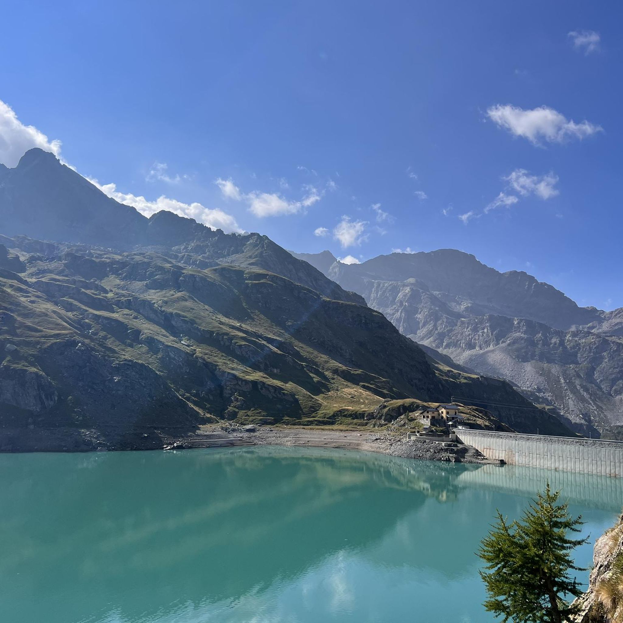
Hiking around Gressoney-La-Trinité
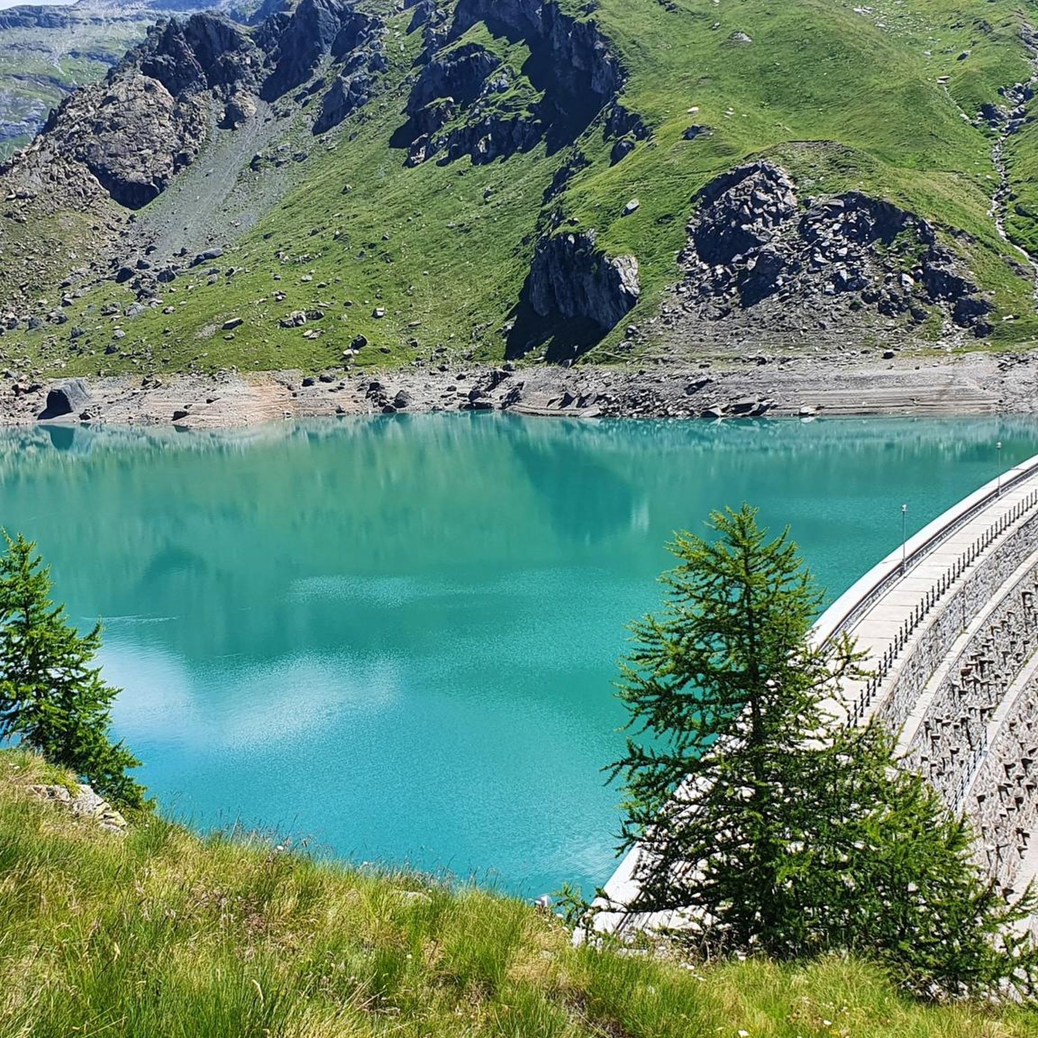
Road Cycling Routes around Gressoney-La-Trinité
MTB Trails around Gressoney-La-Trinité
Running Trails around Gressoney-La-Trinité
Other adventures around Gressoney-La-Trinité


Tips from the Community

Incredible panorama and very beautiful tour
0
0

The ascent over the Lys Glacier is comparatively gentle and easy to walk. As the altitude increases, the view opens up: to the right of the Lyskamm, the Matterhorn appears, and to its right, the Zermatt range with Dent Blanche, Obergabelhorn, Zinalrothorn, and Weisshorn. At the Lysjoch, you reach a central point in the Monte Rosa area. From here, several 4000-meter peaks are close together and can be easily combined – depending on your condition and the circumstances. Directly visible are the Zumsteinspitze and the Signalkuppe with the highest mountain hut in the Alps, as well as the Parrotspitze, Ludwigshöhe, Schwarzhorn, Balmenhorn, and Vincent Pyramid. For a circuit over several of the easier 4000-meter peaks, the Lys Glacier is an ideal approach: the ascent remains moderate, the orientation is clear, and from the Lysjoch, the summits can be connected logically and efficiently.
0
0
One of the "easiest" 4000m peaks, from whose summit plateau the view extends far into the Bernina Range and to Mont Blanc. On the other side, you can see the nearby peaks Schwarzhorn, Parrotspitze, Signalkuppe with the highest mountain hut in the Alps (Campagna Margherita) and Zumsteinspitze.
0
0
One of the "easiest" 4000m peaks, from whose summit plateau the view extends far to Mont Blanc. The shortest route is directly from the Mantova or Gnifetti hut, but then the ascent is steeper than if you take the relatively gentle ascent to the Lysjoch and from there head towards the Vincent Pyramid or climb one of the other peaks (Ludwigshöhe and/or Balmenhorn) beforehand and the Vincent Pyramid forms the final summit before the descent.
0
0

wonderfully beautiful landscape here
2
0
beautiful here, simply fantastic
0
0

The Vincent pyramid is an excellent peak to approach the peaks of the Rosa group, despite being an easy hike, especially done in a day, it offers a spectacular panorama and interesting linking possibilities.
0
0
Frequently Asked Questions
How many mountaineering routes are available in Gressoney-La-Trinité?
Gressoney-La-Trinité offers a selection of 13 challenging mountaineering routes, all rated as difficult, providing extensive opportunities to explore the high-alpine terrain of the Monte Rosa massif.
What kind of terrain can I expect on mountaineering routes in Gressoney-La-Trinité?
Mountaineering routes in Gressoney-La-Trinité primarily feature rugged alpine terrain, extensive glaciers like the Lys Glacier, and numerous peaks exceeding 4,000 meters. You'll encounter snow and rock sections, characteristic of the Monte Rosa massif.
Are there any circular mountaineering routes in the area?
Yes, several routes are designed as loops. For instance, consider the Vincent Pyramid – Rifugio Città di Mantova loop from Piramide Vincent, which covers 8.1 km, or the Colle del Felik – Castor (4,223 m) loop from Rifugio Quintino Sella al Felik, a 6.3 km path offering high-alpine scenery.
What are some notable natural features or landmarks to see along the routes?
The region is rich in natural beauty. You can find impressive glaciers, alpine lakes like Lake Gover, and various waterfalls. Notable waterfalls include the Acqua Bianca Waterfall and Mascognaz Waterfall. The area also features dramatic gorges such as the Vallone di Verra.
Can I find multi-day mountaineering treks in Gressoney-La-Trinité?
Yes, Gressoney-La-Trinité serves as a gateway to multi-day expeditions within the Monte Rosa group. The presence of high-altitude refuges like Capanna Margherita, Rifugio Gnifetti, and Rifugio Città di Mantova provides essential shelter and starting points for longer ascents and traverses.
What is the best time of year for mountaineering in Gressoney-La-Trinité?
The best time for mountaineering typically spans from late spring to early autumn when conditions are most stable for high-alpine ascents. However, the region also offers opportunities for ski mountaineering in winter, with routes leading to high-altitude refuges and peaks.
What do other mountaineers say about the routes in Gressoney-La-Trinité?
The mountaineering routes in Gressoney-La-Trinité are highly rated by the komoot community, with an average score of 4.7 stars from over 70 reviews. Mountaineers frequently praise the breathtaking landscapes, the challenge of the high-alpine terrain, and the well-maintained network of trails.
Are there any routes that offer a significant elevation gain?
Many routes in Gressoney-La-Trinité involve substantial elevation gain. For example, the Rifugio Città di Mantova loop from Alpenhutten Lys features an ascent of over 1,000 meters, providing a demanding challenge for experienced mountaineers.
Are there any shorter mountaineering routes for those with less time?
While all routes are rated difficult, some are shorter in distance. The Punta Indren Station – Rifugio Città di Mantova loop from Piramide Vincent is approximately 3.1 km, making it a more concise option for experiencing the high-alpine environment.
What cultural aspects can be explored in the Gressoney-La-Trinité area?
Beyond mountaineering, the region preserves a rich Walser heritage. You can observe traditional architecture, such as the typical 'stadel,' and learn about the community's history and customs at the Walser Ecomuseum in Piazza Tache.
Are there any routes that connect to other valleys or ski areas?
Yes, important passes like Bettaforca Pass and Passo dei Salati, often accessible by ski lifts, offer panoramic views and connect Gressoney-La-Trinité to other valleys within the vast Monterosa Ski area, providing broader exploration opportunities.
Most popular attractions around Gressoney-La-Trinité

Get inspired with the komoot mobile app


Explore more
Browse the best Mountain Hikes & Routes in other regions.
