The best walks and hikes around Staven
4.4
(186)
864
hikers
72
hikes
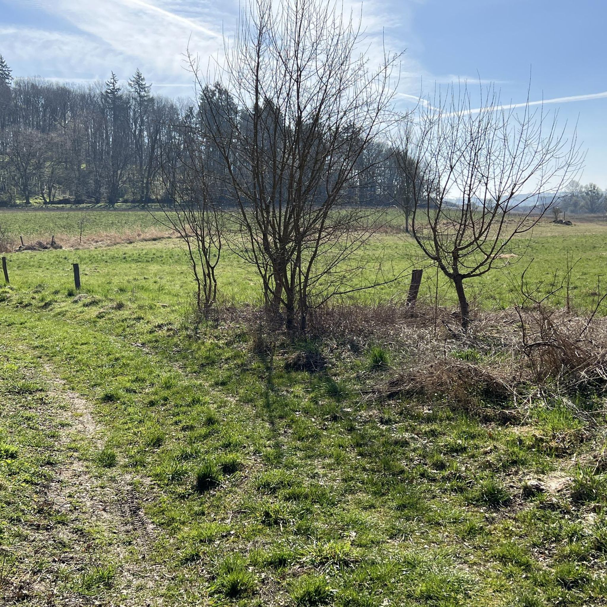
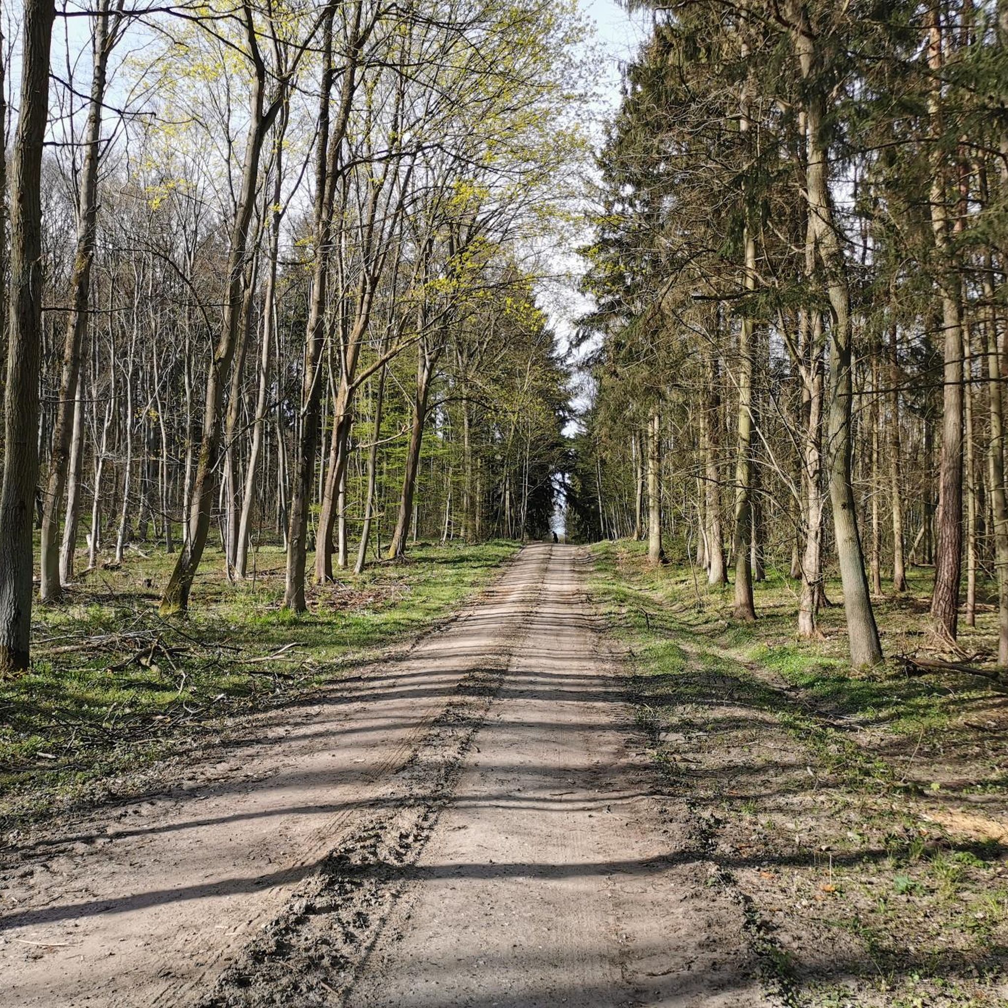
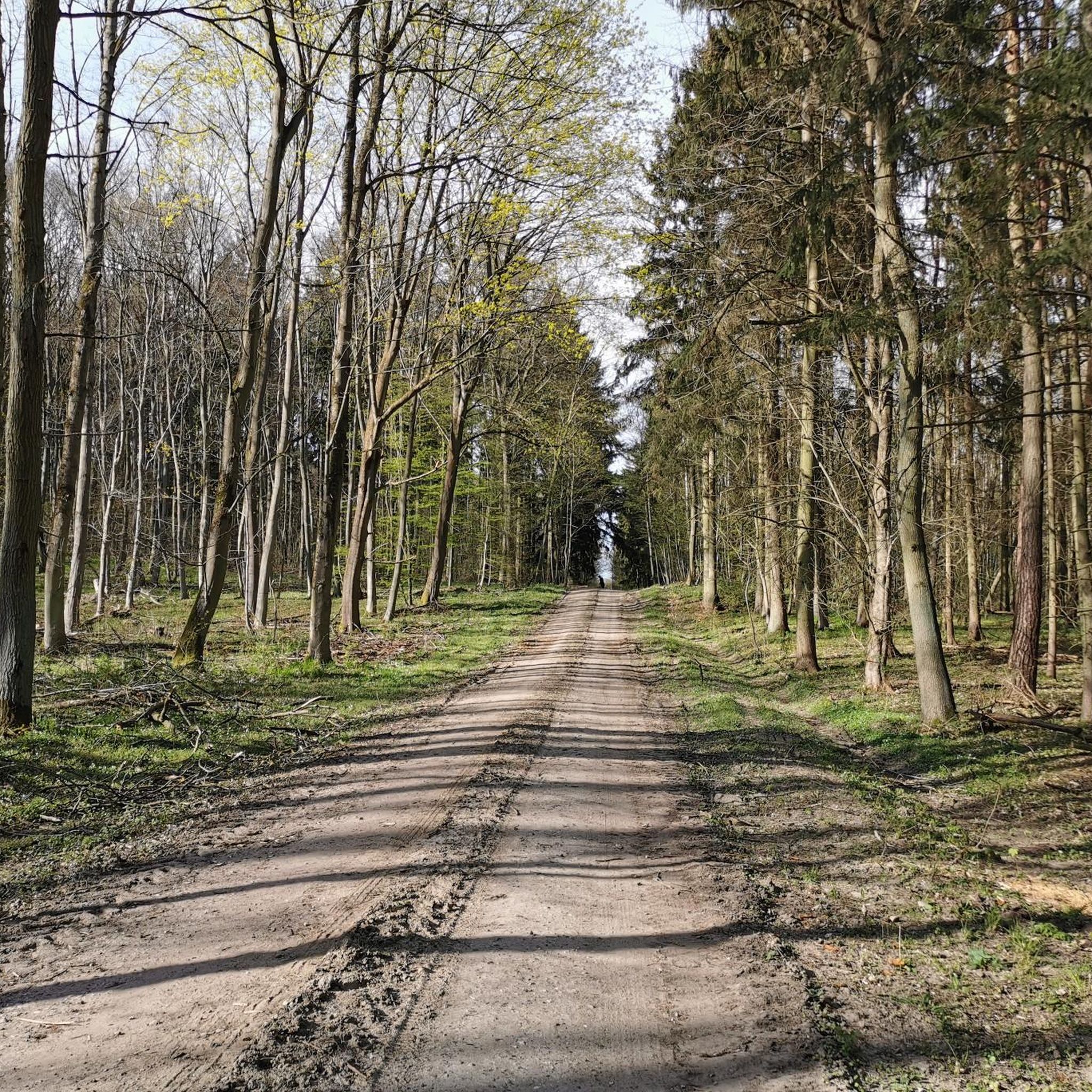
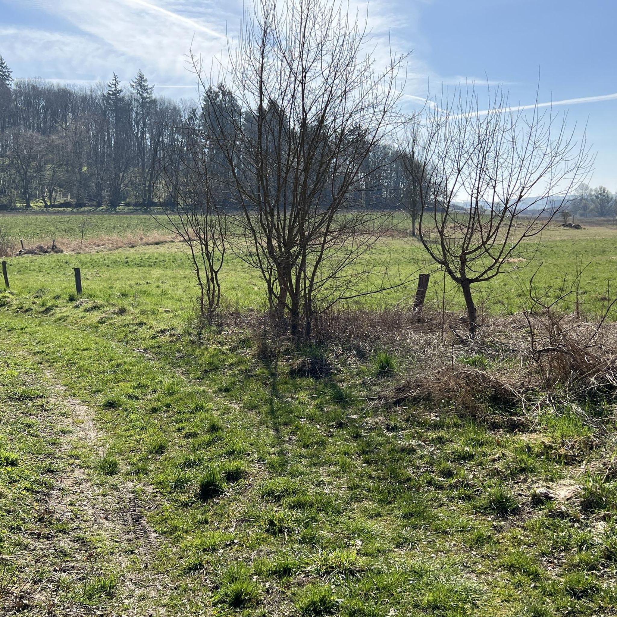
Hiking around Staven offers a variety of trails through gentle landscapes. The region is characterized by its low elevation gains, featuring routes that often follow streams and encircle lakes. Hikers can expect to find paths through open countryside and along water bodies, providing accessible outdoor experiences. The terrain is generally flat to gently undulating, suitable for a range of abilities.
Best hiking trails around Staven
- The most popular hiking route is Datze Stream – The Datze Stream in Burgholz loop…
Last updated: August 17, 2026
4.5
(8)
31
hikers
10.6km
02:46
70m
70m
Moderate hike. Good fitness required. Easily-accessible paths. Suitable for all skill levels.
3.4
(10)
28
hikers
4.20km
01:06
30m
30m
Easy hike. Great for any fitness level. Easily-accessible paths. Suitable for all skill levels.

Sign up for free
4.8
(4)
20
hikers
6.80km
01:46
40m
40m
Easy hike. Great for any fitness level. Easily-accessible paths. Suitable for all skill levels.
4.7
(6)
25
hikers
9.57km
02:29
60m
60m
Moderate hike. Good fitness required. Easily-accessible paths. Suitable for all skill levels.
4.0
(3)
20
hikers
3.72km
00:58
20m
20m
Easy hike. Great for any fitness level. Easily-accessible paths. Suitable for all skill levels.
Get access to more routes and recommendations from other explorers.
Sign up for free
Already have an account?
Our route recommendations are based on thousands of hikes, rides, and runs completed by other people on komoot.
Start today with a free account
Your next adventure awaits.
Login or Signup
Tips from the Community

In the NVA era, the pilots' kitchen was located below. With 9 G, everything easily digestible is supposed to stay in the stomach during aerobatic maneuvers.
0
0
After all. Suitable as a rain shelter.
0
0
The deep sea is warming rapidly.
0
0
The village community maintains this area exemplarily.
0
0
As of 2026: A new cycle path leads through the village. Nicely quiet, because there has been construction on the village street for 4 years.
0
0

The Krumme See is one of three deep lakes between Trollenhagen and Ihlenfeld. It is said to be up to 30 meters deep. The middle lake is now just a marshland. In dry weather, it is possible to hike around the three lakes.
1
0
The three-part Slavic hillfort offers several tables and seating areas in its center for visitors to linger.
1
0
Frequently Asked Questions
What kind of hiking terrain can I expect around Staven?
Hiking around Staven is characterized by gentle landscapes with low elevation gains. You'll find paths through open countryside, often following streams and encircling lakes. The terrain is generally flat to gently undulating, making it suitable for a wide range of abilities.
How many hiking trails are available in the Staven area?
There are over 70 hiking trails around Staven, offering a variety of options for exploring the region's gentle landscapes. These include 35 easy routes and 39 moderate routes, ensuring there's something for every hiker.
Are there any circular hiking routes in Staven?
Yes, many of the trails around Staven are circular, allowing you to start and end at the same point. For example, the Datze Stream – The Datze Stream in Burgholz loop from Ihlenfeld is a popular moderate circular route, and the Röttsee Ihlenfeld – Deep Lake loop from Ihlenfeld offers an easy circular walk around a lake.
What do other hikers say about the trails in Staven?
The hiking routes in Staven are highly rated by the komoot community, with an average score of 4.4 stars from over 170 reviews. Hikers often praise the quiet, accessible paths and the scenic views of streams and lakes.
Are the hiking trails around Staven suitable for families with children?
Absolutely. Given the gentle landscapes and low elevation gains, many trails in Staven are ideal for families. Routes like the Röttsee Ihlenfeld – Deep Lake loop from Ihlenfeld are classified as easy and offer relaxed walks suitable for all ages.
Can I bring my dog on the hiking trails in Staven?
Yes, the generally flat and open terrain around Staven makes it a great place for hiking with dogs. Most trails are suitable for well-behaved dogs on a leash, allowing them to enjoy the open countryside and lakeside paths with you.
What natural features or landmarks can I expect to see while hiking in Staven?
The region is defined by its streams, lakes, and open countryside. You'll encounter beautiful water bodies like the Deep Lake and the Großer Siedenbollentiner See, as well as historical sites such as the Fangelturm in Neubrandenburg and the St. Petri Church Altentreptow.
Are there any easy hiking routes for beginners in Staven?
Yes, Staven offers several easy routes perfect for beginners or those looking for a relaxed walk. The Neverin Water Tower – Scenic Riverside Path loop from Neverin is a good example, providing a gentle experience along the riverside.
What is the best time of year to go hiking in Staven?
The gentle landscapes of Staven are enjoyable throughout much of the year. Spring and autumn offer pleasant temperatures and beautiful scenery, while summer is ideal for enjoying the lakes and open fields. Even in winter, many of the flatter paths can be accessible for a refreshing walk, weather permitting.
Are there any trails that offer views of the Deep Lake?
Yes, the Glocksin Church – View of Tiefsee loop from Ihlenfeld is a moderate route that provides scenic views of the Deep Lake. Another option is the easy Röttsee Ihlenfeld – Deep Lake loop from Ihlenfeld, which also offers views of the lake.
How long do hikes in Staven typically take?
Hikes in Staven vary in length and duration. Easy routes, like the Neverin Water Tower – Glocksin Church loop from Neverin (4.2 miles/6.8 km), can be completed in under two hours. Longer, moderate trails, such as the Datze Stream – The Datze Stream in Burgholz loop from Ihlenfeld (6.6 miles/10.6 km), typically take around 2 hours 45 minutes.
Most popular attractions around Staven

Get inspired with the komoot mobile app


Explore more
Browse the best Hikes in other regions.
