The best cycling routes around Pontboset
4.4
(98)
2,016
riders
81
rides
Touring cycling around Pontboset is characterized by its diverse landscapes within the Champorcher Valley, featuring deep gorges carved by the Ayasse stream, coniferous forests, and alpine valleys. The region includes numerous historic stone bridges and offers routes that traverse high-altitude terrain. Cyclists can expect a mix of asphalt, dirt roads, and trails, with elevations ranging from valley floors to mountain passes.
Best touring cycling routes around Pontboset
- The most popular touring cycling route is Dora Baltea Cycle Path: Verrès -…
Last updated: August 14, 2026
3.0
(3)
117
riders
67.2km
04:59
1,540m
1,540m
Hard bike ride. Very good fitness required. Mostly paved surfaces. Suitable for all skill levels.
4.3
(3)
42
riders
72.0km
04:45
960m
960m
Hard bike ride. Very good fitness required. Mostly paved surfaces. Suitable for all skill levels.

Sign up for free
35
riders
69.8km
05:27
1,800m
1,790m
Hard bike ride. Very good fitness required. Mostly paved surfaces. Suitable for all skill levels.
5.0
(1)
27
riders
55.4km
04:58
1,980m
1,980m
Hard bike ride. Very good fitness required. Mostly paved surfaces. Suitable for all skill levels.
4.2
(5)
34
riders
27.6km
01:48
340m
340m
Moderate bike ride. Good fitness required. Mostly paved surfaces. Suitable for all skill levels.
Get access to more routes and recommendations from other explorers.
Sign up for free
Already have an account?
Our route recommendations are based on thousands of hikes, rides, and runs completed by other people on komoot.
Start today with a free account
Your next adventure awaits.
Login or Signup
Popular around Pontboset
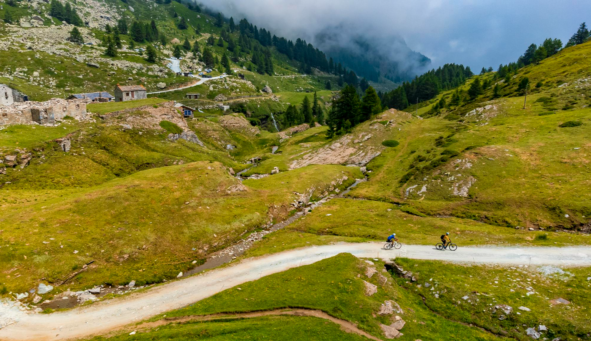
Must-do gravel routes in the Aosta Valley – the heart of the Italian Alps

Cammino Balteo – castles, vineyards and trails of the Aosta Valley

Alta Via n. 2 of the Aosta Valley — high peaks and beautiful valleys in Italy

Paths, castles and views of Italy’s Aosta Valley – Cammino Balteo
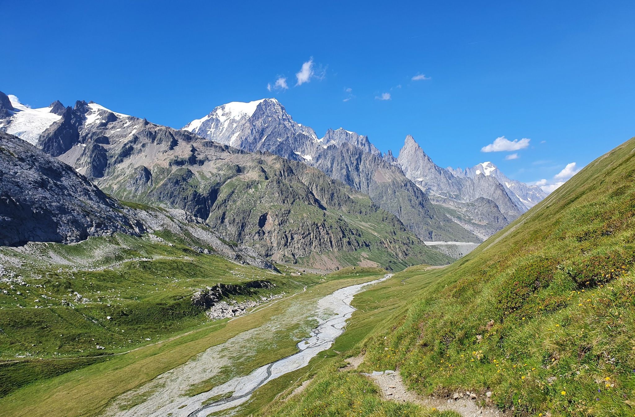
High peaks and beautiful valleys in Italy – Aosta Valley’s Alta Via Trail 2
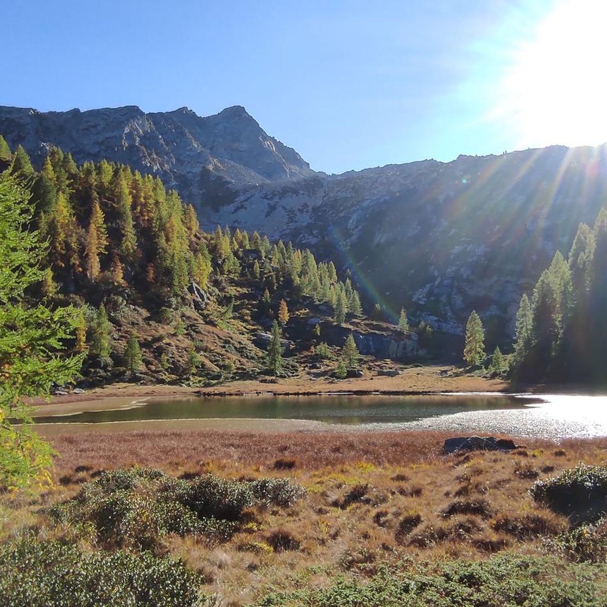
Hiking around Pontboset
MTB Trails around Pontboset
Road Cycling Routes around Pontboset
Running Trails around Pontboset

Gravel biking around Pontboset
Other adventures around Pontboset


Tips from the Community

The Forte di Bard seen from the bridge over the Dora Baltea river offers one of the most iconic and photographed views in the Aosta Valley. This spectacular perspective captures the imposing, craggy fortress that dominates the village below and the river waters.
0
0

From this point, you can enjoy a splendid view of Verrès Castle, an imposing 14th-century medieval fortress that dominates the valley and adds a fascinating historical touch to the surrounding landscape. Built by the Challant family for defensive and residential purposes, it is today one of the best-preserved medieval castles in the region.
2
0
Brusson is a renowned mountain resort, renowned for its tranquil atmosphere and Alpine landscapes. Its heart is the lake, an easily accessible body of water perfect for relaxing walks, picnics, and outdoor activities. In winter, the town becomes a hub for cross-country skiing.
1
0

very beautiful hill with slopes around 10%
0
0

Be careful, the old road that leads to Bard is blocked by a landslide, but they made a variant with a climb of about 100m with a gradient that reaches 30% (at least the Garmin reported this)
0
0

Beautiful bridge connecting Hone to Bard. Magnificent view of the fort.
2
0

Always interesting glimpses😜
0
0

While traveling along the Via Francigena, on the stretch from Arnad to Bard, you cross this characteristic three-arched pedestrian bridge. On the left orogr. area with a bench for rest.
1
0
Frequently Asked Questions
How many touring cycling routes are available around Pontboset?
Pontboset offers a wide selection of touring cycling routes, with over 60 options available. These routes cater to various skill levels, including 13 easy, 11 moderate, and 43 difficult trails.
What kind of terrain can I expect on touring cycling routes in Pontboset?
The terrain around Pontboset is diverse, featuring a mix of asphalt, dirt roads, and trails. Routes wind through coniferous forests, deep gorges carved by the Ayasse stream, and alpine valleys. You'll encounter varied elevations, from valley floors to challenging mountain passes, often within the Mont Avic Natural Park.
What natural features and landmarks can I see along the touring cycling routes?
Cycling routes in Pontboset offer stunning natural beauty. You can explore the dramatic gorges of the Ayasse Stream, historic stone bridges, and pristine alpine lakes. Notable lakes include Lake Muffé and Lake Miserin, which is near the Madonna delle Nevi sanctuary. Many routes also provide panoramic views of the Monte Rosa chain and the Matterhorn.
Are there family-friendly touring cycling routes in Pontboset?
Yes, Pontboset offers several easy touring cycling routes suitable for families. For instance, the Dora Baltea Cycle Path: Verrès - Issogne Loop is an easy 6.8-mile (10.9 km) trail that follows a dedicated cycle path, perfect for a relaxed family ride.
Can I bring my dog on touring cycling trails in Pontboset?
While many outdoor areas in the Aosta Valley are dog-friendly, it's always best to check specific regulations for trails, especially within protected areas like the Mont Avic Natural Park. Generally, dogs on a leash are permitted, but ensure they are well-behaved and that you clean up after them.
What is the Ciclovia della Valle di Champorcher like for touring cyclists?
The Ciclovia della Valle di Champorcher is a significant draw for touring cyclists, stretching approximately 22 km. It traverses high-altitude landscapes from Pontboset to Champorcher, offering memorable views of the Piamprato valley. The route features mixed terrain, including asphalt, dirt roads, and trails, and is marked with different difficulty levels. E-bike charging stations are available in Savin (Pontboset), Château, and Dondena refuge.
Are there challenging touring cycling routes for experienced cyclists?
Absolutely. Pontboset is home to many challenging routes. An example is the Issogne Castle – Brusson loop from Verres, a difficult 33.9-mile (54.5 km) trail with significant elevation gain, offering a demanding experience for seasoned touring cyclists.
Where can I park my car when cycling in Pontboset?
Parking is generally available in the main villages of Pontboset and at trailheads. Specific parking areas for cyclists can be found in Capoluogo Pontboset and other hamlets, providing convenient access to the cycling routes.
Is public transport available to Pontboset for cyclists?
Public transport, specifically the VITA bus service in the Aosta Valley, connects to Pontboset. Cyclists should check the current policy regarding bike carriage, as space for bicycles can be limited, especially during peak seasons.
What is the best time of year for touring cycling in Pontboset?
The best time for touring cycling in Pontboset is typically from late spring to early autumn (May to October). During these months, the weather is generally mild, and the mountain passes are clear of snow, offering optimal conditions for exploring the diverse landscapes.
Are there any circular touring cycling routes available?
Yes, there are several circular touring cycling routes. For example, the difficult View of Fort Bard – Echallod Stone Bridge loop from Hône-Bard is a 43.0-mile (69.2 km) route that provides a comprehensive tour of the area's highlights, including views of Fort Bard and historic bridges.
What do other touring cyclists enjoy most about the routes in Pontboset?
The touring cycling routes around Pontboset are highly rated by the komoot community, with an average score of 4.2 stars from over 60 reviews. Cyclists frequently praise the region's diverse landscapes, the dramatic river gorges, the historic stone bridges, and the opportunity to cycle through the pristine Mont Avic Natural Park.
Most popular routes around Pontboset
Most popular attractions around Pontboset

Get inspired with the komoot mobile app


Explore more
Browse the best Cycling routes in other regions.
