The best running trails around Pré-Saint-Didier
4.4
(37)
4,282
runners
18
runs
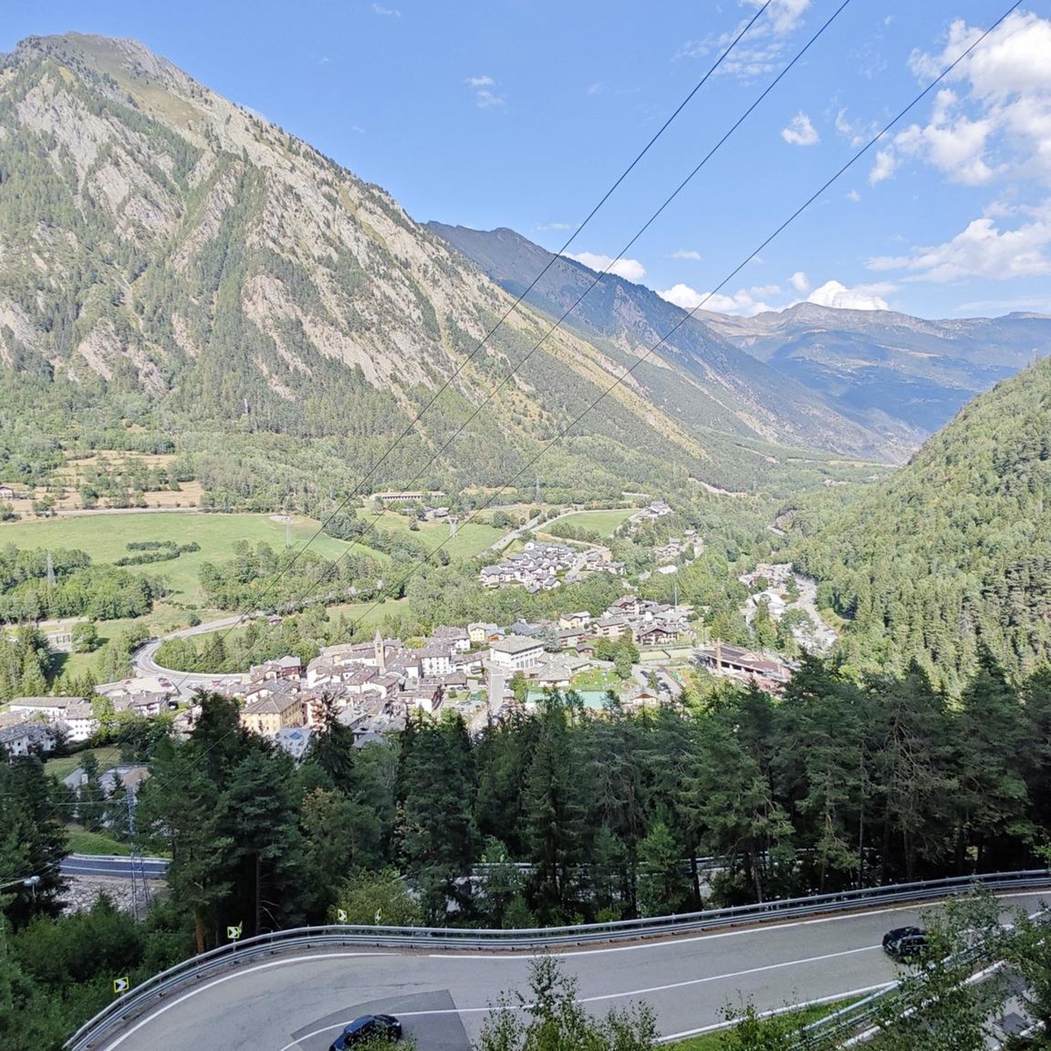
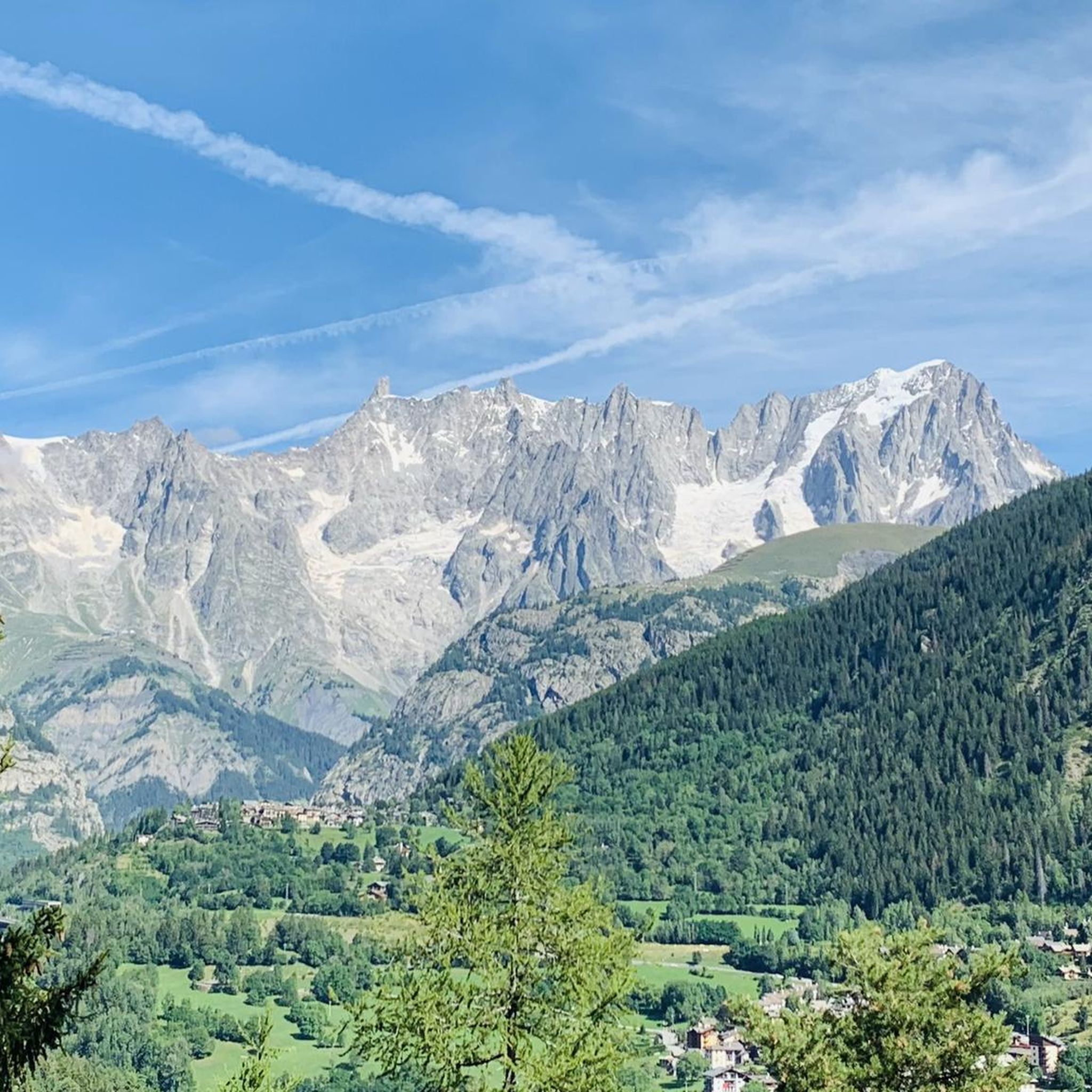
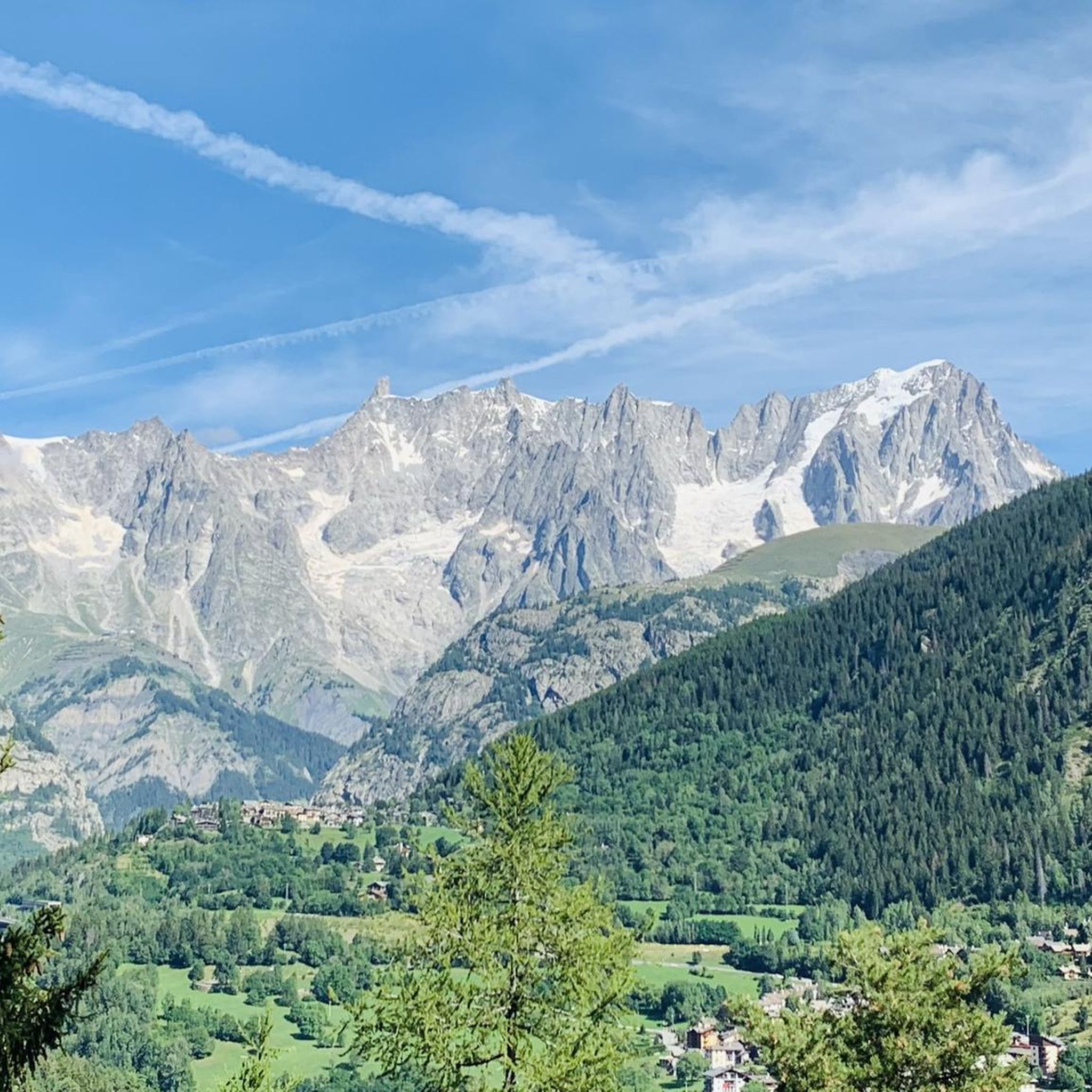
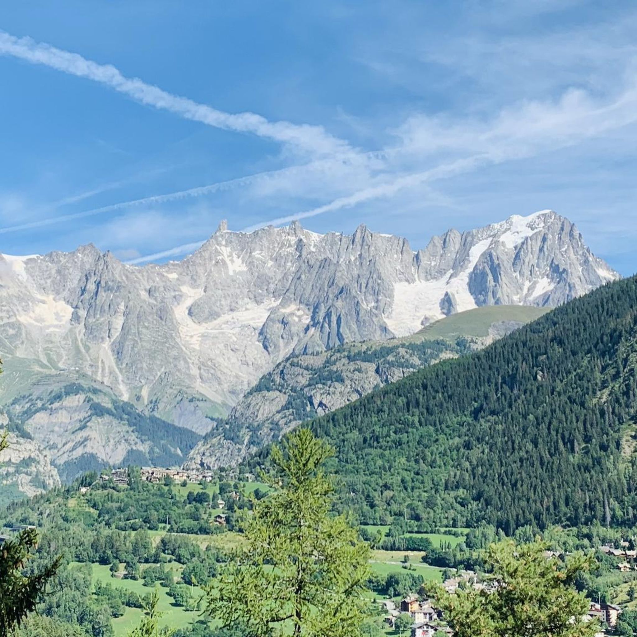
Jogging routes around Pré-Saint-Didier are set within the Italian Alps, at an altitude of 1,000 meters, offering diverse terrain for runners. The region is characterized by the majestic Mont Blanc massif providing a constant backdrop, the deep Orrido Gorge carved by the Dora di Verney stream, and the Dora Baltea River flowing through the town. Runners can experience varied environments, including thick woods, open meadows, and trails that cross vineyards, with options ranging from gentle paths to routes with significant…
Last updated: July 4, 2026
67
runners
11.7km
01:44
600m
600m
Hard run. Very good fitness required. Sure-footedness, sturdy shoes and alpine experience required.
5.0
(1)
32
runners
11.6km
01:33
380m
380m
Hard run. Very good fitness required. Sure-footedness, sturdy shoes and alpine experience required.

Sign up for free
37
runners
8.79km
01:06
250m
250m
Moderate run. Good fitness required. Mostly paved surfaces. Suitable for all skill levels.
12
runners
8.66km
01:05
300m
300m
Hard run. Good fitness required. Sure-footedness, sturdy shoes and alpine experience required.
36
runners
4.99km
00:32
70m
70m
Easy run. Great for any fitness level. Mostly paved surfaces. Suitable for all skill levels.
Get access to more routes and recommendations from other explorers.
Sign up for free
Already have an account?
Our route recommendations are based on thousands of hikes, rides, and runs completed by other people on komoot.
Start today with a free account
Your next adventure awaits.
Login or Signup

Tips from the Community


Small town crossed by the SS26 renowned for its thermal springs
3
0

Take advantage of the opportunity to have a good refreshment
1
0

Ermitage is a small mountain town with incredible views of Mont Blanc. In the past, a hermit lived in this small chapel, hence the name of the place. Now, it's a wonderful place if you're looking for some tranquility not far from the city below. In Ermitage, there is also a restaurant with a beautiful terrace.
2
0

Courmayeur is a cool town in the Italian Alps that's a must-stop on the Tour du Mont Blanc (TMB). It's known for its epic views of Mont Blanc, its quaint pedestrian streets, and its nice restaurants and shops. Courmayeur is a great place to chillax and refuel after a day of hiking on the TMB. There are tons of cafes and restaurants where you can enjoy a delish meal and a glass of wine. You can also wander around the town's shops and pick up some hiking gear.
0
0
The picturesque Dolonne area is the first encounter we make along the Tour du Mont Blanc (TMB) route. The heart of Dolonne is made up of old houses of stone and wood that reflect the alpine architecture of the area. The narrow streets and the atmosphere has remained in the spirit of the small mountain village, even though it is in fact only a few minutes from the town center of Courmayeur. Dolonne, especially in winter, is a hotspot for sports activities with its access to cable cars. There are shops and restaurants, especially along the Dora Baltea river.
1
0
The pretty hamlet of Dolonne is a center for both summer and winter sporting activities, offering views of Mont Blanc. It is a great starting point for excursions in the area as you can access the trails quickly. There are also shops, restaurants and accommodation facilities, so you will have everything you need.
3
1

Nice little village just before Courmayeur, famous for its thermal baths
1
0
Frequently Asked Questions
How many running routes are available around Pré-Saint-Didier?
There are over a dozen dedicated running routes around Pré-Saint-Didier, catering to various fitness levels. These include 1 easy, 5 moderate, and 7 difficult trails, offering diverse terrain from gentle paths to challenging mountain runs.
What kind of terrain can I expect on the jogging trails in Pré-Saint-Didier?
Jogging routes in Pré-Saint-Didier offer a wide variety of terrain. You'll find paths through thick woods on steep slopes, open meadows, and even trails that cross vineyards. The region is characterized by deep ravines, areas carved by the Dora Baltea stream, and stunning alpine landscapes.
Are there any running routes with views of Mont Blanc?
Absolutely! Many running routes in Pré-Saint-Didier provide continuous and breathtaking views of the majestic Mont Blanc massif and its glaciers. For example, the difficult Courmayeur – Courmayeur loop from Courmayeur is known for its constant Mont Blanc vistas.
Are there any family-friendly jogging paths in the area?
Yes, Pré-Saint-Didier offers options suitable for families. The trail leading to the panoramic footbridge over the Orrido Gorge is an easy and visually rewarding short run or walk, perfect for a family outing. The region also features a designated 'health path' for light jogging.
What natural attractions can I see while running in Pré-Saint-Didier?
The region is rich in natural beauty. You can run past the impressive Rutor’s First Waterfall, explore trails near the Dora Baltea River, or discover picturesque alpine lakes like Lake Arpy. The Orrido Gorge with its panoramic footbridge is another unique natural feature.
Are there any circular running routes around Pré-Saint-Didier?
Yes, there are several circular running routes. A popular moderate option is the Pré-Saint-Didier loop from Pré-Saint-Didier, which is 8.8 km long and takes you through local meadows and woodlands. Another great choice is the Courmayeur loop from Verrand, a moderate 10.1 km path.
What do other runners enjoy most about jogging in Pré-Saint-Didier?
The running routes in Pré-Saint-Didier are highly rated by the komoot community, with an average score of 4.5 stars from over 40 reviews. Runners frequently praise the stunning alpine scenery, the continuous views of Mont Blanc, and the variety of terrain that caters to different skill levels.
Are there any challenging running routes for experienced runners?
Absolutely. For experienced runners seeking a challenge, there are several difficult routes. The Courmayeur – Ermitage View of Mont Blanc loop from Courmayeur is an 11.3 km difficult trail offering significant elevation changes and rewarding views. The Mont Crammont Summit Trail from Elevaz is also a demanding 14.6 km path through alpine terrain.
Can I find running routes that pass by mountain huts?
Yes, some routes in the broader Mont Blanc area, accessible from Pré-Saint-Didier, can lead you past mountain huts. Notable huts in the region include the Walter Bonatti Hut and Rifugio Giorgio Bertone, which can serve as destinations or waypoints on longer, more challenging runs.
What is the best time of year for jogging in Pré-Saint-Didier?
Pré-Saint-Didier offers great jogging opportunities throughout the warmer months. Spring and autumn provide pleasant temperatures and vibrant scenery, while summer allows for higher altitude runs. Winter jogging is possible, but some trails may be covered in snow, requiring appropriate gear.
Are there any running routes that offer a significant elevation gain?
Yes, for those looking for a significant climb, the region offers challenging options. The itinerary from Pré-Saint-Didier to Col d'Arp, for instance, features a substantial altitude difference of 1240 meters over 8 kilometers, passing by Lake de la Youla and providing breathtaking views.
Most popular routes around Pré-Saint-Didier
Most popular attractions around Pré-Saint-Didier

Get inspired with the komoot mobile app


Explore more
Browse the best Running Trails & Routes in other regions.
