The best mountain hikes around Brissogne
5.0
(9)
48
hikers
5
hikes
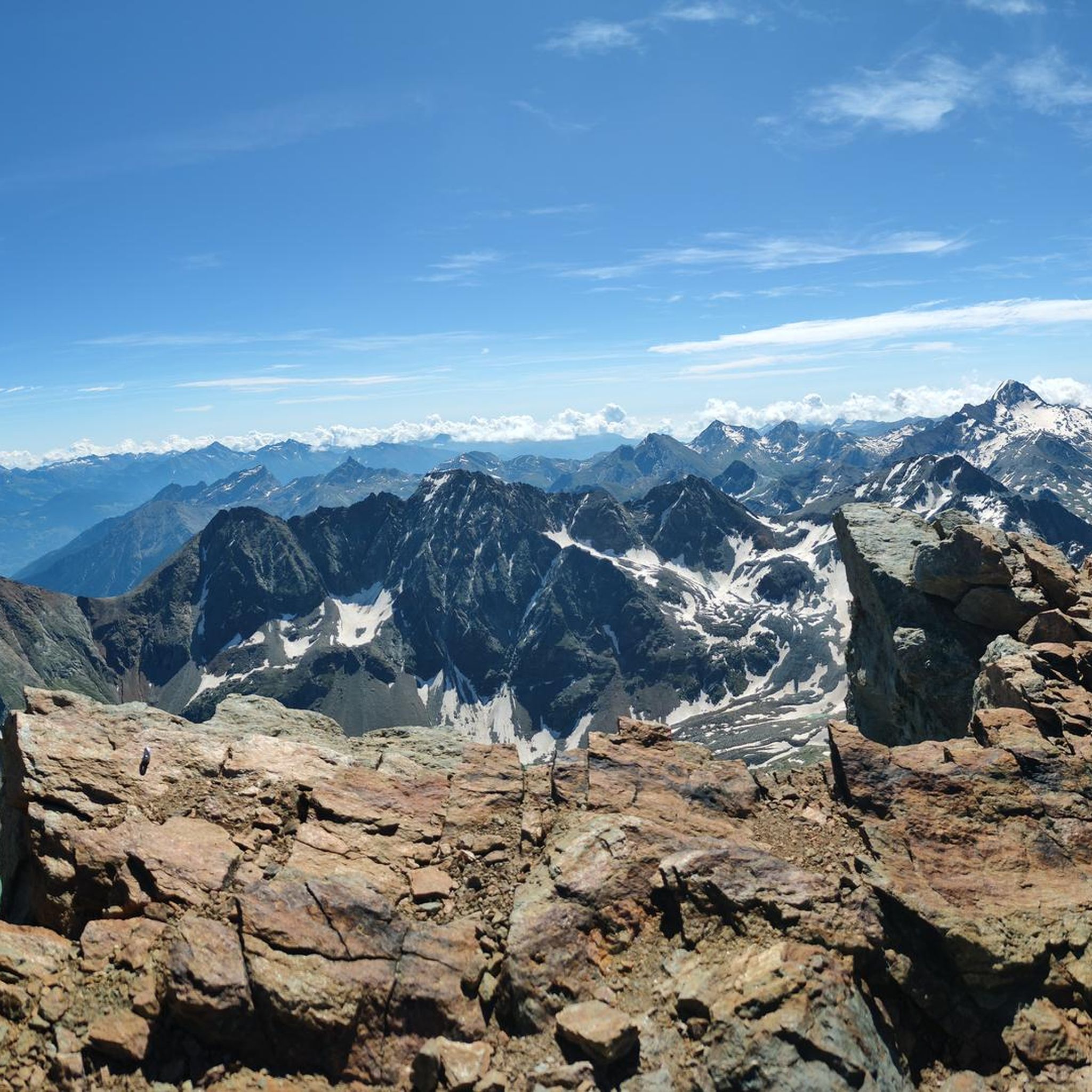
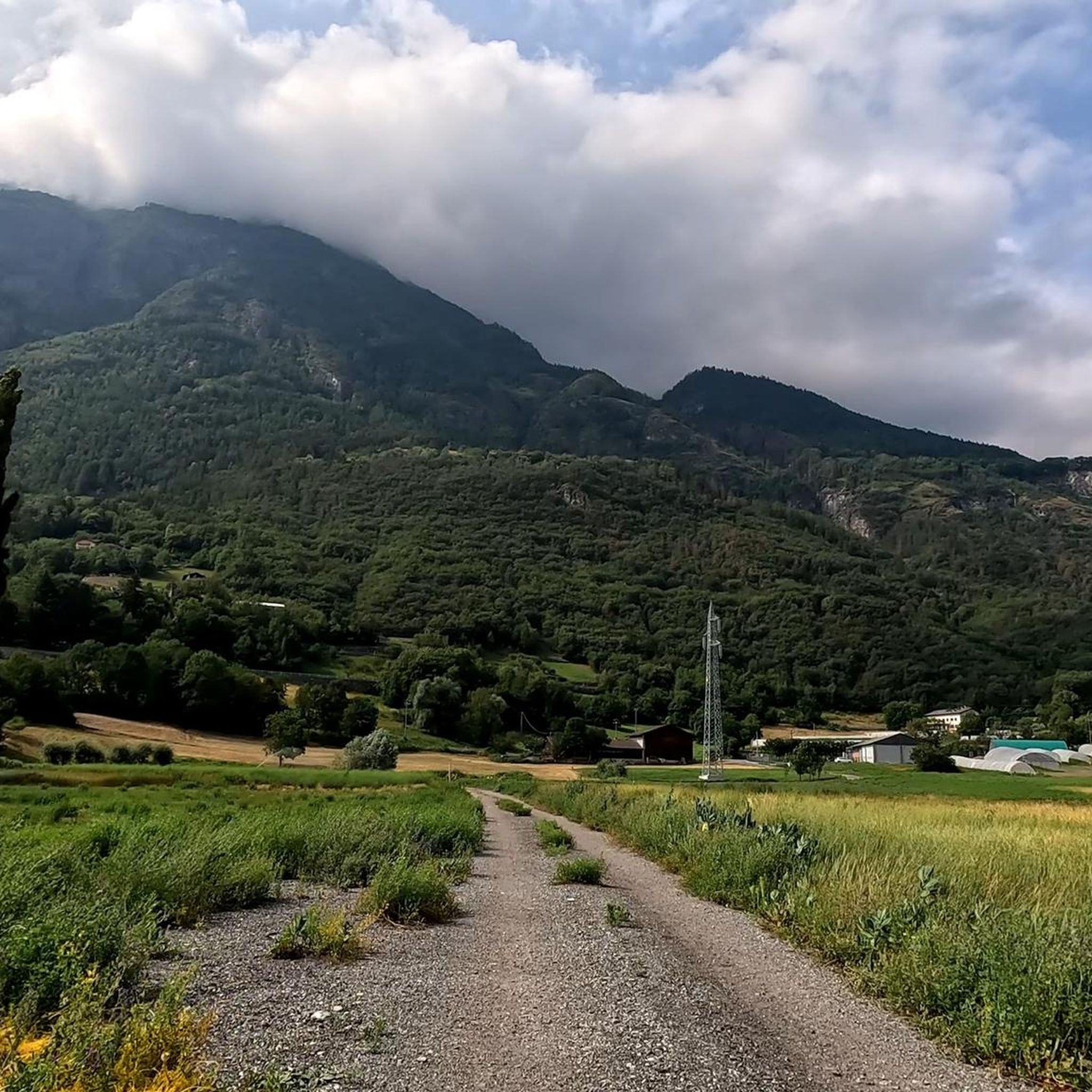
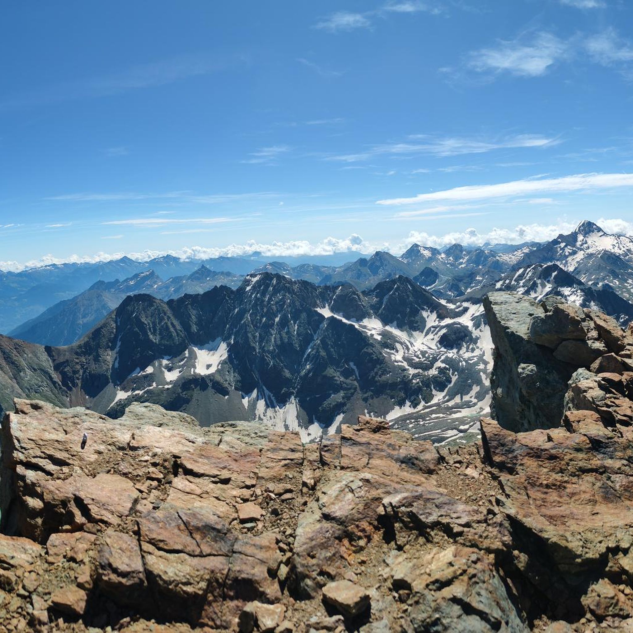
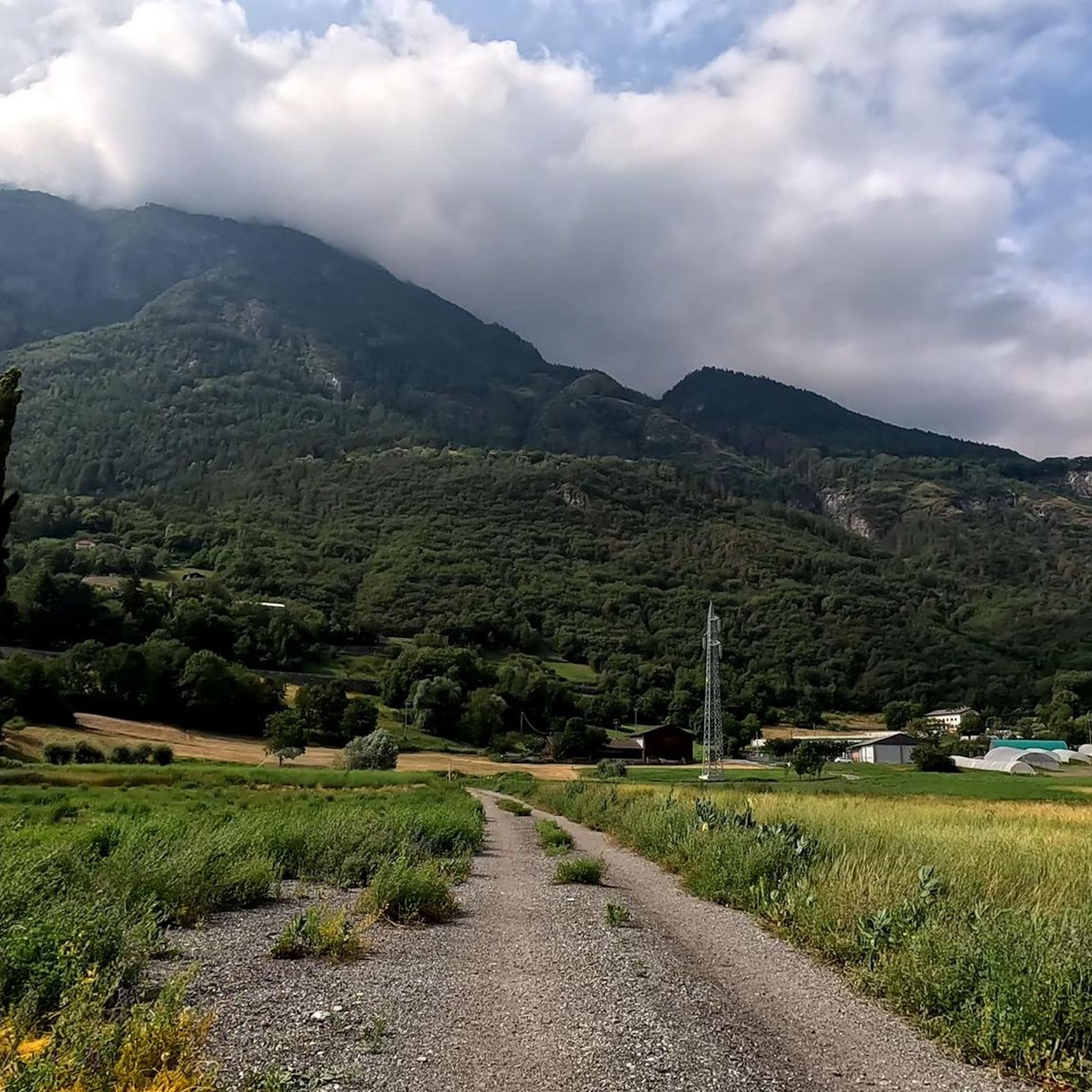
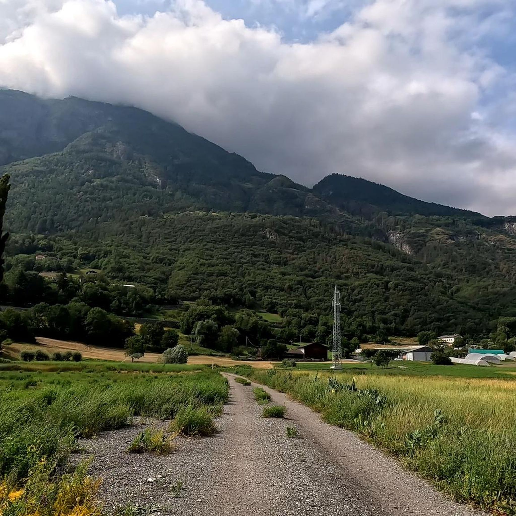
Mountaineering routes Brissogne are characterized by a significant elevation gain, ranging from the Dora Baltea river valley at approximately 500 meters to peaks around 2,800 meters. This dramatic altitude difference creates diverse natural landscapes, including the wetlands of Les Iles nature reserve at lower elevations and the alpine terrain of the Laures Valley higher up. The region's "envers" side, less exposed to direct sunlight, contributes to preserved natural areas and varied terrain suitable for mountaineering.
Best mountaineering routes around Brissogne
…Last updated: July 4, 2026
5.0
(5)
14
hikers
18.2km
07:54
1,030m
1,030m
Hard mountaineering route. Very good fitness required. Mostly accessible paths. Sure-footedness required.
5.0
(1)
12
hikers
8.87km
05:25
800m
800m
Hard mountaineering route. Very good fitness required. Sure-footedness, sturdy shoes and alpine experience required.

Sign up for free
5
hikers
12.9km
07:55
1,350m
1,350m
Hard mountaineering route. Very good fitness required. Sure-footedness, sturdy shoes and alpine experience required.
11
hikers
11.5km
07:16
1,240m
1,230m
Hard mountaineering route. Very good fitness required. Sure-footedness, sturdy shoes and alpine experience required.
5.0
(3)
6
hikers
7.32km
04:15
760m
760m
Moderate mountaineering route. Good fitness required. Mostly accessible paths. Sure-footedness required.
Our route recommendations are based on thousands of hikes, rides, and runs completed by other people on komoot.
Start today with a free account
Your next adventure awaits.
Login or Signup

Tips from the Community

The Rifugio Grauson offers cozy hospitality at 2,510 meters, with typical dishes from the Aosta Valley cuisine and thirty beds divided into comfortable rooms. The structure is the ideal starting point for exploring the Grauson Valley, the picturesque Lussert Lakes, and the surrounding peaks of the Cogne area.
1
0

Very beautiful village to spend your hikes in. Drinking water fountain present
0
0

Climbing with bike up to Blavy is such a nice experience on its own: stunning views on the Alps!
0
0

Spectacular view of Mont Blanc, on clear days it is reflected in the Loie lake
0
0

https://youtu.be/Pxndx9TNM5U?si=mH5XT38nxmCVjLSr Push, lift, and drag until you're over it, then you have a beautiful descent to Cogne.
0
0

A fantastic view, weather permitting: Mont Blanc, Grandes Jorasses, Matterhorn, Punta Rosa. The overview board tells you where each peak is located.
0
0

Frequently Asked Questions
How many mountaineering routes are available around Brissogne?
There are 8 mountaineering routes documented around Brissogne on komoot. These routes vary in difficulty, with 2 considered moderate and 6 classified as difficult, offering diverse challenges for mountaineers.
Are there any beginner-friendly mountaineering routes in Brissogne?
The mountaineering routes around Brissogne are generally challenging, with 6 out of 8 routes classified as difficult and 2 as moderate. There are no routes specifically listed as easy for beginners in this guide. The region's significant elevation changes, from 500 meters to peaks around 2,800 meters, contribute to the demanding nature of the trails.
What kind of terrain can I expect on mountaineering routes around Brissogne?
Mountaineering routes around Brissogne feature a diverse range of terrain due to the dramatic altitude difference. You can expect high-alpine landscapes, varied mountainous terrain, and areas with preserved nature, particularly on the 'envers' (less sun-exposed) side of the valley. Some routes also pass by alpine lakes and dramatic waterfalls.
Are there any circular mountaineering routes in Brissogne?
Yes, several routes around Brissogne are circular. For example, the Waterfall – Lillaz Waterfalls loop from Lillaz is a difficult 11.7 km circular trail. Another option is the Punta della Valletta (3,090 m) – Lago di Chamolé loop from Pila, a difficult 8.9 km loop offering views of Punta della Valletta and Lago di Chamolé.
What natural attractions or landmarks can I see along the mountaineering routes?
The routes often lead to stunning natural attractions. You might encounter impressive waterfalls like the Lillaz Waterfalls or the Second Waterfall of Lillaz. Higher up, you can experience breathtaking views from peaks and passes such as Punta Replan, which offers panoramic views of Mont Blanc and Monte Rosa, or Fenêtre de Champorcher with views of Gran Paradiso.
Can I find routes that feature waterfalls?
Absolutely. The Waterfall – Lillaz Waterfalls loop from Lillaz is a prominent route that passes by the notable Lillaz Waterfalls. The region is known for its dramatic waterfalls, making them a common feature on many trails.
What are the best seasons for mountaineering in Brissogne?
The best seasons for mountaineering in Brissogne are typically late spring, summer, and early autumn when the weather is more stable and trails are clear of snow at higher elevations. The Aosta Valley, where Brissogne is located, is renowned for its alpine environment during these months.
Is winter mountaineering possible in Brissogne?
Yes, winter mountaineering is possible, and the region offers opportunities for ice climbing, such as the Cascata Bassa delle Laures (Pink Gully). However, winter conditions require specialized gear, experience, and careful planning due to snow, ice, and potential avalanche risks. Always check current conditions before heading out.
What do other mountaineers enjoy most about mountaineering in Brissogne?
The area is highly rated by the komoot community, with an average score of 4.8 stars from more than 10 reviews. Mountaineers often praise the high-alpine lakes, dramatic waterfalls, and varied mountainous terrain that offer options for different ability levels, as well as the stunning panoramic views of iconic peaks like Mont Blanc and Monte Rosa.
Are there any routes that lead to high-alpine lakes?
Yes, several routes feature high-alpine lakes. The Punta della Valletta (3,090 m) – Lago di Chamolé loop from Pila takes you past the beautiful alpine Lago di Chamolé. Another option is the Lago di Chamolé – Bivacco Federigo Zullo loop from Pila, which also explores high-alpine terrain around Lago di Chamolé.
Are there opportunities for rock climbing near Brissogne?
While this guide focuses on mountaineering, the region around Brissogne does offer rock climbing opportunities. The Leverogne rock climbing wall is a notable spot that attracts climbers with its distinctive rock type, requiring a combination of friction, balance, and dynamic movements.
Most popular routes around Brissogne
Most popular attractions around Brissogne

Get inspired with the komoot mobile app


Explore more
Browse the best Mountain Hikes & Routes in other regions.
