The best walks and hikes around Alà/Alà Dei Sardi
4.7
(22)
71
hikers
8
hikes
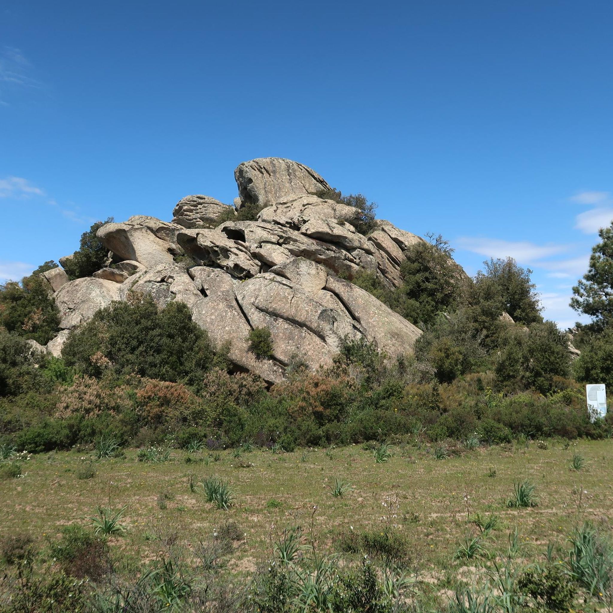
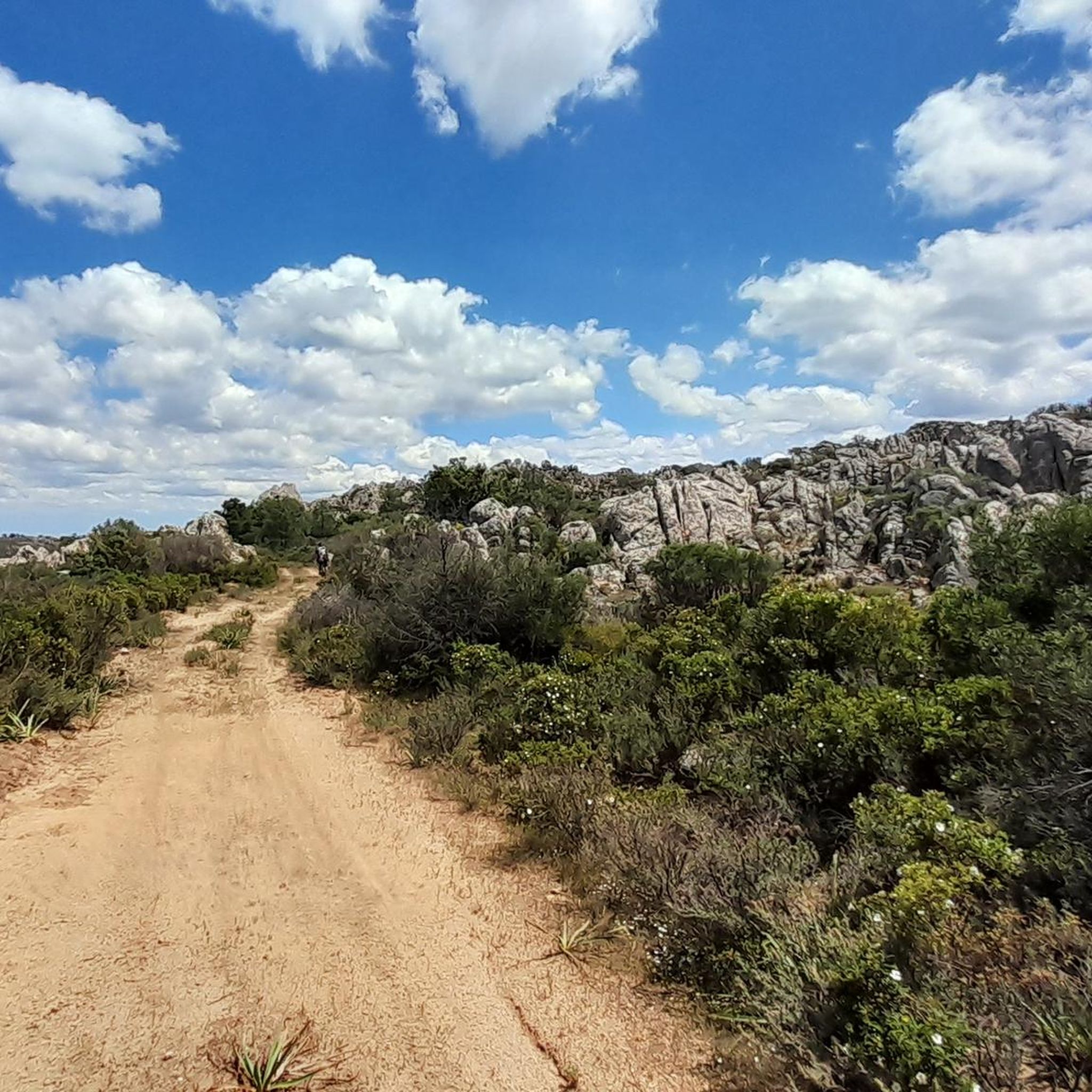
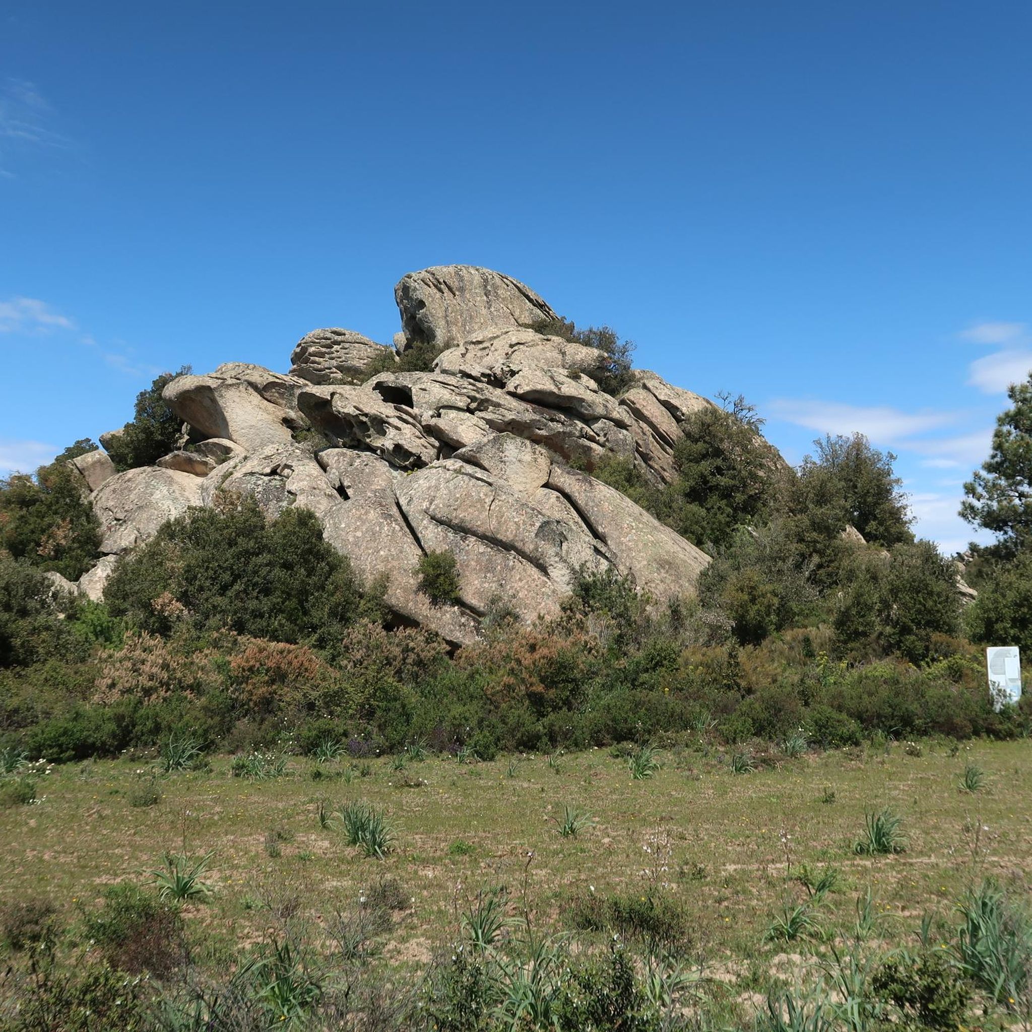
Hiking around Alà/Alà Dei Sardi offers diverse terrain within north-central Sardinia, characterized by rugged granite elevations and extensive forests of holm and cork oaks. The region features stunning valleys with streams, small lakes, and waterfalls, alongside stretches of Mediterranean scrub. Situated on a plateau at nearly 700 meters, it provides varied hiking experiences and is part of the UNESCO Tepilora, Rio Posada, and Montalbo biosphere reserve.
Best hiking trails around Alà/Alà Dei Sardi
- The most popular hiking route is Hiking loop from Agriturismo Ertila, a 3.1 miles (5.0 km) trail that takes 1 hour 31 minutes to complete. This easy loop explores the local landscape around the agriturismo.
- Another top favourite among local hikers is Parco Naturale di Tepilora loop from Sozza, a moderate 4.9 miles (7.9 km) path. This route leads through the ecologically significant Tepilora Natural Park.
- Local hikers also love the Deer Lakes – Riu Sos Vanzos loop from Vedetta Sas Crabas, a 3.3 miles (5.3 km) trail leading through valleys and water features, often completed in about 1 hour 30 minutes.
- Hiking around Alà/Alà Dei Sardi is defined by rugged granite elevations, extensive holm and cork oak forests, and valleys with streams and waterfalls. The network offers options for easy and moderate ability levels.
- The routes in Alà/Alà Dei Sardi are highly rated by the komoot community with an average score of 4.6 stars from over 15 reviews. More than 50 hikers have used komoot to explore Alà/Alà Dei Sardi's varied terrain.
Last updated: July 8, 2026
4.2
(5)
19
hikers
4.97km
01:31
180m
180m
Easy hike. Great for any fitness level. Easily-accessible paths. Suitable for all skill levels.
4.0
(2)
6
hikers
7.90km
02:14
180m
180m
Moderate hike. Good fitness required. Easily-accessible paths. Suitable for all skill levels.

Sign up for free
5.0
(1)
2
hikers
5.28km
01:30
120m
120m
Easy hike. Great for any fitness level. Easily-accessible paths. Suitable for all skill levels.
4.5
(4)
8
hikers
Easy hike. Great for any fitness level. Easily-accessible paths. Suitable for all skill levels.
5.0
(4)
3
hikers
5.78km
01:35
90m
90m
Easy hike. Great for any fitness level. Easily-accessible paths. Suitable for all skill levels.
Get access to more routes and recommendations from other explorers.
Sign up for free
Already have an account?
Our route recommendations are based on thousands of hikes, rides, and runs completed by other people on komoot.
Start today with a free account
Your next adventure awaits.
Login or Signup
Popular around Alà/Alà Dei Sardi
Tips from the Community

This beautiful nuraghe is located in a suggestive position: on top of a hill, surrounded by cork trees, holm oaks and Mediterranean scrub. It can be seen from the street and can be accessed for free.
0
0

There is an incredibly impressive, gnarled hundred-year-old oak tree here.
1
0
Hidden in the forest and accessible via a small trail, you will find the remains of Giant's Grave 1 here.
0
1
There is a nice rest area here.
0
0
This beautiful rest area is a little off the road.
0
0
The Nuraghe Loelle, hidden among cork oaks and holm oaks, gradually reveals its fascinating and mysterious characteristics, perched on a granite outcrop, the main rock of the region, and dominating the plateau and the houses of Buddusò. Its structure consists of a central tower leaning on a trefoil bastion and is considered a “mixed” type as it has features of both a “corridor” and a tholos nuraghe. In fact, it is believed to be a protonuraghe, rebuilt in later phases to meet new architectural and cultural needs. All around you will notice the traces of the hut village with a circular floor plan. Upon entering, you will be surprised that the entrance does not open onto a courtyard or a corridor leading to a central room, as was common in these Bronze Age buildings. In the Loelle, however, a staircase leads clockwise around the tower and directly to the second level. Here begins another corridor, which, if you walk all the way through it, leads to the "ground floor", while about halfway there is another ramp that leads to the third level, where the final and main room opens. Before you enter the room, you will notice an apse-shaped niche on the right. In front of the keep, a bastion crossed by corridors was built with circular walls that have a concave-convex line. Outside the bastion, on the east side, there is another special feature of the Loelle: by exploiting a natural gorge, a separate room was created with a tholos vault that opens about one meter below the surface of the earth. Source: https://www.sardegnaturismo.it/en/explore/nuraghe-loelle
0
0

The Riu sos Vanzos forms two lakes at an altitude of 780 m. An ideal place for a cool break.
0
0

An undervalued piece of history in the center of the town
0
0
Frequently Asked Questions
What kind of terrain can I expect on hikes around Alà/Alà Dei Sardi?
The region offers a diverse landscape, characterized by rugged granite elevations and extensive forests of holm and cork oaks. You'll find trails winding through stunning valleys, alongside streams, and through stretches of Mediterranean scrub. The varied topography provides a range of experiences, from challenging ascents to more leisurely walks.
Are there any easy hiking trails suitable for beginners or casual walkers?
Yes, Alà/Alà Dei Sardi has several easy routes. For instance, the Hiking loop from Agriturismo Ertila is an easy 5 km trail that explores the local landscape. Another accessible option is the Domus di San Sebastiano loop from Uddusò/Buddusò, which is also rated as easy.
Can I find circular hiking routes in the area?
Many of the trails around Alà/Alà Dei Sardi are designed as loops, offering a convenient way to explore without retracing your steps. Examples include the Parco Naturale di Tepilora loop from Sozza and the Deer Lakes – Riu Sos Vanzos loop from Vedetta Sas Crabas.
What is the best time of year to go hiking in Alà/Alà Dei Sardi?
The excellent climate in Sardinia makes Alà/Alà Dei Sardi an attractive destination for trekking for much of the year. Spring and autumn generally offer the most pleasant temperatures for hiking, avoiding the peak heat of summer while still enjoying mild weather.
Are there any waterfalls or lakes to discover on the trails?
Yes, the region features stunning valleys with streams that form small lakes and impressive waterfalls, such as Su Fossu Malu. You can also find the crystal-clear Sa Coiluna Lake, surrounded by lush Sardinian nature, offering picturesque spots for outdoor appreciation.
What historical or archaeological sites can I visit while hiking?
The landscape is rich in archaeological sites, adding a cultural dimension to your hike. You can explore numerous Nuragic sites, including towers, villages, and Tombs of Giants. Notable examples include Sos Nurattolos, the well-preserved Nuraghe Boddò, and the village of Su Pedrighinosu. The Nuraghe Loelle is also hidden among cork and holm oaks, offering a fascinating exploration of ancient Sardinian architecture, and is part of the Tomb of the Giants of Loelle – Nuraghe Loelle loop.
Are there any viewpoints with panoramic vistas?
Yes, from the village of Alà dei Sardi itself, you can enjoy views of the Gulf of Olbia and the majestic outline of Tavolara. The forest of Lithos also offers glimpses of the Barbagia mountains. For a challenging ascent with rewarding views, consider the Climb to Pedra Bianca near Alà dei Sardi.
Are the hiking trails around Alà/Alà Dei Sardi suitable for families with children?
Many of the trails are suitable for families, especially the 'easy' rated routes. The Deer Lakes – Riu Sos Vanzos loop from Vedetta Sas Crabas, for example, is an easy 5.3 km trail that leads through valleys and water features, which can be engaging for children.
Can I bring my dog on the hiking trails?
While many trails in natural areas are generally dog-friendly, it's always advisable to keep dogs on a leash, especially in areas with wildlife like mouflon and eagles, or near livestock. Always check for specific local regulations or signage at trailheads regarding pets.
Is public transport available to reach the hiking trailheads?
Public transport options directly to specific trailheads might be limited in this rural region. It is generally recommended to have private transportation to access the more remote starting points for hikes around Alà/Alà Dei Sardi. Check local bus schedules for connections to the main village.
Are there designated parking areas near the hiking trails?
Parking availability varies by trailhead. For routes starting from specific points like Agriturismo Ertila or Sozza, there are often informal or designated parking spots. It's best to plan your route in advance and check the starting point for parking information.
Are there any permits required for hiking in the Alà/Alà Dei Sardi area?
Generally, no specific permits are required for hiking on the established trails in the Alà/Alà Dei Sardi area. However, as the region is part of the UNESCO Tepilora, Rio Posada, and Montalbo biosphere reserve, always respect local regulations, stay on marked paths, and practice Leave No Trace principles to preserve its natural beauty.
What do other hikers enjoy the most about hiking in Alà/Alà Dei Sardi?
The area is highly rated by the komoot community, with an average score of 4.6 stars from over 15 reviews. Reviewers often praise the diverse terrain, the quiet woodlands, and the opportunity to discover both natural beauty and significant archaeological sites.
Most popular routes around Alà/Alà Dei Sardi
Most popular attractions around Alà/Alà Dei Sardi

Get inspired with the komoot mobile app


Explore more
Browse the best Hikes in other regions.
