The best cycling routes around St. Anton an der Jeßnitz
4.6
(396)
4,020
riders
16
rides
Best touring bike trails St. Anton an der Jeßnitz offer a diverse landscape for cyclists. The region is characterized by varied topography, including significant elevation changes and river valleys, as indicated by routes traversing areas like the Ybbstal. Cyclists can expect a mix of challenging ascents and descents, with some routes reaching over 800 meters of elevation gain. The terrain includes both open areas and sections that follow historic railway lines, providing a range of scenic experiences.
Best touring cycling routes around St. Anton an der Jeßnitz
- The most popular touring cycling route is Lueggraben – Töpperschloss Neubruck loop from Katastralgemeinde Grafenmühl, a 14.3 miles (23.0 km) trail that takes 1 hour 58 minutes to complete. This difficult route features over 540 meters of elevation gain.
- Another top favourite among local touring cyclists is Schlagerboden Plateau – Blassenstein Car Park loop from Schloss Neubruck, a difficult 14.3 miles (23.0 km) path. This route includes over 600 meters of ascent, traversing varied terrain.
- Local touring cyclists also love the Historic Ybbstal Railway – Herminenquelle loop from Katastralgemeinde Grafenmühl, a 11.6 miles (18.7 km) trail leading through the Ybbstal valley, often completed in about 1 hour 12 minutes.
- Touring cycling around St. Anton an der Jeßnitz is defined by hilly terrain, river valleys, and plateaus. The network offers options for different ability levels, including easy, moderate, and difficult routes.
- The routes in St. Anton an der Jeßnitz are highly rated by the komoot community with an average score of 4.6 stars from over 300 reviews. More than 3000 touring cyclists have used komoot to explore St. Anton an der Jeßnitz's varied terrain.
Last updated: July 1, 2026
5.0
(3)
43
riders
Hard bike ride. Very good fitness required. Mostly paved surfaces. Suitable for all skill levels.
5.0
(1)
20
riders
23.0km
01:56
600m
600m
Hard bike ride. Very good fitness required. You may need to push your bike for some segments of this route.

Sign up for free
17
riders
Moderate bike ride. Good fitness required. Mostly paved surfaces. Suitable for all skill levels.
12
riders
Hard bike ride. Very good fitness required. Mostly paved surfaces. Suitable for all skill levels.
5.0
(2)
12
riders
30.5km
02:24
840m
840m
Hard bike ride. Very good fitness required. Mostly paved surfaces. Suitable for all skill levels.
Get access to more routes and recommendations from other explorers.
Sign up for free
Already have an account?
Our route recommendations are based on thousands of hikes, rides, and runs completed by other people on komoot.
Start today with a free account
Your next adventure awaits.
Login or Signup
Popular around St. Anton an der Jeßnitz

North-South Trail through Austria – Small country, big paths!
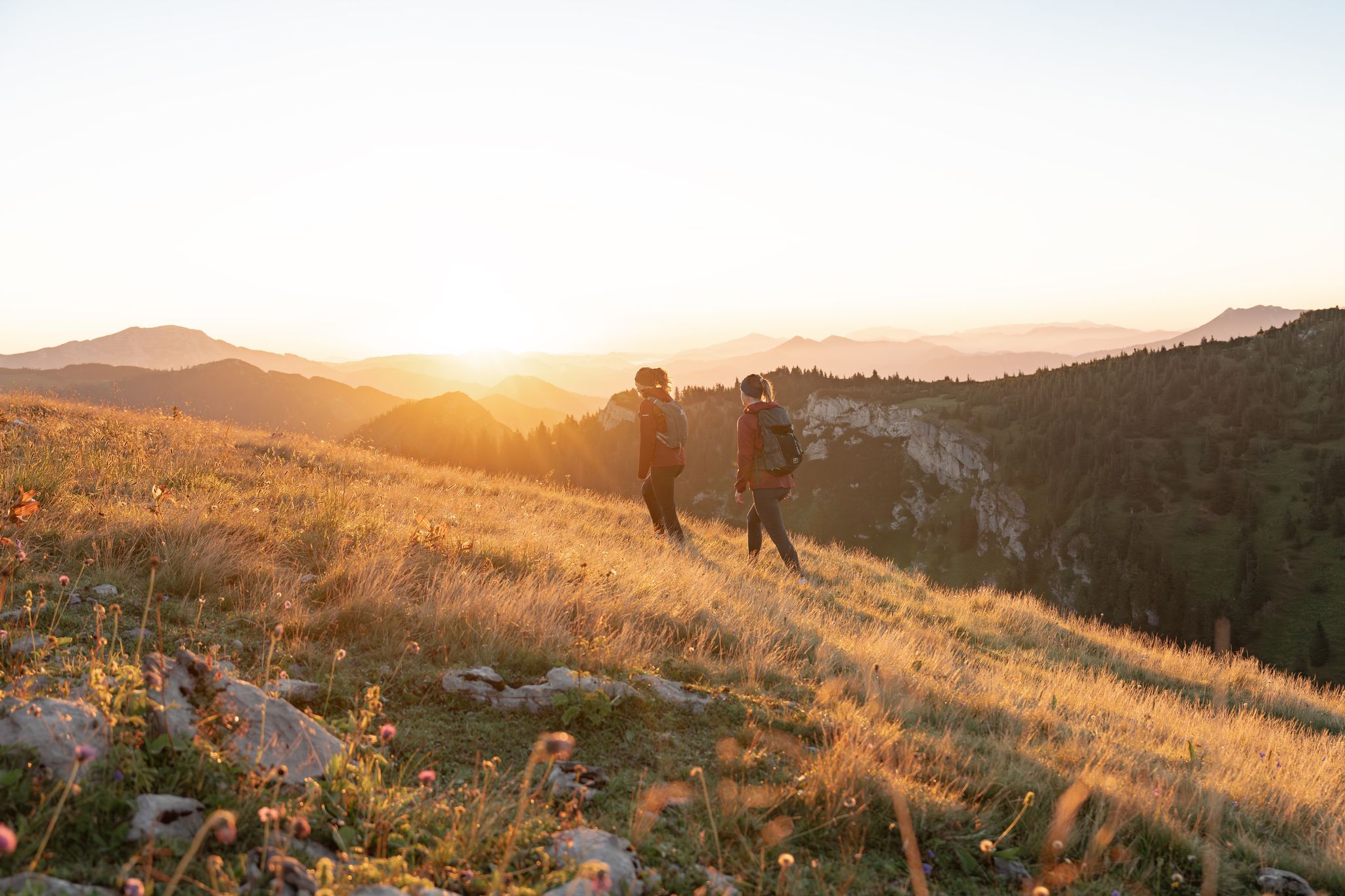
Get away from it all – experience the Mostviertel's six most beautiful hikes
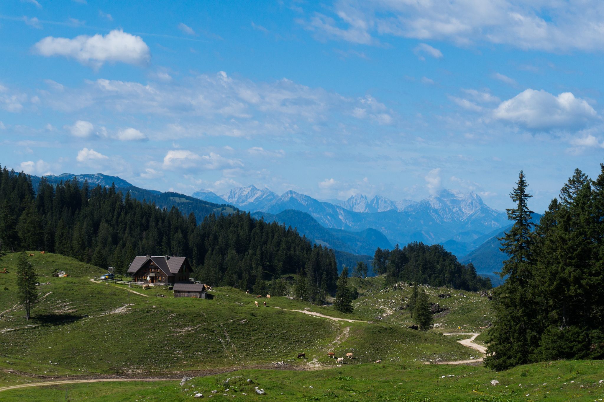
Cool mountain air – summer in Mostviertel
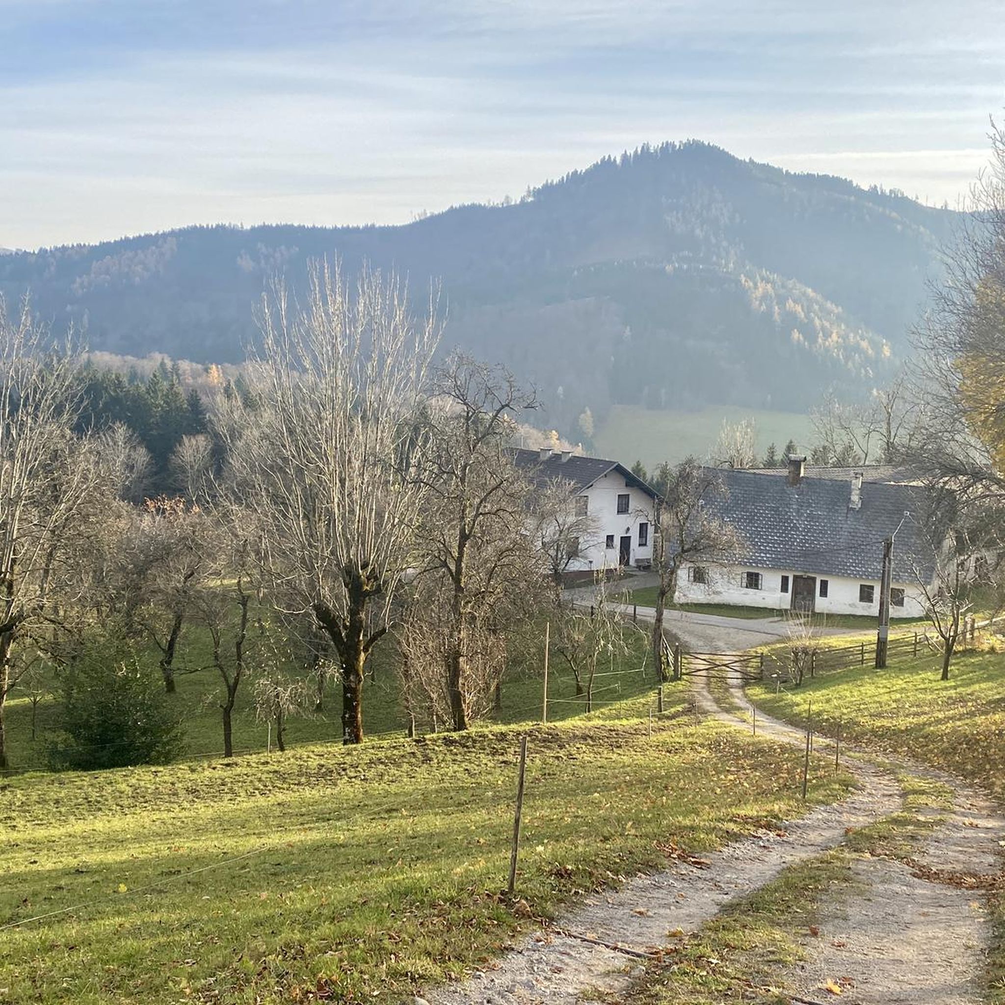
Hiking around St. Anton an der Jeßnitz
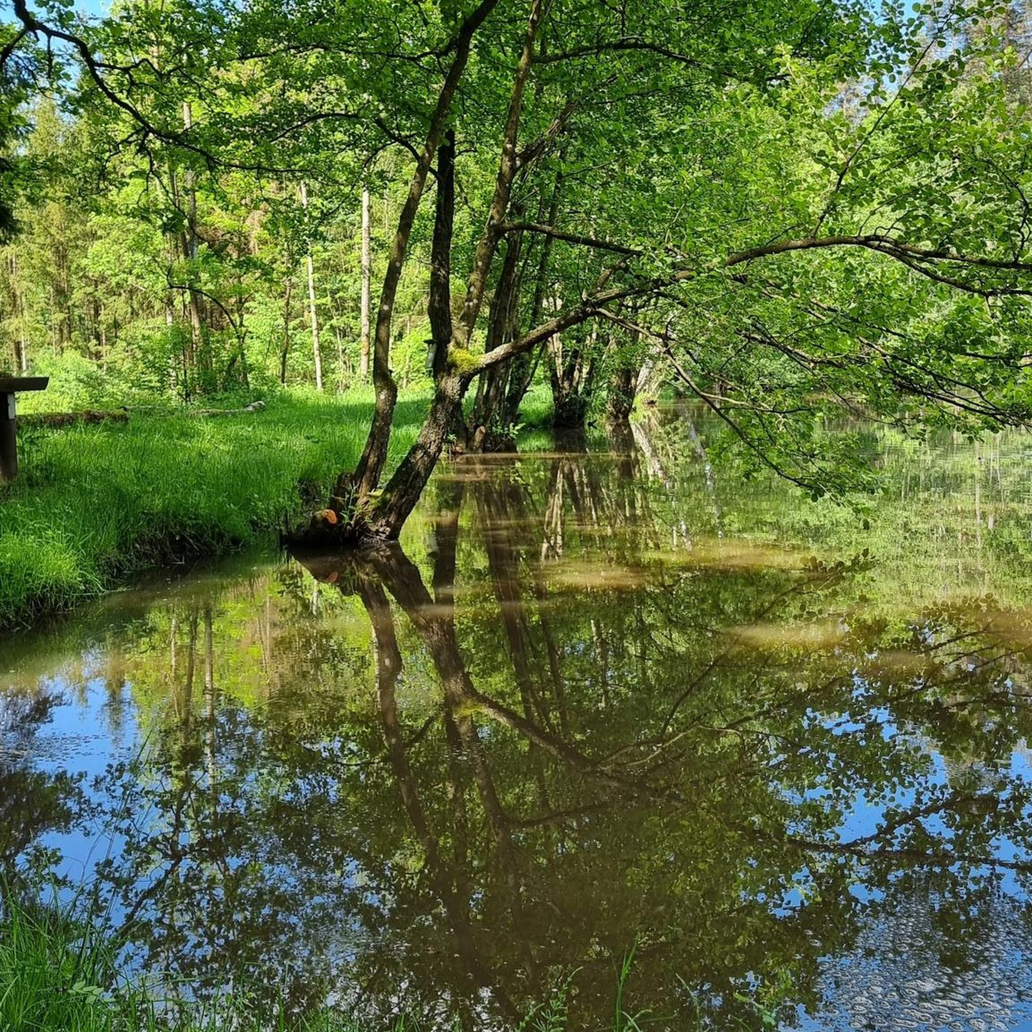
Mountain Hikes around St. Anton an der Jeßnitz
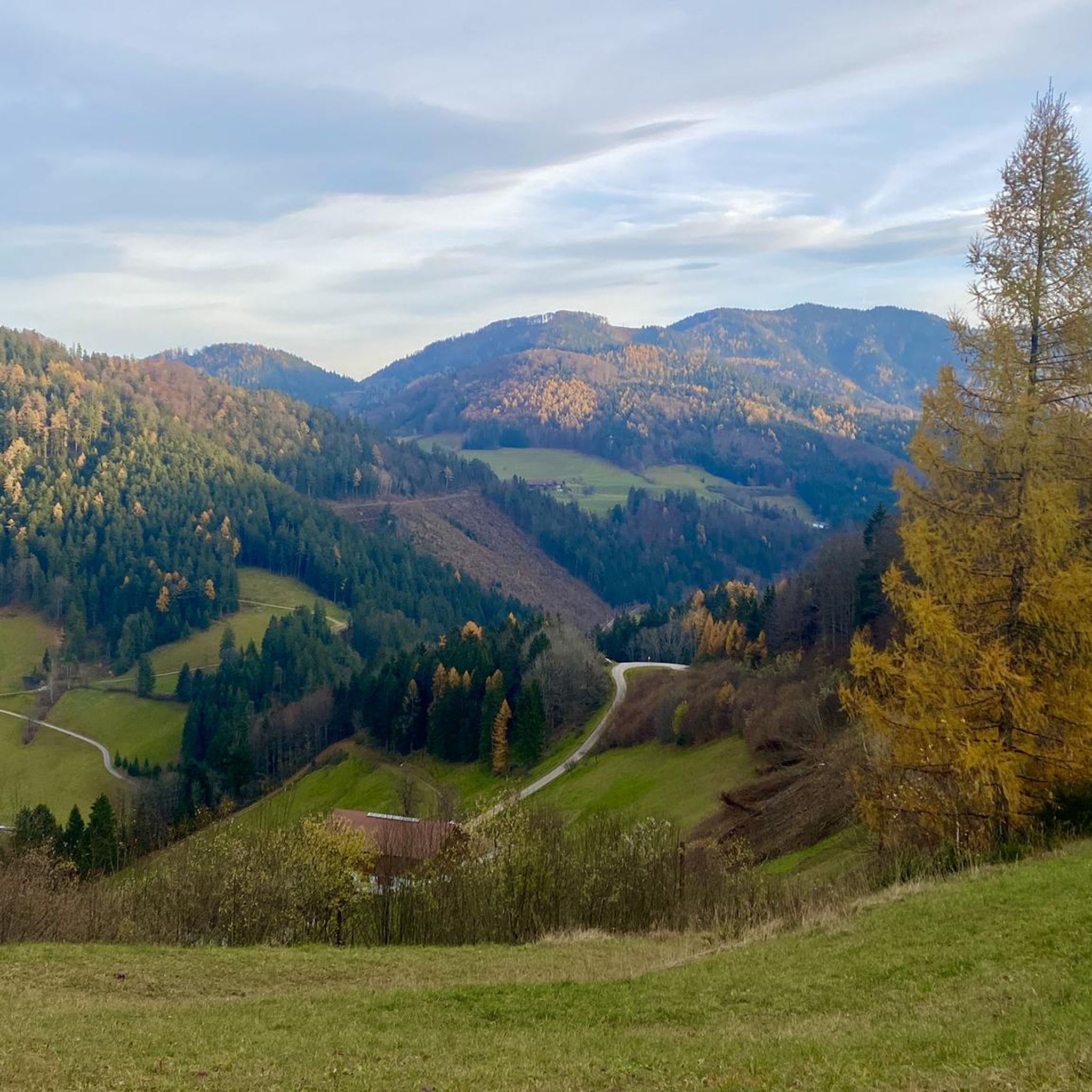
Road Cycling Routes around St. Anton an der Jeßnitz
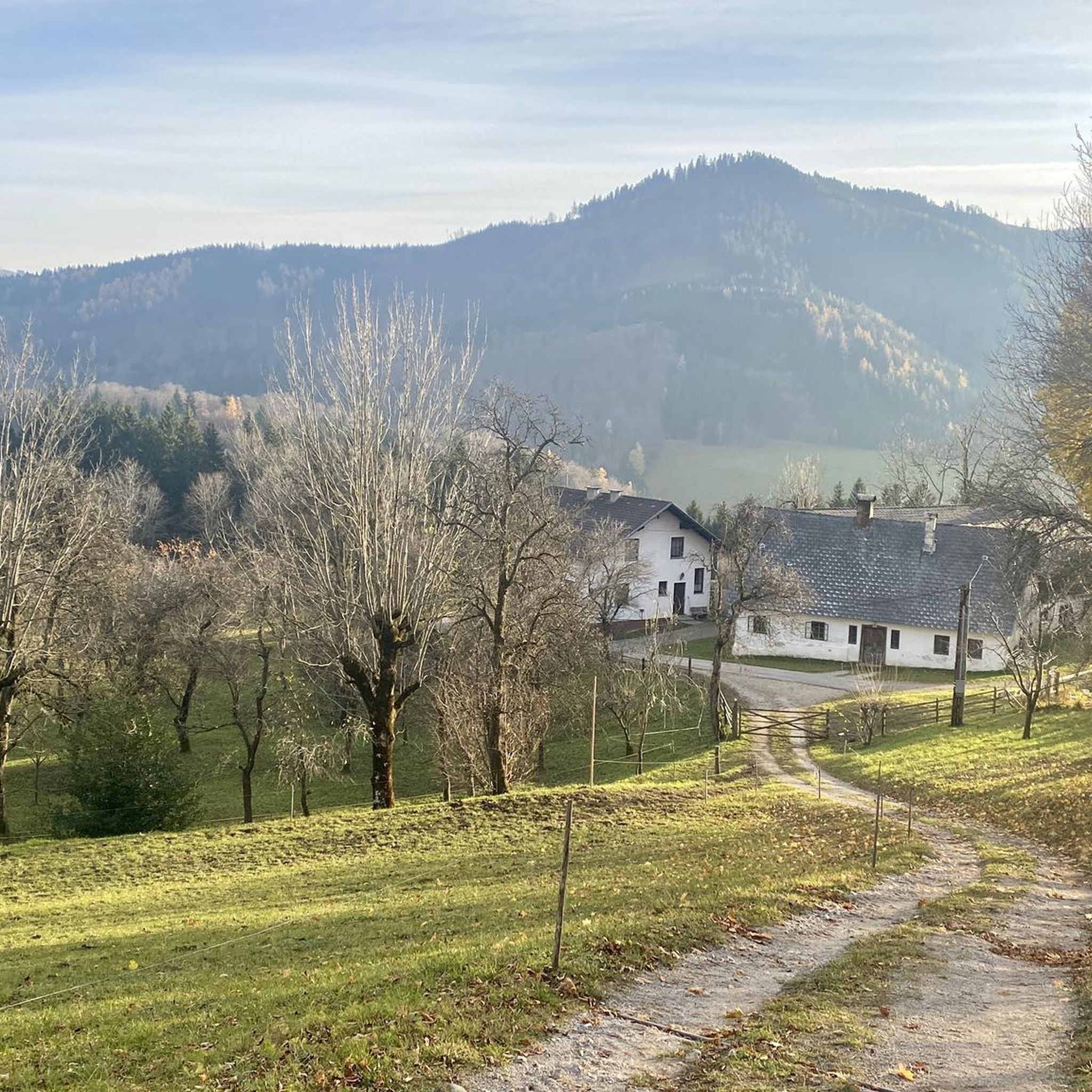
MTB Trails around St. Anton an der Jeßnitz
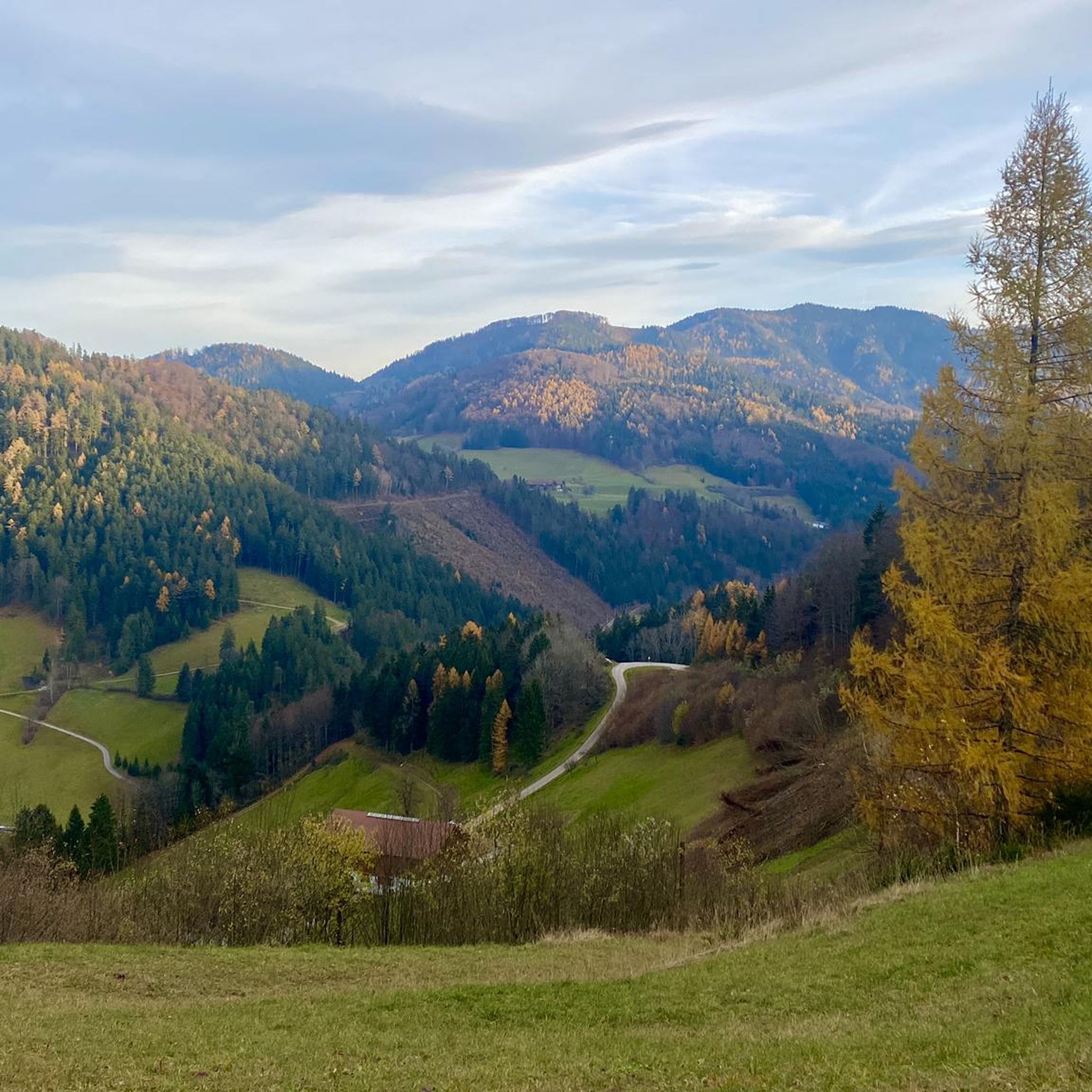
Running Trails around St. Anton an der Jeßnitz
Other adventures around St. Anton an der Jeßnitz


Tips from the Community

Here you can get chilled drinks for a donation and there's a loudly hammering water feature.
0
0

It is one of over a hundred viaducts on the route of this pipeline. The Second Vienna High Spring Water Pipeline is a 183-kilometer-long pipeline built between 1900 and 1910 to bring fresh mountain water from the Hochschwab Massif in Styria to Vienna
3
0

Unfortunately only runs on Sundays from Kienberg - Gaming - Pfaffenschlag
0
0

great view and very nice MTB route
0
0
Magnificent plateau with beautiful views of the Ötscher
0
0

Cool drinks with voluntary donation
1
0

The Nixhöhle near Frankenfels is a 1,410-meter-long stalactite cave that impresses with snow-white mountain milk deposits ("Nix"). It is located about a kilometer outside of the town and is only accessible as part of a guided tour. The cave is easily accessible by bike via the Pielachtal cycle path (Traisental cycle path connection). This leads through the region and allows for a scenic journey. Nearby is the Hausstein mountain farmer's museum, which offers insights into the lives of former mountain farmers and is a good addition to a bike trip. Information on the opening at: https://www.frankenfels.at/die-nixhoehle/?utm_source=chatgpt.com
2
0

Frequently Asked Questions
What kind of terrain can I expect on touring bike routes around St. Anton an der Jeßnitz?
The region offers a diverse landscape for touring cyclists, characterized by varied topography. You'll encounter significant elevation changes, river valleys like the Ybbstal, and plateaus. Routes often feature a mix of challenging ascents and descents, with some gaining over 800 meters. The terrain includes open areas and sections that follow historic railway lines, providing a range of scenic experiences.
Are there any easy touring bike routes suitable for beginners in St. Anton an der Jeßnitz?
Yes, while many routes are challenging, there are options for beginners. The region offers at least two easy touring bike routes. For a moderate option that follows a historic path, consider the Historic Ybbstal Railway – Herminenquelle loop from Katastralgemeinde Grafenmühl, which covers 18.7 km with about 230 meters of ascent.
What are some challenging touring bike routes for experienced cyclists?
St. Anton an der Jeßnitz is well-suited for experienced touring cyclists, with 13 out of 16 routes rated as difficult. A demanding option is the Nix Cave near Frankenfels loop from St. Anton an der Jeßnitz, which spans 30.5 km and features over 830 meters of elevation gain. Another challenging ride is the Seestein drinking fountain – Klammergraben loop from St. Anton an der Jeßnitz, covering 35.7 km with over 750 meters of ascent.
Are there any circular touring bike routes in the area?
Many of the touring bike routes around St. Anton an der Jeßnitz are designed as loops, allowing you to start and finish at the same point. Examples include the challenging Lueggraben – Töpperschloss Neubruck loop from Katastralgemeinde Grafenmühl and the scenic Schlagerboden Plateau – Blassenstein Car Park loop from Schloss Neubruck.
What can I see along the touring cycling routes in St. Anton an der Jeßnitz?
Beyond the natural beauty, you can explore several points of interest. The region is home to numerous castles, such as Plankenstein Castle, Purgstall Castle, and Burgarena Reinsberg. Some routes also pass by features like the historic Ybbstal Railway or the Nix Cave.
What do other touring cyclists enjoy most about cycling in St. Anton an der Jeßnitz?
The area is highly rated by the komoot community, with an average score of 4.6 stars from over 300 reviews. Reviewers often praise the varied terrain, the mix of challenging climbs and scenic descents, and the opportunity to explore both natural landscapes and historic sites like the Ybbstal valley.
Are there any specific attractions or landmarks to look out for?
Yes, the region is rich in historical sites. You can find several castles, including Kirnberg Castle. For those interested in cycling-specific attractions, there are also various bike parks and trails like the Castle Trail and Trail Zone Skill Area nearby.
How many touring cycling routes are available in St. Anton an der Jeßnitz?
There are 16 touring cycling routes available around St. Anton an der Jeßnitz, catering to various skill levels from easy to difficult. This network provides ample opportunities to explore the region's diverse landscapes.
What is the best season for touring bike trails in St. Anton an der Jeßnitz?
While specific seasonal data isn't provided, the varied topography and potential for elevation changes suggest that spring, summer, and early autumn would generally be the most pleasant seasons for touring cycling. These months typically offer more stable weather conditions and milder temperatures, making the ascents and descents more enjoyable.
Are there any long-distance touring bike routes in the area?
While the provided routes are primarily day tours, some are quite substantial. For example, the Seestein drinking fountain – Klammergraben loop from St. Anton an der Jeßnitz covers 35.7 km, offering a longer ride for those looking to spend more time on the saddle and explore further into the region's hilly terrain.
Most popular routes around St. Anton an der Jeßnitz
Most popular attractions around St. Anton an der Jeßnitz

Get inspired with the komoot mobile app


Explore more
Browse the best Cycling routes in other regions.
