The best walks and hikes around Standenbühl
4.6
(8730)
31,899
hikers
771
hikes
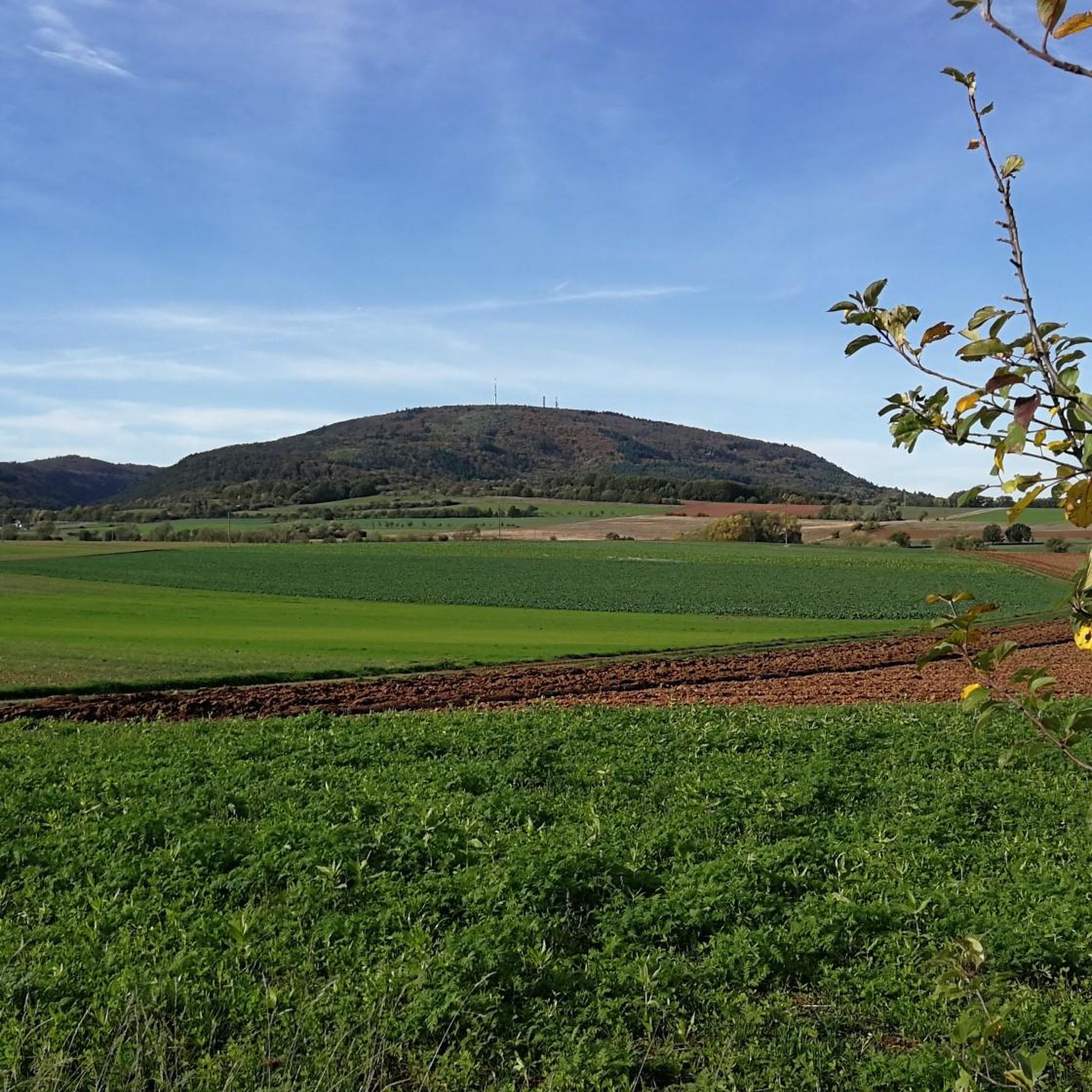
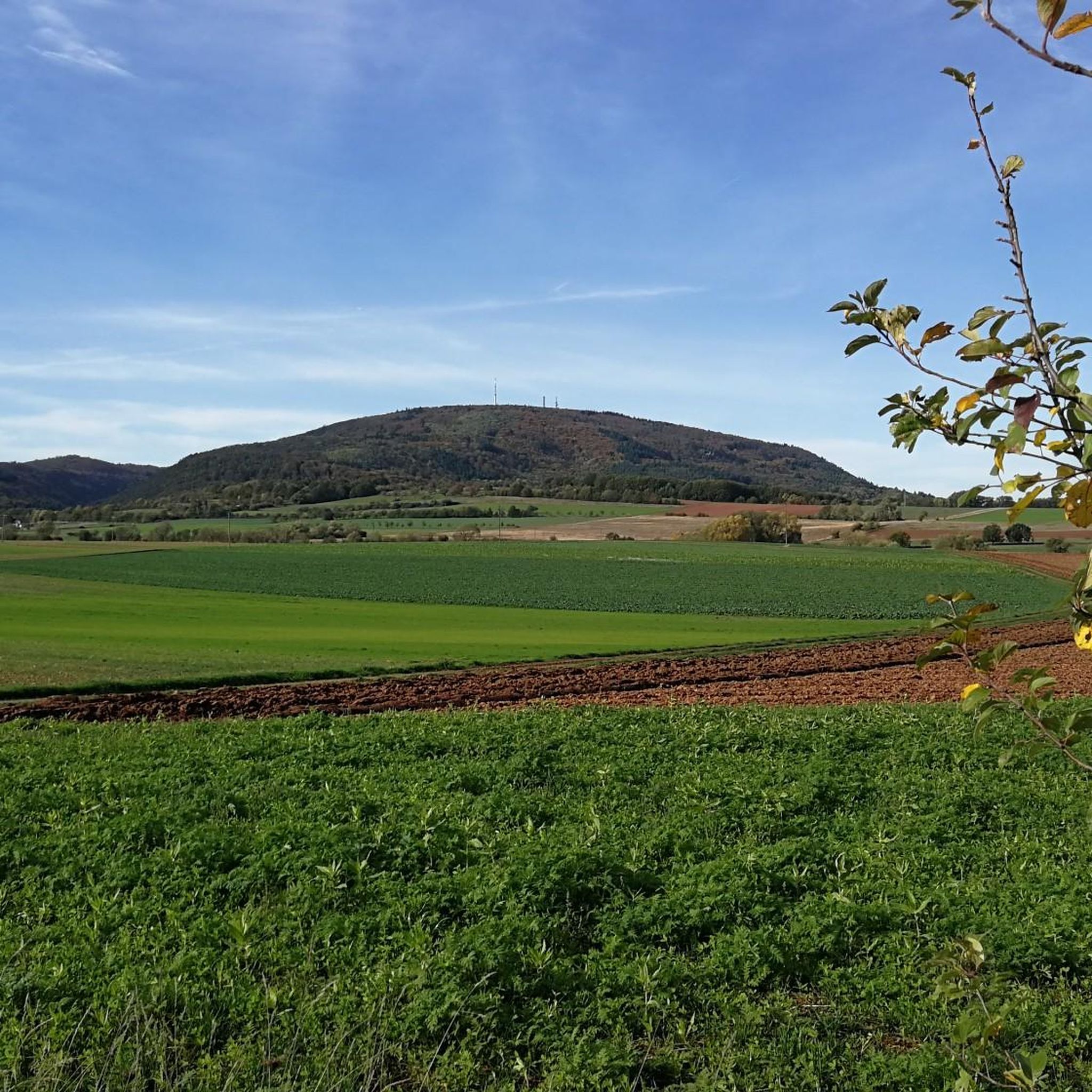
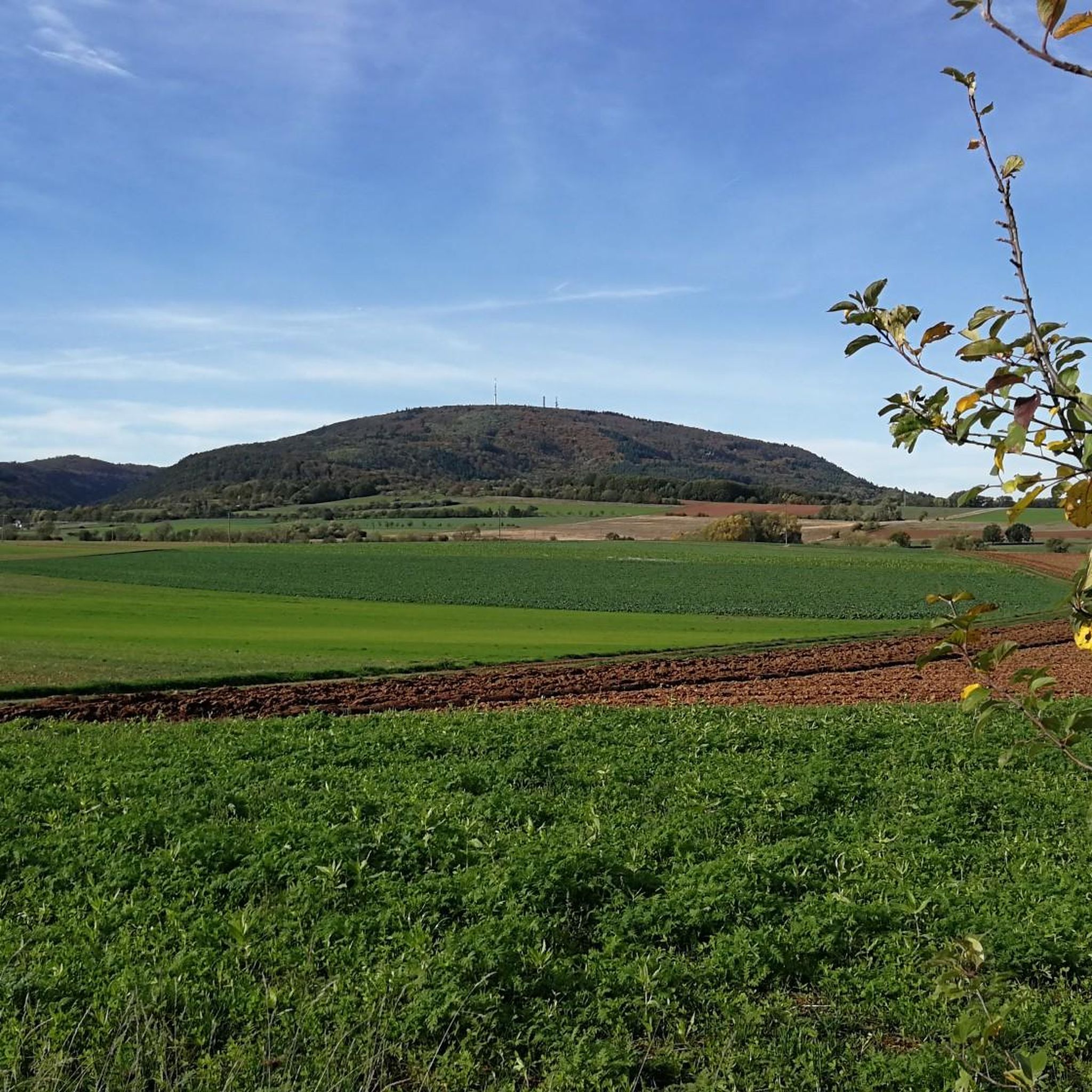
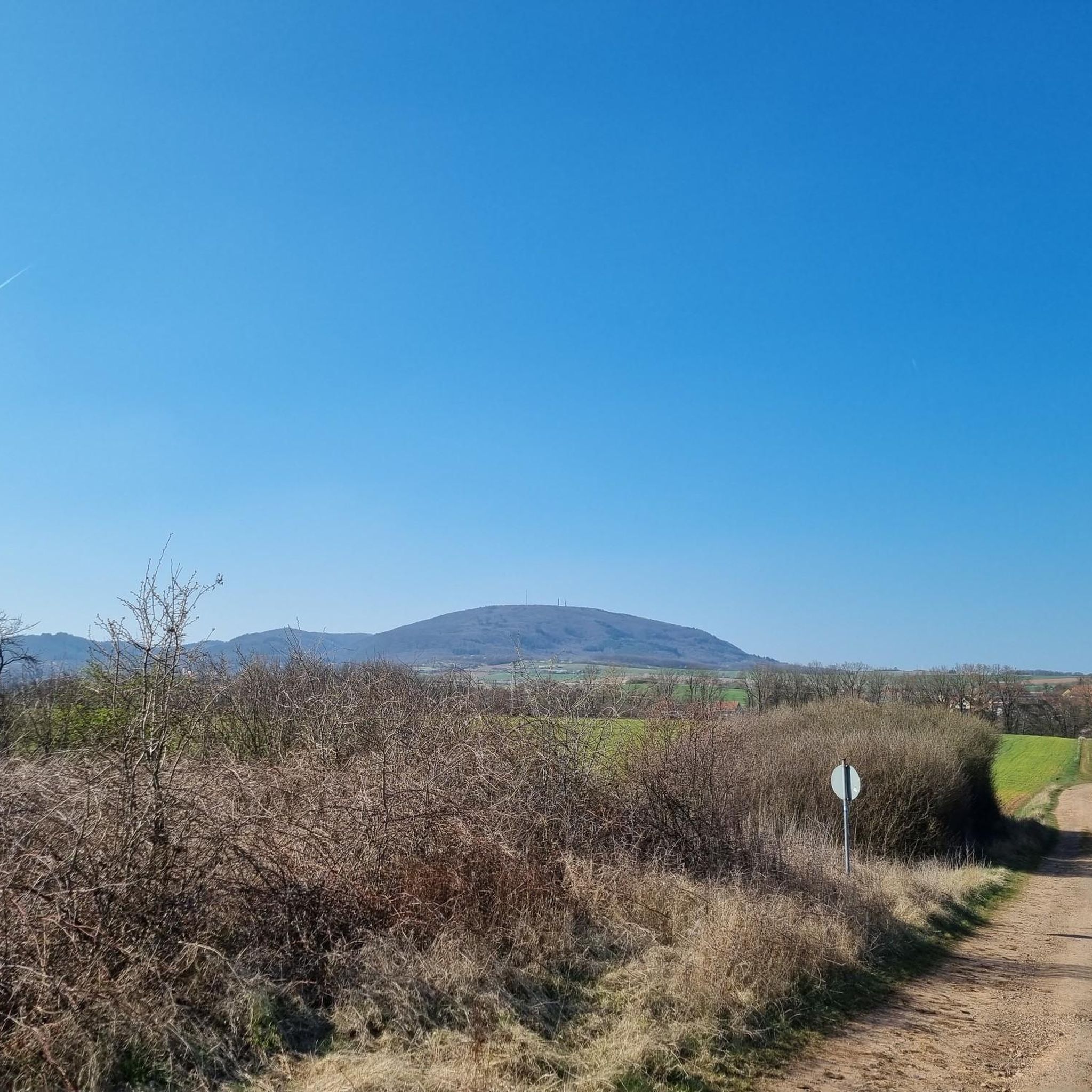
Hiking around Standenbühl offers access to diverse landscapes at the foot of the Donnersberg, the highest mountain in the Palatinate region. The terrain features rolling hills, extensive vineyards, and geological formations of volcanic rock. This region provides a variety of hiking experiences, from vineyard strolls to climbs on the Donnersberg.
Best hiking trails around Standenbühl
- The most popular hiking route is Hirtenfels Viewpoint – View of the Palatinate Forest loop from Jakobsweiler, a 4.7 miles (7.6 km) trail that…
Last updated: July 8, 2026
4.7
(367)
1,248
hikers
Moderate hike. Good fitness required. Easily-accessible paths. Suitable for all skill levels.
4.8
(49)
200
hikers
12.7km
03:38
290m
290m
Moderate hike. Good fitness required. Easily-accessible paths. Suitable for all skill levels.

Sign up for free
4.5
(34)
116
hikers
Hard hike. Good fitness required. Sure-footedness, sturdy shoes and alpine experience required.
4.8
(13)
56
hikers
15.8km
04:33
370m
370m
Moderate hike. Good fitness required. Mostly accessible paths. Sure-footedness required.
4.6
(9)
48
hikers
Easy hike. Great for any fitness level. Easily-accessible paths. Suitable for all skill levels.
Get access to more routes and recommendations from other explorers.
Sign up for free
Already have an account?
Our route recommendations are based on thousands of hikes, rides, and runs completed by other people on komoot.
Start today with a free account
Your next adventure awaits.
Login or Signup

Tips from the Community

great map and next to it a great restaurant
0
0

Interesting sculpture trail directly along the old Celtic wall
0
0
great climb to the Donnersberg
0
0

Fantastic views from the heights across the vast landscape
7
0

Located slightly above the path, but with plenty of space
1
0
A truly beautiful facility, even in winter.
1
0

Beautifully situated on a hill, but without wind or shade protection.
1
0
Frequently Asked Questions
How many hiking trails are available around Standenbühl?
There are over 750 hiking routes around Standenbühl, catering to various skill levels. You'll find a wide selection, from easy strolls through vineyards to more challenging climbs on the Donnersberg.
What kind of terrain can I expect on hikes near Standenbühl?
The terrain around Standenbühl is characterized by rolling hills, extensive vineyards, and unique geological formations, particularly volcanic rock from the Donnersberg. You can expect a mix of forest paths, open fields, and vineyard trails, with varying elevation changes.
Are there any family-friendly hiking options in Standenbühl?
Yes, Standenbühl offers numerous easy and moderate trails suitable for families. With over 450 easy routes, you can find paths that are less strenuous and shorter in duration, perfect for a leisurely outing with children. Look for routes that explore the vineyards or offer gentle ascents.
Can I bring my dog on the hiking trails around Standenbühl?
Many trails around Standenbühl are dog-friendly, allowing you to enjoy the beautiful Palatinate landscape with your canine companion. It's always a good idea to keep your dog on a leash, especially in nature reserves, near livestock, or in areas with wildlife. Remember to bring water for both yourself and your dog.
What are some notable viewpoints or landmarks to see while hiking?
The region offers several stunning viewpoints. The Hirtenfels Viewpoint provides great views of the Palatinate Forest. The Königsstuhl, the summit of the Donnersberg, offers panoramic vistas. You might also encounter the Kupferberg Hut, a popular stop for hikers.
Are there any circular hiking routes near Standenbühl?
Yes, many of the trails around Standenbühl are designed as loops, offering convenient circular routes. For example, the moderate Hirtenfels Viewpoint – View of the Palatinate Forest loop from Jakobsweiler is a popular choice, taking about 2.5 hours to complete.
What is the best time of year to go hiking in Standenbühl?
Standenbühl is ideal for hiking year-round. Spring brings colorful flower meadows, while summer offers perfect conditions for longer treks. Autumn is particularly appealing with grape-laden vineyards and vibrant fall foliage, making it a great time to experience the region's wine culture. Even winter can offer unique, crisp hiking experiences.
Are there any challenging hikes for experienced trekkers?
Yes, for experienced hikers seeking a challenge, there are difficult routes available. The Kupferberg Hut – View of Imsbach loop from Steinbach am Donnersberg is an 18.7 km difficult trail with significant elevation changes, typically taking over 5 hours to complete.
What do other hikers say about the trails in Standenbühl?
The hiking routes in Standenbühl are highly regarded by the komoot community, holding an average rating of 4.6 stars from nearly 8,000 reviews. Hikers often praise the diverse landscapes, well-maintained paths, and the stunning views, especially from the Donnersberg area.
Are there any routes that pass by huts or places to rest?
Yes, several routes incorporate huts or pavilions where you can take a break. The Albisheimer Hut Pavilion – Gerbach Stream Dam loop from Jakobsweiler is a moderate trail that passes by a hut, offering a convenient resting spot during your hike.
Are there any trails that explore the unique rock formations of the Donnersberg?
Absolutely. The geological formation around Donnersberg, with its volcanic rock, creates unique landscapes. The Saufels rock formation – Iron Man at Beutelfels loop from Steinbach am Donnersberg is a moderate route that allows you to explore some of these distinctive rock features.
What is the highest point I can reach on a hike near Standenbühl?
The highest point you can reach is the Königsstuhl, the summit of the Donnersberg, which stands at 687 meters. Various hiking trails lead to this peak, offering a rewarding sense of accomplishment and expansive views over the Palatinate region.
Most popular attractions around Standenbühl

Get inspired with the komoot mobile app


Explore more
Browse the best Hikes in other regions.
