The best road cycling routes around Stanau
4.4
(161)
2,421
riders
135
rides
Road cycling around Stanau, a village in Thuringia, Germany, offers diverse terrain within the Saale-Orla-Kreis district. The region is characterized by a high plateau depression, surrounded by meadows, fields, and forests. Cyclists encounter rolling hills, dense forests, and river valleys formed by the Saale and Orla rivers, providing a mix of challenging ascents and gentler routes. The landscape also features reservoirs, known as the "Thuringian Sea," and the "Land of a Thousand Ponds," which contribute to varied cycling environments.
Best…
Last updated: June 29, 2026
4.4
(9)
264
riders
65.9km
03:03
800m
800m
Moderate road ride. Good fitness required. Mostly well-paved surfaces and easy to ride.
5.0
(2)
86
riders
80.0km
03:18
520m
520m
Moderate road ride. Good fitness required. Mostly well-paved surfaces and easy to ride.

Sign up for free
4.7
(14)
19
riders
40.5km
01:49
430m
430m
Moderate road ride. Good fitness required. Mostly well-paved surfaces and easy to ride.
9
riders
39.9km
01:44
290m
290m
Moderate road ride. Great for any fitness level. Some segments of this route may be unpaved and difficult to ride.
8
riders
Moderate road ride. Good fitness required. Some segments of this route may be unpaved and difficult to ride.
Get access to more routes and recommendations from other explorers.
Sign up for free
Already have an account?
Our route recommendations are based on thousands of hikes, rides, and runs completed by other people on komoot.
Start today with a free account
Your next adventure awaits.
Login or Signup
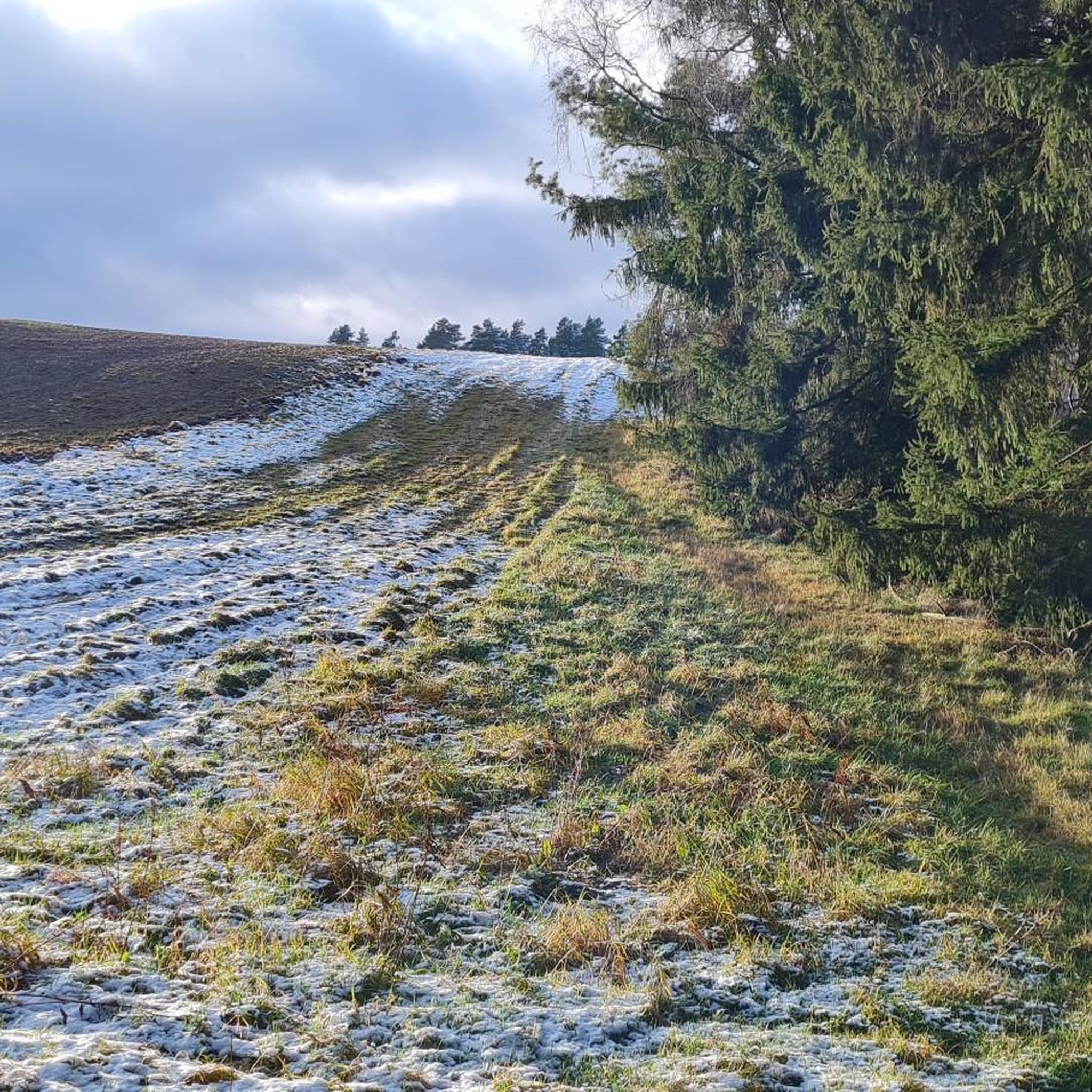
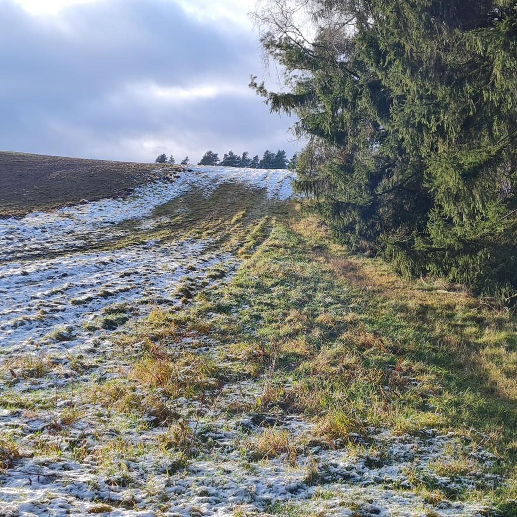
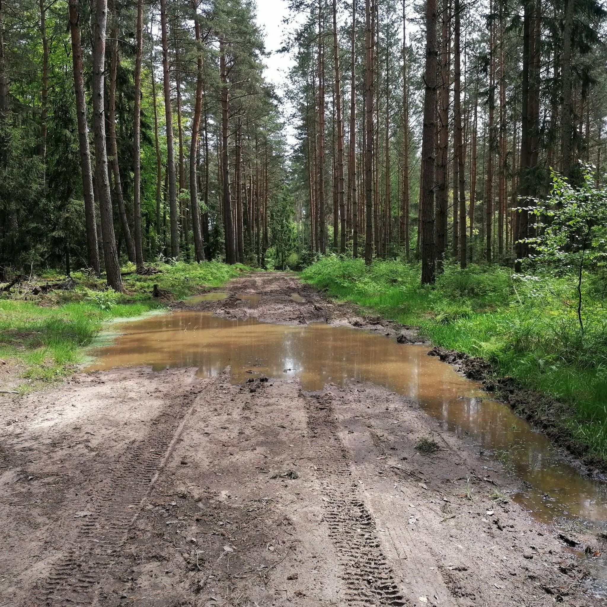
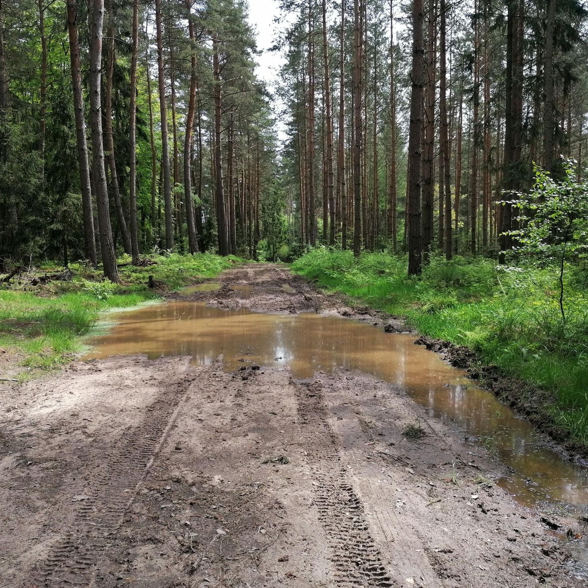
Tips from the Community


I hope that the renovation will also continue and the park will be made beautiful again.
0
0

The church, which has been rebuilt several times, is of Romanesque origin.
0
0

As in many places, there is also a fantastic view down into the valley here.
0
0

The Meuschkensmühle is a lovingly restored mill in the heart of the Mühltal valley, surrounded by forest, water, and hiking trails. Once a working mill, it is now a cozy destination with a restaurant, petting zoo, and riding stables.
12
0

A hall church, Romanesque in its core, dating from the 13th century. Rebuilt around 1700. The choir tower features a half-timbered bell tower, a spire, and a lantern.
0
0

Be careful, this place is deserted. It's a testament to real tourism in the past...
0
0

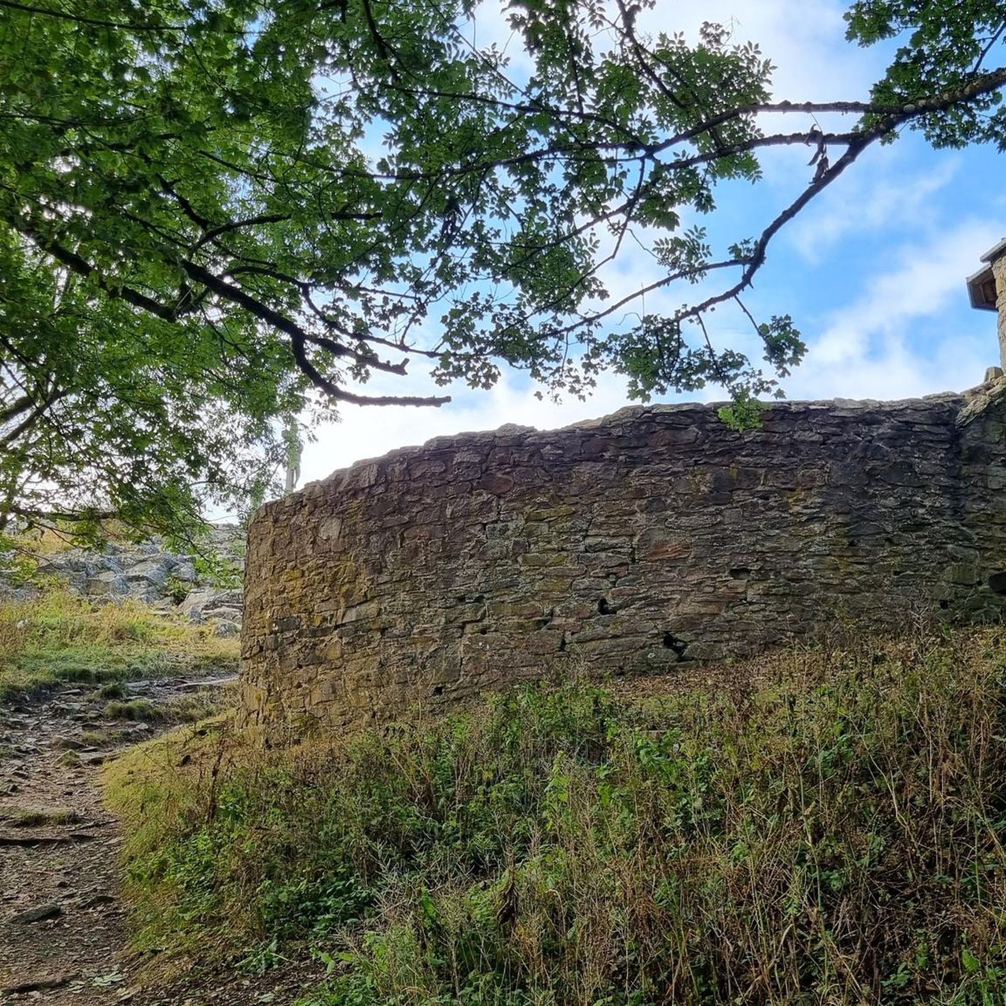
Definitely worth a detour if you're in the area. On our checkpoint tour, we had to climb up to the castle after 200 km, which was quite a challenge. Highly recommended!
0
0
Frequently Asked Questions
What kind of terrain can I expect for road cycling around Stanau?
The region around Stanau, located in the Saale-Orla-Kreis district of Thuringia, offers a varied landscape for road cyclists. You'll encounter rolling hills, dense forests, and scenic river valleys formed by the Saale and Orla rivers. This diverse topography provides a mix of challenging ascents and descents, as well as more gentle, flatter sections, catering to different fitness levels.
Are there road cycling routes suitable for beginners or those looking for an easier ride?
Yes, Stanau offers options for all skill levels. While many routes feature rolling hills, there are 16 easy road cycling routes available. These routes typically have less elevation gain and are shorter in distance, providing a more relaxed experience for beginners or those preferring a gentler ride.
What are some notable landmarks or scenic points I can see while road cycling near Stanau?
Road cycling routes around Stanau often pass by significant natural and historical landmarks. You can enjoy views of the Saale Valley, explore areas around the "Thuringian Sea" reservoirs, or encounter historical sites like Leuchtenburg Castle. Other highlights include the Skywalk Wishing Walk (Leuchtenburg) and various castles such as Oppurg Castle.
Are there any challenging road cycling routes for experienced riders?
Absolutely. For experienced road cyclists seeking a challenge, Stanau and the wider Saale-Orla-Kreis region offer 30 difficult routes. These typically feature significant elevation changes and longer distances, providing a demanding and rewarding cycling experience through the hilly terrain and forests of Thuringia.
What do other road cyclists think about the routes in Stanau?
The road cycling routes in Stanau are highly regarded by the komoot community, holding an impressive average rating of 4.4 stars from over 160 reviews. Cyclists often praise the varied terrain, scenic views, and the mix of challenging and gentle sections that make the region appealing for diverse riding preferences.
Can I find long-distance road cycling routes around Stanau?
Yes, the region provides several options for longer road cycling tours. For example, the Köstritzer Schwarzbier Brewery – Meuschkens Mill loop from Pillingsdorf is a moderate 80 km (49.7 miles) path, offering an extended ride through rural scenery. Many routes extend into the broader Thuringian network, including sections of the Orla Cycle Path and Saale Cycle Route, which are known for their length.
Are there circular road cycling routes available in the Stanau area?
Many of the road cycling routes around Stanau are designed as loops, allowing you to start and finish at the same point. Examples include the View of the Saale Valley – Leuchtenburg loop from Trockenborn-Wolfersdorf and the Rothehofstal Lake – Wolfersdorf Castle loop from Tröbnitz, providing convenient options for exploring the area.
What is the best time of year for road cycling in Stanau?
The best time for road cycling in Stanau, and Thuringia generally, is typically from spring through autumn. During these seasons, the weather is more favorable, with milder temperatures and less precipitation, making for more enjoyable rides through the region's meadows, forests, and river valleys. Winter cycling can be challenging due to colder temperatures and potential snow or ice.
Are there any specific river valleys or natural features that road cyclists should look out for?
Road cyclists in the Stanau area can explore the picturesque river valleys of the Orla and Saale rivers. The region is also home to the "Thuringian Sea," formed by the Hohenwarte and Bleiloch reservoirs, which offers a unique fjord-like landscape with wide expanses of water. Additionally, the "Land of a Thousand Ponds" provides tranquil natural scenery.
Can I find cafes or places to stop for refreshments along the road cycling routes?
While Stanau itself is a small village, the wider region, including nearby towns like Neustadt an der Orla and Pößneck, offers various cafes, pubs, and restaurants where cyclists can stop for refreshments. Many routes are designed to pass through or near these towns, providing opportunities for breaks and meals.
What are the options for parking when road cycling around Stanau?
For road cycling routes starting near Stanau, parking is generally available in the surrounding villages and towns. Many routes originate from places like Trockenborn-Wolfersdorf, Pillingsdorf, or Tröbnitz, where you can typically find suitable parking facilities to begin your ride. It's advisable to check specific starting points for detailed parking information.
Are there any waterfalls or gorges accessible from the road cycling routes?
While road cycling routes primarily focus on paved roads, some natural attractions like gorges are nearby. The Zeitzgrund Valley and Warnsdorfgrund Valley are notable gorges in the vicinity. You might also find the Amselfall near Stadtroda and Dorna, a waterfall, which could be a short detour from some routes.
What is the general elevation profile for road cycling in the Saale-Orla-Kreis district?
The Saale-Orla-Kreis district, where Stanau is located, is characterized by a high plateau depression with rolling hills. This means road cyclists can expect a varied elevation profile, including both gradual climbs and descents, as well as some steeper sections, particularly when traversing through forested areas and river valleys. The terrain offers a good mix for both endurance and scenic riding.
Most popular attractions around Stanau

Get inspired with the komoot mobile app


Explore more
Browse the best Road cycling routes in other regions.
