The best walks and hikes around Bonolva/Bonorva
4.7
(37)
146
hikers
14
hikes
Hiking around Bonolva/Bonorva offers access to a unique landscape shaped by ancient volcanic activity. The region features distinctive conical hills, fertile valleys, and natural springs. Archaeological sites, including numerous nuraghi, are integrated into the natural environment, providing historical context to many trails. This varied terrain provides diverse hiking experiences.
Best hiking trails around Bonolva/Bonorva
- The most popular hiking route is View of the Landscape – Santu Franziscu Picnic Area loop from Passo Ucc'Aidu, a 5.7 miles (9.1 km) trail…
Last updated: June 24, 2026
4.5
(11)
45
hikers
Moderate hike. Good fitness required. Easily-accessible paths. Suitable for all skill levels.
4.7
(7)
39
hikers
Moderate hike. Good fitness required. Easily-accessible paths. Suitable for all skill levels.

Sign up for free
4.5
(4)
11
hikers
6.66km
01:56
160m
160m
Easy hike. Great for any fitness level. Easily-accessible paths. Suitable for all skill levels.
4.0
(1)
8
hikers
3.11km
01:00
150m
150m
Easy hike. Great for any fitness level. Easily-accessible paths. Suitable for all skill levels.
4.8
(4)
12
hikers
Moderate hike. Good fitness required. Easily-accessible paths. Suitable for all skill levels.
Get access to more routes and recommendations from other explorers.
Sign up for free
Already have an account?
Our route recommendations are based on thousands of hikes, rides, and runs completed by other people on komoot.
Start today with a free account
Your next adventure awaits.
Login or Signup

Tips from the Community

Here the Riu Ilde rushes and gurgles wonderfully.
1
0
A short walk through the wonderfully green forest leads to this pretty waterfall. It gurgles and splashes wonderfully. The Riu Ilde is relatively easy to cross at a slightly higher elevation, allowing you to get even closer to the waterfall.
1
0
Beautiful picnic area in the beautiful forest
0
0
In good weather you have a wonderful panoramic view from the lookout rock.
1
0
Punta Palai is 1,195 meters high. You can still climb the rock and enjoy the view in good weather. It's a wonderfully quiet and peaceful place.
1
1
A hike to Punta Palai is highly worthwhile. In good weather, the views are spectacular.
1
0
If you want to go to Parco Parbude and drive more than 2.5 tons, you will find a great parking space here, also suitable for large motorhomes.
1
0
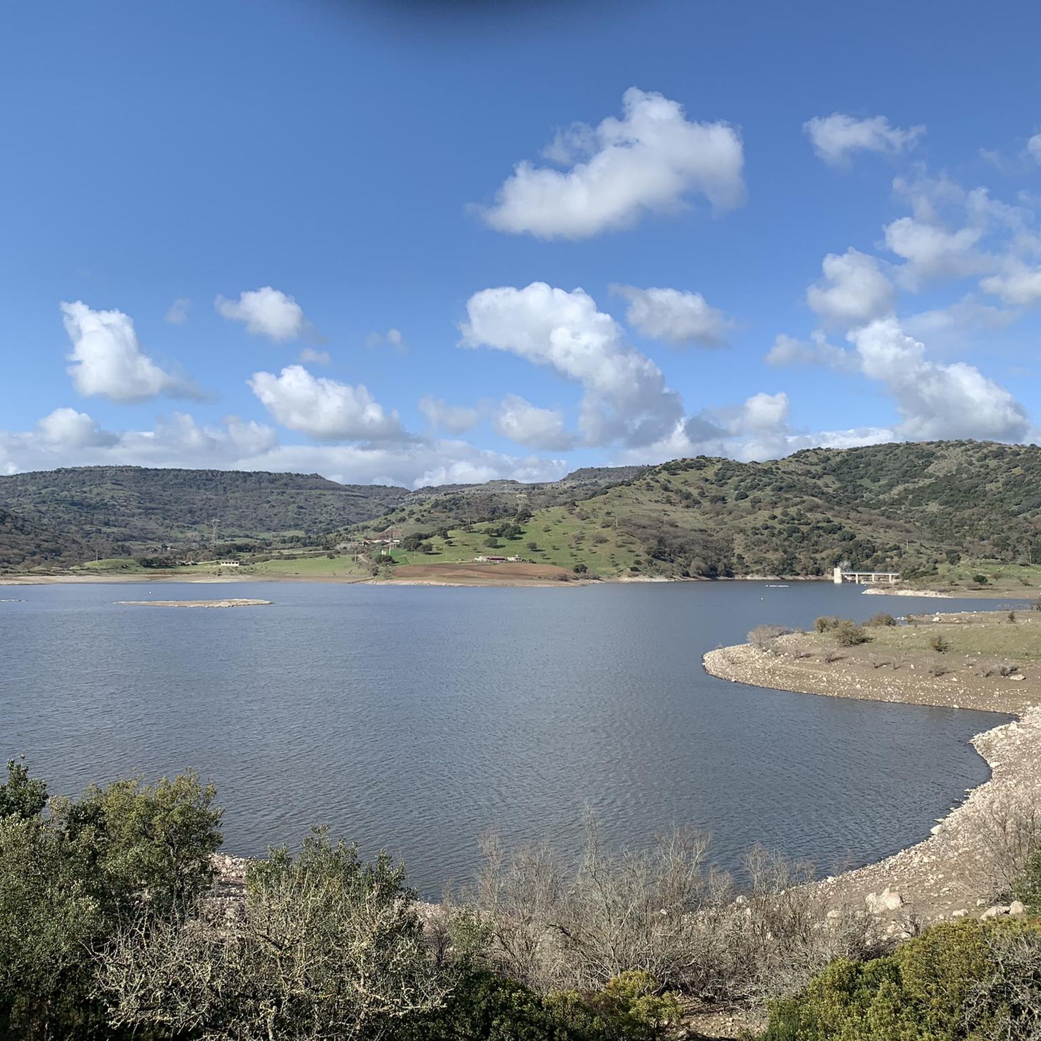
From here you have a very beautiful view of the landscape.
0
0
Frequently Asked Questions
How many hiking trails are available in Bonolva/Bonorva, and what are their difficulty levels?
There are over 10 hiking trails around Bonolva/Bonorva. The routes are evenly split between easy and moderate difficulty, with 6 easy trails and 6 moderate trails, making the area accessible for various fitness levels.
What kind of natural landscapes can I expect to see while hiking in Bonolva/Bonorva?
Bonolva/Bonorva is characterized by its unique volcanic landscapes, featuring distinctive conical hills, ancient lava flows, and fertile valleys. You'll encounter prominent hills like Monte Santu and Monte Pelau, and can explore areas shaped by solidified magma such as Pedra Mendalza. The region is often called the 'Sardinian Auvergne' due to its volcanic morphology.
Are there any trails that feature waterfalls or natural springs?
Yes, several trails incorporate these natural features. For example, the Punta Palai – Riu Ilde Waterfall loop from Parco Pabude is a moderate path that traverses varied terrain to a waterfall. Another option is the Riu Ilde Waterfall – Punta Palai loop from Sorgente di Su Passiale, which explores natural springs and volcanic features. You can also discover the serene Natural Springs of San Saturnino in the area.
Can I find family-friendly hiking routes in Bonolva/Bonorva?
Yes, with 6 easy trails available, Bonolva/Bonorva offers several options suitable for families. These routes typically have less elevation gain and shorter distances, providing a pleasant outdoor experience for all ages. The diverse terrain ensures there's always something interesting to see.
Are there any circular hiking routes available?
Many of the trails in Bonolva/Bonorva are designed as loops, offering varied scenery without retracing your steps. A popular example is the View of the Landscape – Santu Franziscu Picnic Area loop from Passo Ucc'Aidu, which provides panoramic views of the volcanic landscape.
What archaeological sites can be explored on foot around Bonolva/Bonorva?
The region is rich in ancient archaeological sites, often integrated into the natural landscapes. You can hike to impressive Nuragic structures like the Nuraghe Santu Antine di Torralba, one of Sardinia's largest nuraghe towers. Other significant sites include the Domus de Janas of Sant'Andrea Priu, an extensive underground burial site, and the Sacred Spring of Su Lumarzu.
What do other hikers say about the trails in Bonolva/Bonorva?
The routes in Bonolva/Bonorva are highly rated by the komoot community, with an average score of 4.7 stars from more than 30 reviews. Hikers often praise the unique volcanic terrain, the blend of natural beauty with historical sites, and the well-maintained paths that offer diverse experiences.
Are there any specific trails recommended for beginners?
Beginners can enjoy the 6 easy-rated trails in the area. An excellent option is the Mularza Noa Waterfall – Riu Ilde Waterfall loop from Ortachis Circoli Megalitici Stone Circle, which is 6.7 km long and offers a gentle introduction to the region's natural beauty.
What is the best time of year to go hiking in Bonolva/Bonorva?
The volcanic soils of Meilogu are fertile, contributing to lush pastures and varied vegetation. Autumn and winter can be particularly interesting, especially around Mount Annaru in Giave, where a small lake forms within an almost intact volcanic crater, offering unique scenery for hikers.
Are there any notable viewpoints or summits to reach on a hike?
Yes, the volcanic landscape offers several elevated points with great views. Punta Palai is a prominent summit in the area that can be reached via hiking trails, offering panoramic vistas of the surrounding region.
What other attractions are near Bonolva/Bonorva that I can combine with a hike?
Beyond the trails, you can explore the Rebeccu Medieval Village for a glimpse into local history. The nearby town of Macomer is also accessible and offers additional points of interest. The entire Meilogu region is rich in Nuragic and pre-Nuragic sites, providing a deep dive into Sardinia's ancient past.
Most popular attractions around Bonolva/Bonorva

Get inspired with the komoot mobile app


Explore more
Browse the best Hikes in other regions.
