The best running trails around Nughedu Santu Nigola/Nughedu San Nicolò
36
runners
5
runs
Jogging around Nughedu Santu Nigola/Nughedu San Nicolò offers varied terrain in the Monteacuto region of Sardinia. The area is characterized by rolling, hilly landscapes and lush vegetation, providing diverse environments for runners. Situated at an elevation of nearly 600 meters, the town is surrounded by a valley with more pronounced features, ensuring routes range from moderate ascents to challenging climbs. This topography allows for different intensity levels and training opportunities.
Best jogging routes around Nughedu Santu Nigola/Nughedu San Nicolò
- The…
Last updated: July 4, 2026
22
runners
21.4km
03:04
1,130m
1,140m
Hard run. Very good fitness required. Mostly paved surfaces. Suitable for all skill levels.
11
runners
10.8km
01:16
190m
190m
Moderate run. Good fitness required. Mostly paved surfaces. Suitable for all skill levels.

Sign up for free
6
runners
8.59km
00:59
150m
150m
Moderate run. Good fitness required. Mostly paved surfaces. Suitable for all skill levels.
5
runners
39.4km
05:26
1,840m
1,840m
Hard run. Very good fitness required. Mostly paved surfaces. Suitable for all skill levels.
3
runners
24.1km
02:34
320m
320m
Hard run. Very good fitness required. Mostly paved surfaces. Suitable for all skill levels.
Our route recommendations are based on thousands of hikes, rides, and runs completed by other people on komoot.
Start today with a free account
Your next adventure awaits.
Login or Signup

Tips from the Community

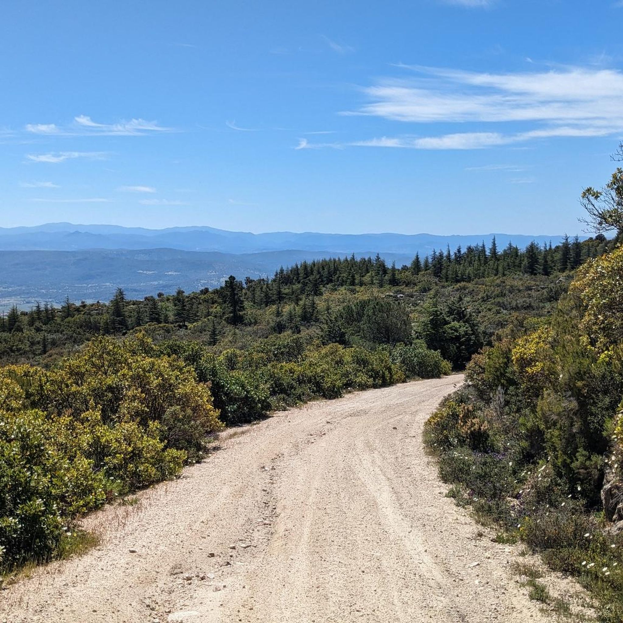
This small town in northern Sardinia is known above all for the production of switchblade knives, composed of a steel blade and mouflon horn handle. The municipality is also among the highest in the area, as it is located at an altitude of 900 meters above sea level.
1
0

Located at 900 meters above sea level, Pattada is the 'highest' center in northern Sardinia. The town is known above all for the famous switchblade knives with steel blade and mouflon horn handle: the "resolza pattadesa".
1
0
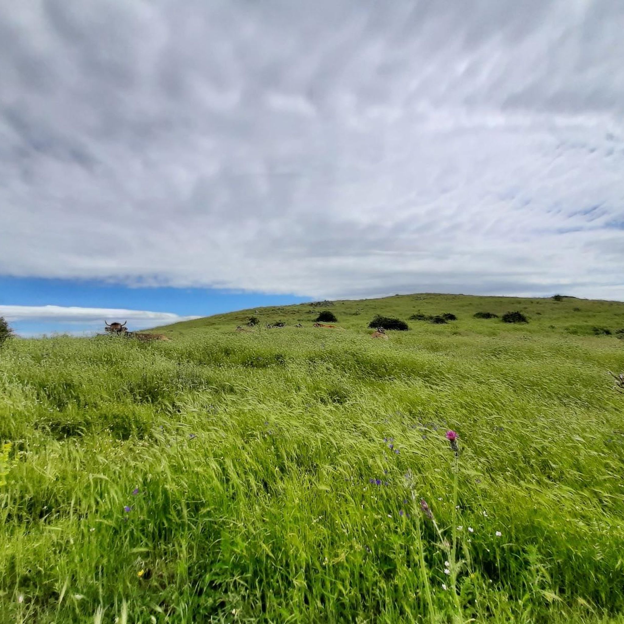
Ozieri is surrounded by lush vegetation, which surrounds the village like an amphitheater. The village is made up of a network of streets and stairways, which open onto countless small squares and courtyards, with beautiful views of the valley.
0
0
The Riu sos Vanzos forms two lakes at an altitude of 780 m. An ideal place for a cool break.
0
0
Frequently Asked Questions
How challenging are the running routes in Nughedu Santu Nigola/Nughedu San Nicolò?
The region offers a mix of running experiences. You'll find routes with significant elevation changes, perfect for a challenging workout. For example, the Le Rocce loop from Patada/Pattada is a difficult trail with over 1100 meters of ascent. There are also moderate options, such as the Grotta di San Michele loop from Otieri/Ozieri, which provides a balanced experience through natural surroundings.
Are there running routes with great views in the area?
Absolutely. The elevated position and hilly terrain of Nughedu Santu Nigola/Nughedu San Nicolò mean many routes offer panoramic vistas. The ascent from Bultei to San Nicolei, for instance, features switchbacks and delivers great views of the Gennargentu mountains and Monte Albo. Jogging around Ozieri also provides beautiful views of the valley, blending urban and natural scenery.
What kind of terrain can I expect on the jogging routes?
The terrain is quite varied, reflecting the region's diverse topography. You'll encounter rolling, hilly landscapes, with both natural paths and paved sections. The area is characterized by lush vegetation, especially around Ozieri, offering a pleasant and oxygen-rich environment for your run. Some routes, like the Scenic Road Between Pattada and Oschiri, are described as a "beautiful up and down road," indicating undulating surfaces.
Are there family-friendly jogging routes in Nughedu Santu Nigola?
While many routes in the region involve significant elevation, the moderate Grotta di San Michele loop from Otieri/Ozieri could be a suitable option for families looking for a less strenuous run. It's a 10.6 km path with a more manageable elevation gain, offering a balanced experience through natural surroundings.
Can I bring my dog on the running trails?
Generally, dogs are welcome on most outdoor trails in Sardinia, provided they are kept under control, ideally on a leash, and you clean up after them. It's always a good idea to check local signage at trailheads for any specific restrictions, especially in protected areas, but for general jogging routes, it should be fine.
Are there circular running routes available?
Yes, all the highly-rated running routes in this guide are circular. You can explore options like the challenging Le Rocce loop from Patada/Pattada, the moderate Grotta di San Michele loop from Otieri/Ozieri, or the extensive Historic Center of Ozieri loop from Otieri/Ozieri, all designed as loops for convenient starting and ending points.
Is parking available near the jogging routes?
While specific parking information for each trailhead isn't always detailed, routes often start and end near towns like Pattada or Ozieri, where public parking is typically available. For routes originating directly from Nughedu Santu Nigola, you can usually find street parking within the village.
What interesting places can I see while jogging in the region?
The area is rich in natural beauty and historical sites. You might pass through charming towns like Pattada or the Historic Center of Ozieri. The Ascent from Bultei to San Nicolei offers stunning mountain views, and the Scenic Road Between Pattada and Oschiri is a beautiful stretch of road to explore.
Are there any routes with fresh water sources?
Yes, the Scenic Road Between Pattada and Oschiri is noted to include a fresh water source, which is ideal for longer jogs where hydration is key. It's always advisable to carry sufficient water, but knowing about natural refill points can be very helpful.
What is the best time of year for jogging in Nughedu Santu Nigola?
Given its elevated position and generally mild Mediterranean climate, spring (April-June) and autumn (September-October) are typically the most pleasant seasons for jogging. The temperatures are moderate, and the landscape is vibrant. Summers can be warm, especially at lower elevations, while winters are cooler but generally still suitable for running, though some higher paths might be affected by weather.
Are permits required for jogging on trails in this part of Sardinia?
For general jogging on the trails and roads around Nughedu Santu Nigola/Nughedu San Nicolò, permits are typically not required. These are public access areas. However, if you plan to enter any specific nature reserves or private lands, it's always best to check for any local regulations or signage.
Most popular routes around Nughedu Santu Nigola/Nughedu San Nicolò
Most popular attractions around Nughedu Santu Nigola/Nughedu San Nicolò

Get inspired with the komoot mobile app


Explore more
Browse the best Running Trails & Routes in other regions.
