The best walks and hikes around Staldenried
4.8
(274)
1,803
hikers
16
hikes
Hiking around Staldenried offers diverse landscapes within the Nikolai Valley, the longest side arm of the Rhone Valley. The region is characterized by rugged alpine terrain, high-altitude Swiss Stone Pine forests, and historic Suonen water channels. Hikers can experience extensive mountain panoramas, including views of the Bietschhorn, Weissmies, Allalinhorn, and the Mischabel group.
Best hiking trails around Staldenried
- The most popular hiking route is Gsponer Höhenweg (High trail), an 8.5 miles (13.6 km) moderate trail that takes about 4…
Last updated: July 6, 2026
4.8
(51)
322
hikers
13.6km
04:34
750m
240m
Moderate hike. Good fitness required. Mostly accessible paths. Sure-footedness required.
5.0
(11)
73
hikers
15.1km
05:41
610m
610m
Hard hike. Very good fitness required. Mostly accessible paths. Sure-footedness required.

Sign up for free
4.8
(11)
66
hikers
8.74km
03:15
480m
480m
Moderate hike. Good fitness required. Mostly accessible paths. Sure-footedness required.
5.0
(1)
11
hikers
15.1km
07:00
1,100m
1,100m
Hard hike. Very good fitness required. Sure-footedness, sturdy shoes and alpine experience required.
5.0
(2)
22
hikers
5.68km
01:47
180m
190m
Moderate hike. Great for any fitness level. Mostly accessible paths. Sure-footedness required.
Get access to more routes and recommendations from other explorers.
Sign up for free
Already have an account?
Our route recommendations are based on thousands of hikes, rides, and runs completed by other people on komoot.
Start today with a free account
Your next adventure awaits.
Login or Signup
Popular around Staldenried

Alpine Passes Trail in Switzerland – 34 stages of pure mountain fun
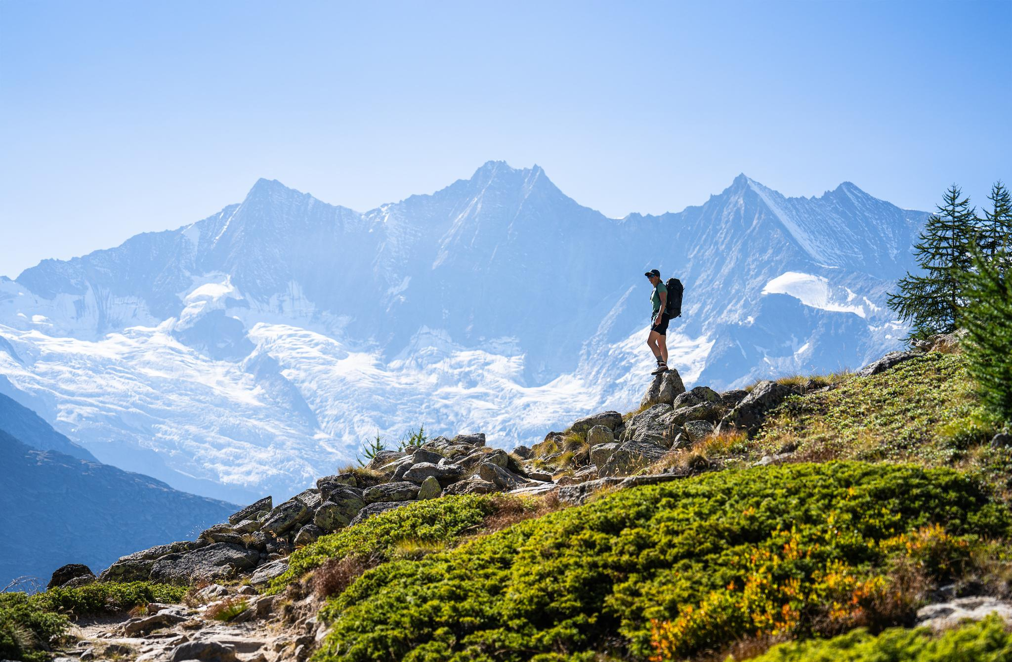
Hiking in Saas-Fee/Saastal – an arena for adventurers
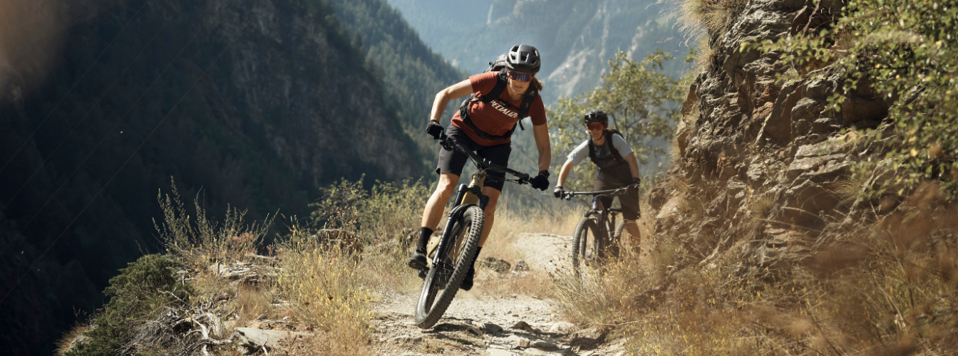
Bike-Eldorado Visp – Zwischen Reben, Felsen und Gipfeln

Mountain Hikes around Staldenried
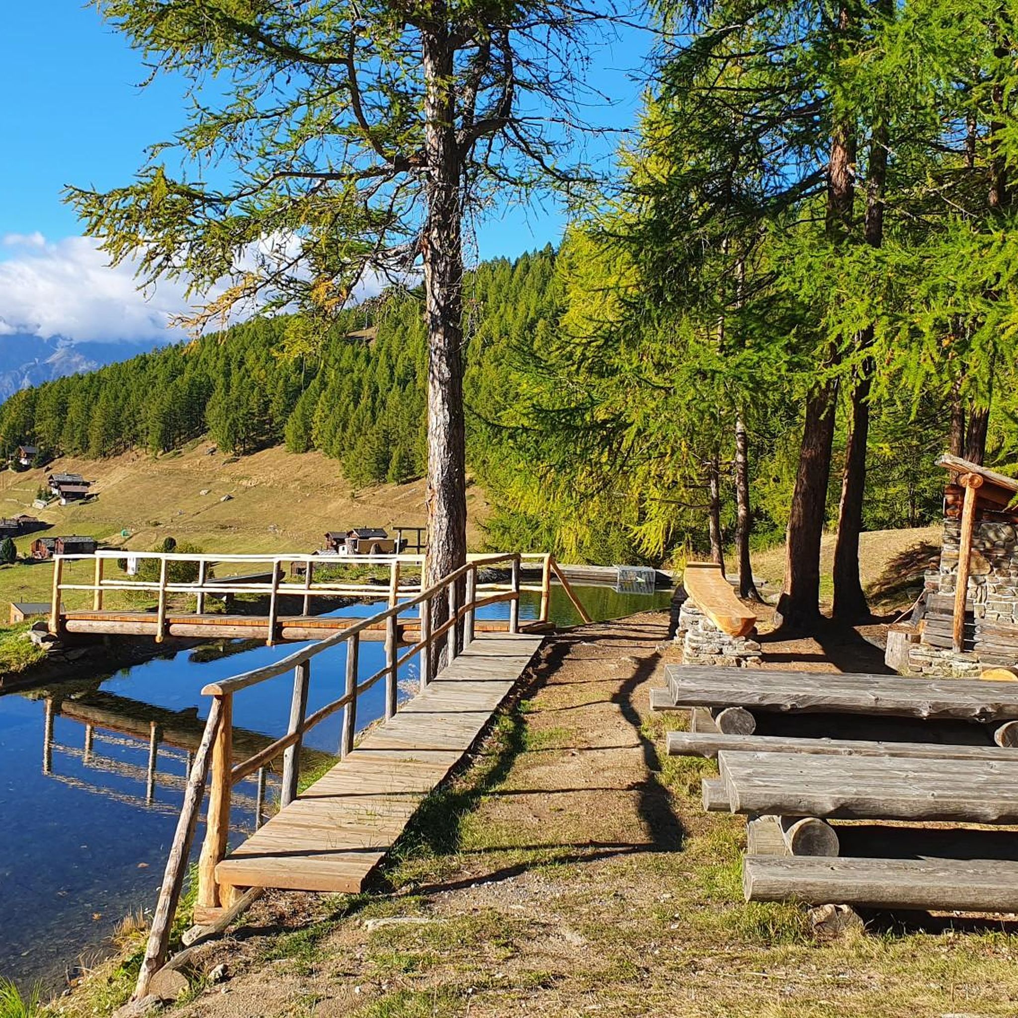
Cycling around Staldenried
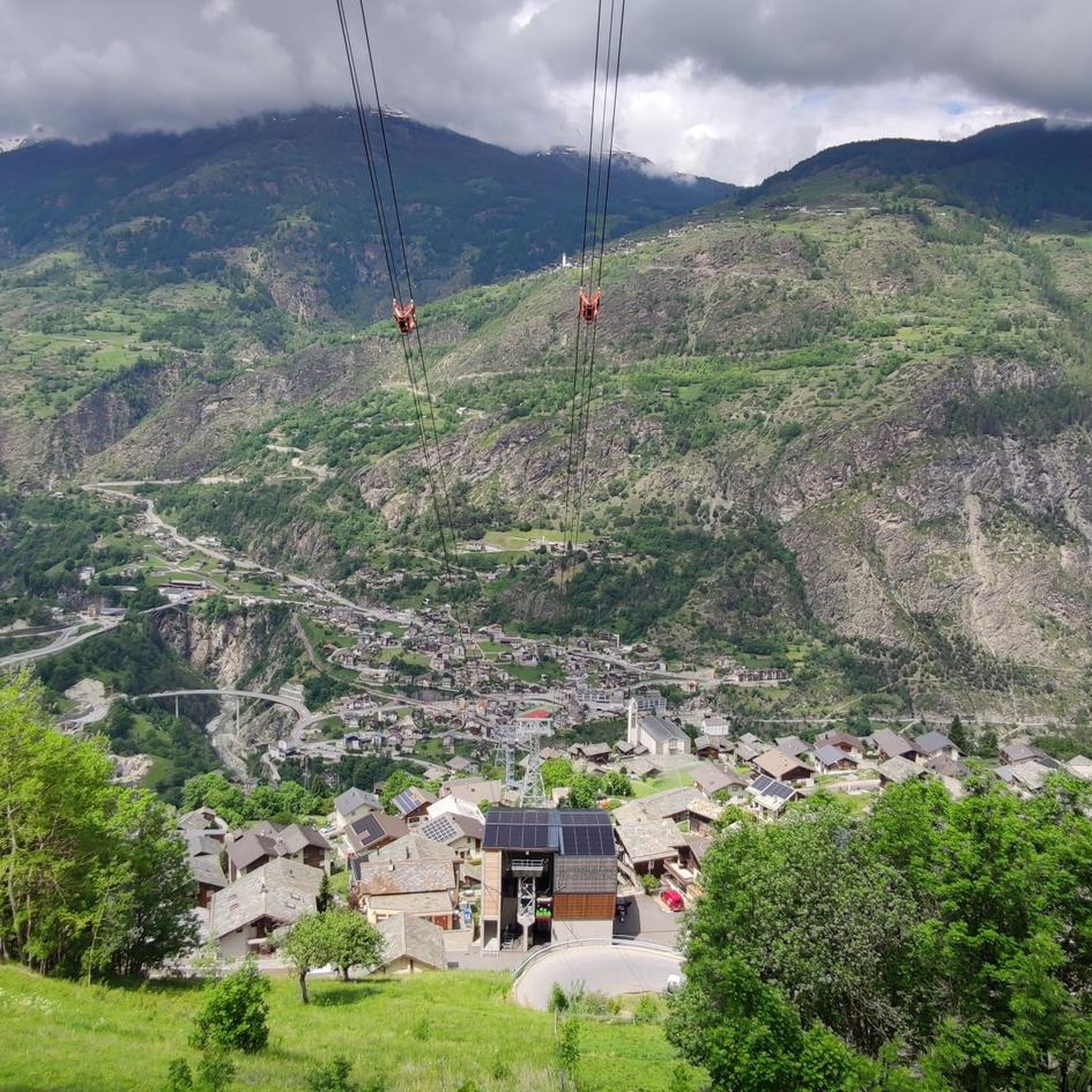
Road Cycling Routes around Staldenried
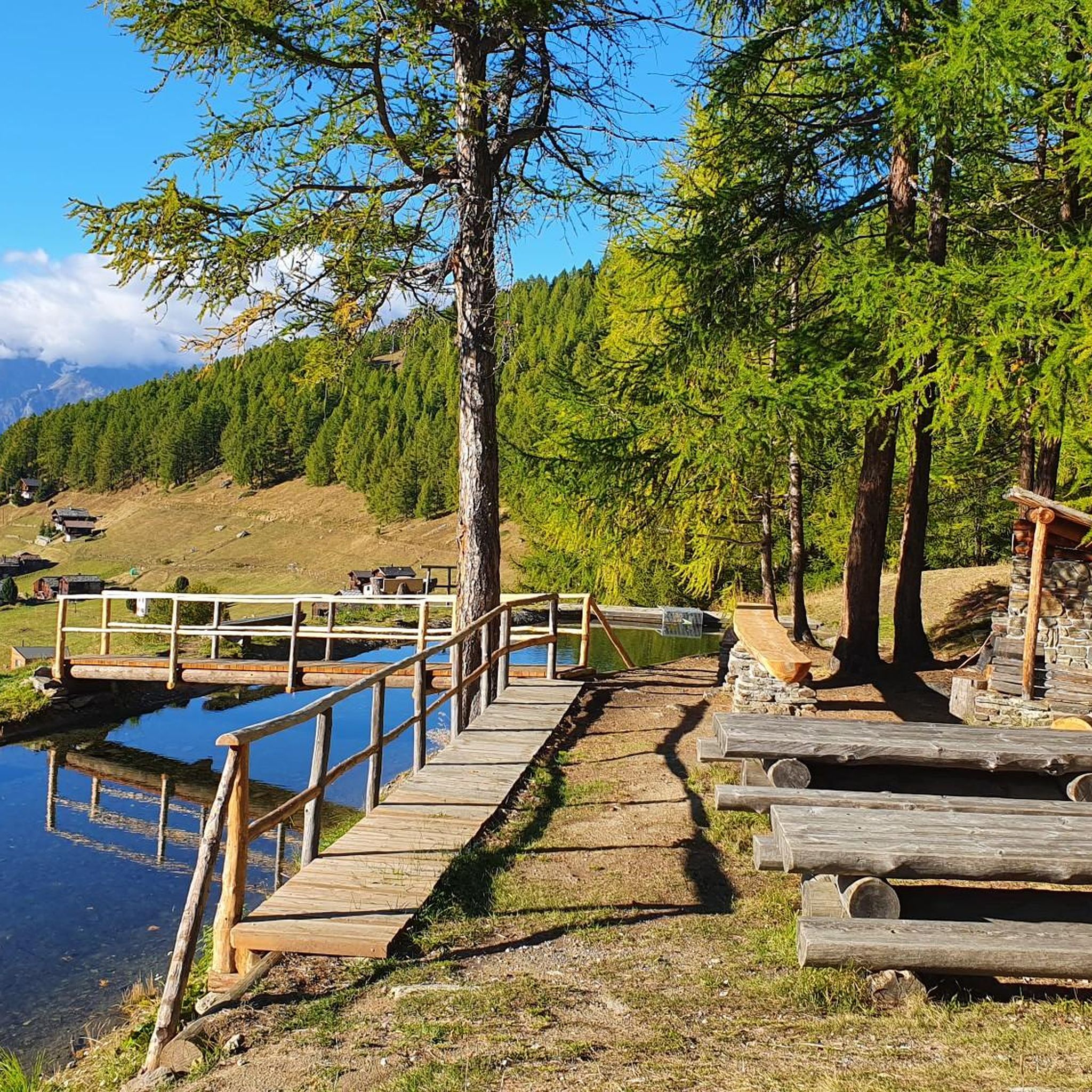
MTB Trails around Staldenried
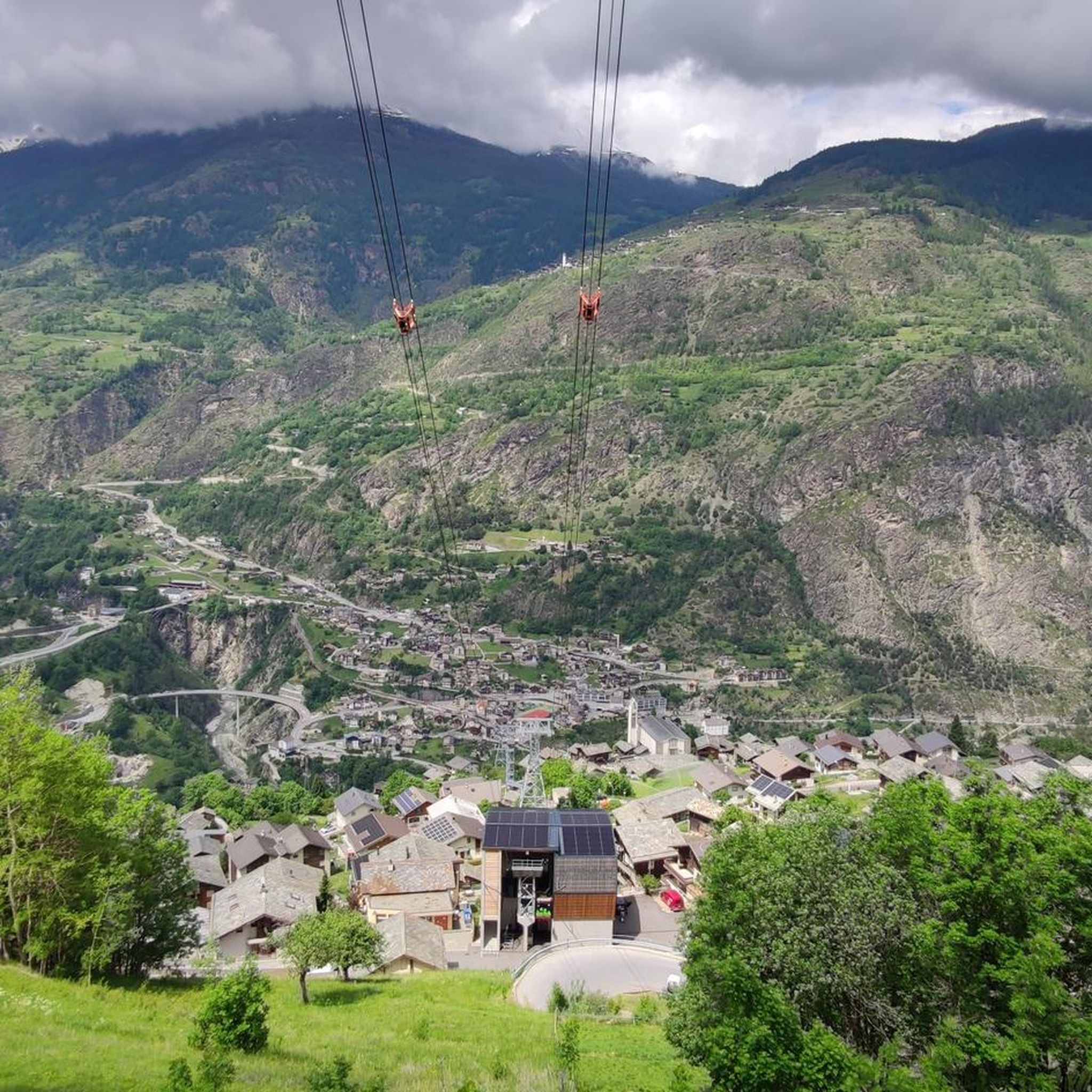
Running Trails around Staldenried
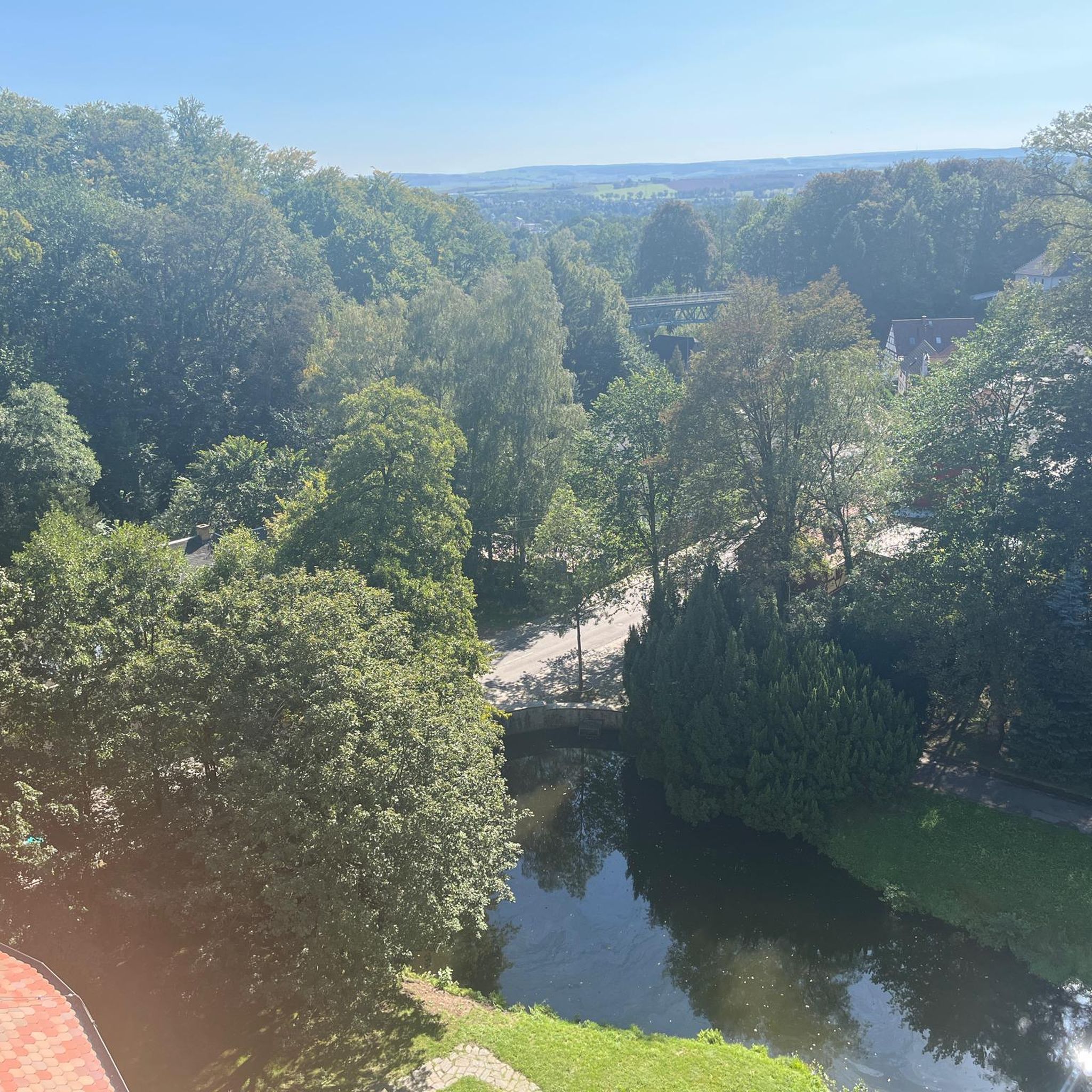
Gravel biking around Staldenried
Other adventures around Staldenried


Tips from the Community

The Panoramalodge on the Giw can be rented from 3 days. Space for up to 20 people. Information is available at the Heidadorf-Visperterminen Tourist Office.
0
0
The Gebidumsee invites you to swim. Barbecue area and wood available. Overnight accommodation in a tipi tent. Not reservable. Only a wooden cot available. Dreamlike sunset
0
0

The small hut is a great photo motif. And a nice place for a short rest with a view.
0
0

Wayside cross for hikes towards Simplon Village and Simplon Pass.
0
0

pristine, charming mountain village in the Vispertal
0
0

Beautiful mountain restaurant with a large sun terrace https://www.bergrestaurant-giw.ch/
6
0
Frequently Asked Questions
What types of landscapes can I expect to see while hiking in Staldenried?
Staldenried, located in the Nikolai Valley, offers a diverse range of alpine landscapes. You'll encounter rugged terrain, high-altitude Swiss Stone Pine forests, and historic irrigation channels known as Suonen. Hikers are also treated to extensive mountain panoramas, including views of iconic peaks like the Bietschhorn, Weissmies, Allalinhorn, and the Mischabel group.
Are there any easy hiking trails suitable for beginners in Staldenried?
Yes, Staldenried offers options for various ability levels, including easy routes. While specific easy routes aren't detailed in the top recommendations, the overall network includes trails suitable for beginners. There are 2 easy routes out of 16 total tours in the area.
Can I find circular hiking routes in Staldenried?
Yes, circular routes are a popular option in Staldenried. For example, the Gibidum Lake – Gspon loop from Staldenried is a challenging 9.4-mile path, and the Sädolti – Gspon loop from Staldenried is a moderate 5.4-mile trail. The region also features a Suonen circular hike from Staldenried along the former Unterriederi water channel.
What are some notable natural features or landmarks to look out for on the trails?
The region is rich in natural beauty and historical elements. You can explore ancient irrigation channels called Suonen, which are a unique part of the landscape. Hikers will also enjoy panoramic views of the Mischabel range and other 4,000-meter peaks. For specific natural attractions, consider visiting the Marchgrabe Waterfall and Trail or the Fellbachfall Waterfall.
Are there any family-friendly hiking options in Staldenried?
Staldenried offers a variety of well-marked trails, some of which are suitable for families. While specific family-friendly routes are not highlighted, the presence of easy and moderate paths suggests options for different fitness levels, including those with children. The region's diverse landscapes and historic Suonen channels can make for an engaging family outing.
What is the best time of year to go hiking in Staldenried?
The Valais canton, where Staldenried is located, is known for its dry climate, making it generally favorable for hiking. While specific seasonal recommendations aren't provided, the diverse terrain and high-altitude forests suggest that late spring through early autumn would offer the most pleasant conditions for exploring the trails and enjoying the panoramic views.
How accessible are the hiking trails by public transport in Staldenried?
Public transport access to hiking trails in Staldenried is generally good. The car-free hamlet of Gspon, a popular starting point for many hikes, is accessible, likely via cable car from Stalden. For specific routes like the Gsponer Höhenweg or the Suonen circular hike, public transport options are available to reach their starting points.
Are there any challenging hikes for experienced hikers in the Staldenried area?
Yes, Staldenried offers challenging routes for experienced hikers. For instance, the Gibidum Lake – Gspon loop from Staldenried is classified as difficult, covering 9.4 miles with notable elevation changes. Another difficult option is the Mälachji Summit (2,170 m) – Gspon loop from Staldenried, which involves significant ascent.
What do other hikers say about their experience in Staldenried?
The hiking experience in Staldenried is highly regarded by the komoot community, with an average rating of 4.8 stars from over 260 reviews. Hikers frequently praise the panoramic mountain views, the unique historic Suonen water channels, and the high-altitude Swiss Stone Pine forests that define the region's trails.
Are there places to eat or stay near the hiking routes in Staldenried?
While specific cafes or accommodations directly on every trail are not detailed, the region, including the hamlet of Gspon, offers facilities for visitors. For example, the Mountain restaurant Dorbia Moosalp is a nearby option. It's advisable to check local listings for cafes, pubs, and restaurants in Staldenried and Gspon for options before or after your hike.
What are the typical durations for hikes around Staldenried?
Hiking durations in Staldenried vary depending on the route's difficulty and length. For example, the moderate Gsponer Höhenweg (High trail) typically takes around 4 hours 34 minutes to complete. Shorter, moderate trails like the Gspon – St. Wendelin Chapel at Finilu loop from Staldenried can be completed in about 1 hour 47 minutes, while more difficult routes can take significantly longer.
Is it possible to see wildlife while hiking in Staldenried?
Yes, with a bit of luck, hikers in Staldenried can encounter a variety of wildlife in their natural habitat. The region is home to animals such as deer, ibex, marmots, and majestic eagles, adding another dimension to the outdoor experience.
Most popular routes around Staldenried
Most popular attractions around Staldenried

Get inspired with the komoot mobile app


Explore more
Browse the best Hikes in other regions.
