The best walks and hikes around Tzaramonte/Chiaramonti
4.5
(42)
130
hikers
5
hikes
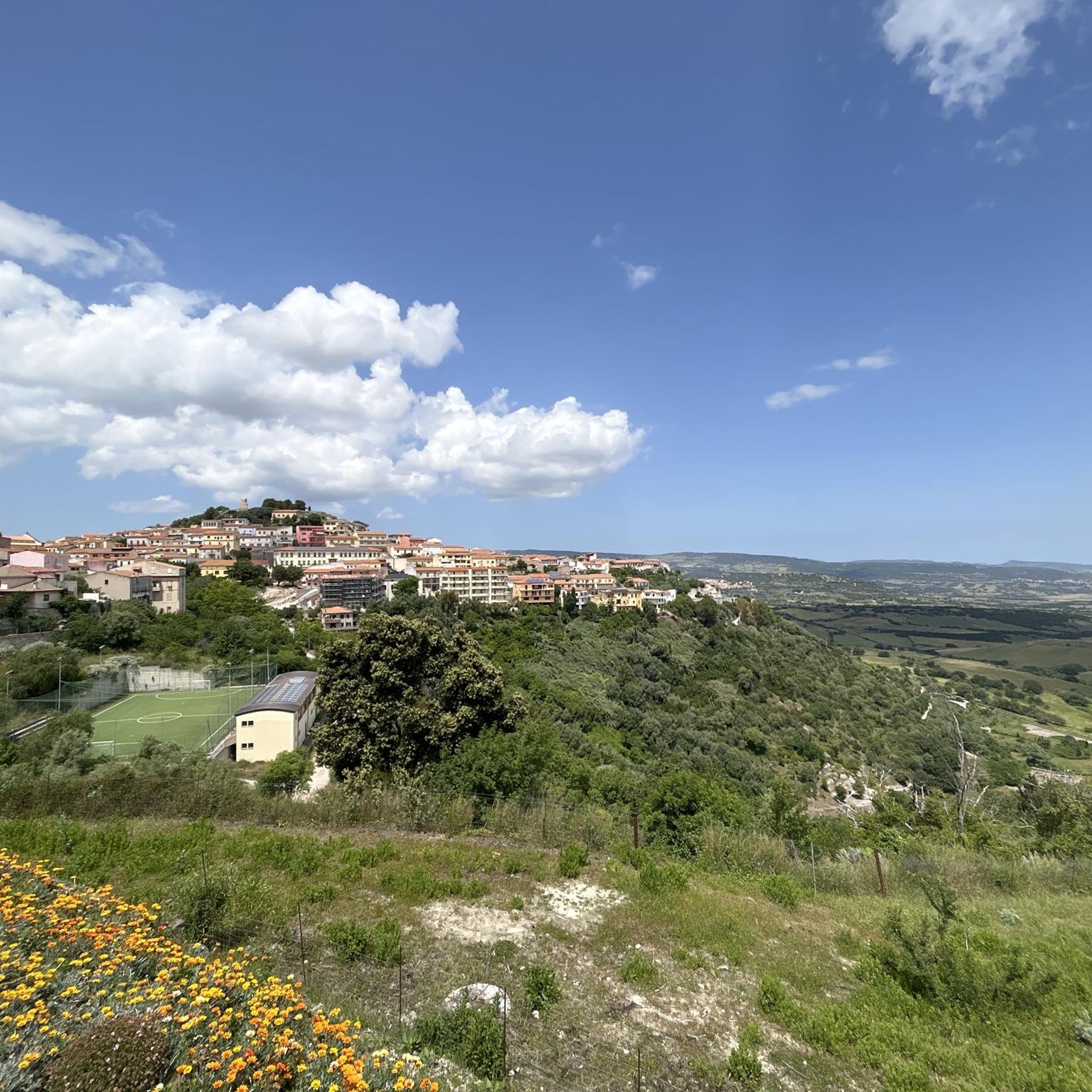
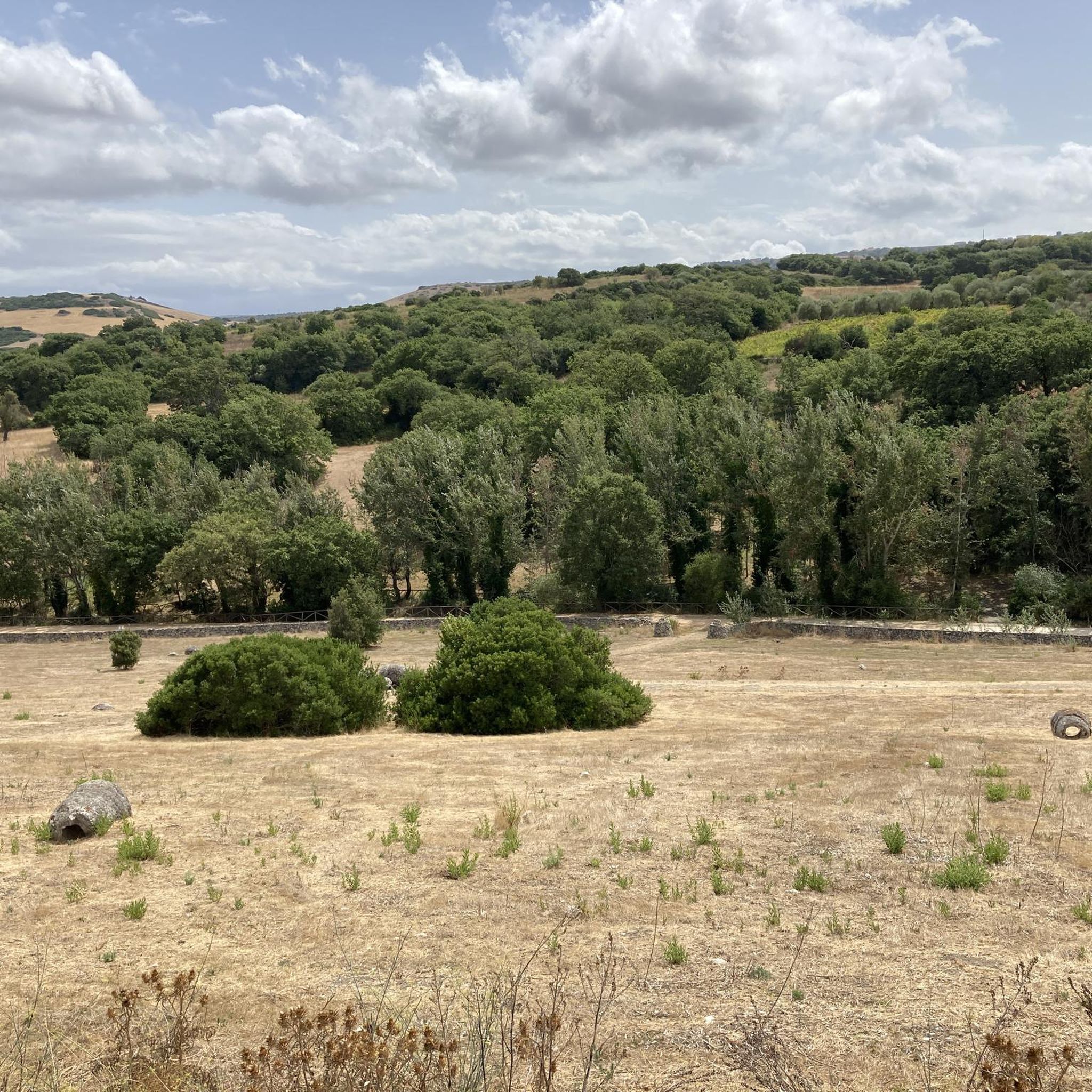
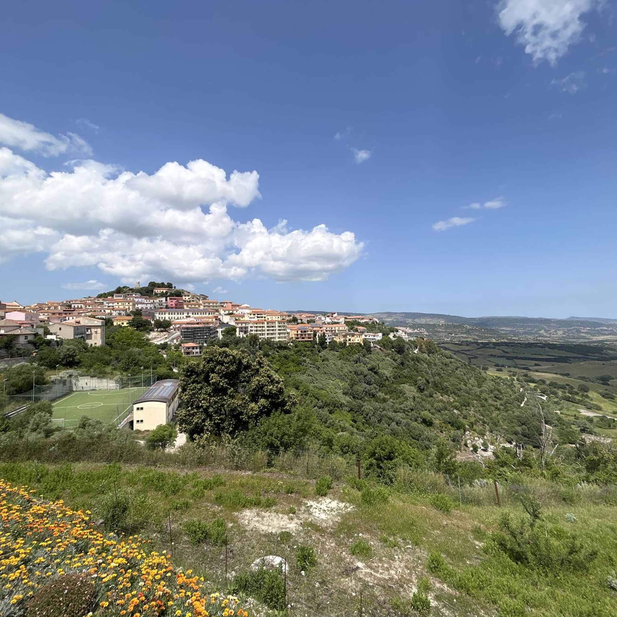
Hiking around Tzaramonte/Chiaramonti offers routes through varied terrain in northern Sardinia. The region features rolling hills, ridges, and areas with historical significance, providing diverse landscapes for exploration. Trails often lead through Mediterranean vegetation, offering views of the surrounding countryside. The area provides opportunities for both gentle walks and more challenging ascents.
Best hiking trails around Tzaramonti/Chiaramonti
- The most popular hiking route is Walk from Osilo to Monte Tuffusedu and back, a 4.0 miles (6.5 km) trail that takes 1 hour 53 minutes to complete. This easy route offers views towards Monte Tuffusedu.
- Another top favourite among local hikers is Chiesa di San Pantaleo loop from Maltis/Martis, an easy 3.6 miles (5.8 km) path. This circular route explores the area around the historic Chiesa di San Pantaleo.
- Local hikers also love the Ridge Trail loop from Laerru, a 2.9 miles (4.6 km) trail leading through ridge landscapes, often completed in about 1 hour 44 minutes.
- Hiking around Tzaramonte/Chiaramonti is defined by rolling hills, scenic ridges, and historical points of interest. The network offers options for different ability levels, from easy walks to more difficult ascents.
- The routes in Tzaramonte/Chiaramonti are highly rated by the komoot community with an average score of 4.2 stars from over 40 reviews. More than 130 hikers have used komoot to explore Tzaramonte/Chiaramonti's varied terrain.
Last updated: July 8, 2026
4.5
(4)
19
hikers
6.51km
01:53
170m
160m
Easy hike. Great for any fitness level. Easily-accessible paths. Suitable for all skill levels.
4.5
(17)
43
hikers
7.68km
02:11
170m
170m
Moderate hike. Good fitness required. Easily-accessible paths. Suitable for all skill levels.

Sign up for free
4.1
(7)
28
hikers
13.4km
04:17
450m
450m
Moderate hike. Good fitness required. Mostly accessible paths. Sure-footedness required.
5.0
(4)
13
hikers
4.64km
01:44
170m
170m
Hard hike. Great for any fitness level. Sure-footedness, sturdy shoes and alpine experience required.
4.0
(5)
10
hikers
4.75km
01:22
110m
110m
Easy hike. Great for any fitness level. Easily-accessible paths. Suitable for all skill levels.
Our route recommendations are based on thousands of hikes, rides, and runs completed by other people on komoot.
Start today with a free account
Your next adventure awaits.
Login or Signup
Popular around Tzaramonte/Chiaramonti
Tips from the Community

This museum displays a prehistoric dwelling, along with a few everyday objects from the more recent past. Admission is 3 euros, as of 2025.
0
0

When you come to a fence at some point… you have to go over it to continue!
0
0

The "house in the rock", an extraordinary pre-Nuragic architecture 'lived' until the 20th century, is in the 'heart' of a village in Anglona, in the north-west of Sardinia. It is the largest domu de Janas excavated to date.
0
0
You are in front of a beautiful natural waterfall where you can stop and cool off.
0
0

You must not be afraid of heights. Ropes, ladders and paths were in excellent condition at 07.24.
0
0
The tour was beautiful, great views, huge rocks and a 3000 year old grave at the beginning. Unfortunately the tour ends halfway through a fence. So we didn't get to the waterfall.
0
0

The Rosario Church is a religious building in Osilo, a city in northwestern Sardinia. It is dedicated to Catholic worship and belongs to the parish of the Immaculate Conception, which, like the church of Santa Croce, is not far away. The church, built in the 17th century, is dedicated to the Madonna del Rosario; In addition, Saint Dominic, Saint Anne and Saint Narcissus of Girona, protectors of crops from locust plagues, were also honored in the church. Source: https://it.wikipedia.org/wiki/Chiesa_del_Rosario_(Osilo)
0
0

Frequently Asked Questions
How many hiking trails are available in Tzaramonte/Chiaramonti?
There are 6 hiking routes documented in Tzaramonte/Chiaramonti on komoot. These trails offer a variety of experiences, from easy walks to more challenging ascents through the region's diverse landscapes.
Are there easy hiking options suitable for beginners or families in Tzaramonte/Chiaramonti?
Yes, the region offers 4 easy hiking routes. A great option for a gentle walk is the Walk from Osilo to Monte Tuffusedu and back, which is 4.0 miles (6.5 km) long and offers pleasant views. Another family-friendly choice is the Picnic Area Near Stone Ruins – Ruins of a Stone House loop from Séddini/Sedini.
Are there any circular hiking routes in Tzaramonte/Chiaramonti?
Yes, several routes in the area are circular. For example, the Chiesa di San Pantaleo loop from Maltis/Martis is an easy 3.6-mile (5.8 km) path that explores the area around the historic church. Another option is the more challenging Ridge Trail loop from Laerru.
What is the best time of year to go hiking in Tzaramonte/Chiaramonti?
The best time to hike in Tzaramonte/Chiaramonti is typically during spring (April to June) and autumn (September to October). During these months, the weather is mild and pleasant, ideal for exploring the Mediterranean vegetation and rolling hills. Summers can be very hot, while winters are generally mild but can bring some rain.
Are there any challenging or advanced hiking trails in the region?
Yes, Tzaramonte/Chiaramonti offers 2 difficult hiking routes for more experienced hikers. The Ridge Trail loop from Su Coloru (ingresso alto) K0028 is a notable option, covering 5.2 miles (8.4 km) with significant elevation changes, providing a more strenuous experience.
What kind of natural attractions or landmarks can I see while hiking?
The region is rich in natural and historical sites. You can discover fascinating geological formations like the Petrified Forest of Martis, or explore ancient burial sites such as the Fairies’ Houses. There are also beautiful waterfalls like Cascata Pilchina di li Caaddaggi and Cascata di Triulintas.
Are the hiking trails in Tzaramonte/Chiaramonti dog-friendly?
Many trails in the Tzaramonte/Chiaramonti area are suitable for dogs, especially those that traverse open countryside and less populated areas. It's always recommended to keep your dog on a leash, especially near livestock or protected natural areas, and to carry enough water for both yourself and your pet.
Where can I find parking for trailheads in Tzaramonte/Chiaramonti?
Parking availability varies by trailhead. Many routes start from or pass through small villages like Osilo, Maltis/Martis, Laerru, or Séddini/Sedini, where you can often find street parking or small public parking areas. It's advisable to check the specific route details on komoot for suggested starting points and parking information.
Are there any opportunities for wild swimming near the hiking trails?
While the immediate hiking trails in Tzaramonte/Chiaramonti are primarily inland, the region of Sardinia is known for its beautiful coastline and rivers. For wild swimming, you would typically need to venture closer to the coast or specific river spots, which might require a short drive from the hiking areas. Always check local regulations and safety conditions before swimming in natural waters.
What do other hikers enjoy most about hiking in Tzaramonte/Chiaramonti?
The hiking routes in Tzaramonte/Chiaramonti are highly rated by the komoot community, with an average score of 4.2 stars from over 40 reviews. Hikers often praise the varied terrain, which includes rolling hills and scenic ridges, as well as the historical points of interest found along the paths.
What should I bring for a hike in Tzaramonte/Chiaramonti?
For hiking in Tzaramonte/Chiaramonti, it's essential to bring appropriate footwear, such as sturdy hiking shoes or boots, especially for trails with uneven terrain. Carry sufficient water, sun protection (hat, sunscreen), and snacks. A map or a GPS device (like the komoot app) is also recommended, as some paths might not be extensively marked. Depending on the season, layers of clothing are advisable.
Can I find cafes or places to eat near the hiking trails?
The hiking trails in Tzaramonte/Chiaramonti often start or pass near small towns and villages. In these locations, you can typically find local cafes, bars, or trattorias where you can grab a coffee, a snack, or a meal. It's a good idea to check the opening hours, especially in smaller villages, as they might be limited.
Most popular attractions around Tzaramonte/Chiaramonti

Get inspired with the komoot mobile app


Explore more
Browse the best Hikes in other regions.
