The best walks and hikes around Codaruina/Valledoria
4.5
(219)
1,263
hikers
29
hikes
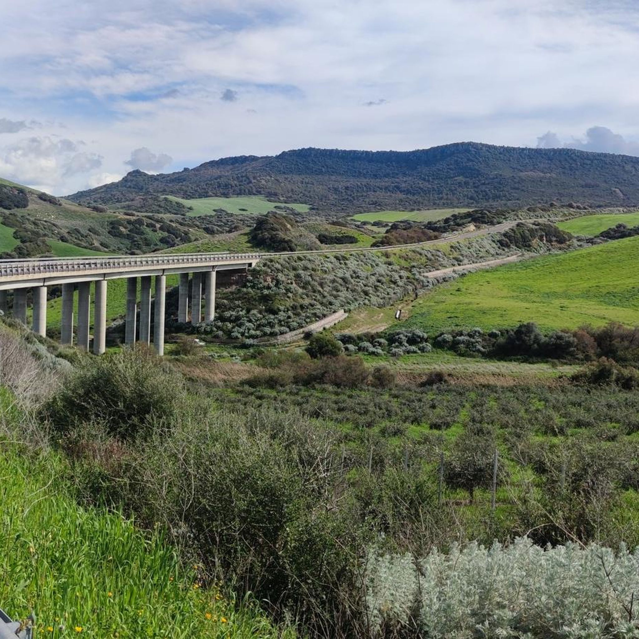
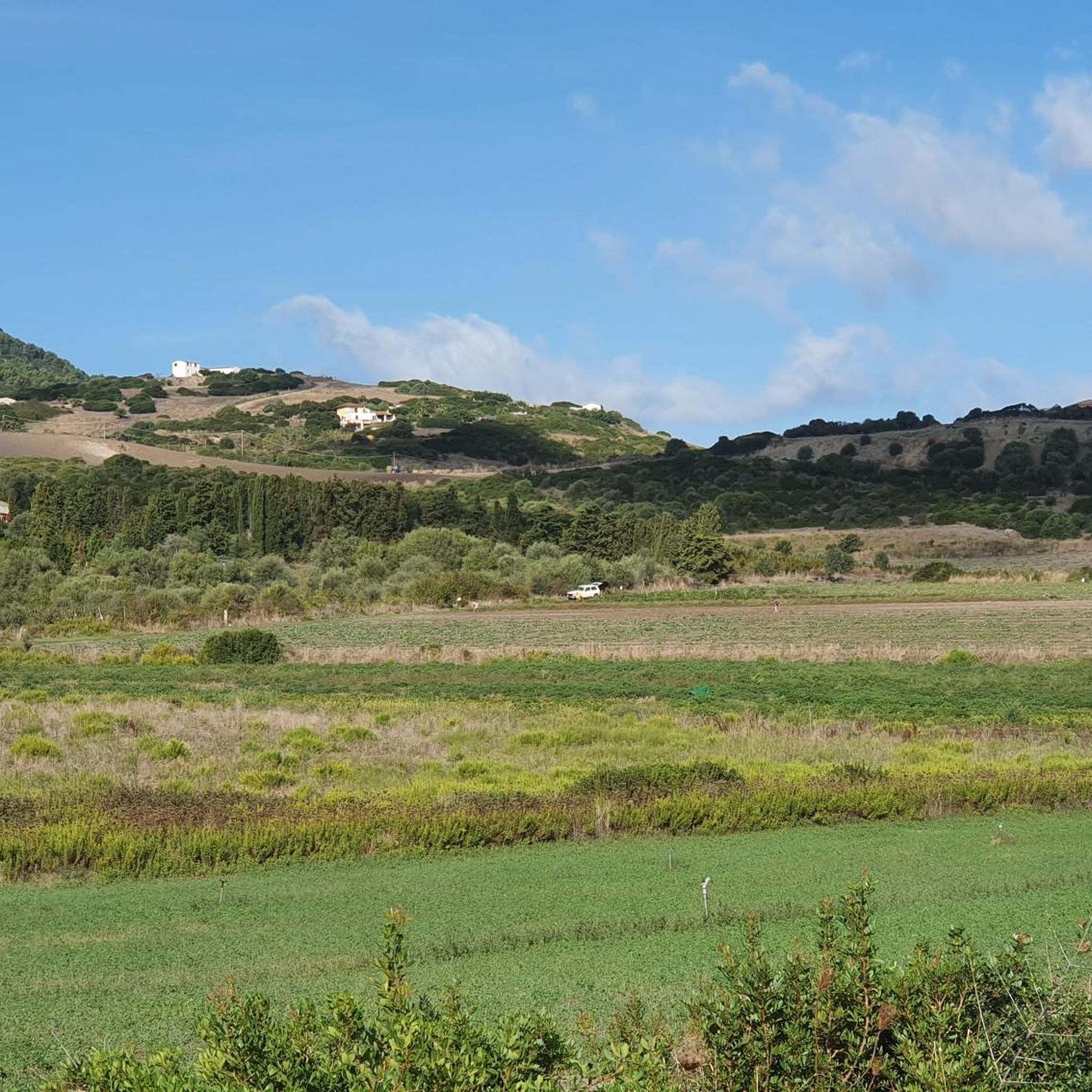
Hiking around Codaruina/Valledoria offers a diverse landscape characterized by a blend of coastal beauty, riverine ecosystems, and a historic hinterland. The region features a long, sandy coastline, the Coghinas River wetland, and inland hills covered in Mediterranean scrub. Gentle elevations and watercourses carve valleys, providing varied terrain for outdoor activities.
Best hiking trails around Codaruina/Valledoria
- The most popular hiking route is Capo Caccia Coastal Path – Campulandru Point loop from La Ciaccia, a 4.8 miles (7.7 km) trail that takes 2 hours 10 minutes to complete. This route offers picturesque views of the crystal-clear sea and coastal cliffs.
- Another top favourite among local hikers is View from Mount Ossoni loop from La Muddizza, a moderate 6.7 miles (10.8 km) path. This trail provides panoramic views of the Asinara Gulf from higher points, passing through Mediterranean maquis.
- Local hikers also love the Capo Caccia Coastal Path – Treppe Via Trieste loop from La Muddizza, a 10.1 miles (16.3 km) trail leading through coastal paths with dramatic ocean vistas, often completed in about 4 hours 41 minutes.
- Hiking around Codaruina/Valledoria is defined by coastal paths, the Coghinas River estuary, and inland hills with Mediterranean maquis. The network offers options for various ability levels, from easy walks to moderate hikes.
- The routes in Codaruina/Valledoria are highly rated by the komoot community with an average score of 4.3 stars from over 240 reviews. More than 1200 hikers have used komoot to explore Codaruina/Valledoria's varied terrain.
Last updated: May 11, 2026
4.5
(23)
111
hikers
7.68km
02:10
100m
100m
Moderate hike. Good fitness required. Mostly accessible paths. Sure-footedness required.
4.6
(9)
43
hikers
10.8km
03:14
360m
360m
Moderate hike. Good fitness required. Easily-accessible paths. Suitable for all skill levels.

Sign up for free
4.5
(12)
67
hikers
15.8km
04:33
330m
330m
Moderate hike. Good fitness required. Mostly accessible paths. Sure-footedness required.
5.0
(1)
18
hikers
8.93km
02:15
20m
20m
Moderate hike. Good fitness required. Easily-accessible paths. Suitable for all skill levels.
4.5
(2)
9
hikers
11.0km
02:47
20m
20m
Moderate hike. Good fitness required. Easily-accessible paths. Suitable for all skill levels.
Get access to more routes and recommendations from other explorers.
Sign up for free
Already have an account?
Our route recommendations are based on thousands of hikes, rides, and runs completed by other people on komoot.
Start today with a free account
Your next adventure awaits.
Login or Signup


Tips from the Community

looking forward to the sea urchins and the snakes
0
0

Bell tower of the Church of Sant'Antonio Abate. Built in the Middle Ages by the Doria family, the tower initially served as a lookout and lighthouse, only later was it converted into a bell tower.
1
0

Great view behind the harbor
0
0

A beautiful staircase with many small works of art
0
0
A small church dedicated to Mary is a must-see.
0
0

Nice view over the city and harbor
0
0

Church of Santa Maria delle Grazie, Castelsardo Church of Santa Maria delle Grazie (12th-13th century) Annexed to the adjacent Benedictine convent, and then entrusted to the Friars Minor Conventual in 1376. Here the magistrates swore every year fidelity to the statutes. Inside are displayed the "Christo Nero" and the "Pieddai" (bust of the Ecce Homo). Two polychrome wooden statues from the 14th century. The bell is dated A.D. 1401. In this church is located the confraternity of the Holy Cross, custodian of the rites of the "Lunissanti".
14
0
Cathedral of S. Antonio Abate, Castelsardo Cathedral of S. Antonio Abate (16th-17th century) It stands on the ancient remains of the Romanesque church. It was consecrated as a cathedral on 28th November 1503. The hypogea were used as burial chambers. On the high altar there is a painting belonging to the retable of the master of Castelsardo. Painted at the end of 1400. The other side altars and the interior furnishings in wood and pure gold are the work of ephantists and carvers of the 17th-18th centuries. The crypts house the museum of sacred art.
14
0
Frequently Asked Questions
How many hiking trails are available in Codaruina/Valledoria?
There are over 20 hiking trails around Codaruina/Valledoria, offering a diverse range of experiences. You'll find a good mix of easy walks and moderate hikes to explore the region's coastal beauty, riverine ecosystems, and historic hinterland.
What types of terrain can I expect on hikes in Codaruina/Valledoria?
The terrain is quite varied. You can expect long, sandy coastlines with dunes, trails along the Coghinas River and its wetland, and inland paths through Mediterranean scrub, pine, and eucalyptus woods. Some routes feature gentle elevations and watercourses carving valleys, while others offer more rugged coastal cliffs.
Are there any easy, family-friendly hikes in the area?
Yes, Codaruina/Valledoria offers 7 easy hiking routes suitable for families. These often include walks along the sandy beaches or gentle paths near the Coghinas River, perfect for a relaxed outing. For example, the Bench – Donnadieu Boardwalk loop from Resort Baia delle Mimose is a moderate option with minimal elevation gain, offering pleasant views.
Which trails offer the best panoramic views?
For spectacular panoramic views, consider hikes that ascend to higher points. The View from Mount Ossoni loop from La Muddizza is a moderate trail that provides breathtaking vistas of the entire Asinara Gulf from Monte Ussoni (348m). Coastal paths near La Ciaccia also offer picturesque views of the crystal-clear sea and dramatic ocean vistas.
Can I find trails that explore the Coghinas River and its wetlands?
Absolutely. The Coghinas River and its 50-hectare wetland are a significant natural feature. Trails along the river offer a chance to explore this rich ecosystem, which is a haven for diverse wildlife and ideal for nature walks and birdwatching. The Mouth of the Coghinas River – Mimosa Bay loop from La Muddizza is a great option to experience this unique environment.
Are there any circular hiking routes in Codaruina/Valledoria?
Yes, many of the trails in the region are designed as circular routes, allowing you to start and end at the same point. Examples include the popular Capo Caccia Coastal Path – Campulandru Point loop from La Ciaccia and the Capo Caccia Coastal Path – Treppe Via Trieste loop from La Muddizza, both offering stunning coastal scenery.
What natural landmarks or points of interest can I see while hiking?
The region is rich in natural landmarks. You can encounter the distinctive Elephant Rock (Rock of the Elephant) near Castelsardo, which is a unique rock formation. Other highlights include the Red Rock Formations at Capo Canneddi and the beautiful Cala Rossa Beach and Pink Rock Formations. The Coghinas River wetland itself is a significant natural attraction.
Are there any historical or cultural sites accessible via hiking trails?
While hiking, you can explore areas with historical significance. The nearby medieval village of Castelsardo, with its well-preserved historic center and castle, offers cultural exploration that can be combined with coastal walks. You might also find remnants of ancient towns like Ampurias or the intriguing Fairies’ Houses, which are ancient tombs.
What is the best time of year to go hiking in Codaruina/Valledoria?
The best time to hike in Codaruina/Valledoria is typically during the spring (April-May) and autumn (September-October) months. During these periods, the weather is pleasantly mild, and the landscapes are vibrant. Summer can be very hot, especially for longer hikes, while winter offers cooler temperatures but some trails might be less accessible due to rain.
What do other hikers say about the trails in Codaruina/Valledoria?
The hiking trails in Codaruina/Valledoria are highly rated by the komoot community, with an average score of 4.3 stars from over 240 reviews. Hikers often praise the diverse scenery, from stunning coastal views to tranquil river paths, and the variety of routes suitable for different fitness levels. Over 1200 hikers have used komoot to explore this region.
Are there any trails that lead to hot springs or thermal baths?
While not directly on a hiking trail, the Casteldoria Thermal Baths, fed by hot springs flowing at 76°C, are located in the vicinity of the Coghinas River. You can combine a hike along the river with a visit to these natural thermal baths for a relaxing experience.
Is it possible to find parking near the trailheads?
Parking availability varies by trailhead. In general, popular starting points for coastal walks or routes near towns like La Ciaccia or La Muddizza often have designated parking areas. For more remote trails, it's advisable to check specific route details on komoot for information on parking options.
Most popular routes around Codaruina/Valledoria
Most popular attractions around Codaruina/Valledoria

Get inspired with the komoot mobile app


Explore more
Browse the best Hikes in other regions.
