The best mountain hikes around Castelvecchio Calvisio
4.7
(3)
25
hikers
3
hikes
Mountaineering routes around Castelvecchio Calvisio are situated in the Gran Sasso e Monti della Laga National Park, characterized by rugged peaks, high-altitude plateaus, and deep valleys. The terrain primarily consists of limestone formations, offering challenging ascents and expansive views. This region provides a diverse landscape for experienced mountaineers, with elevations reaching significant heights.
Best mountaineering routes around Castelvecchio Calvisio
- The most popular mountaineering route is Campo Imperatore – View of Val Maone loop from Campo Imperatore, a 5.8 miles…
Last updated: May 24, 2026
11
hikers
11.4km
05:51
550m
550m
Hard mountaineering route. Very good fitness required. Sure-footedness, sturdy shoes and alpine experience required.
4.7
(3)
12
hikers
7.76km
04:53
910m
910m
Hard mountaineering route. Very good fitness required. Mostly accessible paths. Sure-footedness required.

Sign up for free
2
hikers
10.7km
06:22
880m
880m
Hard mountaineering route. Very good fitness required. Sure-footedness, sturdy shoes and alpine experience required.
Our route recommendations are based on thousands of hikes, rides, and runs completed by other people on komoot.
Start today with a free account
Your next adventure awaits.
Login or Signup
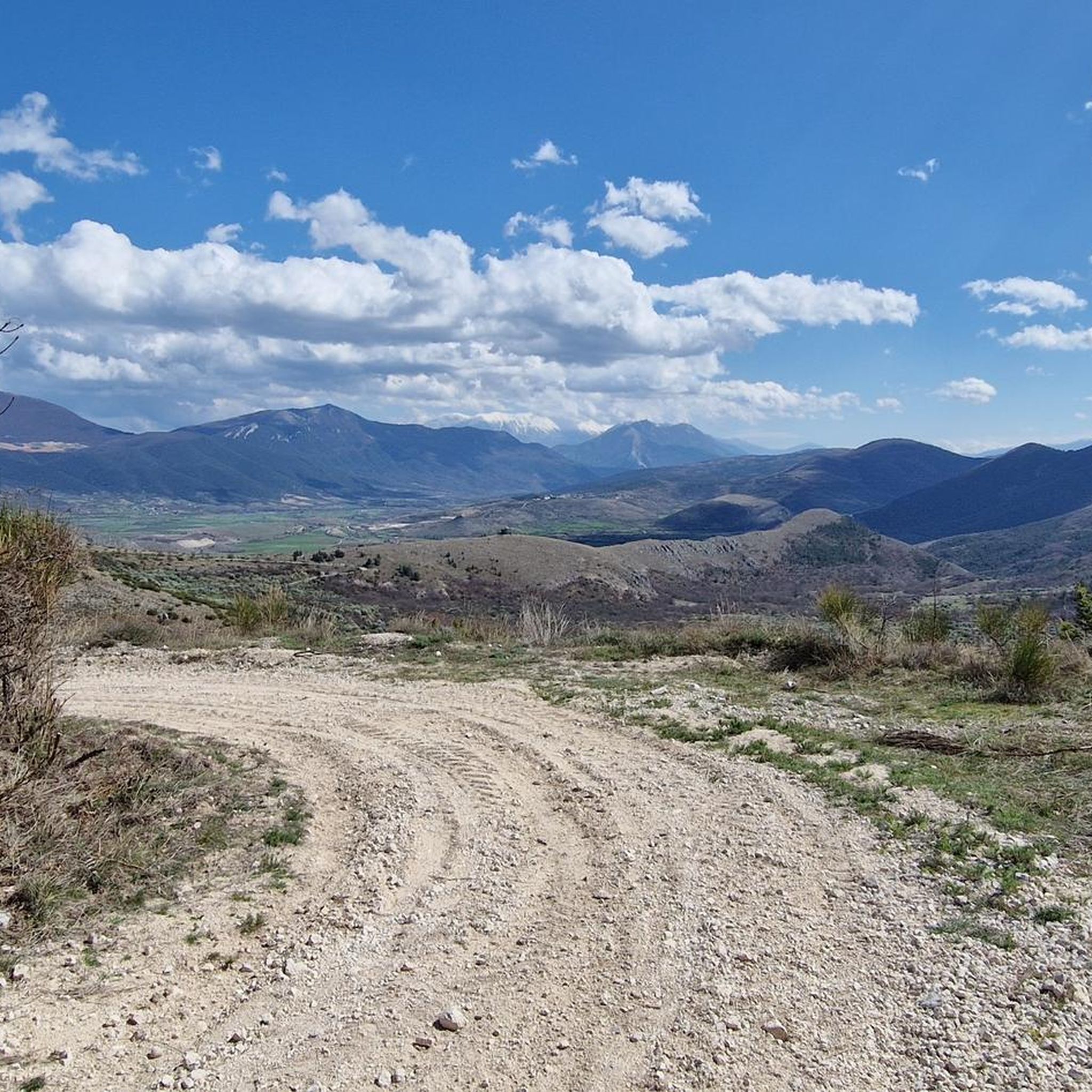
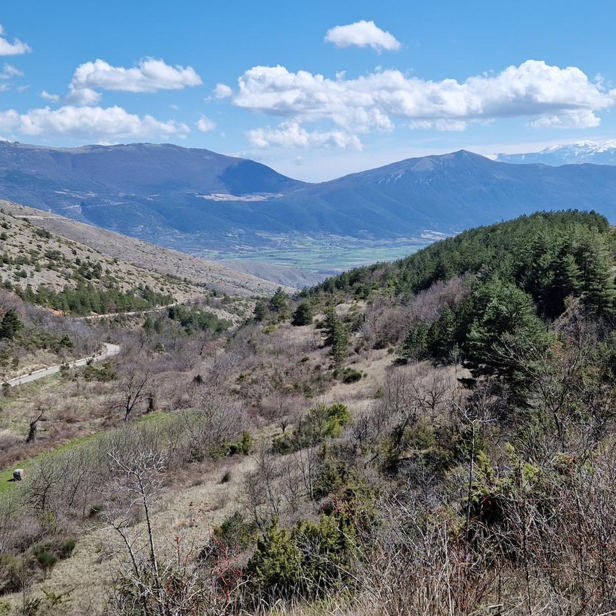
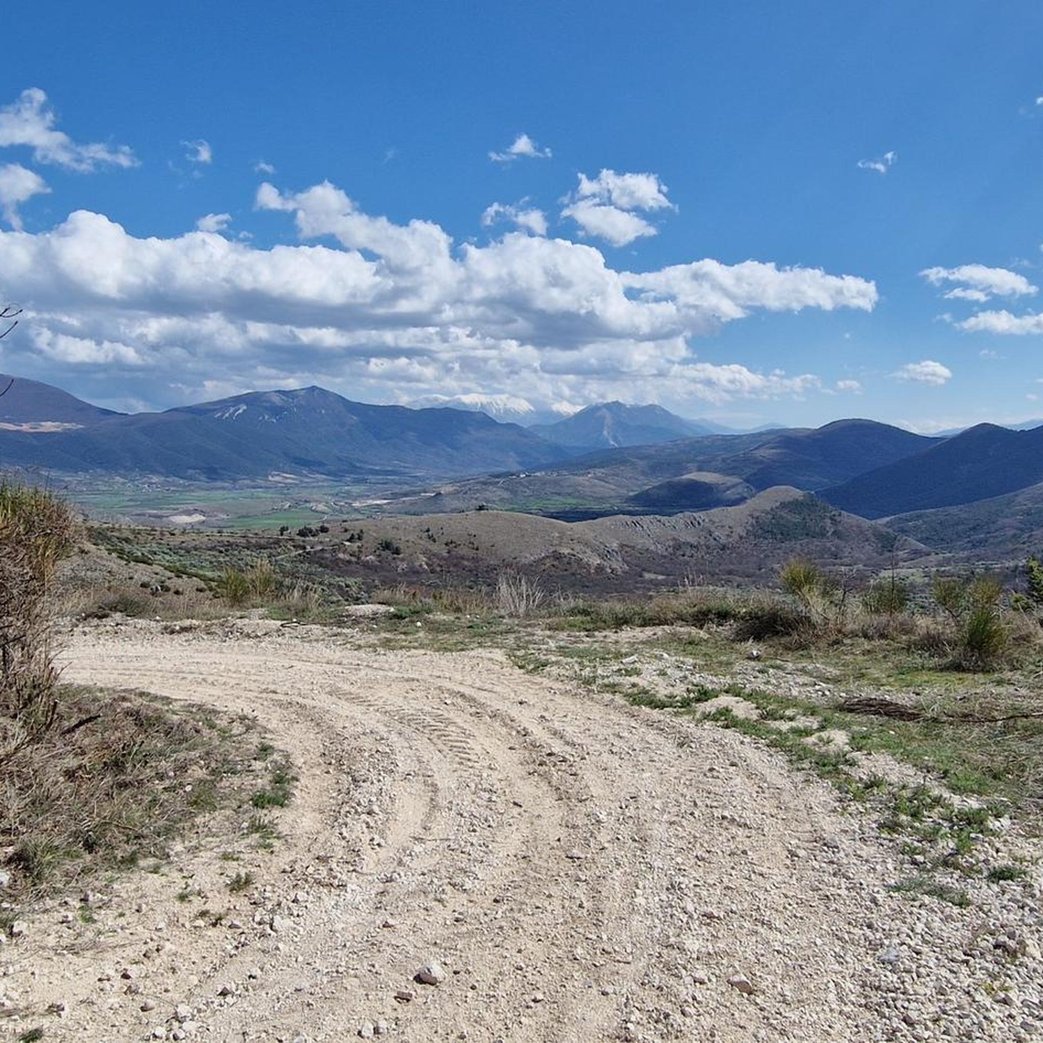
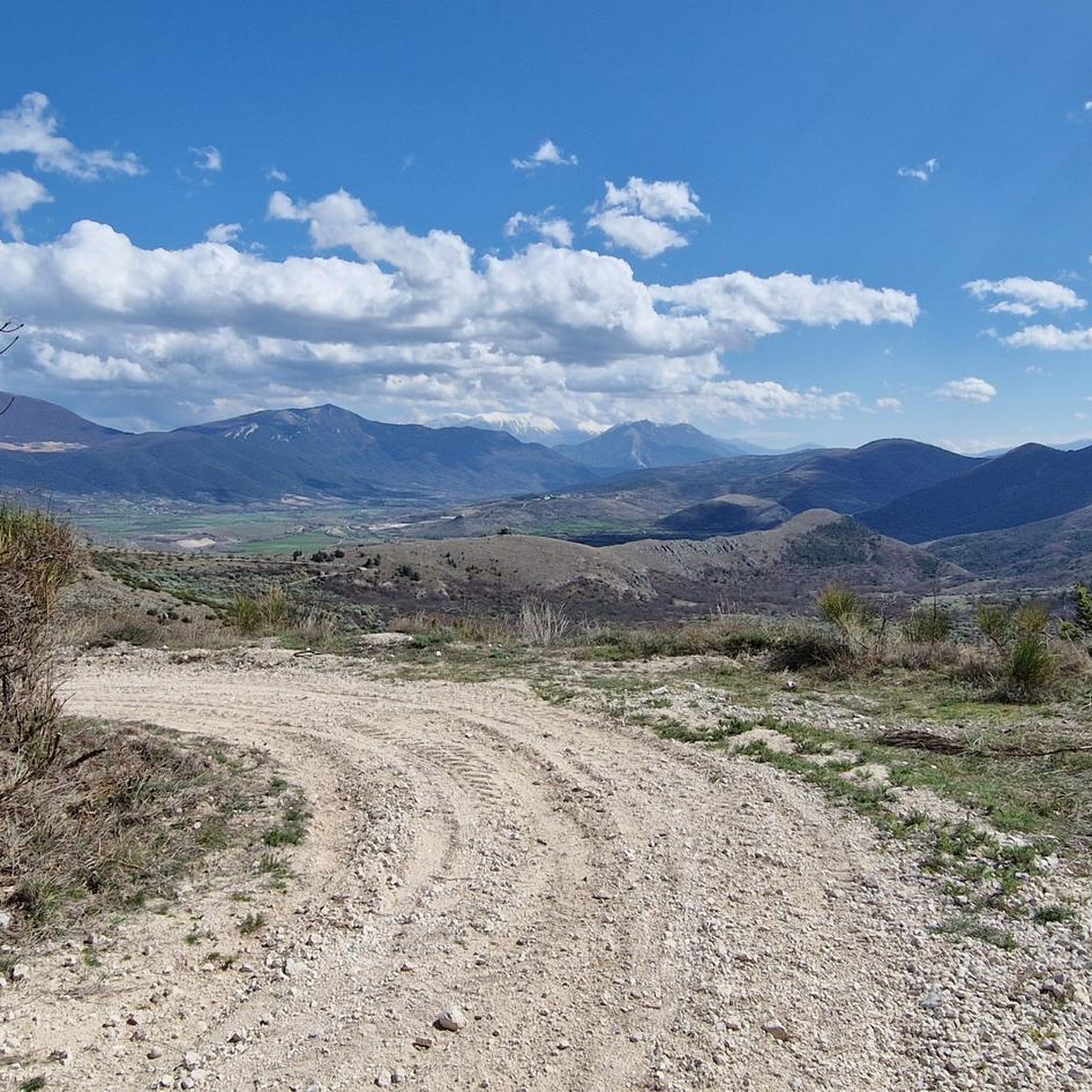

Tips from the Community

Arrival from Monte Prena and dislocation for Desiati bivouac, or continuing to the summit of Monte Camicia
0
0


Mount Camicia with its balconies overlooking the Adriatic are beautiful, with snow you can do it with crampons and ice axe
0
0


Vado di Corno is a pass at more than 1,900 meters above sea level, located on the Campo Imperatore plateau, in the heart of the Gran Sasso d'Italia. Various hiking trails also start from here, including the Centenary Trail and the ascent to Mount Aquila.
1
0
Monte Brancastello is a mountain of the Gran Sasso of Italy, 2,385 meters high. It is located on the eastern crest of the massif, between Monte Prena and the Torri di Casanova and is part of the Sentiero del Centenario, an itinerary that connects all the peaks of the Gran Sasso.
0
0
Monte Prena is a mountain of the Gran Sasso d'Italia 2,561 meters high. It is located on the eastern crest of the massif, between Monte Shirt and Monte Brancastello.
0
0
Frequently Asked Questions
What is the general difficulty level of mountaineering routes around Castelvecchio Calvisio?
The mountaineering routes in this region are primarily designed for experienced and advanced mountaineers. All listed routes are classified as 'difficult' due to challenging ascents, high-altitude plateaus, and rugged terrain within the Gran Sasso e Monti della Laga National Park.
Are there any circular mountaineering routes available near Castelvecchio Calvisio?
Yes, several routes offer a circular experience. For instance, you can explore the Campo Imperatore – View of Val Maone loop from Campo Imperatore, which provides panoramic views. Another option is the Corno Pass – Mount Brancastello loop from Monte Aquila, traversing high mountain passes. The Monte Camicia summit – Fonte Vetica Hut loop from Camping Fonte Vetica also offers a challenging circular journey through alpine meadows.
What are the typical durations for mountaineering tours in this area?
The mountaineering tours around Castelvecchio Calvisio vary in length, generally requiring a significant time commitment due to their difficulty. For example, the Campo Imperatore – View of Val Maone loop typically takes around 3 hours 49 minutes, while the Corno Pass – Mount Brancastello loop can take approximately 5 hours 50 minutes. The Monte Camicia summit loop is often completed in about 4 hours 52 minutes.
What kind of natural attractions can I expect to see along the mountaineering routes?
The region offers stunning natural beauty. Along your routes, you might encounter various mountain peaks such as Corno Grande Western Summit, Monte Aquila Summit, and Monte Camicia summit. There are also beautiful lakes nearby, including Lake Capodacqua and Lake Pietranzoni, which are worth exploring.
Is Castelvecchio Calvisio suitable for family-friendly mountaineering?
Given that all listed mountaineering routes are classified as 'difficult' and are primarily for advanced mountaineers, this area is generally not recommended for family-friendly mountaineering with young children or beginners. The terrain is rugged and requires significant experience and fitness.
What is the best time of year for mountaineering in Castelvecchio Calvisio?
The best time for mountaineering in the Gran Sasso e Monti della Laga National Park is typically from late spring to early autumn (June to September) when the weather is more stable, and snow has largely melted from higher elevations. Always check local weather forecasts and trail conditions before heading out.
Are there any less crowded or 'hidden gem' mountaineering routes in the area?
While all routes offer a sense of wilderness, the Monte Infornace (2464 m) – Monte Prena Summit Cross loop from Campo Imperatore is a challenging option that might offer a more secluded experience compared to some of the more frequently visited trails, leading to impressive summits.
What do other mountaineers say about the routes around Castelvecchio Calvisio?
The routes around Castelvecchio Calvisio are highly regarded by the komoot community, holding an average rating of 4.7 stars from over 7 reviews. Mountaineers often praise the challenging nature of the trails, the expansive views across the Campo Imperatore plateau, and the rugged beauty of the Gran Sasso peaks.
Is public transport available to access the trailheads near Castelvecchio Calvisio?
Public transport options directly to the specific trailheads for mountaineering in the Gran Sasso e Monti della Laga National Park are generally limited. Access often requires a car, especially for reaching starting points like Campo Imperatore or Camping Fonte Vetica. It's advisable to plan for private transportation.
What kind of wildlife might I spot while mountaineering in this region?
The Gran Sasso e Monti della Laga National Park is rich in biodiversity. While mountaineering, you might have the chance to spot various species, including chamois, deer, and golden eagles. Keep an eye out for the rare Apennine wolf, though sightings are uncommon. Respect wildlife and maintain a safe distance.
Are there any huts or refuges along the mountaineering routes for breaks or overnight stays?
Yes, some routes pass near or by mountain huts. For example, the Monte Camicia summit loop starts near Camping Fonte Vetica and passes by Fonte Vetica Hut. Another notable highlight in the area is the Racollo Hut, which can serve as a point of interest or a potential stop depending on your chosen route.
What essential gear should I bring for mountaineering in Castelvecchio Calvisio?
Given the 'difficult' classification and high-altitude terrain, essential gear includes sturdy mountaineering boots, appropriate layered clothing for varying weather conditions, a waterproof and windproof jacket, navigation tools (map, compass, GPS), sufficient water and food, a first-aid kit, and sun protection. Depending on the season, ice axe and crampons might be necessary.
Most popular routes around Castelvecchio Calvisio
Most popular attractions around Castelvecchio Calvisio

Get inspired with the komoot mobile app


Explore more
Browse the best Mountain Hikes & Routes in other regions.
