The best road cycling routes around Stadtilm
4.8
(93)
1,596
riders
12
rides
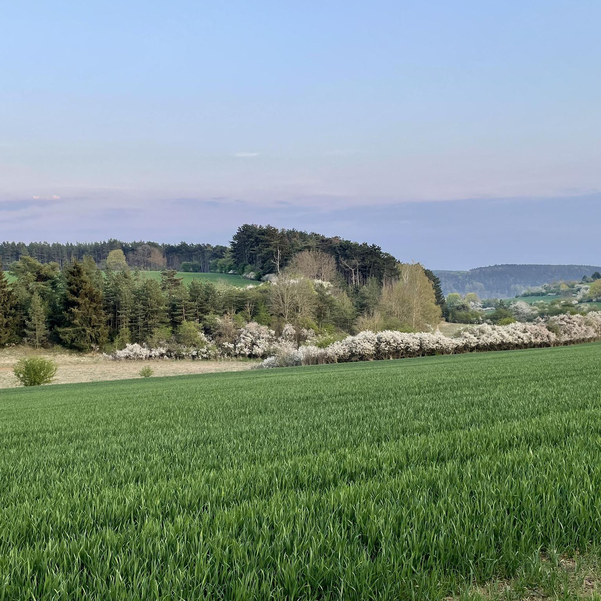
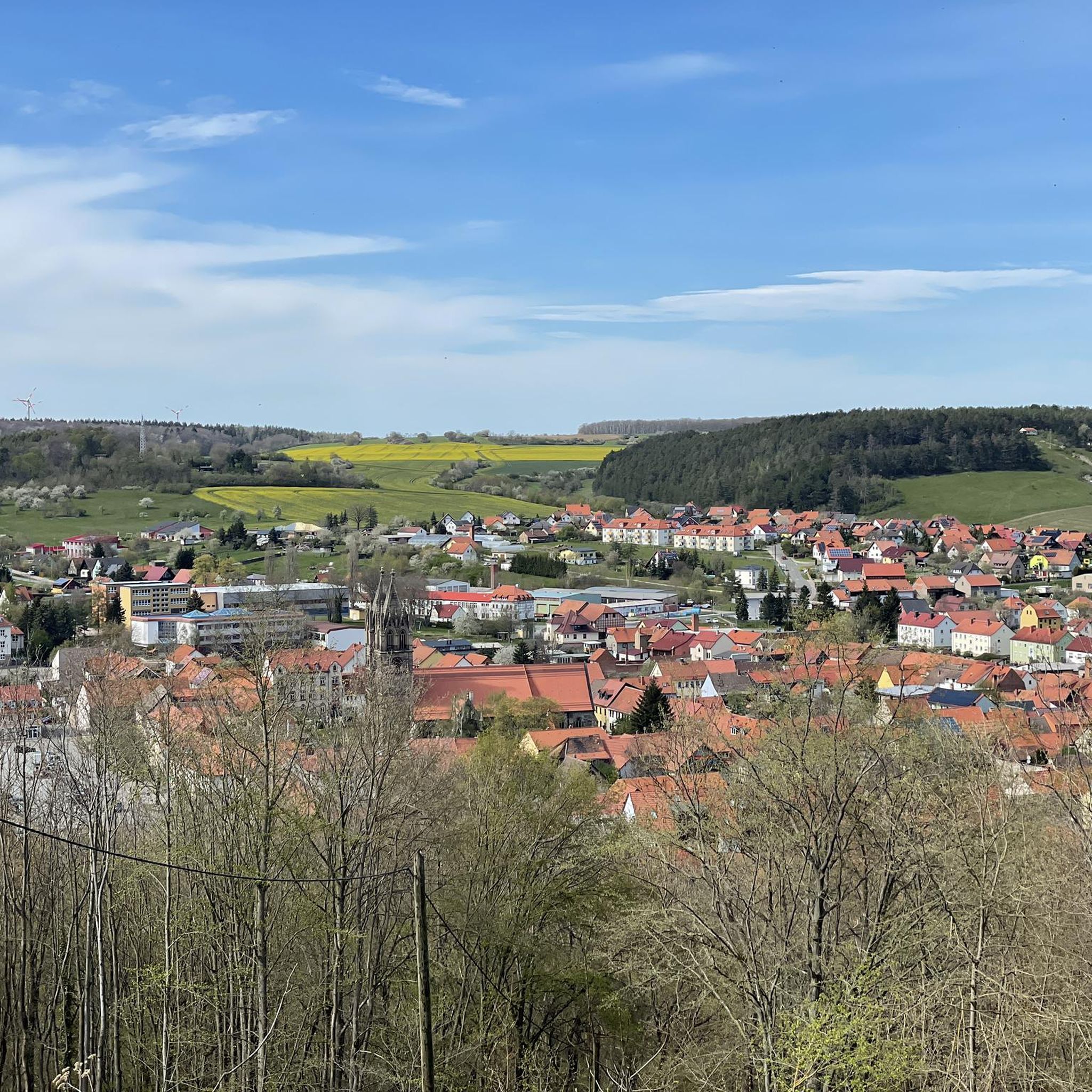
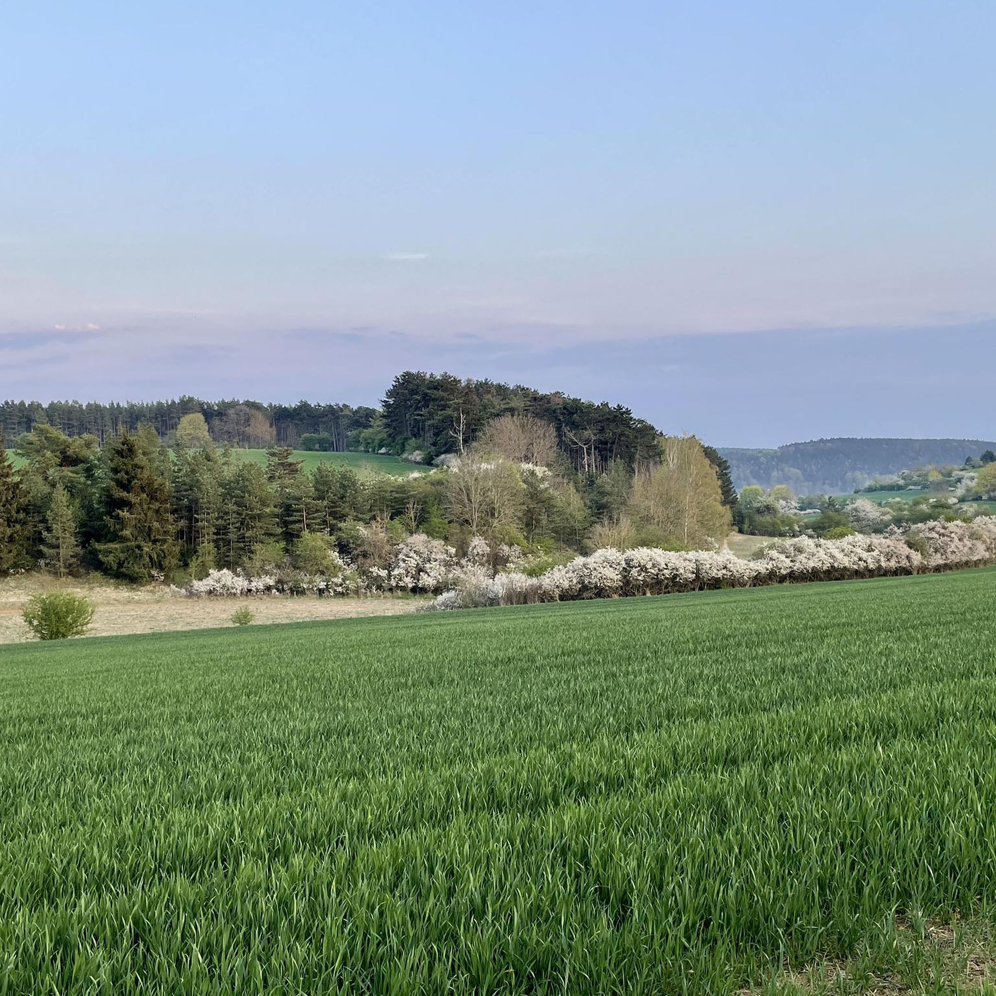
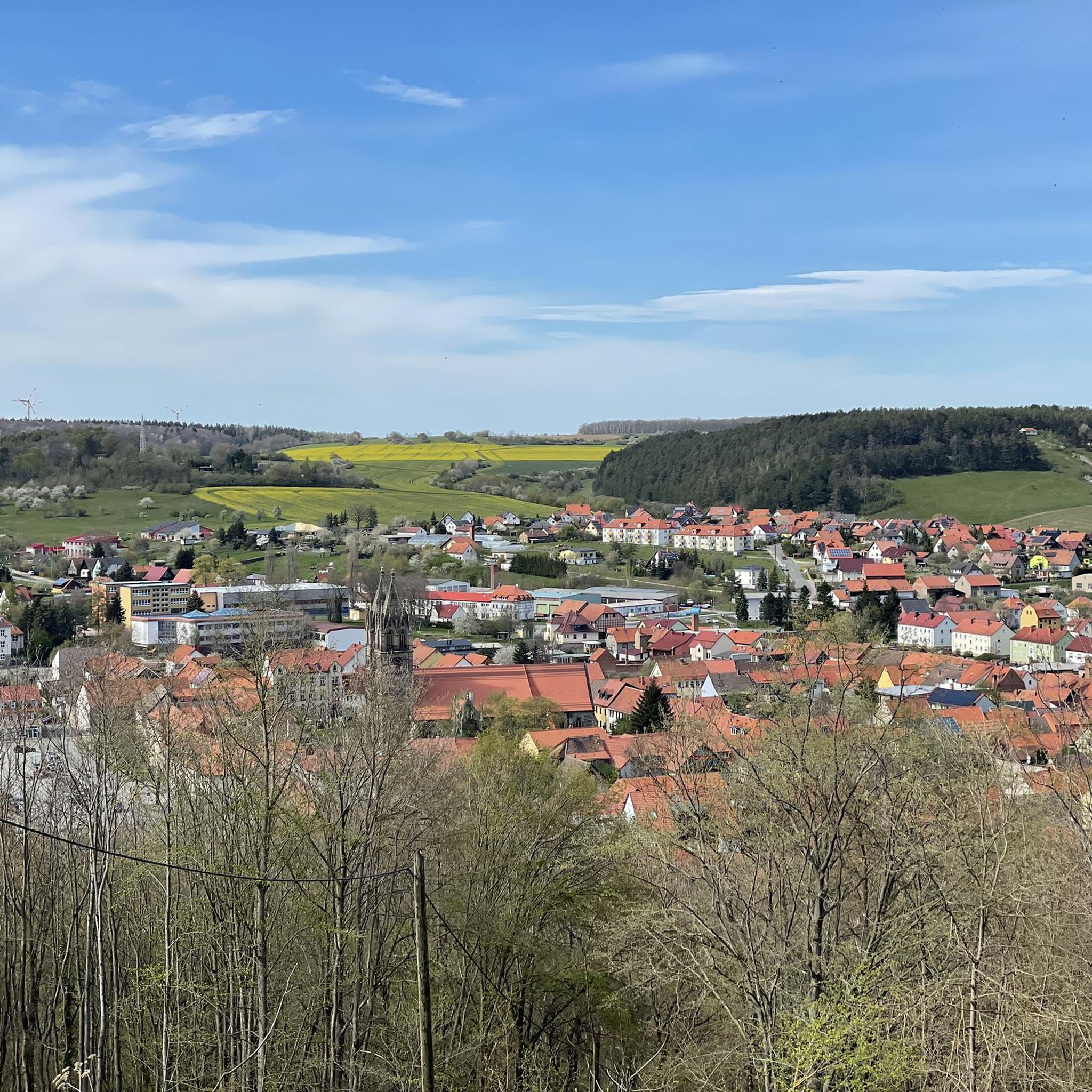
Road cycling routes around Stadtilm navigate a landscape characterized by picturesque hills, green forests, and the meandering Ilm River Valley. The region's terrain offers a mix of gentle, well-paved roads along the river and more challenging climbs towards the Thuringian Forest. This diverse topography provides varied road cycling experiences, from relaxed rides to routes with significant elevation gain.
Best road cycling routes around Stadtilm
- The most popular road cycling route is Ilmenau–Langewiesen Cycle Path – View of the Ilmtal Bridge…
Last updated: June 27, 2026
4.6
(27)
193
riders
Moderate road ride. Great for any fitness level. Some segments of this route may be unpaved and difficult to ride.
22
riders
Moderate road ride. Good fitness required. Some segments of this route may be unpaved and difficult to ride.

Sign up for free
5.0
(2)
15
riders
23.9km
01:02
80m
80m
Moderate road ride. Great for any fitness level. Some segments of this route may be unpaved and difficult to ride.
5.0
(2)
13
riders
34.5km
01:31
270m
270m
Moderate road ride. Great for any fitness level. Some segments of this route may be unpaved and difficult to ride.
12
riders
Moderate road ride. Great for any fitness level. Some segments of this route may be unpaved and difficult to ride.
Get access to more routes and recommendations from other explorers.
Sign up for free
Already have an account?
Our route recommendations are based on thousands of hikes, rides, and runs completed by other people on komoot.
Start today with a free account
Your next adventure awaits.
Login or Signup

Tips from the Community

A wonderful section of the cycle path where you'll gladly take advantage of such a well-maintained rest area.
0
0

A market square in Stadtilm worth visiting. The milk bar is highly recommended. 😄
3
0

Ice cream parlor 🍨 is great the staff too
2
0

Freight trains avoid this route because it's too steep. Therefore, it's not profitable.
1
0
The viaduct has a total length of 201.30 meters, has 13 arches, and is 18 meters high. It was considered one of the largest railway bridges at the time. The keystone was laid on June 28, 1893, in the presence of the Princely Couple of Schwarzburg-Rudolstadt and other guests of honor.
1
0
A lively marketplace. The ice cream parlor and pizzeria is, of course, the highlight, ensuring that everyone enjoys stopping here.
2
0

Please keep the area clean 👍🏻
0
0

The viaduct was built between 1891 and 1893 during the construction of the Arnstadt Saalfeld railway line. It is 201.30 meters long and 18 meters high. The construction costs amounted to 425,000 marks. The viaduct is a massive stone arch bridge with 13 arches. The bridge is an impressive example of 19th century engineering.
12
1
Frequently Asked Questions
How many road cycling routes are available around Stadtilm?
There are over 10 road cycling routes around Stadtilm documented on komoot, offering a variety of experiences for different skill levels. The region's diverse topography provides options from relaxed rides to more strenuous climbs.
What kind of terrain can I expect on road cycling routes near Stadtilm?
The terrain around Stadtilm is quite varied. You'll find picturesque hills, green forests, and the meandering Ilm River Valley. Routes along the Ilm River often feature idyllic, well-paved roads with minimal traffic, while those closer to the Thuringian Forest can include more significant climbs and descents.
Are there easy road cycling routes suitable for beginners in Stadtilm?
Yes, Stadtilm offers easy road cycling routes, particularly along the Ilm River. The Oberilm Viaduct – Town Hall Gräfinau-Angstedt loop from Stadtilm is a moderate 14.9-mile (24.0 km) trail with relatively gentle elevation changes, making it a good option for those seeking a less strenuous ride.
Are there challenging road cycling routes for experienced cyclists?
For experienced cyclists seeking a challenge, the proximity to the Thuringian Forest offers routes with significant climbs and breathtaking views. While most routes directly from Stadtilm are moderate, the region provides access to more demanding terrain, including passes like the Rennsteig Pass.
What are some scenic landmarks or natural features I can see while road cycling in Stadtilm?
You can encounter several notable landmarks and natural features. The impressive Ilm Valley Viaduct (Stadtilm Viaduct) is a prominent architectural sight. Many routes also pass by the tranquil Ilm River Valley. The Heyda Reservoir is another beautiful natural area you might encounter on your rides.
Are there any circular road cycling routes around Stadtilm?
Many of the road cycling routes around Stadtilm are designed as loops, allowing you to start and end in the same location. An example is the Ilmenau–Langewiesen Cycle Path – View of the Ilmtal Bridge loop from Stadtilm, a 29.1-mile (46.8 km) route that offers scenic views and returns to Stadtilm.
What do other road cyclists enjoy the most about road cycling in Stadtilm?
The road cycling routes in Stadtilm are highly rated by the komoot community, with an average score of 4.8 stars. Reviewers often praise the varied terrain, from gentle riverside paths to more challenging climbs, and the picturesque landscapes of the Ilm River Valley and the Thuringian Forest.
Can I find routes that combine cycling with cultural stops?
Absolutely. The region's routes often pass by historical sites. For instance, the View of the Ilmtal Bridge – Kleinhettstedt Mustard Mill loop from Stadtilm combines scenic bridge views with a visit to the historic Kleinhettstedt Mustard Mill, offering a blend of cycling and local culture.
Are there any routes that offer views of reservoirs or lakes?
Yes, some routes will take you near beautiful water bodies. The area around the Heyda Reservoir is a known recreational area, and you can find routes that pass by or offer views of this tranquil lake, such as the Ilm Weir Stadtilm – Stadtilm City Wall loop from Stadtilm.
What is the best time of year for road cycling in Stadtilm?
Spring and summer generally offer the most pleasant weather for road cycling in Stadtilm, with mild temperatures ideal for exploring the Thuringian landscape. The lush greenery during these seasons also enhances the scenic beauty of the routes.
Are there options for longer road cycling tours from Stadtilm?
Stadtilm serves as an excellent starting point for longer tours due to its connectivity to several long-distance cycling routes. The Ilmtal Cycle Path, for example, links to the Thuringian City Chain long-distance cycle path, allowing for extended journeys to cities like Weimar and Erfurt.
Can I find routes that include stops for refreshments?
Many routes in and around Stadtilm pass through villages or towns where you can find cafes or restaurants. The Eiscafé-Pizzeria San Marco – Kleinhettstedt Mustard Mill loop from Stadtilm, for example, suggests a starting point near a cafe, and the region has numerous rest areas along popular paths like the Ilmtal Cycle Path.
Most popular routes around Stadtilm
Most popular attractions around Stadtilm

Get inspired with the komoot mobile app


Explore more
Browse the best Road cycling routes in other regions.
