The best road cycling routes around Stadel
4.5
(638)
10,914
riders
215
rides
Road cycling around Stadel, particularly in the Zurich canton of Switzerland, offers diverse terrain suitable for various fitness levels. The region features mostly paved surfaces, making it ideal for road cyclists. Routes often traverse varied landscapes, including areas with serene lakes and picturesque villages. The elevation gains are generally moderate, providing engaging rides without extreme alpine challenges.
Best road cycling routes around Stadel
- The most popular road cycling route is View of Regensberg – Regensberg loop from Glattfelden, a…
Last updated: August 18, 2026
3.5
(2)
96
riders
54.4km
02:28
490m
490m
Moderate road ride. Good fitness required. Some segments of this route may be unpaved and difficult to ride.
4.5
(13)
263
riders
Moderate road ride. Good fitness required. Some segments of this route may be unpaved and difficult to ride.

Sign up for free
4.3
(3)
37
riders
52.5km
02:23
540m
540m
Moderate road ride. Good fitness required. Mostly well-paved surfaces and easy to ride.
5.0
(6)
34
riders
21.2km
00:57
230m
230m
Easy road ride. Great for any fitness level. Mostly well-paved surfaces and easy to ride.
4.0
(1)
27
riders
Moderate road ride. Good fitness required. Mostly well-paved surfaces and easy to ride.
Get access to more routes and recommendations from other explorers.
Sign up for free
Already have an account?
Our route recommendations are based on thousands of hikes, rides, and runs completed by other people on komoot.
Start today with a free account
Your next adventure awaits.
Login or Signup
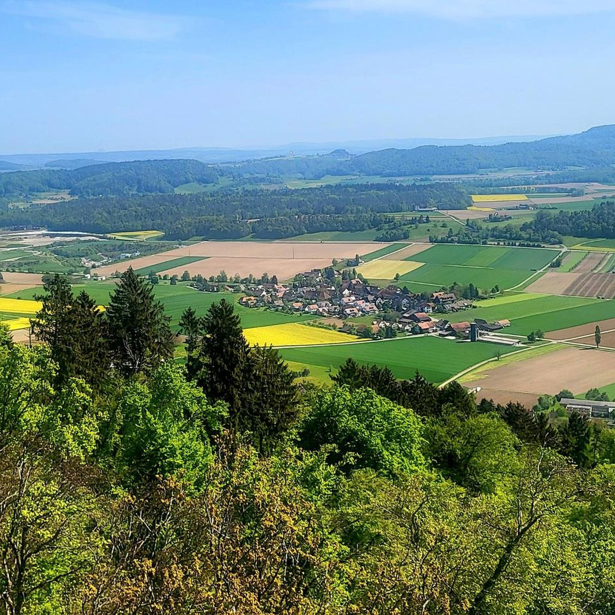
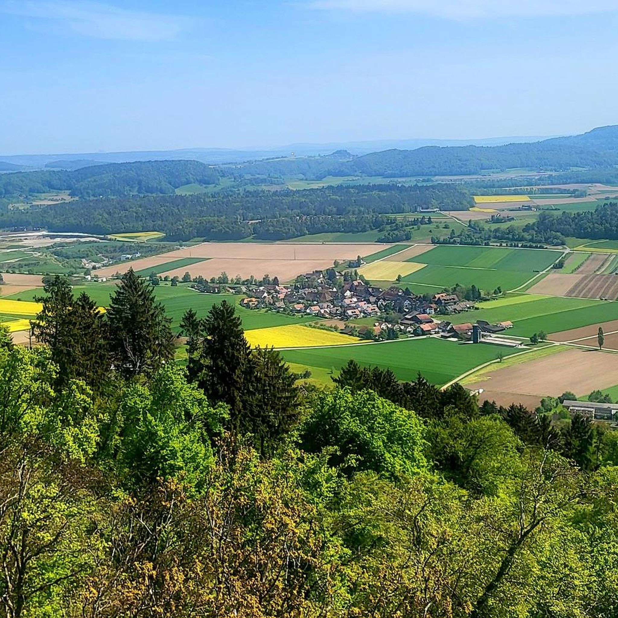

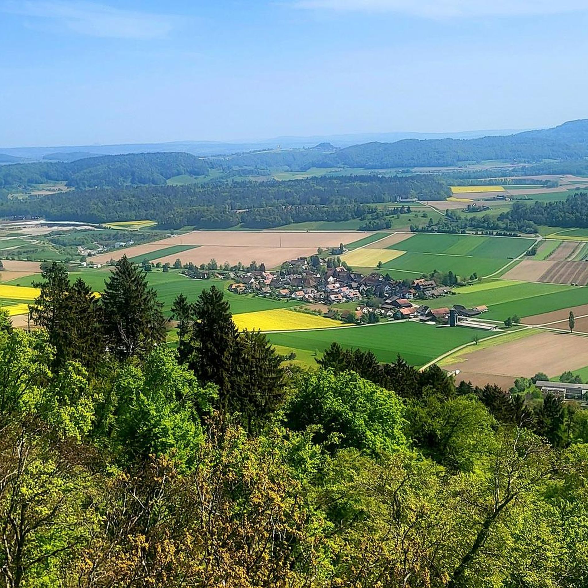
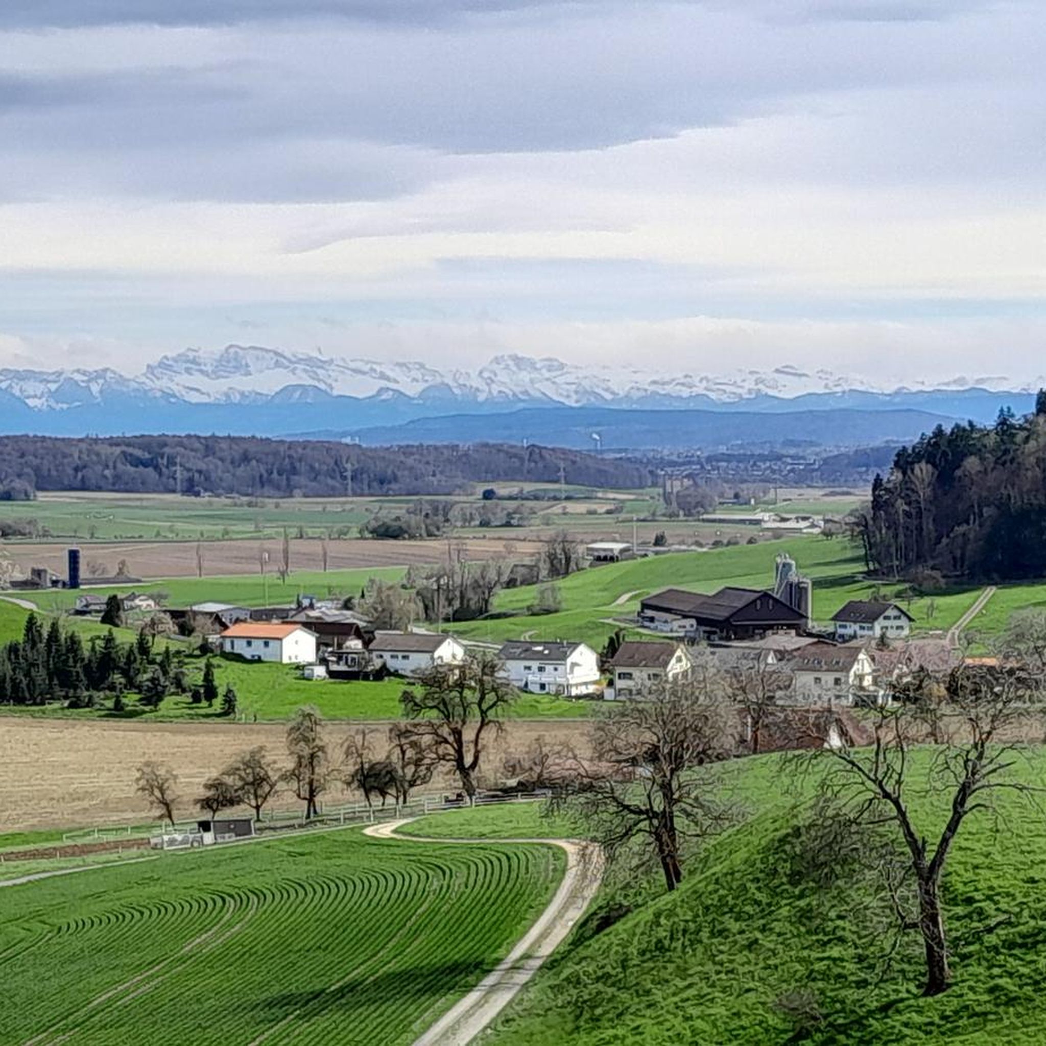
Tips from the Community


Great little town with lots of young
0
1


Here you have very beautiful views of the Rhine and the town
0
0
From above the banks of the Rhine you have a wonderful view of the river
0
0
100% Absolutely top route, very nice to drive
0
0
Frequently Asked Questions
How many road cycling routes are available around Stadel?
There are over 220 road cycling routes available around Stadel, offering a wide variety of options for different fitness levels and preferences. The region is well-regarded for its diverse and well-maintained routes.
What kind of terrain can I expect when road cycling near Stadel?
Road cycling around Stadel, particularly in the Zurich canton of Switzerland, features mostly paved surfaces ideal for road bikes. You can expect varied landscapes, including serene river valleys, picturesque villages, and engaging routes with moderate elevation gains. The broader Swiss landscape also offers pristine Alpine vistas and beautiful lakes.
Are there routes suitable for beginners or those looking for an easy ride?
Yes, Stadel offers several easy road cycling routes. For instance, the Upper Tower Kaiserstuhl – Upper Tower, Kaiserstuhl loop from Bezirk Dielsdorf is an easy 13.1-mile (21.2 km) path, perfect for a relaxed ride. In total, there are 35 easy routes to choose from.
What about more challenging road cycling routes in the Stadel area?
For those seeking a challenge, Stadel also provides routes demanding very good fitness. While specific challenging routes are not detailed here, the region offers 54 difficult routes with significant elevation gains, providing a robust workout amidst stunning scenery.
What is the typical length and elevation gain of road cycling routes around Stadel?
The routes around Stadel vary in length and elevation. For example, the View of Regensberg – Regensberg loop from Glattfelden is 34.5 miles (55.6 km) with about 500 meters of elevation gain. Another route, the Upper Tower, Kaiserstuhl – Hegsten Bridge Over the Glatt loop from Glattfelden, covers 40.2 miles (64.6 km) with over 800 meters of elevation gain, offering a good mix of distance and climbing.
What do other cyclists say about road cycling in Stadel?
The road cycling routes in Stadel are highly rated by the komoot community, with an average score of 4.6 stars from over 500 reviews. Cyclists often praise the varied terrain, the well-maintained paved surfaces, and the picturesque landscapes that make for an unforgettable riding experience.
Are there scenic viewpoints or natural features to see along the routes?
Yes, the Stadel region offers numerous scenic viewpoints and natural features. Many routes traverse areas with serene lakes and picturesque villages. You might also encounter historic sites like Kaiserstuhl Castle and Bridge or the Regensberg Castle and Historic Village, which add to the scenic beauty of your ride.
Are there any historical landmarks or castles accessible by road bike near Stadel?
Absolutely. The Stadel area is rich in historical landmarks. Cyclists can explore sites such as Kaiserstuhl Castle and Bridge, Regensberg Castle and Historic Village, or the ruins of Küssaburg Castle. These provide interesting stops and beautiful backdrops for your road cycling adventures.
Are there any circular road cycling routes available?
Yes, many of the road cycling routes around Stadel are designed as loops, allowing you to start and end at the same point. Examples include the Upper Tower Kaiserstuhl – Upper Tower, Kaiserstuhl loop from Glattfelden and the Eglisau Rhine Bridge – Rheinau Covered Bridge loop from Zweidlen, which takes you through the Rhine river valley.
What is the best time of year for road cycling in Stadel?
The best time for road cycling in Stadel is generally during the warmer months, from spring through autumn. During these seasons, the weather is more favorable, and the scenic landscapes are at their most vibrant. It's always a good idea to check local weather conditions before heading out.
Is public transport available to access road cycling routes in Stadel?
While specific public transport connections to route starting points are not detailed here, the region around Stadel in Switzerland is generally well-connected. Many routes start from towns like Glattfelden or Zweidlen, which often have public transport access, making it convenient to reach your desired starting point.
Are there any cafes or places to stop for refreshments along the road cycling routes?
The picturesque villages and towns along the road cycling routes in Stadel often feature local cafes and restaurants where you can stop for refreshments. Exploring these charming stops can be a delightful part of your cycling experience, allowing you to refuel and enjoy the local atmosphere.
Most popular attractions around Stadel

Get inspired with the komoot mobile app


Explore more
Browse the best Road cycling routes in other regions.
