The best road cycling routes around Silanos/Silanus
4.2
(5)
150
riders
6
rides
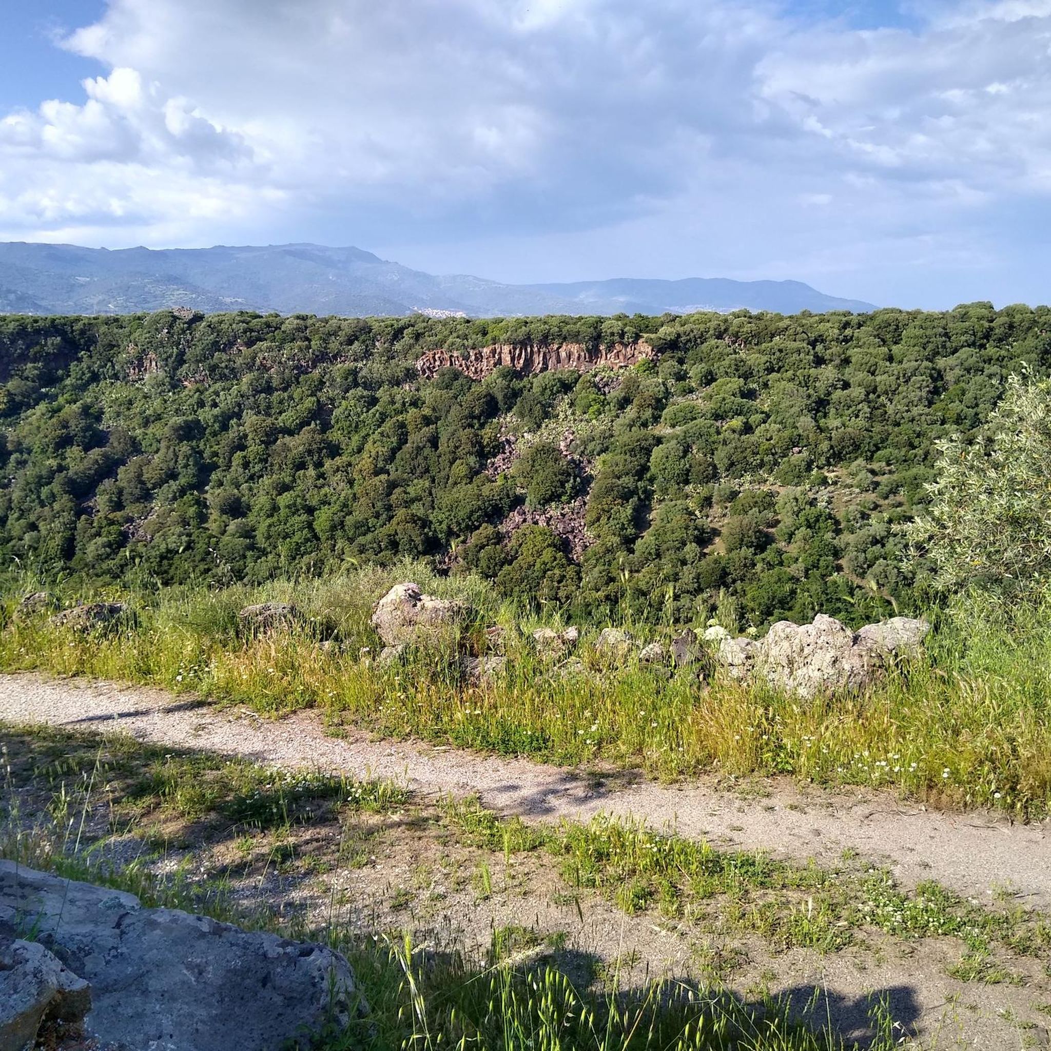
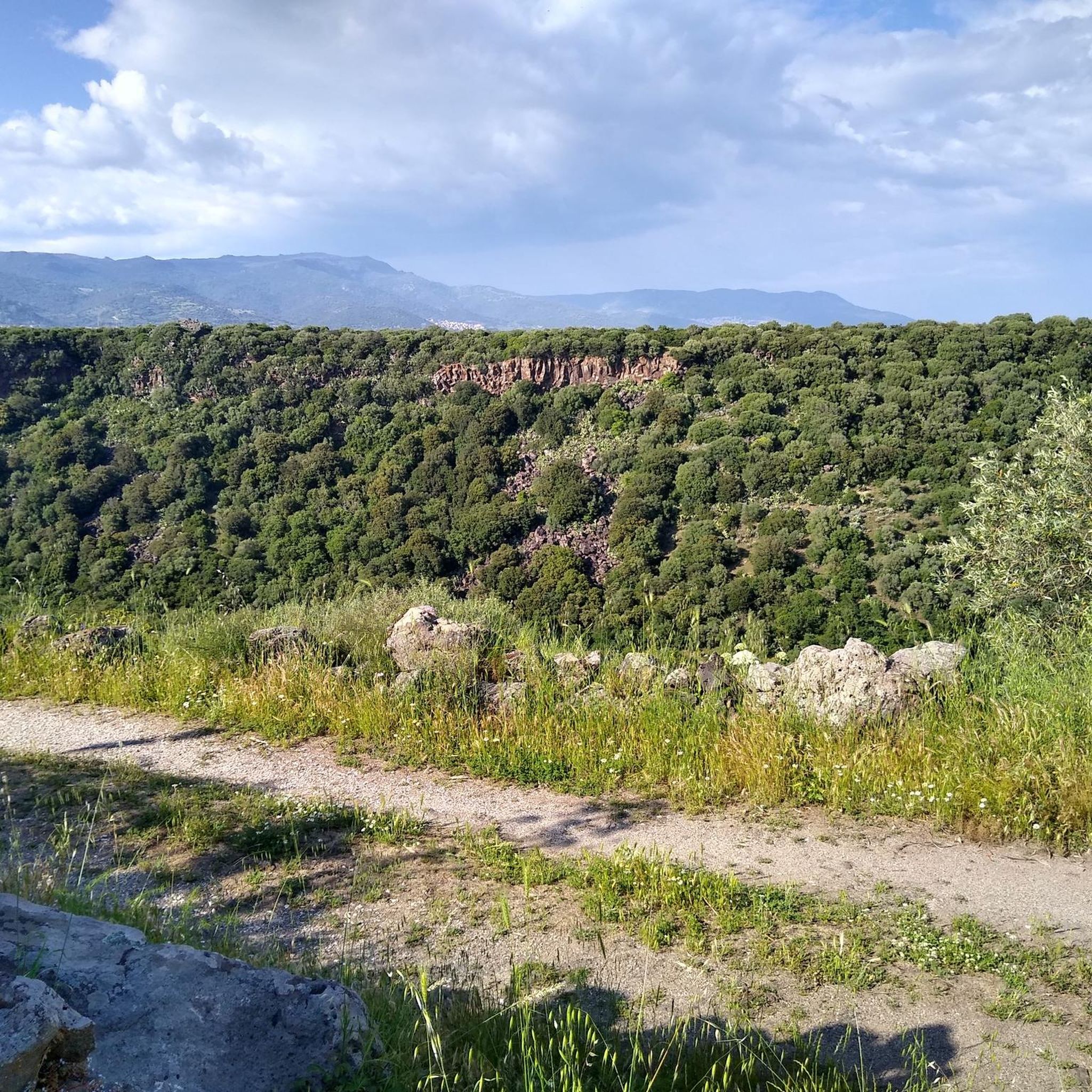
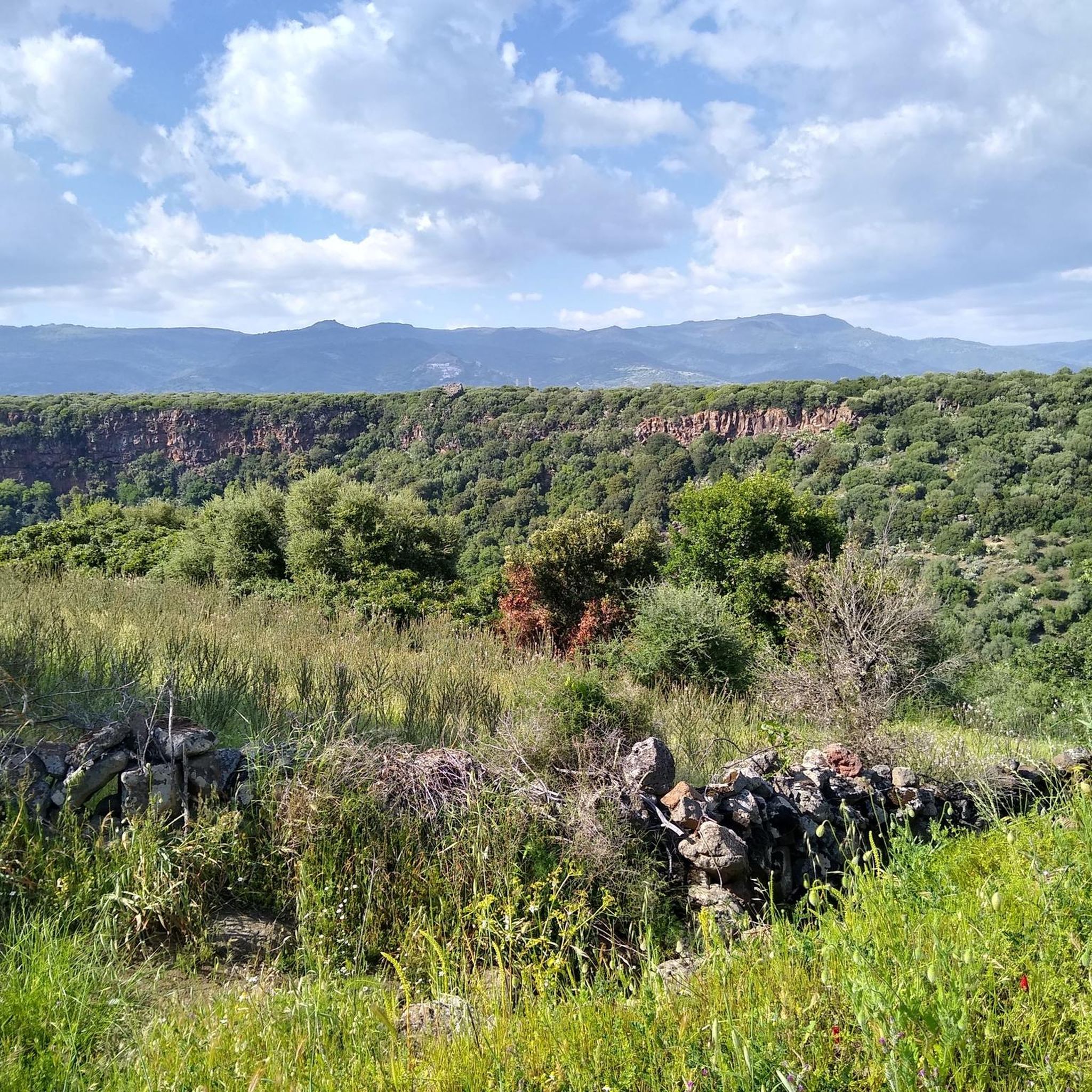
Road cycling routes around Silanos/Silanus traverse the central Sardinian landscape, characterized by rolling hills and valleys within the Marghine region. The area features a mix of agricultural lands and historical sites, offering varied terrain for road cyclists. Routes often connect small towns and provide views of the island's interior. The elevation changes are moderate to challenging, suitable for different fitness levels.
Best road cycling routes around Silanos/Silanus
- The most popular road cycling route is From Macomer to Tinnura for the Nuragic site of Tamuli — ring tour, a 33.5 miles (53.9 km) trail that takes 2 hours 32 minutes to complete. This moderate route includes a visit to the ancient Nuragic site of Tamuli.
- Another top favourite among local road cyclists is Ring tour in the subregion of Màrghine from Macomer, a moderate 37.4 miles (60.1 km) path. This route explores the diverse scenery of the Marghine subregion, featuring a mix of rural roads and small villages.
- Local road cyclists also love the Cuglieri view with Basilica – Fontana Sa Preda 'Lada loop from Macomer, a 43.7 miles (70.3 km) trail leading through the hills towards Cuglieri, often completed in about 3 hours 31 minutes. This difficult route offers panoramic views and passes by the Basilica.
- Road cycling around Silanos/Silanus is defined by rolling hills, historical sites, and the rural landscapes of the Marghine region. The network offers options for moderate to difficult ability levels.
- The routes in Silanos/Silanus are highly rated by the komoot community with an average score of 4.3 stars from over 4 reviews. More than 160 road cyclists have used komoot to explore Silanos/Silanus's varied terrain.
Last updated: July 4, 2026
12
riders
53.9km
02:33
670m
670m
Moderate road ride. Good fitness required. Mostly well-paved surfaces and easy to ride.
5
riders
60.1km
02:40
580m
580m
Moderate road ride. Good fitness required. Mostly well-paved surfaces and easy to ride.

Sign up for free
5.0
(2)
35
riders
70.5km
03:31
1,150m
1,150m
Hard road ride. Very good fitness required. Mostly well-paved surfaces and easy to ride.
4.5
(2)
16
riders
93.1km
04:36
1,350m
1,350m
Hard road ride. Very good fitness required. Mostly well-paved surfaces and easy to ride.
14
riders
72.1km
03:24
940m
940m
Hard road ride. Very good fitness required. Mostly well-paved surfaces and easy to ride.
Our route recommendations are based on thousands of hikes, rides, and runs completed by other people on komoot.
Start today with a free account
Your next adventure awaits.
Login or Signup

Tips from the Community

Make sure you check opening times as it will be closed most of the time off season
0
0

First stretch of the very scenic road that connects Bosa to Montresta
0
0
Mural dedicated to Sardinian women, by Pina Monne
1
0
Beautiful mural depicting various professions of village life
1
0
Mural by the Alghero art high school
1
0
A series of beautiful murals by the artist Pina Monne
1
0
View of nuraghe Ruju, which can be accessed (not by racing bike) by following the road towards the polyclinic. The nuraghe overlooks the Necropolis of Filigosa https://it.wikipedia.org/wiki/Necropoli_di_Filigosa
2
0

A town of about 2,500 inhabitants in the province of Oristano, Cuglieri stands on the ruins of the Phoenician-Punic city of Cornus and is today well known for the production of high quality olive oil. Of particular beauty in the municipal territory is the Cabu Nieddu waterfall, at the end of which the water ends up directly in the sea.
0
0
Frequently Asked Questions
What kind of terrain can I expect on road cycling routes around Silanos/Silanus?
The road cycling routes in the Silanos/Silanus area traverse the central Sardinian landscape, characterized by rolling hills and valleys within the Marghine region. You'll find a mix of agricultural lands, olive groves, and orchards, with routes that connect small towns and offer panoramic views of the island's interior. The elevation changes range from moderate to challenging, catering to different fitness levels.
Are there road cycling routes suitable for beginners or those looking for an easier ride?
While the region offers routes with moderate to challenging elevation changes, there are options suitable for various skill levels. For instance, the From Macomer to Tinnura for the Nuragic site of Tamuli — ring tour is a moderate 53.9 km route with 674 meters of elevation gain, offering a balanced ride. Another moderate option is the Ring tour in the subregion of Màrghine from Macomer, covering 60.1 km with 583 meters of ascent.
What are some challenging road cycling routes for experienced riders?
Experienced road cyclists looking for a challenge will find several difficult routes. The Arco di S'Archittu – Promontory of the Whale loop from Macomer is a demanding 97.8 km route with nearly 1,400 meters of elevation gain. Another difficult option is the Cuglieri view with Basilica – Fontana Sa Preda 'Lada loop from Macomer, which spans 70.3 km and features over 1,150 meters of climbing, offering panoramic views.
What historical sites can I see along road cycling routes in Silanos/Silanus?
The region around Silanos/Silanus is rich in historical and archaeological sites. Many routes pass by ancient Nuragic structures, such as the Nuragic site of Tamuli, which you can visit on the From Macomer to Tinnura for the Nuragic site of Tamuli — ring tour. Other notable sites in the area include the Sacred Spring of Su Lumarzu and various Giants' Tombs like the Tomb of the Giants of Imbertighe, offering glimpses into Sardinia's ancient past.
Are there any scenic viewpoints or natural features to discover while cycling?
Yes, the routes often provide stunning natural beauty. You can cycle towards areas offering panoramic views, such as those found on the Cuglieri view with Basilica – Fontana Sa Preda 'Lada loop from Macomer. The region is characterized by mountain vistas and forested areas. For specific natural highlights, consider visiting Punta Palai or the Riu Ilde Waterfall, which are accessible from the area.
What do other road cyclists say about the routes in Silanos/Silanus?
The road cycling routes around Silanos/Silanus are highly regarded by the komoot community, holding an average rating of 4.3 stars from over 4 reviews. Cyclists often praise the varied terrain, the blend of rural landscapes with historical sites, and the options available for both moderate and challenging rides.
When is the best time of year for road cycling in Silanos/Silanus?
Sardinia generally offers favorable cycling conditions for much of the year. Spring (April-May) and Autumn (September-October) are often considered ideal, with pleasant temperatures and less crowded roads. Summer can be hot, especially in July and August, so early morning rides are recommended during these months. Winter offers milder temperatures compared to northern Europe, making it a viable option for dedicated cyclists.
Are there any circular road cycling routes available?
Yes, many of the road cycling routes in the Silanos/Silanus area are designed as circular tours, allowing you to start and end in the same location. Examples include the From Macomer to Tinnura for the Nuragic site of Tamuli — ring tour and the Ring tour in the subregion of Màrghine from Macomer, both starting from Macomer.
Can I find places to eat or stay that are cyclist-friendly in the Silanos/Silanus area?
The towns and villages throughout the Marghine region, including Silanus and Macomer, offer various amenities. While specific cyclist-friendly establishments aren't detailed in the route information, you can expect to find local cafes, restaurants, and accommodation options. It's always a good idea to check in advance for services catering specifically to cyclists, such as secure bike storage.
What is the longest road cycling route in the Silanos/Silanus area?
The longest road cycling route currently featured in this guide is the Arco di S'Archittu – Promontory of the Whale loop from Macomer. This challenging route covers a distance of 97.8 kilometers (approximately 60.8 miles) and includes significant elevation gain, making it suitable for experienced riders seeking a longer endurance ride.
Most popular routes around Silanos/Silanus
Most popular attractions around Silanos/Silanus

Get inspired with the komoot mobile app


Explore more
Browse the best Road cycling routes in other regions.
