The best road cycling routes around Arrone
4.7
(222)
3,695
riders
101
rides
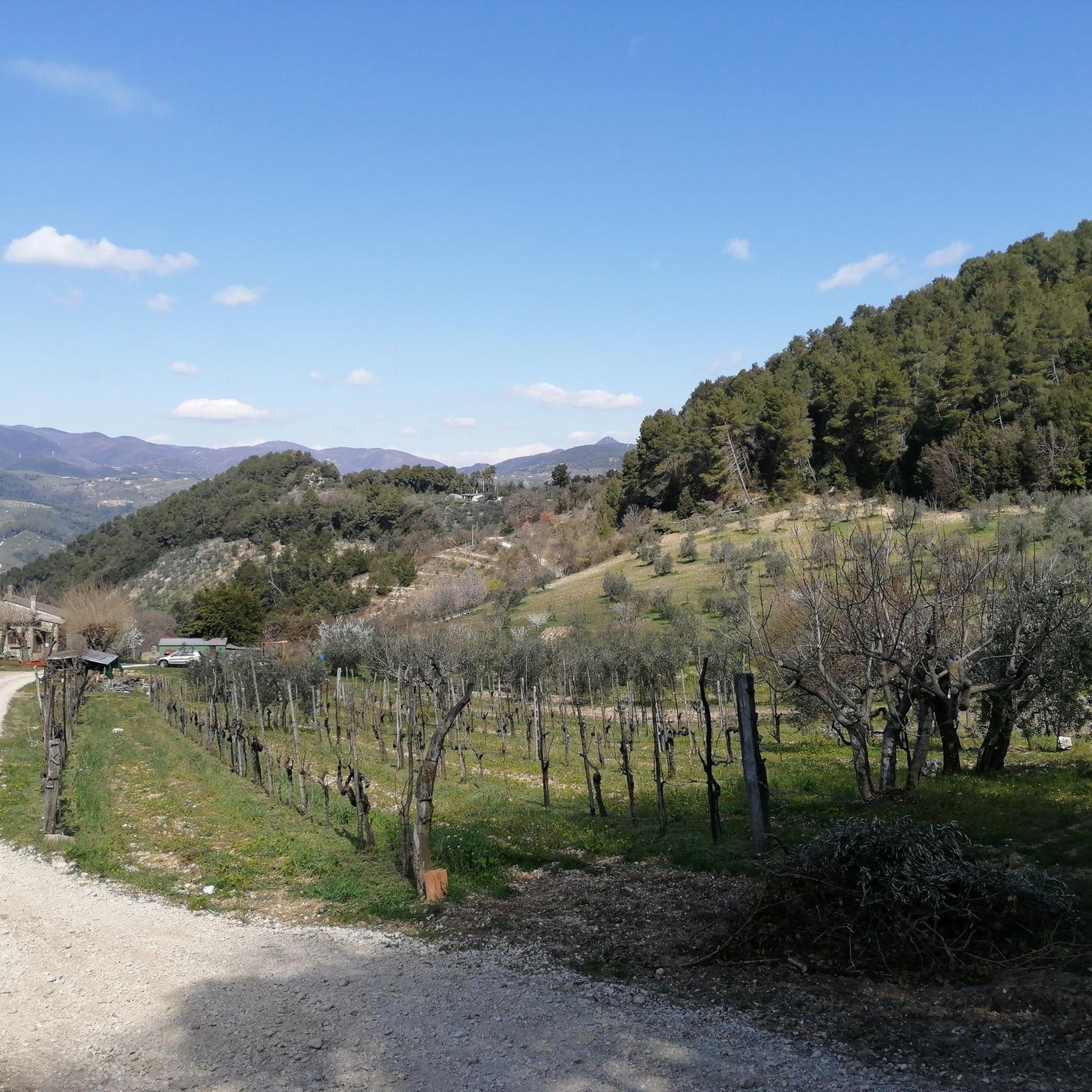
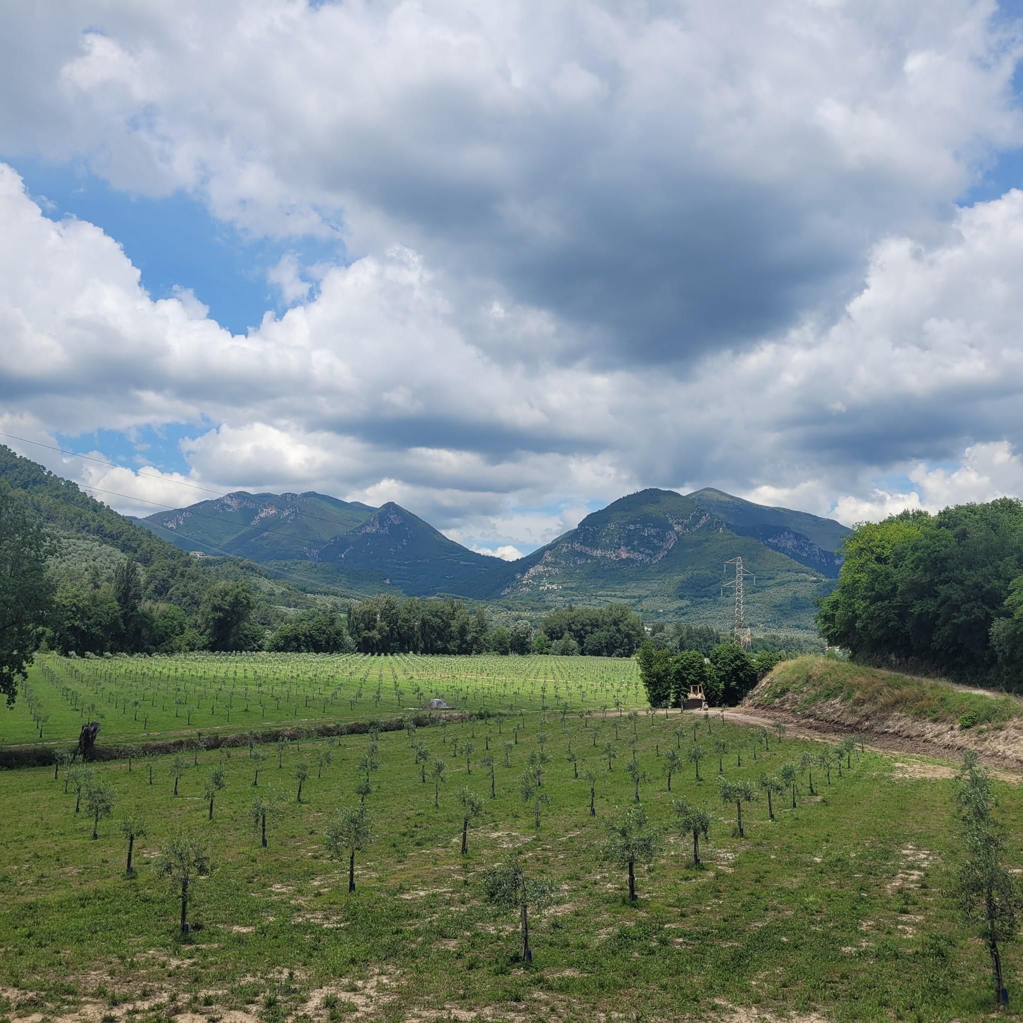
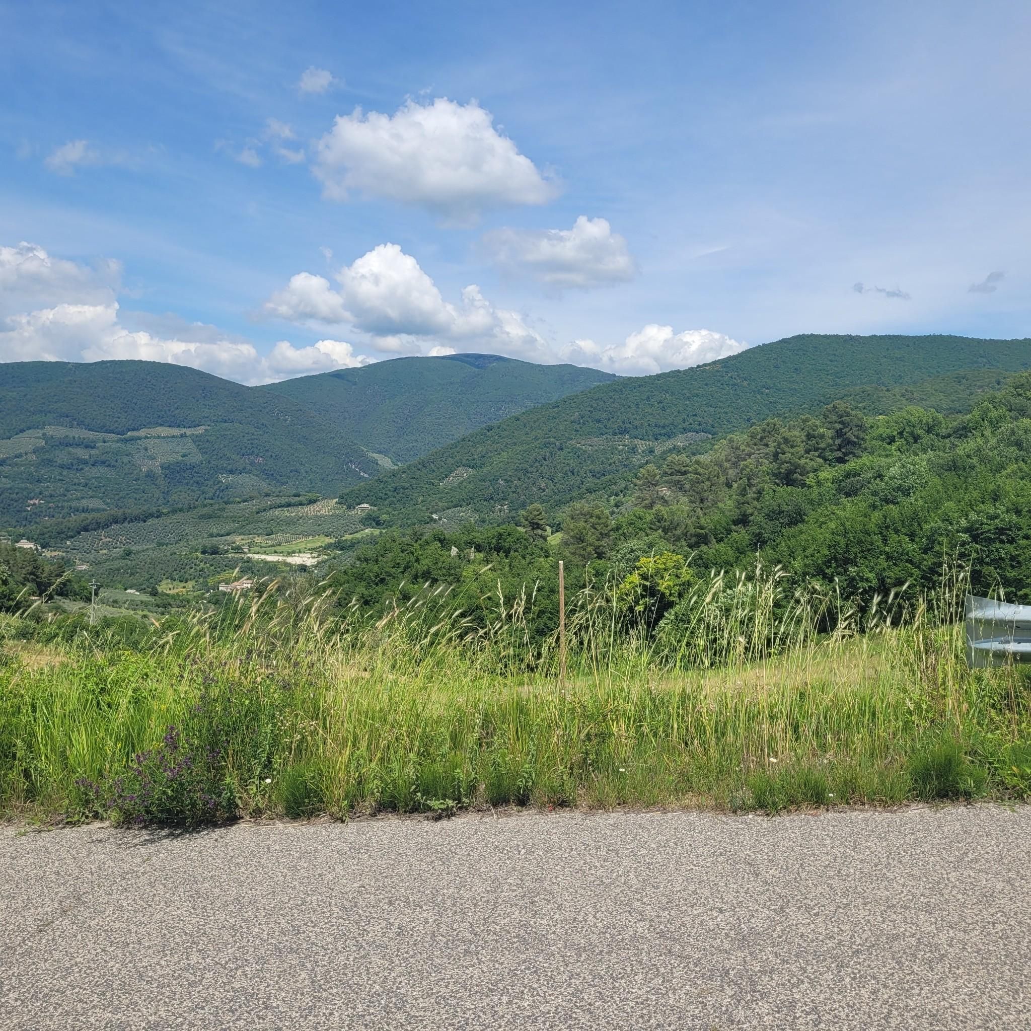
Road cycling routes around Arrone traverse the Valnerina, a region characterized by its river valleys, historic villages, and the surrounding Apennine foothills. The terrain features a mix of rolling hills and more challenging mountain passes, providing varied elevation profiles for road cyclists. This area offers routes that wind through forested landscapes and open countryside, often following the Nera River.
Best road cycling routes around Arrone
- The most popular road cycling route is In the heart of Valnerina – loop from…
Last updated: July 8, 2026
85
riders
98.2km
05:19
1,900m
1,900m
Hard road ride. Very good fitness required. Mostly well-paved surfaces and easy to ride.
5.0
(3)
143
riders
53.6km
02:30
670m
670m
Moderate road ride. Good fitness required. Mostly well-paved surfaces and easy to ride.

Sign up for free
4.8
(16)
147
riders
Moderate road ride. Good fitness required. Some segments of this route may be unpaved and difficult to ride.
5.0
(1)
27
riders
103km
06:05
2,520m
2,520m
Hard road ride. Very good fitness required. Mostly well-paved surfaces and easy to ride.
5.0
(3)
24
riders
20.5km
00:58
180m
180m
Easy road ride. Great for any fitness level. Mostly well-paved surfaces and easy to ride.
Get access to more routes and recommendations from other explorers.
Sign up for free
Already have an account?
Our route recommendations are based on thousands of hikes, rides, and runs completed by other people on komoot.
Start today with a free account
Your next adventure awaits.
Login or Signup

Tips from the Community

If you only view the waterfalls from the terrace, you don't need a rain cape. However, if you want to go to the upper part of the waterfall, it is advisable to buy one on-site (at the ticket office) or bring one with you.
1
0

sustained 10% climbing but lovely quite roads with little traffic
0
0

cuz b or ii b ii on ii or on k jo or on b or ird ii on iii or ok ok ii in ii
0
0

Municipality of the Terni Valnerina, crossed by the Nera river that divides it into two nuclei: Precetto and Matterella, both characterized by noble palaces, artistic churches and fan-shaped alleys. The imposing presence of the two fortresses that have dominated the town since 1100. Ferentillo hosts the museum of mummies and is also famous for the presence of important cliffs known and practiced by climbers from all over Europe
3
0
A small hamlet of Terni, on the border between the Terni basin and the Rieti plain, crossed by the Velino river, it gives its name to the homonymous waterfall. An almost obligatory passage if you are between Terni and Rieti
3
0
On the road that leads to Valnerina you can see Collestatte. The town is made up of an old part, on the top of a hill (351 m above sea level) and the new part, lower down, called Collestatte Piano, with a total of 397 inhabitants. Nice to see
2
0

what can I say, a suggestive place to see both for a day trip and for a short stay in the splendid Val Nerina
1
0

Nestled in the green woods of the province of Rieti, Lake Ventina is very small (its surface area is about 0.1 square kilometers) but very charming. It is located in the alluvial plain of the Conca Reatina and its maximum depth is 3.5 meters. It is possible to swim in it, but the lake is especially known for fishing.
0
0
Frequently Asked Questions
How many road cycling routes are available around Arrone?
Arrone offers a wide variety of road cycling routes, with over 90 tours available on komoot. These range from easy rides to challenging climbs, catering to all skill levels.
What kind of terrain can I expect when road cycling in Arrone?
The terrain around Arrone is diverse, featuring a mix of rolling hills and more challenging mountain passes within the Valnerina. Routes often follow the Nera River, winding through forested landscapes and open countryside, providing varied elevation profiles.
Are there road cycling routes suitable for beginners in Arrone?
Yes, Arrone has options for beginner road cyclists. There are 16 easy routes available, offering a gentler introduction to the region's beautiful scenery without excessive elevation gain.
Where can I find challenging road bike climbs for experienced riders?
Experienced riders looking for a challenge will find plenty of options, with 40 difficult routes around Arrone. For instance, the route In the heart of Valnerina – loop from Ferentillo covers 61 miles (98.2 km) with significant elevation gain, exploring the core of the Valnerina.
Are there any circular road cycling routes around Arrone?
Many of the road cycling routes in Arrone are designed as loops, allowing you to start and finish in the same location. An example is the moderate Forca di Arrone Pass – Arrone Historic Village loop from Marmore, which includes the Forca di Arrone Pass and passes through the historic village of Arrone.
What are some scenic viewpoints or attractions along the road cycling routes?
Road cycling routes in Arrone often pass by stunning natural and historical sites. You can find breathtaking views at View of Terni and Valnerina from Passo della Somma, or visit the impressive Marmore Falls. The area also features Lake Piediluco and historic mountain passes like Forca di Arrone.
What is the best time of year for road cycling in Arrone?
The spring and autumn months generally offer the most pleasant conditions for road cycling in Arrone, with milder temperatures and beautiful scenery. Summers can be hot, especially in the valleys, while winters may bring colder temperatures and occasional rain or snow at higher elevations.
Are there routes that pass through historic villages or offer opportunities for breaks?
Yes, many routes are designed to take you through charming historic villages, providing opportunities for breaks and refreshments. For instance, the route Colli Sul Velino Hills – Forca di Arrone Pass loop from Ferentillo passes through the Colli Sul Velino Hills and near Ferentillo, where you can find local amenities.
How do other road cyclists rate the routes in Arrone?
The road cycling routes in Arrone are highly rated by the komoot community, with an average score of 4.6 stars from over 160 reviews. Cyclists often praise the varied terrain, the scenic beauty of the Valnerina, and the well-maintained paths.
Can I download GPX tracks for road cycling routes in Arrone?
Yes, all road cycling routes available on komoot for the Arrone region come with downloadable GPX tracks. This allows you to easily navigate the routes using your GPS device or smartphone.
Are there any long-distance road cycling routes for multi-day tours?
While many routes are day trips, some longer options like Arrone Historic Village – Forca di Arrone Pass loop from San Liberatore, at nearly 75 miles (120 km) with significant elevation, can be incorporated into multi-day plans or offer a full day's challenge for experienced riders.
Most popular attractions around Arrone

Get inspired with the komoot mobile app


Explore more
Browse the best Road cycling routes in other regions.
