The best running trails around Monteleone Di Spoleto
5.0
(2)
47
runners
8
runs
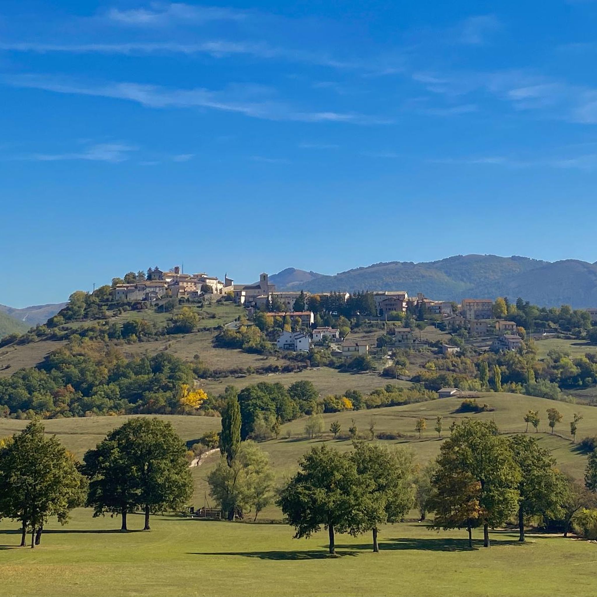
Jogging routes around Monteleone Di Spoleto navigate a landscape characterized by rolling hills, forested valleys, and historical villages in the Umbrian Apennines. The region, situated within the Coscerno-Aspra Natural Park, offers varied terrain with a mix of ascents and descents, providing invigorating high-altitude training opportunities. Paths wind through woodlands and open countryside, with the Corno River Valley offering flatter sections and scenic vistas. Elevations typically range from moderate to challenging, providing diverse running experiences amidst natural features like dense forests…
Last updated: July 8, 2026
2
runners
9.12km
01:39
660m
660m
Hard run. Very good fitness required. Sure-footedness, sturdy shoes and alpine experience required.
5.0
(1)
18
runners
18.1km
02:49
1,030m
1,030m
Hard run. Very good fitness required. Mostly paved surfaces. Suitable for all skill levels.

Sign up for free
8
runners
13.3km
01:36
300m
300m
Hard run. Very good fitness required. Mostly paved surfaces. Suitable for all skill levels.
5.0
(1)
4
runners
6.91km
00:45
110m
100m
Moderate run. Good fitness required. Mostly paved surfaces. Suitable for all skill levels.
6
runners
15.4km
01:38
190m
190m
Hard run. Very good fitness required. Mostly paved surfaces. Suitable for all skill levels.
Get access to more routes and recommendations from other explorers.
Sign up for free
Already have an account?
Our route recommendations are based on thousands of hikes, rides, and runs completed by other people on komoot.
Start today with a free account
Your next adventure awaits.
Login or Signup
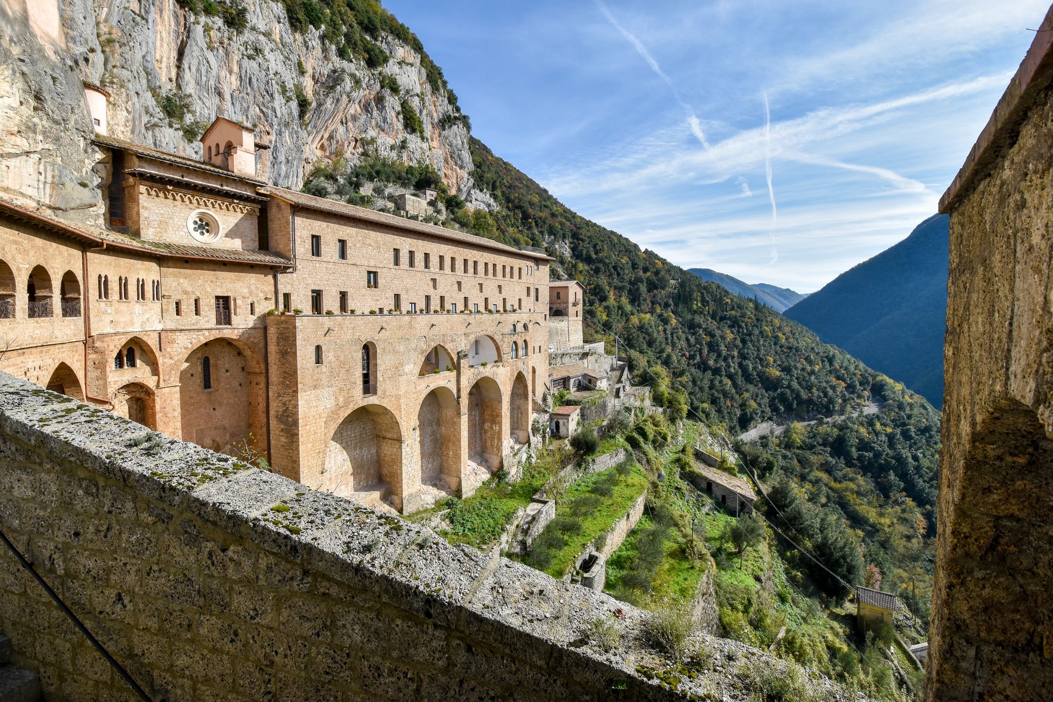
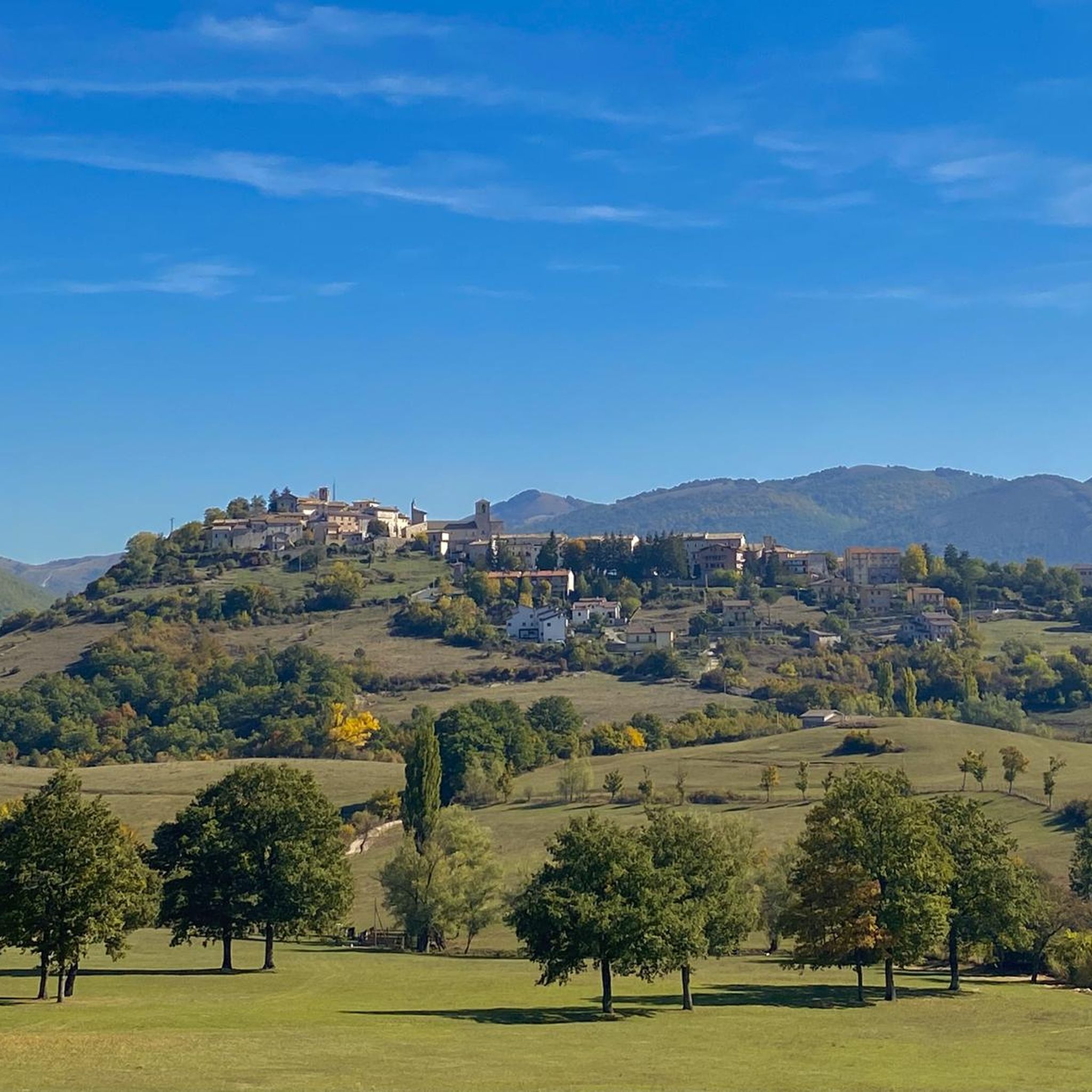
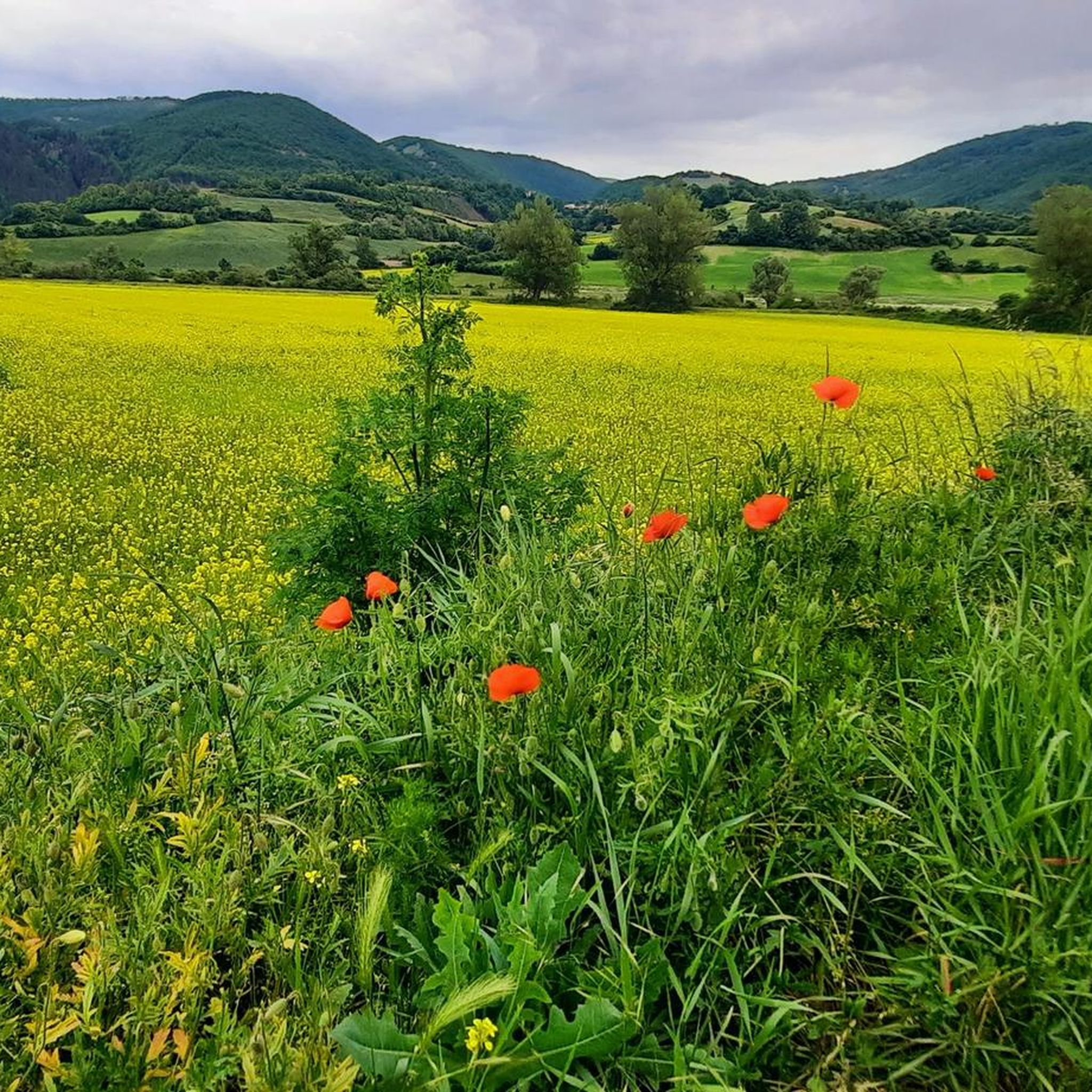
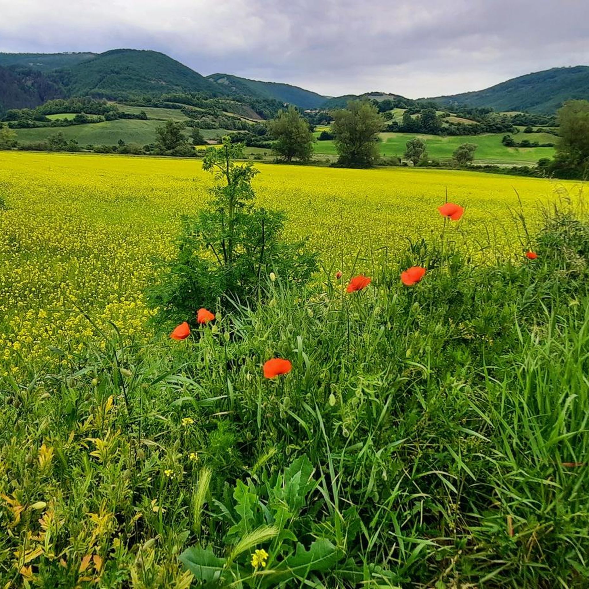
Other adventures around Monteleone Di Spoleto

Tips from the Community

The 40 m ascent and descent are somewhat underestimated. The altitude difference is 120 m, but with slow walking and not too hot weather, they are achievable even with less fitness.
0
0

Monastery and Basilica of Santa Rita da Cascia. This imposing religious complex dedicated to the Saint is certainly worth a visit. It is located along the Via di San Benedetto.
2
0

the little boy
0
0

Cascia was a highlight of our trip to Italy and the visit was a matter close to our hearts. Absolutely worth seeing!
1
0

View of Piazza VII Aprile with the Renaissance fountain located in the center of Piazza VII Aprile. It was commissioned by Ottavio Farnese, together with Margherita d'Austria in 1552, built by maestro Nicola De Joanni. It has an octagonal plan with a basin divided into four sides, embellished with coats of arms and ribbon elements. The central octagonal balustrade is decorated with coats of arms and dolphins, as well as masks.
0
0

Piazza di Leonessa which commemorates the Nazi massacre of 7 April 1944
0
0

along the former railway there is this wonderful cycle path
0
0

spectacular passage! Very beautiful and usable greenway
0
0
Frequently Asked Questions
How many running routes are available in Monteleone Di Spoleto?
There are 5 curated running routes around Monteleone Di Spoleto, offering a variety of experiences through the Umbrian Apennines. These routes are highly rated by the komoot community.
Are there any running routes suitable for beginners in Monteleone Di Spoleto?
While there are no routes specifically classified as 'easy', several moderate running trails are available. For instance, the Running loop from Villa Pulcini is a moderate 4.3-mile (6.9 km) route with manageable elevation changes, making it a good option for those looking for a less strenuous run.
Can I find circular running routes around Monteleone Di Spoleto?
Yes, all the running routes listed for Monteleone Di Spoleto are circular loops. This allows you to start and finish at the same point, making logistics easier. Examples include the challenging Leonessa - Monte Tilia Loop and the moderate Spoletina Gate (Leonessa) loop from Leonessa.
What kind of terrain can I expect on the running trails in Monteleone Di Spoleto?
The terrain around Monteleone Di Spoleto is characterized by rolling hills, forested valleys, and historical pathways in the Umbrian Apennines. You'll encounter a mix of ascents and descents, with paths winding through woodlands and open countryside, providing varied running experiences.
Are there any longer running trails for experienced runners?
Yes, for experienced runners seeking a challenge, the Monte Solenne loop from Ferentillo is an excellent choice. This difficult route spans 11.1 miles (17.9 km) and features significant elevation gain through forested slopes, offering a demanding workout and panoramic views.
What are some interesting landmarks or sights I might see while running?
Many routes pass through or near historical sites and charming villages. For example, the Grotta di Castel San Felice – Eremo di Sant'Antonio loop from Sant'Anatolia di Narco leads through varied terrain including historical sites. You can also find highlights like the Spoletina Gate (Leonessa) and St. John's Square, Leonessa near some routes.
What do other runners enjoy about the trails in Monteleone Di Spoleto?
The running routes in Monteleone Di Spoleto are highly rated by the komoot community, with an average score of 5.0 stars. Runners often praise the varied terrain, the challenge of the ascents, and the beautiful natural scenery of the Umbrian Apennines.
Is Monteleone Di Spoleto a good destination for trail running?
Absolutely. The region's natural features, including dense forests and panoramic views over surrounding valleys, combined with a network of trails offering moderate to challenging elevations, make it an ideal location for trail running enthusiasts.
Are there any running routes that pass through historical villages?
Yes, the region is known for its historical villages. Routes like the Grotta di Castel San Felice – Eremo di Sant'Antonio loop from Sant'Anatolia di Narco offer a chance to run through areas with historical significance, combining physical activity with cultural exploration.
What is the best time of year for running in Monteleone Di Spoleto?
Spring and autumn generally offer the most pleasant conditions for running in Monteleone Di Spoleto, with milder temperatures and vibrant natural scenery. Summer can be warm, especially at lower elevations, while winter may bring cooler temperatures and potentially some snow in higher areas, requiring appropriate gear.
Are the running routes well-marked?
While specific marking can vary, komoot provides detailed route information and navigation for all listed tours. It's always recommended to download the route offline before you go, especially in forested or less populated areas, to ensure you stay on track.
Most popular routes around Monteleone Di Spoleto
Most popular attractions around Monteleone Di Spoleto

Get inspired with the komoot mobile app


Explore more
Browse the best Running Trails & Routes in other regions.
