The best running trails around Rivodutri
3.8
(39)
651
runners
45
runs
Jogging around Rivodutri offers diverse terrain within the Province of Rieti, characterized by significant natural monuments and serene reserves. The region features accessible wetland areas like the Lungo and Ripasottile Lakes Reserve, providing flat routes alongside rich biodiversity. Natural springs, such as the Santa Susanna Spring, contribute picturesque water routes, while historical pathways like the Way of St. Francis offer well-trodden trails. The landscape transitions from gentle lakeside paths to more challenging routes with elevation gain towards landmarks like the…
Last updated: July 5, 2026
8
runners
5.64km
00:41
150m
150m
Moderate run. Good fitness required. Mostly paved surfaces. Suitable for all skill levels.
2
runners
9.12km
01:39
660m
660m
Hard run. Very good fitness required. Sure-footedness, sturdy shoes and alpine experience required.

Sign up for free
2.9
(20)
26
runners
Moderate run. Good fitness required. Mostly paved surfaces. Suitable for all skill levels.
11
runners
8.11km
00:50
20m
20m
Moderate run. Good fitness required. Mostly paved surfaces. Suitable for all skill levels.
14
runners
8.46km
00:55
80m
80m
Moderate run. Good fitness required. Mostly paved surfaces. Suitable for all skill levels.
Get access to more routes and recommendations from other explorers.
Sign up for free
Already have an account?
Our route recommendations are based on thousands of hikes, rides, and runs completed by other people on komoot.
Start today with a free account
Your next adventure awaits.
Login or Signup
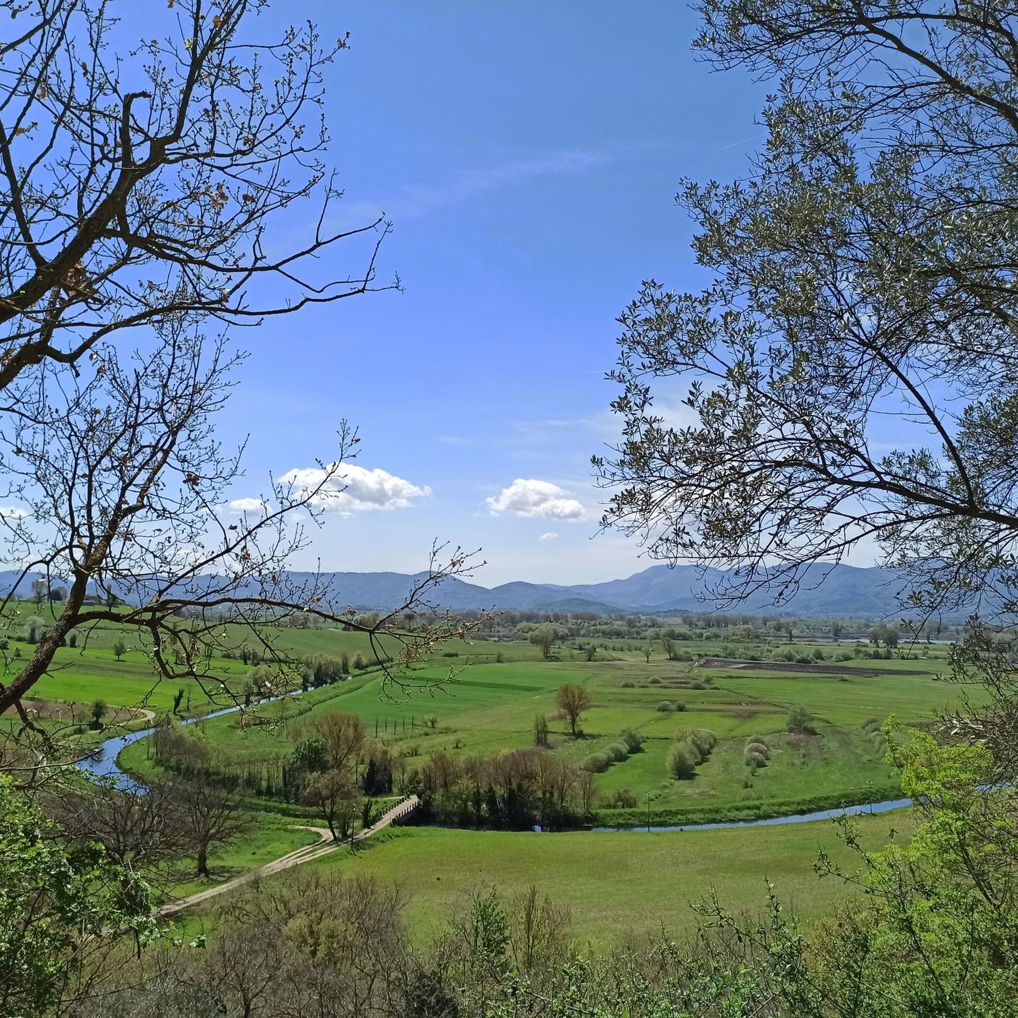
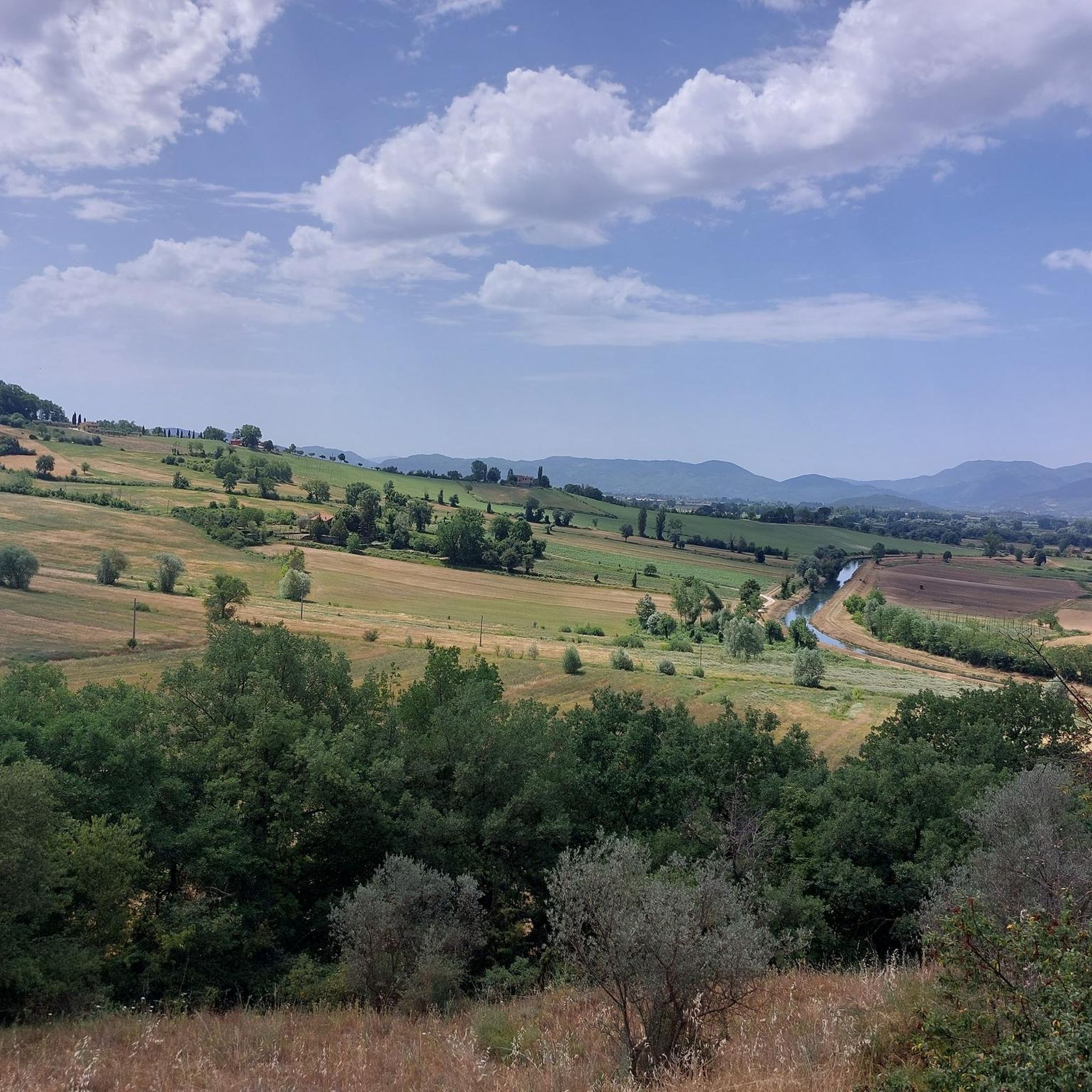
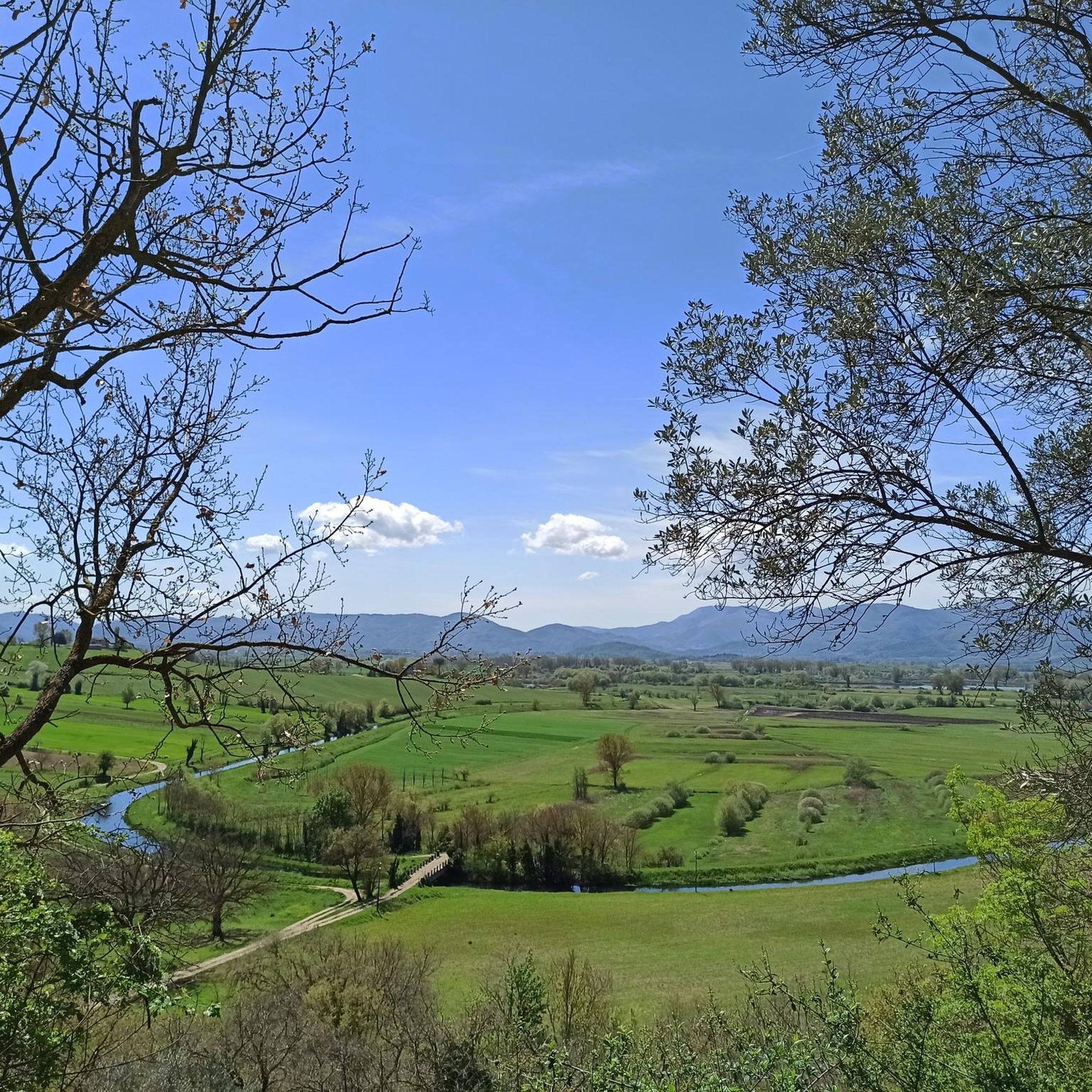
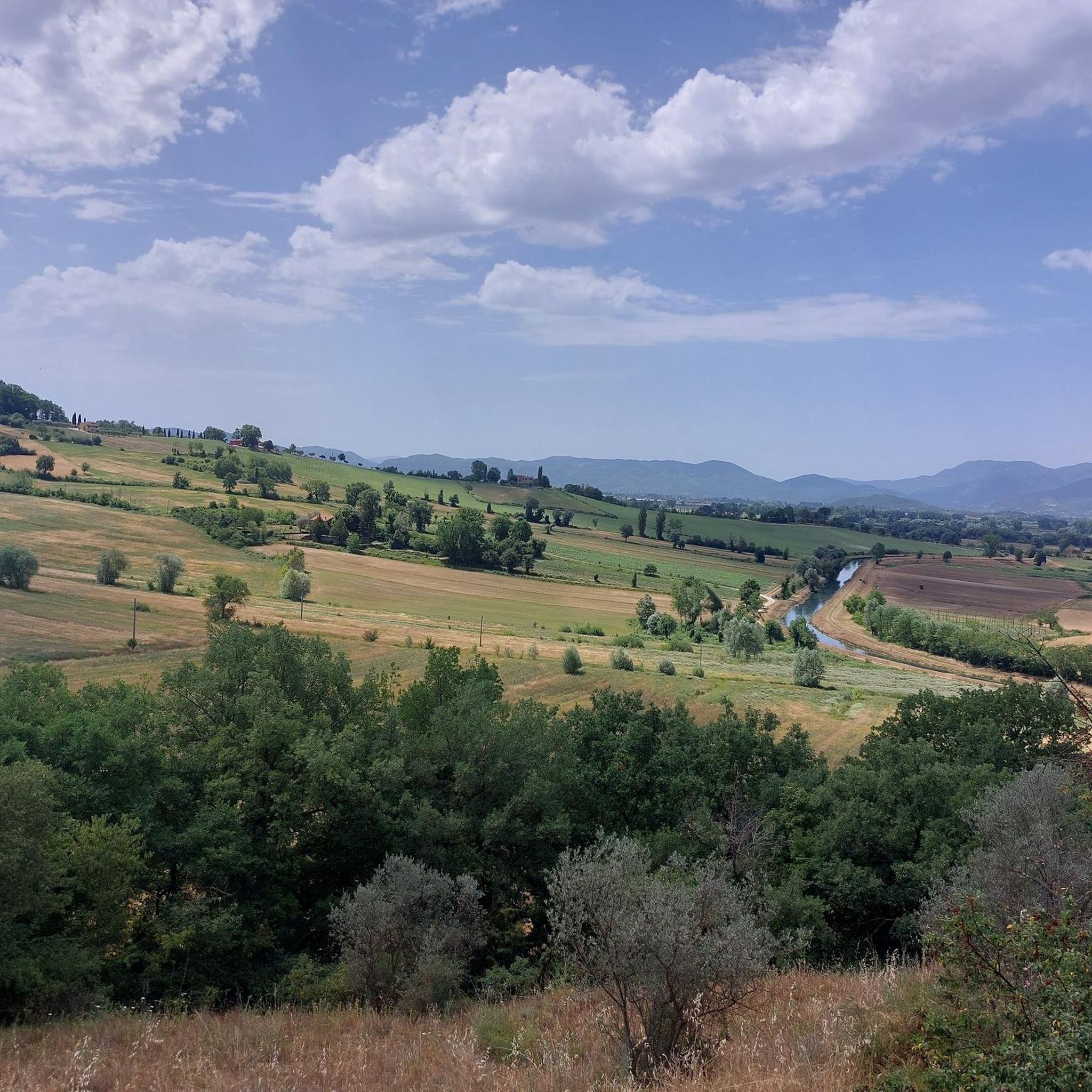
Tips from the Community

A stop at Piediluco Lake is highly recommended!
1
0

Chiesa del XIV secolo edificata in ricordo dei frequenti pellegrinaggi del Santo presso Piediluco (TR)
2
0

Lago di Piediluco / Lake Piediluco Located in the southeastern foothills of Umbria, with a tributary bordering Lazio, Lake Piediluco, although 1.85 km² wide, is the largest natural lake basin in the region after Lake Trasimeno. Its name seems to be interpreted as "at the foot of the sacred grove." Together with Lakes Lungo, Ripasottile, and Ventina, located in the province of Rieti, it represents one of the remains of the ancient Lacus Velinus, a large basin of alluvial origin formed starting in the Quaternary period. The irregularly shaped lake, with a circumference of approximately 13 kilometers, is located at an altitude of 375 meters and has a maximum depth of approximately 19 meters. Its natural tributary is the Fuscello stream; the other two tributaries are represented by artificial canals. One connects it to the Velino River, while the other, 42 kilometers long, consists almost entirely of tunnels and diverts part of the waters of the Nera River into the lake. The inflow and outflow of water is entirely tailored to the energy needs of the industry in nearby Terni. The emissary, the Velino River, is diverted towards Marmoré, where it flows into the Nera River to form the Marmore Waterfall. Text / Source: wikipedia.org https://it.wikipedia.org/wiki/Lago_di_Piediluco
14
0

Going down via Roma you reach the Velino bridge, known however by the same name as the one demolished in the thirties and placed, a little below, on the river bed: Roman bridge.
1
0

A hamlet of a thousand inhabitants in the municipality of Terni, Piediluco is known for the lake of the same name and is frequented by those visiting the nearby Marmore waterfalls. Of particular charm here is also the Rocca Albornoz, which stands on Monte Luco, abandoned since the end of the 18th century.
0
0

View of Piazza VII Aprile with the Renaissance fountain located in the center of Piazza VII Aprile. It was commissioned by Ottavio Farnese, together with Margherita d'Austria in 1552, built by maestro Nicola De Joanni. It has an octagonal plan with a basin divided into four sides, embellished with coats of arms and ribbon elements. The central octagonal balustrade is decorated with coats of arms and dolphins, as well as masks.
0
0
It is early morning and the air is still like the lake water, everything is silent before the awakening of nature and man. The sun is there and begins to make visible the palette of a thousand colors. It is life that gives itself
0
0

Piazza di Leonessa which commemorates the Nazi massacre of 7 April 1944
0
0
Frequently Asked Questions
How many running routes are available around Rivodutri?
There are over 30 dedicated running routes around Rivodutri, offering a variety of distances and difficulty levels. The komoot community has explored these trails extensively, with more than 600 runners using komoot to discover the area's diverse terrain.
What kind of landscapes can I expect on running routes in Rivodutri?
Jogging around Rivodutri offers a rich tapestry of natural beauty. You can expect serene routes alongside the Lungo and Ripasottile Lakes Reserve, picturesque water routes near the Santa Susanna Spring, and historical pathways that are part of the Way of St. Francis. The terrain varies from flat, accessible lakeside paths to more challenging routes with moderate elevation leading to natural landmarks.
What is the general difficulty level of running trails in Rivodutri?
The running trails in Rivodutri cater to a range of abilities. Out of the 34 available routes, 1 is easy, 25 are moderate, and 8 are difficult. This means you can find everything from gentle lakeside runs to more challenging trails with significant elevation gain.
Are there any easy or beginner-friendly running paths in Rivodutri?
Yes, Rivodutri offers easy running paths suitable for beginners. While most routes are moderate, you can find gentle terrain, especially around the Lungo and Ripasottile Lakes Reserve, which provides flat, accessible paths ideal for leisurely runs. These areas are perfect for enjoying the natural ambiance without significant climbs.
Are there any long-distance running routes in the Rivodutri area?
For those seeking longer runs, the region offers several options. One notable route is the Leonessa - Monte Tilia Loop, which spans approximately 5.7 miles (9.1 km) and features a significant elevation gain, making it a challenging and rewarding option for experienced runners.
What do other runners enjoy the most about jogging in Rivodutri?
The running routes in Rivodutri are highly regarded by the komoot community, holding an average rating of 4.0 stars from over 40 reviews. Runners frequently praise the serene lakeside paths, the natural beauty of the springs, and the historical pathways that offer a unique backdrop for their runs. The variety of terrain, from flat to moderately challenging, is also a highlight.
Are there any circular running routes in Rivodutri?
Yes, many of the running routes around Rivodutri are circular, allowing you to start and end at the same point. A popular example is the Lago Piediluco – ring tour, which is a 3.5-mile (5.6 km) loop offering scenic views around the lake. Another favorite is the Piediluco lakeside promenade – Lake Piediluco loop from Piediluco, a moderate 5.3-mile (8.5 km) path.
What natural attractions can I see along the running routes?
Rivodutri's running routes are rich with natural attractions. You can jog alongside the biodiverse Lungo and Ripa Sottile Lakes Nature Reserve, experience the clear waters of the Santa Susanna Spring, or even encounter the majestic Beech Tree of St. Francis in the hamlet of Cepparo. These features provide beautiful scenery and points of interest during your run.
Are there any historical landmarks or points of interest near the running trails?
Absolutely. Rivodutri is situated on the Way of St. Francis, a historical pilgrimage route, meaning many trails follow ancient paths. You might also find yourself near the Chapel of San Francesco or the San Francesco al Cepparo Church, offering a blend of natural beauty and historical significance to your run.
Are there any running routes that offer scenic viewpoints?
Yes, several routes provide rewarding views. While Mount Terminillo is further afield, paths leading to higher elevations, such as those near the San Francesco al Cepparo Church, offer panoramic vistas. The lakeside routes around Lake Piediluco also provide beautiful, expansive views of the water and surrounding landscape.
Is there a good time of year to go running in Rivodutri?
Rivodutri is generally pleasant for running for much of the year. Spring and autumn offer mild temperatures and vibrant natural colors, making them ideal. Summer mornings and evenings are also great for enjoying the lakeside and shaded routes. Winter can be beautiful, especially on lower elevation trails, but higher routes might require more preparation due to colder conditions.
Are there any running routes suitable for families?
Yes, the flatter, more accessible routes, particularly those around the Lungo and Ripasottile Lakes Reserve and along the Santa Susanna Spring, are well-suited for families. These areas offer gentle terrain and beautiful scenery, making them enjoyable for all ages and abilities.
What is the longest running route available in the area?
One of the longer routes you can explore is the Leonessa - Monte Tilia Loop, which covers approximately 5.7 miles (9.1 km). This route is classified as difficult due to its elevation gain, offering a substantial challenge for runners looking for a longer, more demanding experience.
Most popular attractions around Rivodutri

Get inspired with the komoot mobile app


Explore more
Browse the best Running Trails & Routes in other regions.
