The best road cycling routes around Spangenberg
4.6
(669)
7,377
riders
26
rides
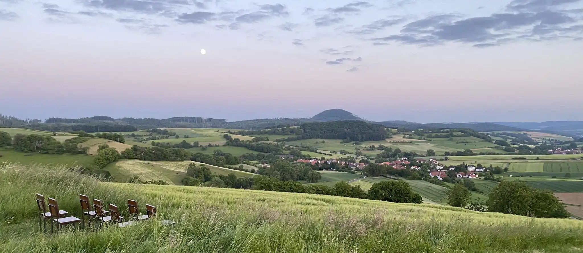
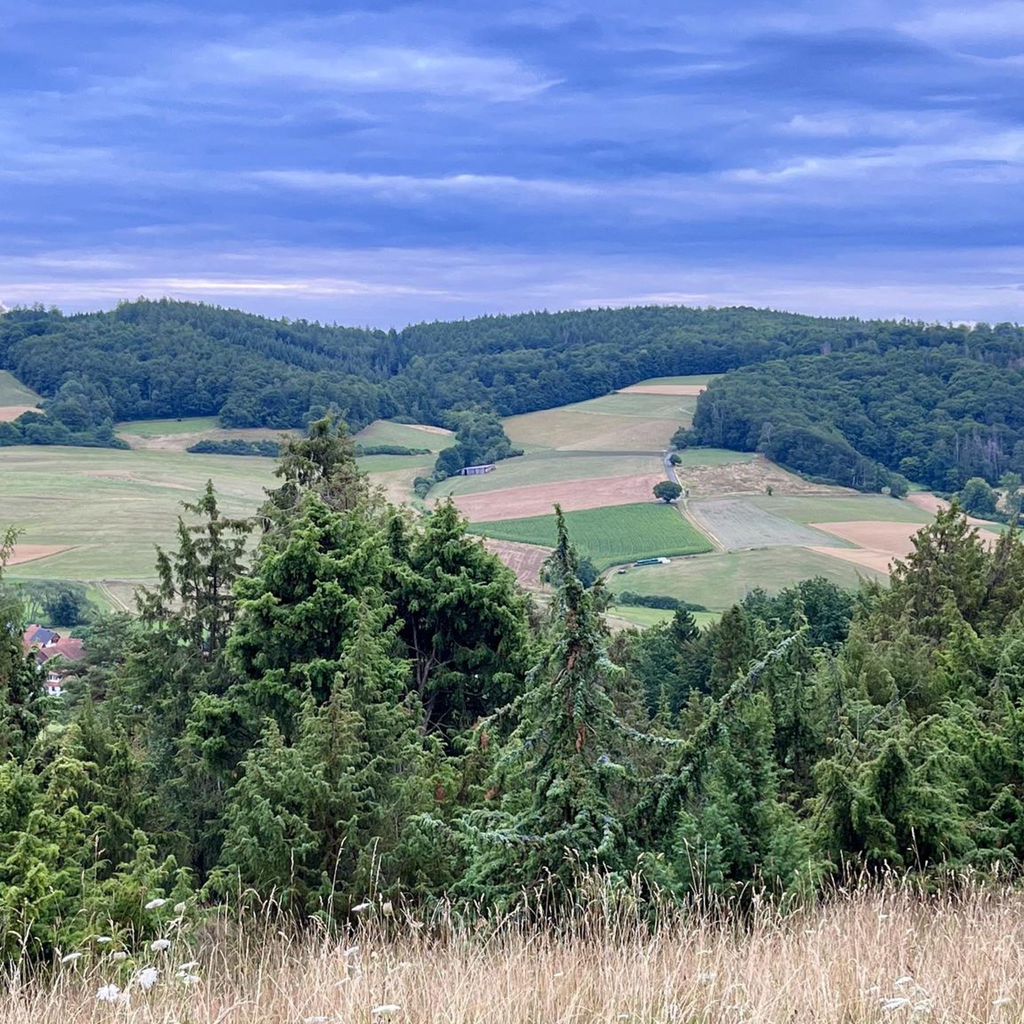
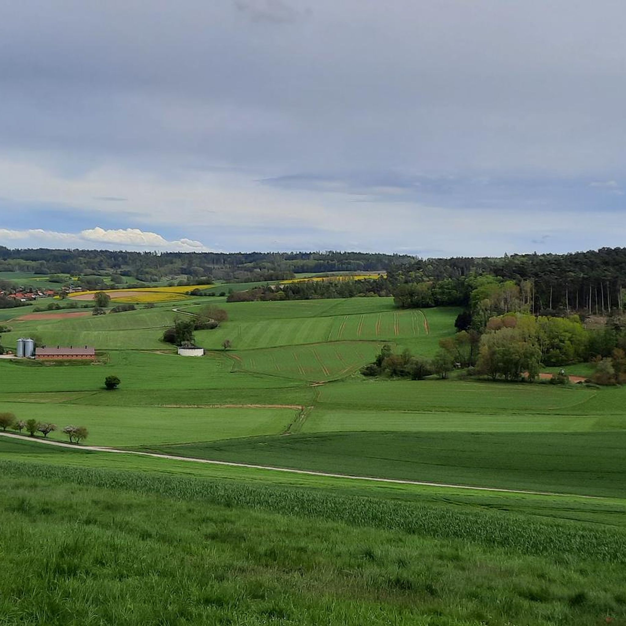
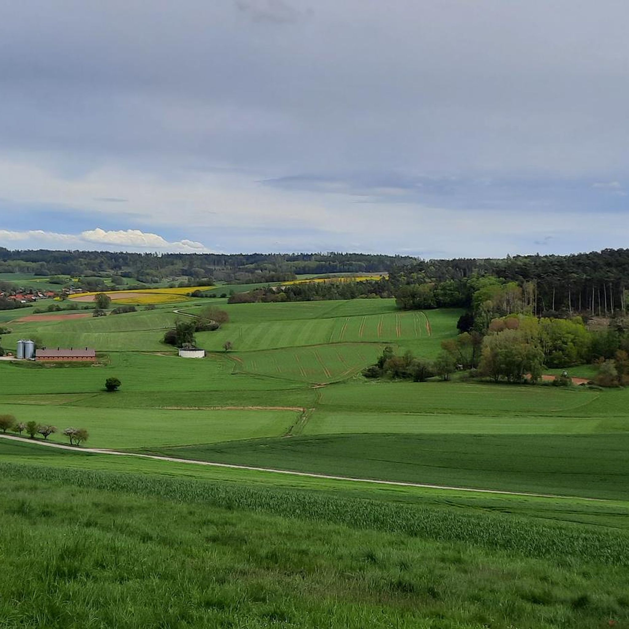
Road cycling routes around Spangenberg navigate a landscape characterized by rolling hills, river valleys, and forested areas in the Hessian countryside. The region offers varied terrain, from flatter sections along the Fulda River to more challenging ascents through wooded slopes. Road cyclists can expect a mix of open agricultural land and scenic routes connecting small towns and villages.
Best road cycling routes around Spangenberg
- The most popular road cycling route is Fulda River Path – Fuldatal Bridge Morschen loop from…
Last updated: October 11, 2026
4.8
(8)
138
riders
67.2km
02:51
490m
490m
Moderate road ride. Good fitness required. Mostly well-paved surfaces and easy to ride.
5.0
(8)
73
riders
51.6km
02:20
540m
540m
Moderate road ride. Good fitness required. Mostly well-paved surfaces and easy to ride.

4.9
(7)
73
riders
72.0km
03:07
650m
650m
Moderate road ride. Good fitness required. Mostly well-paved surfaces and easy to ride.
5.0
(3)
72
riders
Moderate road ride. Good fitness required. Mostly well-paved surfaces and easy to ride.
4.3
(4)
37
riders
Easy road ride. Great for any fitness level. Mostly well-paved surfaces and easy to ride.
Get access to more routes and recommendations from other explorers.
Already have an account?
Our route recommendations are based on thousands of hikes, rides, and runs completed by other people on komoot.
Start today with a free account
Your next adventure awaits.

Other adventures around Spangenberg

Tips from the Community

We passed there on our bike tour
0
0

The Fulda flows quite slowly and is quite wide through the weir. An idyllic spot.
0
0
beautiful view of the Fulda not far from the historic old town
0
0

A completely different bench. But good for resting. Unfortunately without a roof.
0
0
beautiful church, built of natural stones
1
0

A really beautiful old town with many great old half-timbered houses. Those who love half-timbered houses are in the right place here. The Fulda flows along the town.
0
0

make yourselves comfortable amongst yourselves
0
0
beautiful view into the Mülmischtal and towards Empfershausen
0
0
Frequently Asked Questions
How many road cycling routes are available around Spangenberg?
There are over 25 road cycling routes around Spangenberg, offering a variety of options for different skill levels. The komoot community has explored these routes over 500 times.
Are there easy road cycling routes suitable for beginners or families in Spangenberg?
Yes, Spangenberg offers several easy road cycling routes. For instance, the Melsungen Old Town – Melsungen Market Square loop from Spangenberg is an easy 16.1-mile (25.9 km) route with minimal elevation gain, perfect for a relaxed ride.
What kind of terrain can I expect on road cycling routes in Spangenberg?
Road cycling around Spangenberg features a diverse landscape of rolling hills, picturesque river valleys, and forested sections. You'll find a mix of flatter stretches, particularly along the Fulda River, and more challenging ascents through wooded slopes, offering varied terrain for all preferences.
Are there any challenging road cycling routes for experienced riders?
Absolutely. For those seeking a challenge, routes like the Dankeröder Höhe – Fuldatal Bridge Morschen loop from Pfieffe offer significant elevation gain over 44.7 miles (71.9 km), leading through varied terrain including the Dankeröder Höhe mountain pass.
What are some scenic viewpoints or landmarks to look out for on road cycling routes?
Many routes offer scenic views. You can pass by the historic Schloß Spangenberg, or explore the charming Melsungen Old Town. For panoramic vistas, consider routes that take you near highlights like the Alheimer Tower or the Ziegenküppel Observation Tower.
Are there loop routes available for road cycling in Spangenberg?
Yes, many road cycling routes in Spangenberg are designed as loops, allowing you to start and end at the same point. Examples include the popular Fulda River Path – Fuldatal Bridge Morschen loop from Schloß Spangenberg and the Melsungen Old Town – Melsungen Market Square loop from Pfieffe.
What is the best time of year for road cycling in Spangenberg?
The best time for road cycling in Spangenberg is generally from spring through autumn (April to October). During these months, the weather is typically mild, and the landscape is vibrant, offering ideal conditions for exploring the region's diverse routes.
Are there places to stop for refreshments or cafes along the road cycling routes?
Many routes connect small towns and villages where you can find cafes and restaurants. For example, routes passing through Melsungen will bring you to its charming Market Square, offering opportunities for a break and refreshments.
What do other road cyclists enjoy most about road cycling in Spangenberg?
The road cycling routes in Spangenberg are highly rated by the komoot community, with an average score of 4.75 stars from over 27 reviews. Cyclists often praise the varied terrain, the scenic views along river valleys, and the well-maintained paths connecting historic towns.
Where can I find parking for road cycling routes in Spangenberg?
Starting points for many routes, such as those from Schloß Spangenberg or Pfieffe, typically offer parking options. It's advisable to check the specific route details on komoot for recommended parking areas near the trailheads.
Are there any notable mountain passes or climbs for road cyclists in the area?
Yes, the region features several notable climbs and mountain passes. The Dankeröder Höhe is a prominent mountain pass that is part of some challenging routes, offering rewarding ascents and descents.
What is the typical length and duration of road cycling routes in Spangenberg?
Route lengths vary significantly, from shorter rides around 16 miles (25 km) to longer tours exceeding 40 miles (65 km). Durations can range from under 2 hours for easier routes to over 3 hours for more extensive and challenging loops, depending on your pace and the route's elevation profile.
Most popular routes around Spangenberg
Most popular attractions around Spangenberg

Get inspired with the komoot mobile app


Explore more
Browse the best Road cycling routes in other regions.
